Walks Routes Maps from Lamaload Reservoir in The White Peak Area, The Peak District, Cheshire in Walk Grade Order
Route maps for Walks that start, or go through, Lamaload Reservoir in The White Peak Area, The Peak District, Cheshire, England in Walk Grade Order
Details of refreshments, pubs & parking are included on each Lamaload Reservoir walk description.

   |
Vital Statistics:
| Length: | 3.5 miles (5.5 km) |
| Ascent: | 840ft (256m) |
| Time: | 2.25hrs |
| Grade: |  |

Route Summary:
Lamaload Reservoir - Saltersford Hall - Jenkin Chapel - Waggonshaw Brow - Yearns Low - Lamaload Roservoir.


|
Vital Statistics:
| Length: | 6.25 miles (10 km) |
| Ascent: | 1,224ft (373m) |
| Time: | 3½ hrs |
| Grade: |  |

Route Summary:
Lamaload Reservoir - Shining Tor - Cats Tor - Pym Chair - Jenkin Chapel - Lamaload Reservoir

|
Vital Statistics:
| Length: | 7.25 miles (11.5 km) |
| Ascent: | 1,680ft (512m) |
| Time: | 4½ hrs |
| Grade: |  |
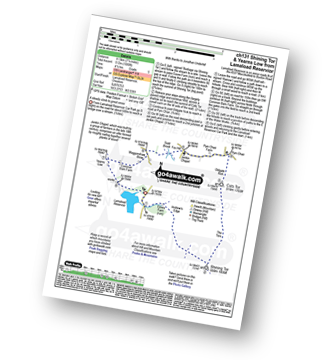
Route Summary:
Lamaload Reservoir - Shining Tor - Cats Tor - Pym Chair - Jenkin Chapel - Waggonshaw Brow - Yearns Low - Lamaload Reservoir

|
Vital Statistics:
| Length: | 9.5 miles (15 km) |
| Ascent: | 1,611ft (491m) |
| Time: | 5 hrs |
| Grade: | |

Route Summary:
Lamaload Reservoir - Saltersford Hall - Jenkin Chapel - Kettleshulme - Windgather Rocks - Pym Chair - Cats Tor - Shining Tor - Lamaload Reservoir
See more easy-to-follow circular walks in The Peak District
See more easy-to-follow circular walks in Cheshire