|
Vital Statistics:
| Length: | 6½mls (10.5km) |
| Ascent: | 1,877ft (572m) |
| Time: | 4¼hrs |
| Grade: |  |

Route outline for walk c354:
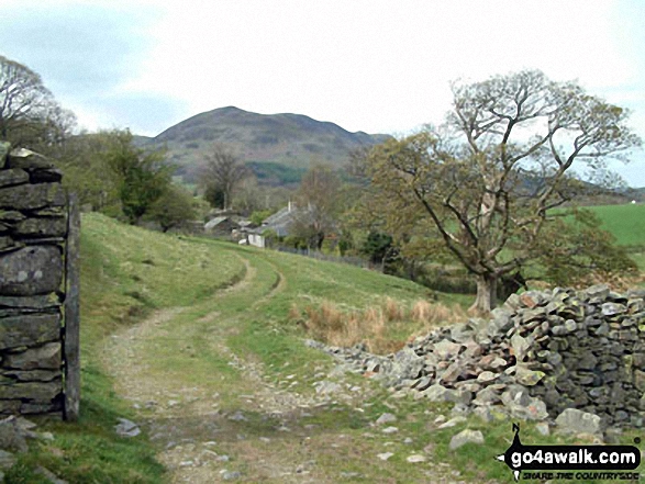
Lanthwaite - Scale Hill - Scalehill Bridge - Muncaster House - Loweswater - Low Park - Mellbreak (North Top) - Mellbreak - Black Beck (Mosedale) - Scale Knott - Scale Beck - High Ling Crag - Low Ling Crag - Crummock Water - Lanthwaite
Peaks, Summits and Tops reached on this walk:
 0 English Mountains |
 1 Wainwright |
 0 English Nuttalls |
 2 English Deweys |
 0 Wainwright Outlying Fells |
 1 Marilyn |
 0 Bridgets |
Peak Bagging Statistics for this walk:
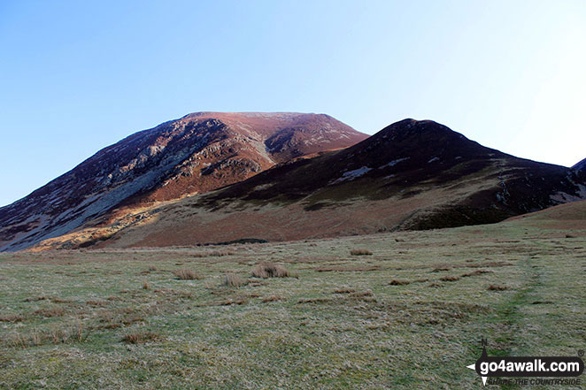
The highest point of this walk is Mellbreak at 512m (1680ft). Mellbreak is classified as an Wainwright (No. 168).
Mellbreak is also known as an English Dewey (156th highest in England, 358th in England & Wales) and an English Marilyn (75th highest in England, 962nd highest in the UK).
Completing this walk will also take you to the top of Mellbreak (North Top) at 509m (1671ft). Mellbreak (North Top) is also known as an English Dewey (162nd highest in England, 373rd in England & Wales) The summit of Mellbreak (North Top) is marked by an Ordnance Survey Trig Point.
You can find this walk and other nearby walks on these unique free-to-access Interactive Walk Planning Maps:
1:25,000 scale OS Explorer Map (orange/yellow covers):
1:50,000 scale OS Landranger Map (pink/magenta covers):
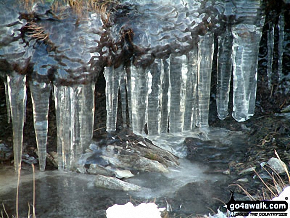
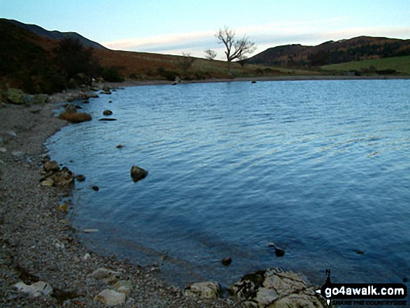
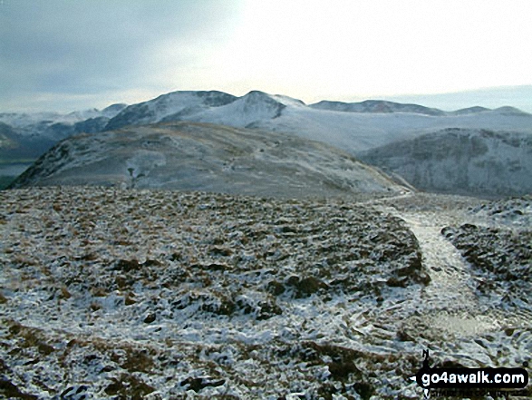
Some Photos and Pictures from Walk c354 Mellbreak from Lanthwaite Wood
In no particular order . . .
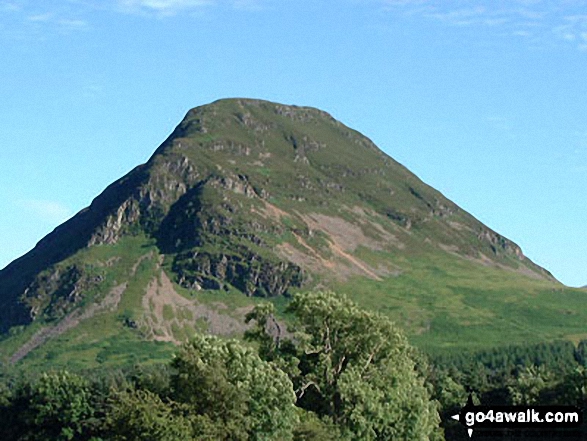
Early morning sun on Whiteside (Crummock) (left) and Whin Ben (right) from Lanthwaite Green
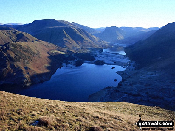
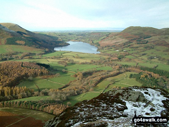
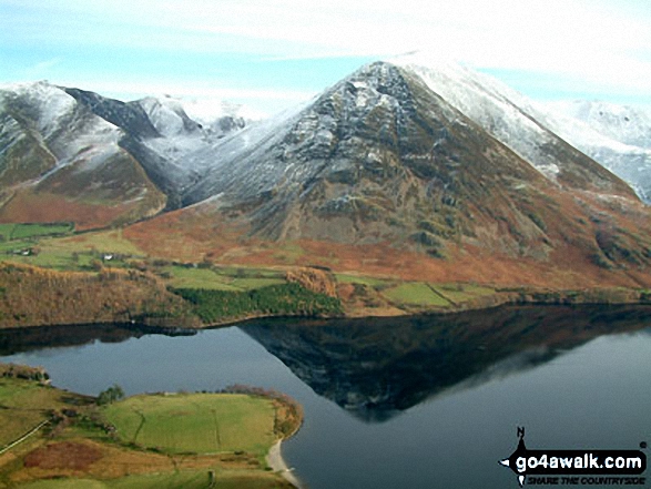
Crummock Water and Buttermere with Grasmoor (far left), Robinson, Hindscarth and Dale Head (left), Fleetwith Pike (centre) and Red Pike (Buttermere) (far right) from Mellbreak
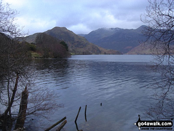
Crummock Water and Low Ling Crag - with Rannerdale Knotts (left), Fleetwith Pike (centre) and The High Stile Ridge (right)
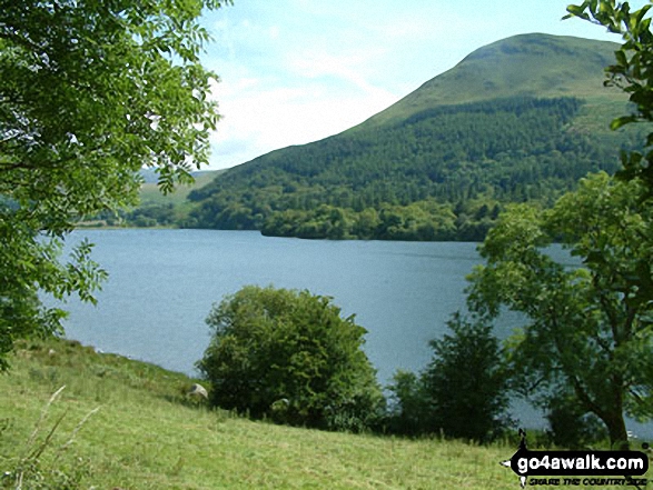
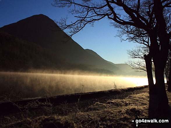
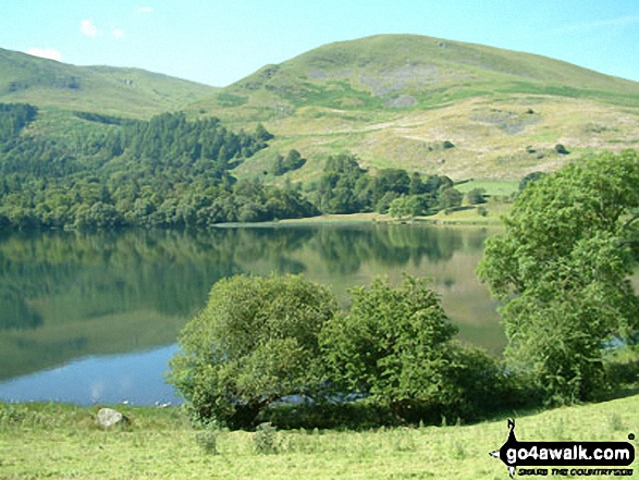
Early morning mist catches the low light on Crummock Water with the towering Grasmoor beyond
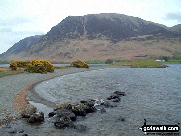
Crummock Water, Rannerdale Knotts (left) and The High Stile Ridge from Cinderdale Common
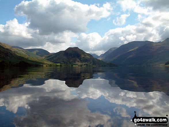
The shoulder of Grasmoor (left), Robinson, Rannerdale Knotts (centre) and the High Stile Ridge (High Crag, High Stile and Red Pike (Buttermere) reflected beautifully in a very still Crummock Water taken from the north west shore below Mellbreak
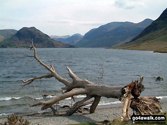
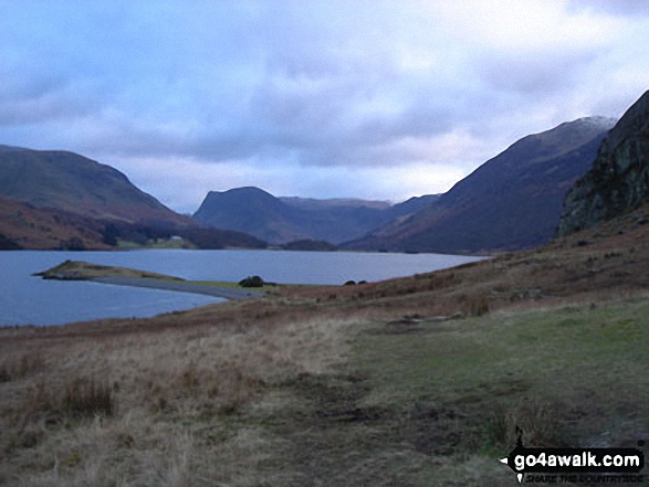
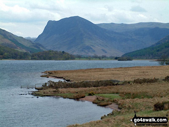
Fleetwith Pike and The High Stile massif from the North shore of Crummock Water
. . . load all 40 walk photos from Walk c354 Mellbreak from Lanthwaite Wood
Send us your photographs and pictures from your walks and hikes
We would love to see your photographs and pictures from walk c354 Mellbreak from Lanthwaite Wood. Send them in to us as email attachments (configured for any computer) along with your name and where the picture was taken to:
and we shall do our best to publish them.
(Guide Resolution = 300dpi. At least = 660 pixels (wide) x 440 pixels (high).)

You can also submit photos from walk c354 Mellbreak from Lanthwaite Wood via our Facebook Page.
NB. Please indicate where each photo was taken.