|
Vital Statistics:
| Length: | 3mls (5km) |
| Ascent: | 922ft (281m) |
| Time: | 2hrs |
| Grade: |  |
Route outline for walk c320:
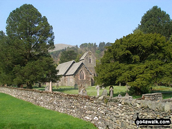
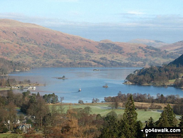
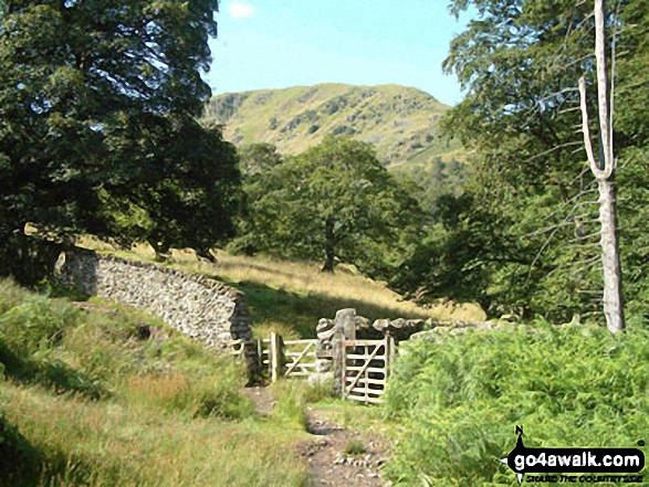
Patterdale - Arnison Crag - Glenamara Park - Grisedale Bridge - Patterdale
Peaks, Summits and Tops reached on this walk:
 0 English Mountains |
 1 Wainwright |
 0 English Nuttalls |
 0 English Deweys |
 0 Wainwright Outlying Fells |
 0 Marilyns |
 0 Bridgets |
Peak Bagging Statistics for this walk:
The highest point of this walk is Arnison Crag at 433m (1421ft). Arnison Crag is classified as an Wainwright (No. 194).
You can find this walk and other nearby walks on these unique free-to-access Interactive Walk Planning Maps:
1:25,000 scale OS Explorer Map (orange/yellow covers):
1:50,000 scale OS Landranger Map (pink/magenta covers):
Some Photos and Pictures from Walk c320 Arnison Crag from Patterdale
In no particular order . . .
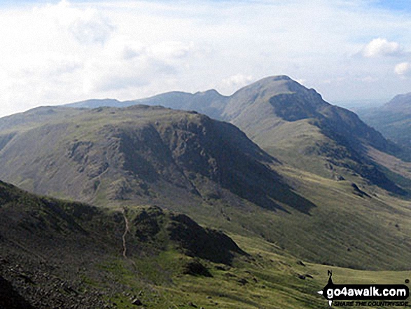
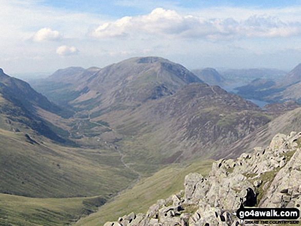
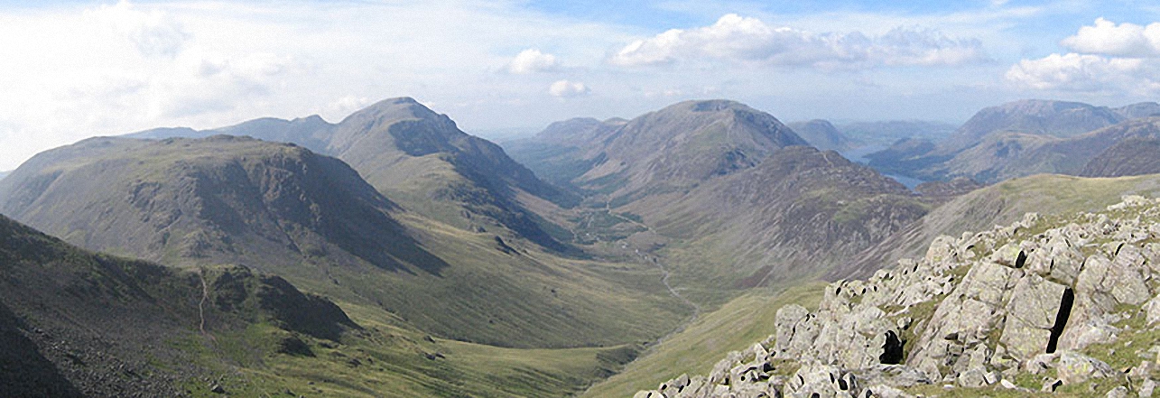
Kirk Fell, Looking Stead & Pillar, Ennerdale, High Stile, High Crag & Hay Stacks, Crummock Water & Buttermere and Grasmoor from Green Gable
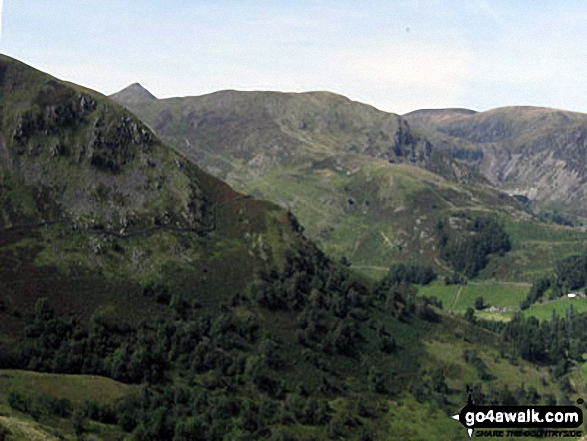
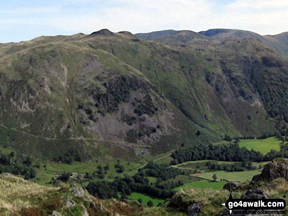
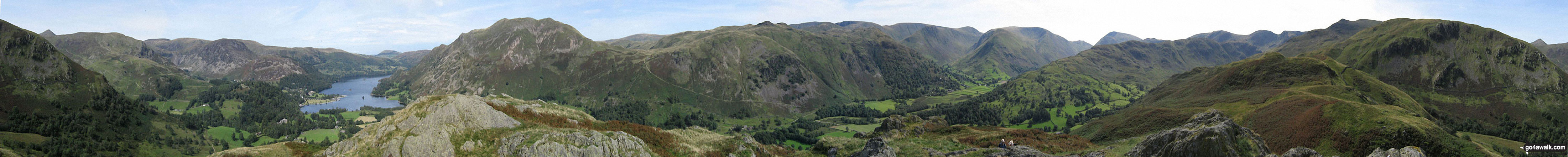
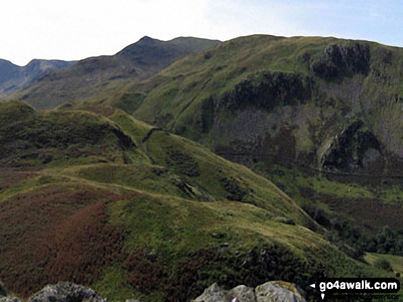
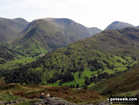
The shoulder of St Sunday Crag and Birks (left), Catstye Cam, Birkhouse Moor (centre) and Sheffield Pike from Arnison Crag, Patterdale
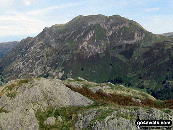
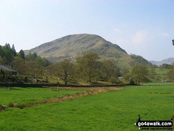
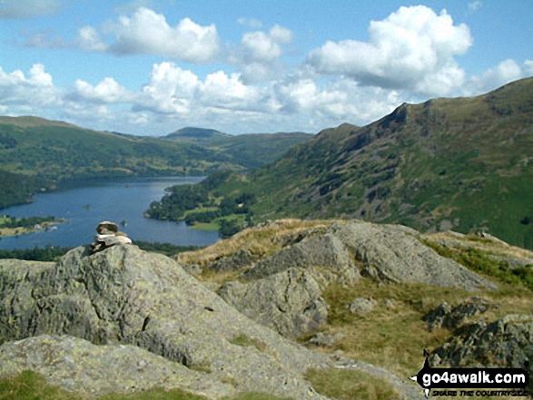
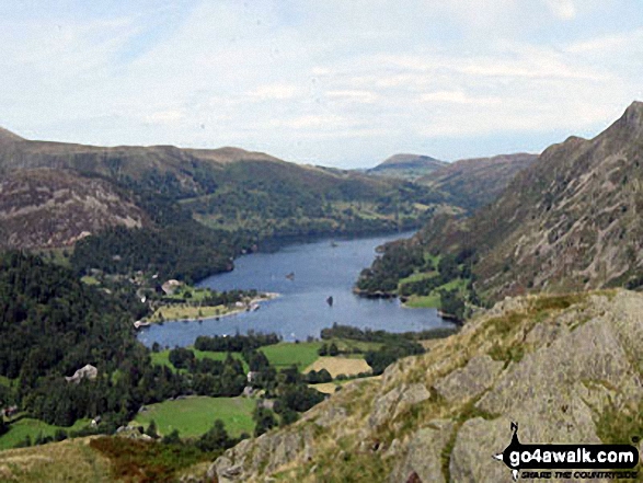
Thornthwaite Crag (left), Hartsop Dodd and Stony Cove Pike (Caudale Moor) (centre), Red Screes (right) and the shoulder of Hartsop above How (foreground) from Arnison Crag, Patterdale
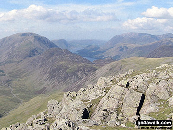
High Stile, High Crag & Hay Stacks, Crummock Water & Buttermere and Grasmoor from the top of Green Gable
Send us your photographs and pictures from your walks and hikes
We would love to see your photographs and pictures from walk c320 Arnison Crag from Patterdale. Send them in to us as email attachments (configured for any computer) along with your name and where the picture was taken to:
and we shall do our best to publish them.
(Guide Resolution = 300dpi. At least = 660 pixels (wide) x 440 pixels (high).)

You can also submit photos from walk c320 Arnison Crag from Patterdale via our Facebook Page.
NB. Please indicate where each photo was taken.