|
Vital Statistics:
| Length: | 11¾mls (19km) |
| Ascent: | 2,970ft (905m) |
| Time: | 7½hrs |
| Grade: |  |
Route outline for walk c199:
Ennerdale Weir - Ennerdale Water - Silver Cove Beck - Woundell Beck - Caw Fell - Silver Cove - Iron Crag - Crag Fell - Grike - Ennerdale Weir
Peaks, Summits and Tops reached on this walk:
 1 English Mountain |
 3 Wainwrights |
 2 English Nuttalls |
 1 English Dewey |
 0 Wainwright Outlying Fells |
 0 Marilyns |
 0 Bridgets |
Peak Bagging Statistics for this walk:
The highest point of this walk is Caw Fell at 697m (2288ft). Caw Fell is classified as an Wainwright (No. 91).
Caw Fell is also known as an English Nuttall (136th highest in England, 225th highest in England & Wales).
Completing this walk will also take you to the top of Iron Crag at 640m (2100ft). Iron Crag is classified as an English Mountain (Hewitt) (151st highest in England, 258th highest in England & Wales)
Iron Crag is also known as an English Nuttall (200th highest in England, 348th highest in England & Wales).
You will also reach the summit of Crag Fell at 523m (1716ft). Crag Fell is classified as an Wainwright (No. 163).
Crag Fell is also known as an English Dewey (131st highest in England, 299th in England & Wales)
Along the way you will also bag:
- Grike at 488m (1602ft). Grike is classified as a Wainwright (No. 178)
You can find this walk and other nearby walks on these unique free-to-access Interactive Walk Planning Maps:
1:25,000 scale OS Explorer Map (orange/yellow covers):
1:50,000 scale OS Landranger Map (pink/magenta covers):
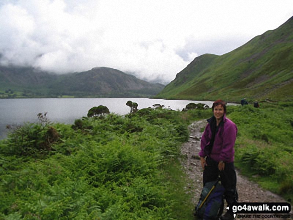
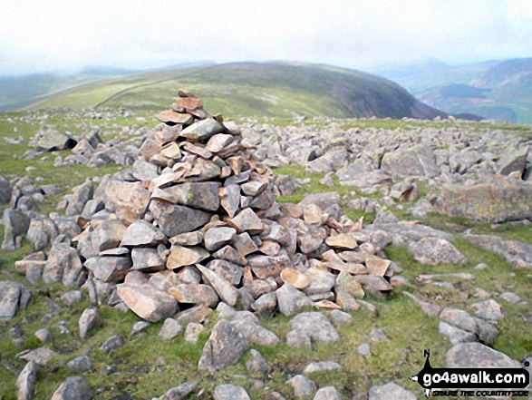
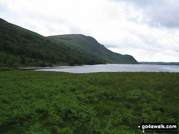
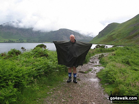
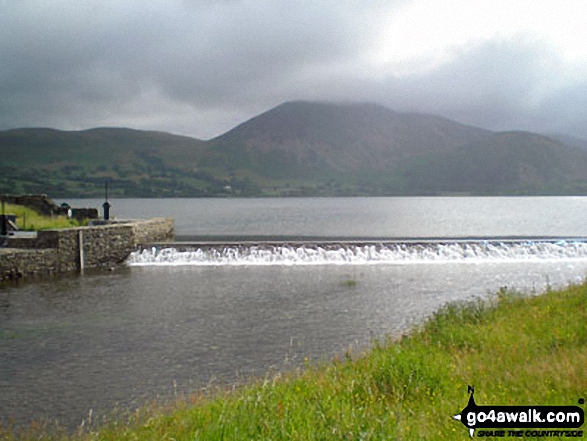
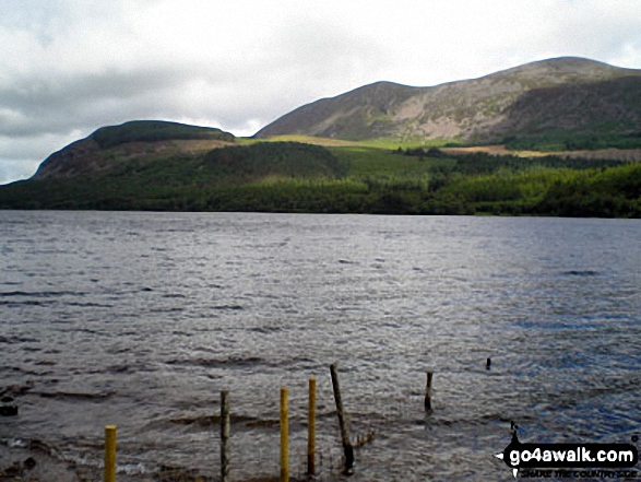
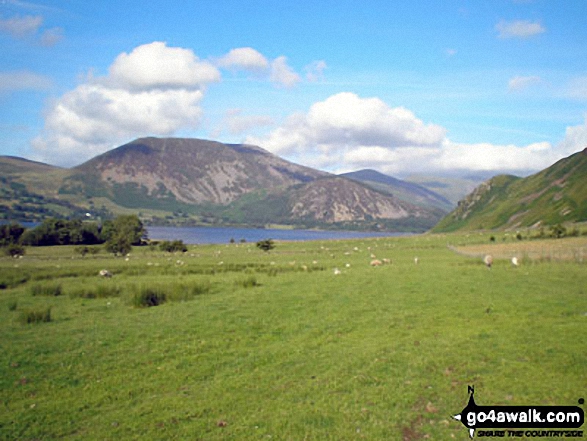
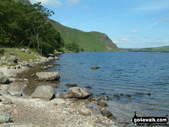
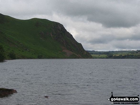
Some Photos and Pictures from Walk c199 Iron Crag and Grike from Ennerdale Water
In no particular order . . .
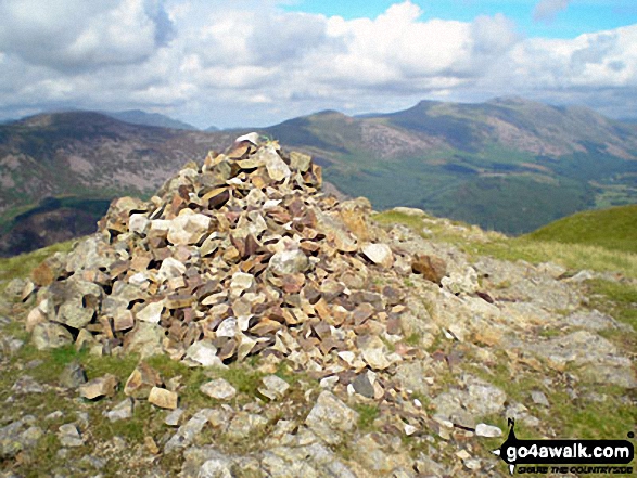
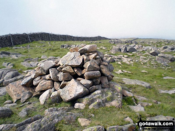
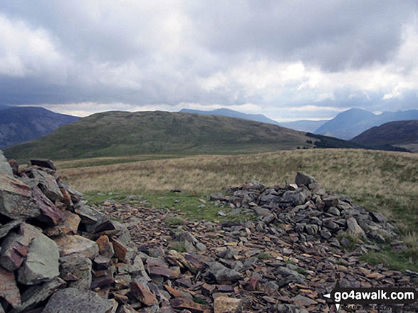
Crag Fell summit cairn with Great Borne (left), Starling Dodd (centre), Red Pike (Buttermere) and High Stile in the distance
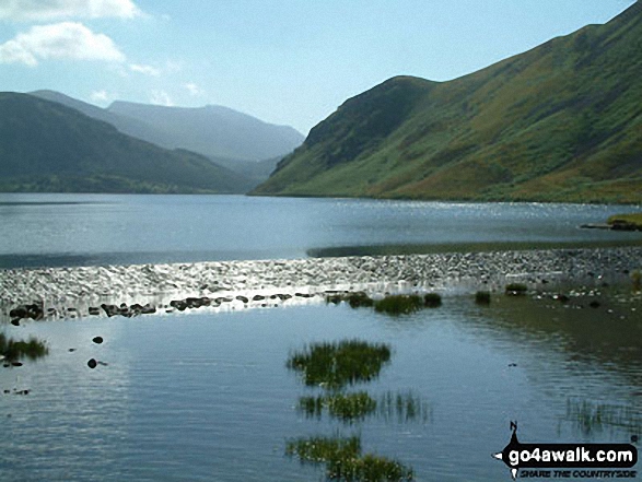
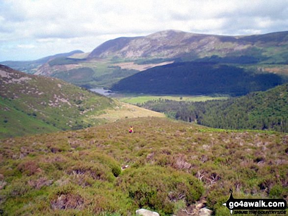
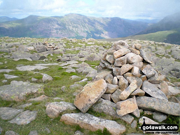
Climbing the ridge between Sliver Cove Beck and Deep Gill with Ennerdale Water, Great Borne and Starling Dodd beyond
. . . load all 52 walk photos from Walk c199 Iron Crag and Grike from Ennerdale Water
Send us your photographs and pictures from your walks and hikes
We would love to see your photographs and pictures from walk c199 Iron Crag and Grike from Ennerdale Water. Send them in to us as email attachments (configured for any computer) along with your name and where the picture was taken to:
and we shall do our best to publish them.
(Guide Resolution = 300dpi. At least = 660 pixels (wide) x 440 pixels (high).)

You can also submit photos from walk c199 Iron Crag and Grike from Ennerdale Water via our Facebook Page.
NB. Please indicate where each photo was taken.