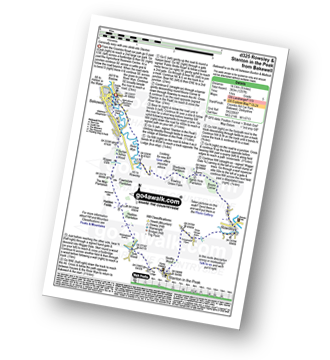
Two easy to follow pub walks from The Flying Childers, Stanton in the Peak, The Peak District, Derbyshire, England
To reach The Flying Childers, Stanton in the Peak, in-car SatNav users should select the Latitude/Longitude (Lat Lon) screen and enter:
Lat = N53.17532 and Lon = W 1.64166
Tap/mouse over a coloured circle (1-3 easy walks, 4-6 moderate walks, 7-9 hard walks) and click to select.
Tap/mouse over a coloured circle (1-3 easy walks, 4-6 moderate walks, 7-9 hard walks) and click to select.
Two easy to follow pub walks from The Flying Childers, Stanton in the Peak, The Peak District, Derbyshire, England
Scroll down the list of walks below & click on each walk title (in blue) to locate it on the map above.
   |
Vital Statistics:
| Length: | 7.5 miles (12 km) |
| Ascent: | 1,335ft (407m) |
| Time: | 4.25hrs |
| Grade: |  |

Route Summary:
Stanton in Peak - Nine Ladies Stone Circle - The Reform Tower (or Earl Grey Tower) - Cork Stone - Stanton Moor - Birchover - The Limestone Way - Robin Hood's Stride - Harthill Moor - Harthill Moor Farm - River Bradford - Bradford Dale - Rhienstor Plantation - Alport - Tolls Wood - Stanton in Peak
|
Vital Statistics:
| Length: | 9 miles (14.5 km) |
| Ascent: | 1,257ft (383m) |
| Time: | 5 hrs |
| Grade: | |