One easy to follow pub walk from The Anglesey Arms, Halnaker, The South Downs, West Sussex, England
To reach The Anglesey Arms, Halnaker, in-car SatNav users should select the Latitude/Longitude (Lat Lon) screen and enter:
Lat = N50.86569 and Lon = W 0.71033
Tap/mouse over a coloured circle (1-3 easy walks, 4-6 moderate walks, 7-9 hard walks) and click to select.
Tap/mouse over a coloured circle (1-3 easy walks, 4-6 moderate walks, 7-9 hard walks) and click to select.
One easy to follow pub walk from The Anglesey Arms, Halnaker, The South Downs, West Sussex, England
Scroll down the list of walks below & click on each walk title (in blue) to locate it on the map above.
   |
Vital Statistics:
| Length: | 9 miles (14.5 km) |
| Ascent: | 853ft (260m) |
| Time: | 4.25hrs |
| Grade: |  |
Route Summary:
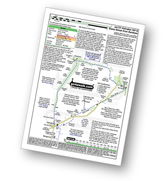
Eartham Woods - The Monarch's Way - Selhurst Park Farm - Red Copse - Chisledown - Eastdean Hill - Pillygreen Lodges - Halnaker Gallop - Open Winkins - Ladys Winkins - Little Copse - Little Halnaker - Halnaker - Boxgrove Priory - Boxgrove Commoon - Warehead Farm - Halnaker Hill - Stane Street (Roman Road) - Bushy Copse - Eartham Woods


