Walks Routes Maps from Romney Street in Kent in Walk Grade Order
Route maps for Walks that start, or go through, Romney Street in Kent, England in Walk Grade Order
Details of refreshments, pubs & parking are included on each Romney Street walk description.

   |
Vital Statistics:
| Length: | 7.25 miles (11.5 km) |
| Ascent: | 840ft (256m) |
| Time: | 3½ hrs |
| Grade: |  |
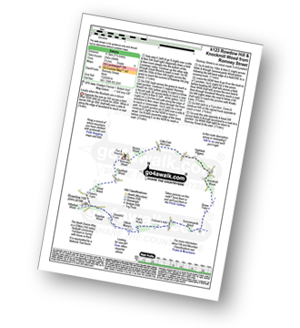
Route Summary:
Romney Street - Courtfield Wood - Eastdown - Great Wood - Paine's Farm - Rowdon Hill - The North Downs Way - Rowdow Wood - Shorehill Farm - Otford Manor - Fab's Wood - Cotman's Ash - Summeryards Wood - Knockmill Wood - Highfield Piggery - Little East Hill Farm - Broom Wood - Romney Street


|
Vital Statistics:
| Length: | 9.5 miles (15 km) |
| Ascent: | 1,306ft (398m) |
| Time: | 4.75hrs |
| Grade: |  |
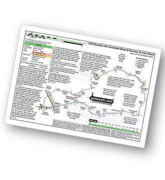
Route Summary:
Otford - The North Downs Way - Otford Mount - Hillydeal Wood - Rowdow Hill - Rowdow Wood - Shorehill Farm - Otford Manor - Fab's Wood - Cotman's Ash - Summeryards Wood - Knockmill Wood - Highfield Piggery - Little East Hill Farm - Broom Wood - Romney Street - Courtfield Wood - Eastdown - Great Wood - Paine's Farm - Greenhill Wood - Otford
See more easy-to-follow circular walks in Kent