Walks Routes Maps from Lower Rivington Reservoir in The South Pennines and The Forest of Bowland, Lancashire in Walk Grade Order
Route maps for Walks that start, or go through, Lower Rivington Reservoir in The South Pennines and The Forest of Bowland, Lancashire, England in Walk Grade Order
Details of refreshments, pubs & parking are included on each Lower Rivington Reservoir walk description.
   |
Vital Statistics:
| Length: | 4.5 miles (7 km) |
| Ascent: | 893ft (272m) |
| Time: | 2½ hrs |
| Grade: |  |

Route Summary:
Great House Information Centre - Rivington Hall - Rivington Cottage - Rivington Upper Barn - Pigeon Tower (Rivington Moor) - Rivington Pike - Brown Hill (Rivington Moor) - Higher Knoll - Rivington Lane Car Park - Lever Park - The Castle (Lower Rivington Reservoir) - Lower Rivington Reservoir - Great House Information Centre
|
Vital Statistics:
| Length: | 6.25 miles (10 km) |
| Ascent: | 879ft (268m) |
| Time: | 3.25hrs |
| Grade: |  |

Route Summary:
Lower Rivington Reservoir - Rivington - Upper Rivington Reservoir - Pilkington Wood - Street Wood - Yarrow Reservoir - Bradley Wood - Anglezarke Reservoir - High Bullough Reservoir - John Meadow Wood - Heapey Waterman's Cottage - Grey Heights Wood - Heapey Fold Lane - Kays Farm - Waring Fram - Lane Ends (Adlington) - Upper Rivington Reservoir - Lower Rivington Reservoir
|
Vital Statistics:
| Length: | 7.75 miles (12.5 km) |
| Ascent: | 1,536ft (468m) |
| Time: | 4½ hrs |
| Grade: |  |
Route Summary:
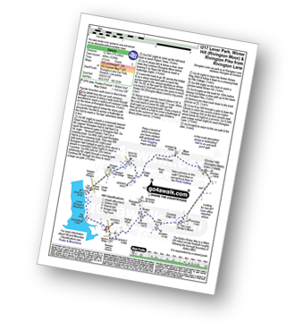
Rivington Lane Car Park - Lever Park - The Castle (Lower Rivington Reservoir) - Lower Rivington Reservoir - Great House Information Centre - Rivington Hall - Rivington Cottage - Rivington Upper Barn - Pigeon Tower (Rivington Moor) - Catter Nab - Noon Hill Slack - Moor Bottom - Winter Hill (Rivington Moor) - Crooked Edge Hill - Two Lads (Rivington Moor) - Pike Cottage - Brown Hill (Rivington Moor) - Rivington Pike - Higher Knoll - Rivington Lane Car Park
See more easy-to-follow circular walks in The South Pennines and The Forest of Bowland
See more easy-to-follow circular walks in Lancashire


