Scotland - a fully detailed list of all the Mountains, Peaks, Tops and Hills (Page 4 of 8)
If you count only the Corbetts there are 222 tops to climb, bag & conquer and the highest point is Beinn a' Chlaidheimh at 914m (2,999ft).
To see these Mountains, Peaks, Tops and Hills displayed in different ways - see the options in the left-hand column and towards the bottom of this page.
![]() Your Personal Bagging Record for Scotland
Your Personal Bagging Record for Scotland
LOG ON and RELOAD this page to show which Mountains, Peaks, Tops and Hills you have already climbed, bagged & conquered [. . . more details]
See this list in: Alphabetical Order
| Height Order‡
To reverse the order select the link again.
Mountain, Peak, Top or Hill:
Bagged

![]()
91. Bac an Eich
849m (2,786ft)
Bac an Eich is on interactive maps:
A downloadable go4awalk.com PDF Peak Bagging Map featuring Bac an Eich will be available soon. |
![]()
92. Beinn nan Imirean
849m (2,786ft)
Beinn nan Imirean is on interactive maps:
A downloadable go4awalk.com PDF Peak Bagging Map featuring Beinn nan Imirean will be available soon. |
![]()
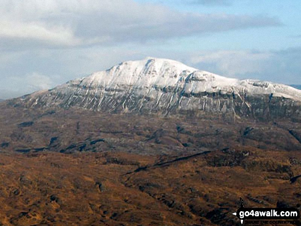
93. Cul Mor
849m (2,786ft)
Cul Mor is on interactive maps:
A downloadable go4awalk.com PDF Peak Bagging Map featuring Cul Mor will be available soon. |
![]()
94. Sgurr Ghiubhsachain
849m (2,786ft)
Sgurr Ghiubhsachain is on interactive maps:
A downloadable go4awalk.com PDF Peak Bagging Map featuring Sgurr Ghiubhsachain will be available soon. |
![]()
95. Ben Donich
847m (2,780ft)
Ben Donich is on interactive maps:
A downloadable go4awalk.com PDF Peak Bagging Map featuring Ben Donich will be available soon. |
![]()
96. Canisp
847m (2,780ft)
Canisp is on interactive maps:
A downloadable go4awalk.com PDF Peak Bagging Map featuring Canisp will be available soon. |
![]()
97. Beinn Resipol
845m (2,773ft)
Beinn Resipol is on interactive maps:
A downloadable go4awalk.com PDF Peak Bagging Map featuring Beinn Resipol will be available soon. |
![]()
98. Merrick
843m (2,766ft)
Merrick is on interactive maps:
A downloadable go4awalk.com PDF Peak Bagging Map featuring Merrick will be available soon. |
![]()
99. Carn Ban (Freevater Forest)
842m (2,763ft)
Send it in and we'll publish it here.
Carn Ban (Freevater Forest) is on interactive maps:
A downloadable go4awalk.com PDF Peak Bagging Map featuring Carn Ban (Freevater Forest) will be available soon. |
![]()
100. Ben Vrackie
842m (2,762ft)
Ben Vrackie is on interactive maps:
A downloadable go4awalk.com PDF Peak Bagging Map featuring Ben Vrackie will be available soon. |
![]()
101. Beinn Mholach (Craiganour Forest)
841m (2,761ft)
Send it in and we'll publish it here.
Beinn Mholach (Craiganour Forest) is on interactive maps:
A downloadable go4awalk.com PDF Peak Bagging Map featuring Beinn Mholach (Craiganour Forest) will be available soon. |
![]()
102. Sgurr an Airgid
841m (2,760ft)
Sgurr an Airgid is on interactive maps:
A downloadable go4awalk.com PDF Peak Bagging Map featuring Sgurr an Airgid will be available soon. |
![]()
103. Ben Rinnes
841m (2,759ft)
Ben Rinnes is on interactive maps:
A downloadable go4awalk.com PDF Peak Bagging Map featuring Ben Rinnes will be available soon. |
![]()
104. Beinn Trilleachan
840m (2,757ft)
Beinn Trilleachan is on interactive maps:
A downloadable go4awalk.com PDF Peak Bagging Map featuring Beinn Trilleachan will be available soon. |
![]()
105. Beinn Udlaidh
840m (2,757ft)
Beinn Udlaidh is on interactive maps:
A downloadable go4awalk.com PDF Peak Bagging Map featuring Beinn Udlaidh will be available soon. |
![]()
106. Broad Law
840m (2,757ft)
Broad Law is on interactive maps:
A downloadable go4awalk.com PDF Peak Bagging Map featuring Broad Law will be available soon. |
![]()
107. Sgurr Gaorsaic
839m (2,754ft)
Sgurr Gaorsaic is on interactive maps:
A downloadable go4awalk.com PDF Peak Bagging Map featuring Sgurr Gaorsaic will be available soon. |
![]()
108. Carn Chuinneag
839m (2,753ft)
Carn Chuinneag is on interactive maps:
A downloadable go4awalk.com PDF Peak Bagging Map featuring Carn Chuinneag will be available soon. |
![]()
109. Meall na h-Eilde
838m (2,750ft)
Meall na h-Eilde is on interactive maps:
A downloadable go4awalk.com PDF Peak Bagging Map featuring Meall na h-Eilde will be available soon. |
![]()
110. Meallan nan Uan
838m (2,750ft)
Meallan nan Uan is on interactive maps:
A downloadable go4awalk.com PDF Peak Bagging Map featuring Meallan nan Uan will be available soon. |
![]()
111. Sron a' Choire Chnapanich
837m (2,747ft)
Send it in and we'll publish it here.
Sron a' Choire Chnapanich is on interactive maps:
A downloadable go4awalk.com PDF Peak Bagging Map featuring Sron a' Choire Chnapanich will be available soon. |
![]()
112. Sgurr Cos na Breachd-laoidh
835m (2,740ft)
Send it in and we'll publish it here.
Sgurr Cos na Breachd-laoidh is on interactive maps:
A downloadable go4awalk.com PDF Peak Bagging Map featuring Sgurr Cos na Breachd-laoidh will be available soon. |
![]()
113. Carn Dearg (Glen Roy)
834m (2,737ft)
Send it in and we'll publish it here.
Carn Dearg (Glen Roy) is on interactive maps:
A downloadable go4awalk.com PDF Peak Bagging Map featuring Carn Dearg (Glen Roy) will be available soon. |
![]()
114. Creag nan Gabhar
834m (2,737ft)
Creag nan Gabhar is on interactive maps:
A downloadable go4awalk.com PDF Peak Bagging Map featuring Creag nan Gabhar will be available soon. |
![]()
115. Beinn Dearg (Glen Lyon)
830m (2,724ft)
Send it in and we'll publish it here.
Beinn Dearg (Glen Lyon) is on interactive maps:
A downloadable go4awalk.com PDF Peak Bagging Map featuring Beinn Dearg (Glen Lyon) will be available soon. |
![]()
116. Brown Cow Hill
829m (2,721ft)
Brown Cow Hill is on interactive maps:
A downloadable go4awalk.com PDF Peak Bagging Map featuring Brown Cow Hill will be available soon. |
![]()
117. Carn Mor (Loch Morar)
829m (2,721ft)
Send it in and we'll publish it here.
Carn Mor (Loch Morar) is on interactive maps:
A downloadable go4awalk.com PDF Peak Bagging Map featuring Carn Mor (Loch Morar) will be available soon. |
![]()
118. An Dun
827m (2,714ft)
An Dun is on interactive maps:
A downloadable go4awalk.com PDF Peak Bagging Map featuring An Dun will be available soon. |
![]()
119. Beinn Tarsuinn (Arran)
826m (2,710ft)
Send it in and we'll publish it here.
Beinn Tarsuinn (Arran) is on interactive maps:
A downloadable go4awalk.com PDF Peak Bagging Map featuring Beinn Tarsuinn (Arran) will be available soon. |
![]()
120. Geal-charn Mor
824m (2,704ft)
Geal-charn Mor is on interactive maps:
A downloadable go4awalk.com PDF Peak Bagging Map featuring Geal-charn Mor will be available soon. |
View these 222 Mountains, Peaks, Tops and Hills:
- On an Interactive Google Map with a list of tops below it.
(makes it easier to locate a particular top) - On a Detailed List in:
Alphabetical Order | Height Order - On one page with 'yet-to-be-bagged' listed 1st
& then 'already-bagged' tops listed 2nd in:
Alphabetical Order | Height Order - On one page with 'already-bagged' tops listed 1st
& then 'yet-to-be-bagged' tops listed 2nd in:
Alphabetical Order | Height Order
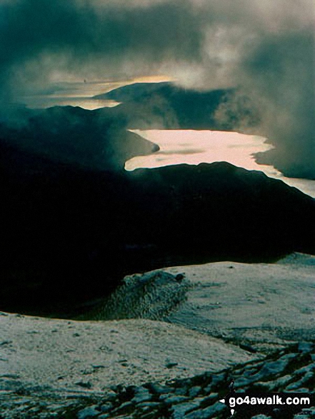
 The summit of Ben Nevis in The Glen Roy & Monadhliath MountainsScotland
Photo: John Reed
Is there a Mountain, Peak, Top or Hill missing from the above google map or list?
Let us know an we will add it to our database.
To contribute to go4awalk.com or to contact us about anything at all - see Talk To Us.
For help see Help.
go4awalk.com and go4awalk.co.uk are registered trademarks of TMDH Limited.
Copyright © 2000-2026 TMDH Limited. All rights reserved.
Copyright Terms & Conditions Privacy Statement
A - Z Walks Home Log On/Accounts Photo Gallery Walk Ideas and Collections Fell Facts Hill Skills Walking Questions and Answers Your Stories News Competitions Product Reviews/Gear Tests Walking Gear Guides Peaks and Mountains Peak Bagging Find New Walking Friends Camping GPS Waypoints for Walking Contents Walk Search Talk To Us go4awalk.com Help Free Example Walks Newsletter