23 easy-to-follow circular walk route maps of all grades in The Northern Dales Area of The Yorkshire Dales
The Northern Dales Area of The Yorkshire Dales National Park is the area:
- Within the National Park north of the A684 from Sedbergh to Leyburn via Hawes, Bainbridge and Aysgarth
- East of the A683 from Sedbergh to Brough via Kirkby Stephen
Tap/mouse over a coloured circle (1-3 easy walks, 4-6 moderate walks, 7-9 hard walks) and click to select.
You can use these checkboxes to show only the grades of walk you are interested in:-
Scroll down the list of walks below & click on each walk title (in blue) to locate it on the map above.
See this list of walks, routes & maps in:
Grade Order |
Length Order |
Time Order |
Walk Number or Start Location Order
NB. To reverse (toggle) this order, click Time Order (Shortest to Longest) again
Route Summary:
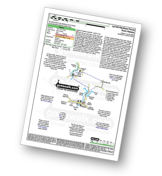
Hawes - The Pennine Way - The Herriot Way - Haylands Bridge - The River Ure - Hardraw - Hardraw Force - West House - Simonstone Hotel - Sedbusk - Hawes
Route Summary:
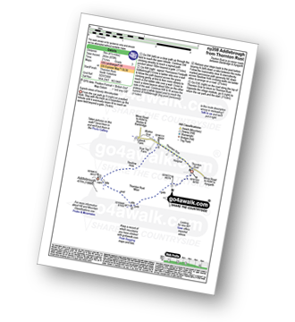
Thornton Rust - Thornton Rust Moor - Addlebrough - Swallow Hole - Worton Scar - Thornton Scar - Thornton Rust
Route Summary:
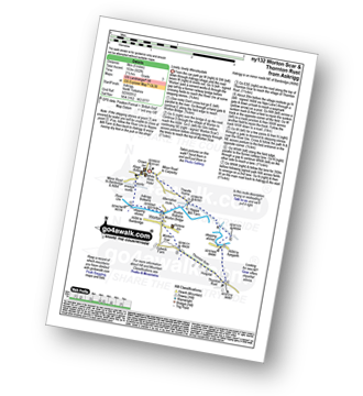
Askrigg - Askrigg Bottoms - The River Ure - Wensleysdale - Worton Bridge - Worton - Worton Scar - Thornton Scar - Thornton Rust - River Ure - Wensleydale - Nappa Mill Farm - Askrigg
Route Summary:
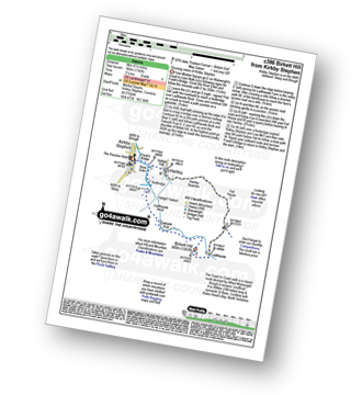
Kirkby Stephen - Market Square - Frank's Bridge - The River Eden - Ladthwaite Beck - Ewbank Scar - Birkett Hill - Ladthwaite Farm - Fell House - Hartley - Kirkby Stephen
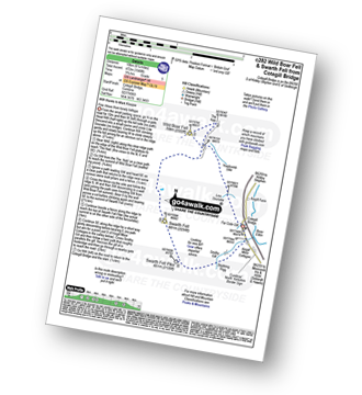
Route Summary:
Cotegill Bridge - Low Soursike - Yoadcomb Scar - Blackbed Scar - The Nab - Wild Boar Fell - High White Scar - The Band - Aisgill Head - Standard Brow - Swarth Fell - Swarth Fell Pike - Stubbing Rigg - Smithy Gill - Aisgill Moor Cottages - Cotegill Bridge
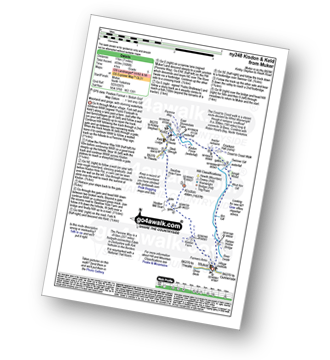
Route Summary:
Muker - Kisdon - Hooker Mill Scar - Swallow Hole Farm - Keld - The Herriot Way - The Pennine Way - The River Swale - Wainwright's Coast to Coast Walk - Kisdon Force - East Gill Force - Crackpot Hall - Swinner Gill - Arngill Wood - Swaledale - Ramps Holme Bridge - Muker
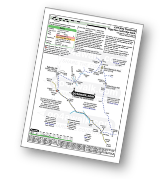
Route Summary:
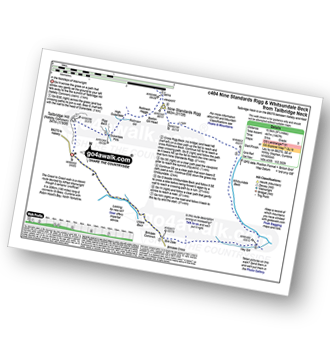
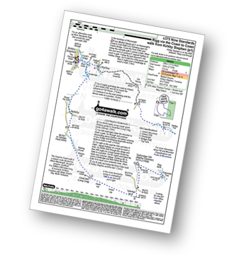
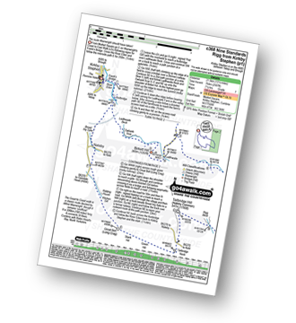
B6270 - Tailbridge Neck - Nateby Common (Tailbridge Hill) - Dukerdale Pots - Tollinson Gill - Rollinson Haggs - Boston Gill Head - Nine Standards Rigg - White Mossy Hill - Birk Dale - Birkdale Cross - Birkdale Common - Uldale Beck - Lamps Moss - Tailbridge Neck.
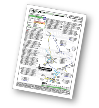
Route Summary:
Hawes - The Pennine Way - The Herriot Way - Haylands Bridge - The River Ure - Hardraw - Hardraw Force - Shaw Gill Wood - Simonstone Hotel - High Shaw - Shivery Gill - Pike Hill - Abbotside Common - Low Clint - High Pasture Gate - Shutt Lane - Sedbusk - Hawes
Route Summary:
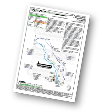
Reeth - Wainwright's Coast to Coast Walk - Arkle Beck - High Fremington - White House Farm - Fremington Edge - Fremington Edge Top - Fell End Lead Mine - Storthwaite Hall - Arkengarthdale - Castle Farm House - Cuckoo Hill - The Herriot Way - Reeth
Route Summary:
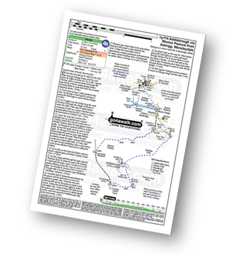
Askrigg - Askrigg Bottoms - The River Ure - Wensleysdale - Worton Bridge - Worton - Cubeck - Carpley Green Road - Worton Pasture - Carpley Green Farm - Addlebrough - Swallow Hole - Worton Scar - Worton - Wensleydale - Askrigg Bottoms - Askrigg
Route Summary:
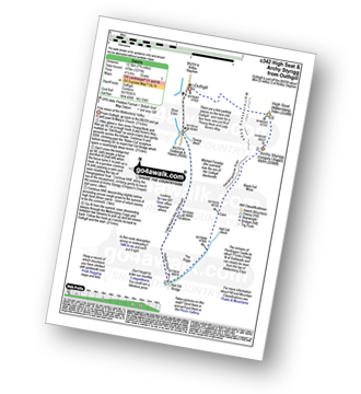
Outhgill - Thrang Beck - The Lady Anne's Way - Hell Gill Bridge - Hell Gill Beck - Hangingstone Scar - Black Fell Moss - Archy Styrigg (Gregory Chapel) - High Seat (Mallerstang) - Mallerstang Edge - Othgill.
Route Summary:
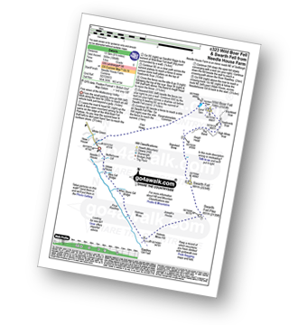
Needle House Farm - Flint Howe - Sand Tarn - Sandtarn Riggs - Wild Boar Fell - Yoadcomb Scar - High White Scar - The Band (Wild Boar Fell) - Aisgill Head - Standard Brow - Swarth Fell - Swarth Fell Pike - Holmes Moss Hill - Rawthey Gil Foot - Holme Moss - Whin Stone Gill - Blea Gill - Uldale House - Nettlehouse Gill - Needle House Farm
Route Summary:
B6270 - Tailbridge Neck - Nateby Common (Tailbridge Hill) - Dukerdale Pots - Tollinson Gill - Rollinson Haggs - Boston Gill Head - Nine Standards Rigg - Whitsundale Beck - Ney Gill - Birk Dale - Birkdale Cross - Birkdale Common - Uldale Beck - Lamps Moss - Tailbridge Ne.
Route Summary:
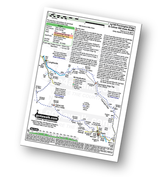
Reeth - Arkle Beck - High Fremington - White House Farm - Fremington Edge - Fremington Edge Top - Fell End Lead Mine - Storthwaite Hall - Arkengarthdale - Langthwaite - Arken Town - Calver Hill - Riddings Farm - Skelgate Lane - Wainwright's Coast to Coast Walk - The Herriot Way - Reeth
Route Summary:
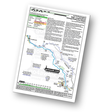
Reeth - Wainwright's Coast to Coast Walk - Arkle Beck - High Fremington - White House Farm - Fremington Edge - Fremington Edge Top - Fell End Lead Mine - Storthwaite Hall - Arkengarthdale - Langthwaite - Castle Farm House - Cuckoo Hill - The Herriot Way - Reeth
Route Summary:
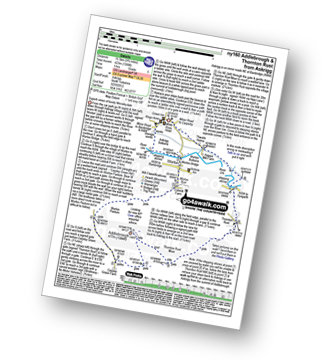
Askrigg - Askrigg Bottoms - The River Ure - Wensleysdale - Worton Bridge - Worton - Cubeck - Carpley Green Road - Worton Pasture - Carpley Green Farm - Addlebrough - Thornton Rust Moor - Thornton Rust - River Ure - Wensleydale - Nappa Mill Farm - Askrigg
Route Summary:
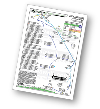
Rawthey Bridge - River Rawthey - Holmes Moss - Rawthey Gill - Rawthey Gill Quarry - Rawthey Gill Foot - Baugh Fell (Tarn Rigg Hill) - Broken Gill - Tarn Rigg Hill - Knoutberry Haw - West Baugh Fell Tarn - Raven Thorn - Rawthey Bridge
Route Summary:
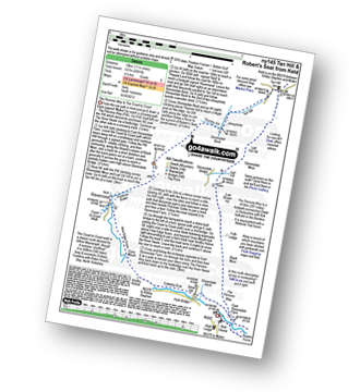
Keld - The Pennine Way - The Herriot Way - Kisdon Force - Black Moor - Stonesdale Moor - The Tan Hill Inn - Tan Gill - Stonesdale Beck - Thomas Gill - Robert's Seat - Pryclose Gutter - Ravenseat - Wainwright's Coast to Coast Walk - Whitsundale Beck - How Edge Scars - Oven Mouth - Cotterby Scar - East Stonesdale Farm - The River Swale - Keld
Route Summary:
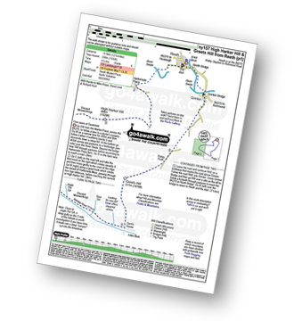
Reeth - River Swale - Harkerside Place Farm - Harker Mires - The Herriot Way - Low Harker Hill - High Harker Hill - Blue Hill - Beldow Hill - Green Hill Ends - Whitaside Moor - ashpot Gutters - Apedale Road (Track) Apedale - Dent's House - Greets Hill - How Hill - Grinton Lodge - The Herriot Way - Grinton - Arkle Beck - Reeth
Route Summary:
Kirkby Stephen - Market Square - Frank's Bridge - Hartley - Fell House - Hartley Fell - Faraday Gill - Nine Standards Rigg - White Mossy Hill - Coldbergh Scar - Dukerdale Head - Dukerdale Pots - Rigg Beck - Nateby Common (Tailbridge Hill) - B6270 - Tailbridge Neck - Green Hill - Stank Hill - Great Bell (long Crag) - Kitchen Gill - B6259 - Nateby - The River Eden - Kirkby Stephen
Route Summary:
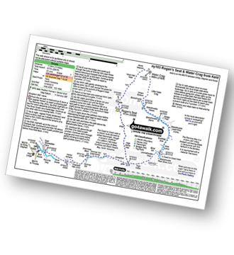
Keld - The Pennine Way - The Herriot Way - The River Swale - Swaledale - Wainwright's Coast to Coast Walk - Kisdon Force - Crackpot Hall - Swinner Gill - Hind Hole Beck - Swinner Gill Lead Mines - East Grain - High Stone Man - Rogan's Seat - Moor Hen Nest - Water Crag (Arkengarthdale) - Blakethwaite Gill - Blakethwaite Meres - Blakethwaite Dams - Gunnerside Gill - Eweleap Scar - Bling Gill - Lownathwaite Mea - High Whim - Swinner Gill - Kisdon Force - Crackpot Hall - Keld
Route Summary:
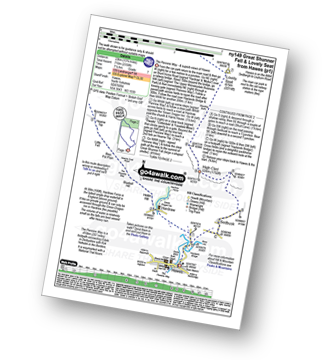
Hawes - The Pennine Way - The Herriot Way - Haylands Bridge - The River Ure - Hardraw - Hardraw Force - Hearne Coal Road - Hollin Hill - Bluebell Hill - Blea Pot Plain - Hearn Top - Bleak Haw - Hearne Head - Great Shunner Fell - Little Shunner Fell - Pickersett Mea - Fossdale Moss - Grimy Gutter - Lovely Seat - Coal Gill Hags - Abbotside Common - High Clint - High Pasture Gate - Shutt Lane - Sedbusk - Hawes
Route Summary:
Kirkby Stephen - Market Square - Frank's Bridge - The River Eden - Ladthwaite Beck - Ewbank Scar - Birkett Hill - Ladthwaite Farm - Faraday Gill - Nine Standards Rigg - White Mossy Hill - Coldbergh Scar - Dukerdale Head - Dukerdale Pots - Rigg Beck - Nateby Common (Tailbridge Hill) - Green Hill - Stank Hill - Great Bell (Long Crag) - Kitchen Gill - B6259 - Nateby - The River Eden - Kirkby Stephen
See this list of walks, routes & maps in:
Grade Order |
Length Order |
Time Order |
Walk Number or Start Location Order
NB. To reverse (toggle) this order, click Time Order (Shortest to Longest) again
To contribute to go4awalk.com or to contact us about anything at all - see Talk To Us. For help see Help.
go4awalk.com and go4awalk.co.uk are registered trademarks of TMDH Limited.
Copyright © 2000-2025 TMDH Limited. All rights reserved.
Copyright Terms & Conditions Privacy Statement
A - Z Walks Home Log On/Accounts Photo Gallery Walk Ideas and Collections Fell Facts Hill Skills Walking Questions and Answers Your Stories News Competitions Product Reviews/Gear Tests Walking Gear Guides Peaks and Mountains Peak Bagging Find New Walking Friends Camping GPS Waypoints for Walking Contents Walk Search Talk To Us go4awalk.com Help Free Example Walks Newsletter

