3 easy-to-follow circular walk route maps of all grades in The Rhinogs area of Snowdonia
The Rhinogs area of Snowdonia National Park is the area enclosed by:
- The A487 from Penrhyndeudraeth to Llan Ffestiniog to the North
- The A470 from Llan Ffestiniog to Dolgellau to the East
- The Irish Sea to the South, West & North West
Tap/mouse over a coloured circle (1-3 easy walks, 4-6 moderate walks, 7-9 hard walks) and click to select.
You can use these checkboxes to show only the grades of walk you are interested in:-
Scroll down the list of walks below & click on each walk title (in blue) to locate it on the map above.
See this list of walks, routes & maps in:
Grade Order |
Length Order |
Time Order |
Walk Number or Start Location Order
NB. To reverse (toggle) this order, click Start Order again

   |
Vital Statistics:
| Length: | 5.5 miles (8.5 km) |
| Ascent: | 2,032ft (619m) |
| Time: | 4 hrs |
| Grade: |  |
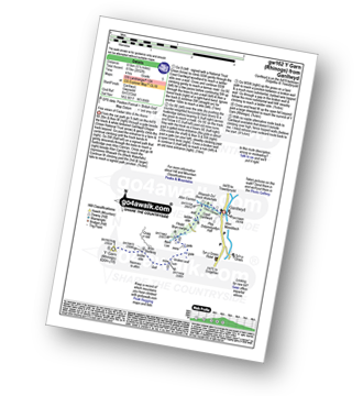
Route Summary:
Ganllwyd - Cwm Camlan - Afon Camlan - Rhaeadr Du - Black Waterfalls - Coed Ganllwyd - Ffridd Bryn-melyn - Nant Las - Bryn Bedwog - Y Garn (Rhinogs) - Bryn Bedwog - Nant Las - Ffridd Bryn-melyn - Coed Ganllwyd - Black Waterfalls - Rhaeadr Du - Afon Camlan - Cwm Camlan - Ganllwyd


|
Vital Statistics:
| Length: | 12 miles (19 km) |
| Ascent: | 4,723ft (1,439m) |
| Time: | 9.25hrs |
| Grade: |  |
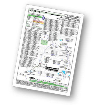
Route Summary:
Maes-y-garnedd - Nantcol - Rhinog Fawr - Bwlch Drws-Ardudwy - Rhinog Fach - Llyn Hywel - Y Llethr - Crib-y-rhiw - Diffwys - Diffwys (West Top) - Llyn Bodlyn - Cil-cychwyn - Pont Cerrig - Afon Cwmnantcol - Cwm Nantcol - Maes-y-garnedd

|
Vital Statistics:
| Length: | 6.5 miles (10.5 km) |
| Ascent: | 1,664ft (507m) |
| Time: | 4.25hrs |
| Grade: | |
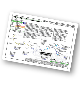
Route Summary:
Moel-y-geifr - Llyn Eiddew-bach - Llyn Du - Moel Ysgyfarnogod - Foel Penolau - Llyn Dywarchen - Llyn Eiddew-bach - Moel-y-geifr
See this list of walks, routes & maps in:
Grade Order |
Length Order |
Time Order |
Walk Number or Start Location Order
NB. To reverse (toggle) this order, click Start Order again


To contribute to go4awalk.com or to contact us about anything at all - see Talk To Us. For help see Help.
go4awalk.com and go4awalk.co.uk are registered trademarks of TMDH Limited.
Copyright © 2000-2025 TMDH Limited. All rights reserved.
Copyright Terms & Conditions Privacy Statement
A - Z Walks Home Log On/Accounts Photo Gallery Walk Ideas and Collections Fell Facts Hill Skills Walking Questions and Answers Your Stories News Competitions Product Reviews/Gear Tests Walking Gear Guides Peaks and Mountains Peak Bagging Find New Walking Friends Camping GPS Waypoints for Walking Contents Walk Search Talk To Us go4awalk.com Help Free Example Walks Newsletter