Walk tr126 A circuit of Lago di Tenno
This 2¼ mile, Grade 2 (Easy), easy-to-follow, hand-crafted walk starts at Lago Di Tenno & will take about 1¼ hrs to complete.
   |
Vital Statistics:
| Length: | 2¼mls (3.5km) |
| Ascent: | 453ft (138m) |
| Time: | 1¼hrs |
| Grade: |  |
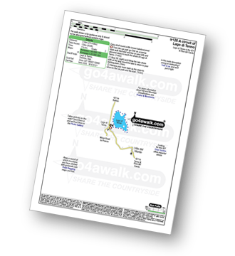
Route outline for walk tr126:
Lago Di Tenno - Lakeshore Path - Lago Di Tenno
Peaks, Summits and Tops reached on this walk:
Free-to-access Interactive Walk Planning Maps:
1:50,000 scale OS Landranger Maps (pink/magenta covers):
An Interactive Walk Planning Map for OS Landranger KO102 Lago di Garda Monte Baldo - 1:50 000 Scale is not currently available
An Interactive Walk Planning Map for OS Landranger KO691 Monte Baldo Nord - 1:25 000 Scale is not currently available
Send us your photographs and pictures from your walks and hikes
We would love to see your photographs and pictures from walk tr126 A circuit of Lago di Tenno. Send them in to us as email attachments (configured for any computer) along with your name and where the picture was taken to:
and we shall do our best to publish them.
(Guide Resolution = 300dpi. At least = 660 pixels (wide) x 440 pixels (high).)

You can also submit photos from walk tr126 A circuit of Lago di Tenno via our Facebook Page.
NB. Please indicate where each photo was taken.


To contribute to go4awalk.com or to contact us about anything at all - see Talk To Us.
For help see Help.
go4awalk.com and go4awalk.co.uk are registered trademarks of TMDH Limited.
Copyright © 2000-2026 TMDH Limited. All rights reserved.
Copyright Terms & Conditions Privacy Statement
A - Z Walks Home Log On/Accounts Photo Gallery Walk Ideas and Collections Fell Facts Hill Skills Walking Questions and Answers Your Stories News Competitions Product Reviews/Gear Tests Walking Gear Guides Peaks and Mountains Peak Bagging Find New Walking Friends Camping GPS Waypoints for Walking Contents Walk Search Talk To Us go4awalk.com Help Free Example Walks Newsletter