   |
Vital Statistics:
| Length: | 8¼mls (13km) |
| Ascent: | 1,257ft (383m) |
| Time: | 4¼hrs |
| Grade: |  |
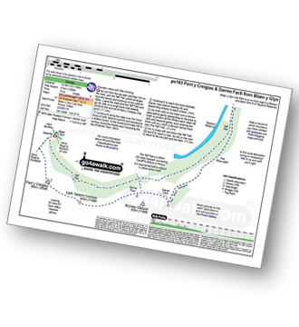
Route outline for walk po163:
Blaen y Glyn - Pant y Creigiau - Cefn Tarenni Cochion - Bryniau Gleison - Pen Bwlch Glasgwm - Pen Rhiw-calch - The Taff Trail - Blaen y Glyn
Peaks, Summits and Tops reached on this walk:
 0 Welsh Mountains |
 0 Wainwrights |
 0 Welsh Nuttalls |
 1 Welsh Dewey |
 0 Wainwright Outlying Fells |
 0 Welsh Marilyns |
 0 Bridgets |
Peak Bagging Statistics for this walk:
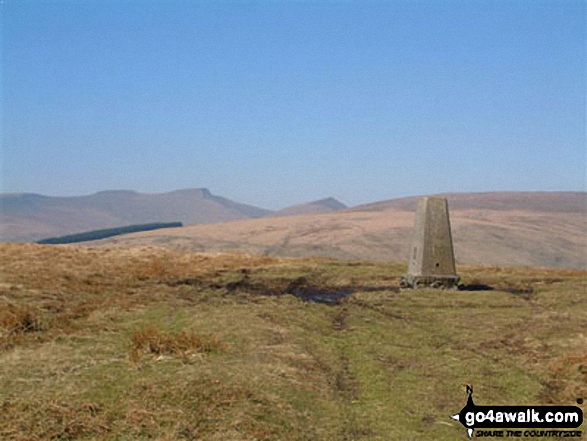
The highest point of this walk is Pant y Creigiau at 565m (1854ft). Pant y Creigiau is also known as a Welsh Dewey (59th highest in Wales, 106th in England & Wales) The summit of Pant y Creigiau is marked by an Ordnance Survey Trig Point.
National Trails & Long Paths included on this walk:
Part of this walk follows a section of The Taff Trail, an 88km (55 miles) linear footpath connecting Cardiff in Powys, Wales with Brecon in Powys, Wales. The Taff Trail is waymarked by a viaduct in a yellow arrow motif. For more walks that include a section of this trail see The Taff Trail.
You can find this walk and other nearby walks on these unique free-to-access Interactive Walk Planning Maps:
1:25,000 scale OS Explorer Maps (orange/yellow covers):
1:50,000 scale OS Landranger Maps (pink/magenta covers):
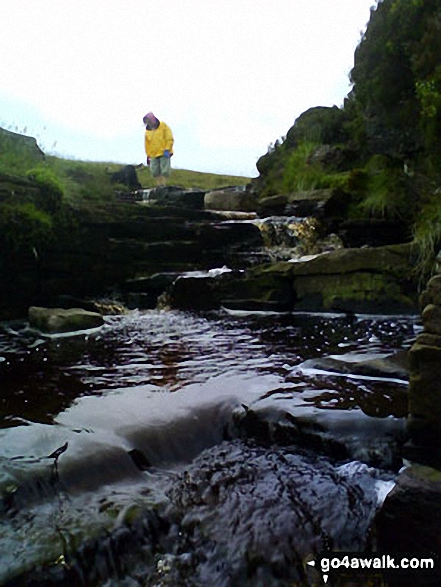
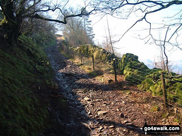
Some Photos and Pictures from Walk po163 Pant y Creigiau and Darren Fach from Blaen y Glyn
In no particular order . . .

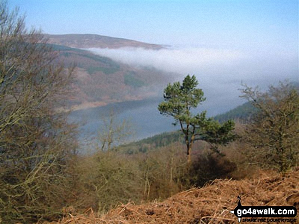
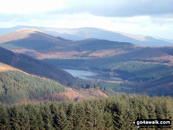
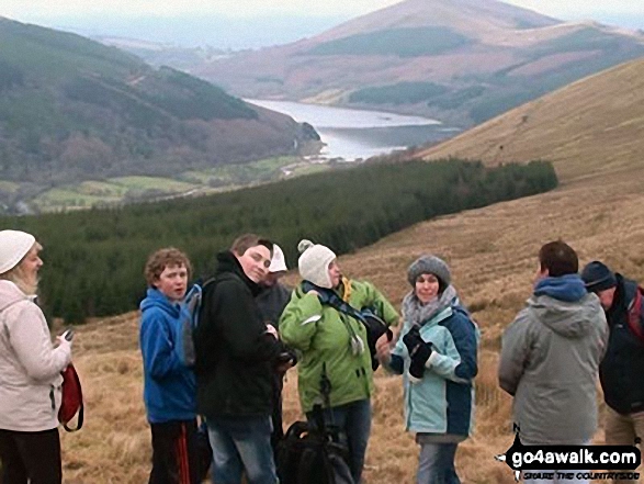
Jerusalem Baptist Church hike on Pant y Creigiau with Talybont Reservoir in the background


Send us your photographs and pictures from your walks and hikes
We would love to see your photographs and pictures from walk po163 Pant y Creigiau and Darren Fach from Blaen y Glyn. Send them in to us as email attachments (configured for any computer) along with your name and where the picture was taken to:
and we shall do our best to publish them.
(Guide Resolution = 300dpi. At least = 660 pixels (wide) x 440 pixels (high).)

You can also submit photos from walk po163 Pant y Creigiau and Darren Fach from Blaen y Glyn via our Facebook Page.
NB. Please indicate where each photo was taken.


