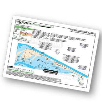
Route outline for walk nf151:
Cley Beach Car Park - The Marrams - Watch House (Halfway House) - The Hood - Blakeney Point - Lifeboat House - East Bar - Blakeney Point - The Hood - Watch House (Halfway House) - The Marrams - Cley Beach Car Park
Points of Interest/Notes on this walk:
The Watch House (a.k.a. Halfway House) was built in the 19th century as a look-out for smugglers before being used by the coastguard & the Girl Guides Association. It is now available for rent as basic holiday accommodation.
The shingle ridge begins at Weybourne & is currently some 12km (8 miles) long. Vegetated shingle like this is a very rare habitat. It is home to some rare plants such as horned sea poppy, sea pea and shrubby sea blight. Look out for sandwich terns throughout the walk.
Free-to-access Interactive Walk Planning Maps:
1:25,000 scale OS Explorer Map (orange/yellow covers):
An Interactive Walk Planning Map for OS Explorer 251 Norfolk Coast Central is not currently available
1:50,000 scale OS Landranger Map (pink/magenta covers):
An Interactive Walk Planning Map for OS Landranger 133 North East Norfolk, Cromer & Wroxham is not currently available
Send us your photographs and pictures from your walks and hikes
We would love to see your photographs and pictures from walk nf151 Blakeney Point from Cley Beach. Send them in to us as email attachments (configured for any computer) along with your name and where the picture was taken to:
and we shall do our best to publish them.
(Guide Resolution = 300dpi. At least = 660 pixels (wide) x 440 pixels (high).)
You can also submit photos from walk nf151 Blakeney Point from Cley Beach via our Facebook Page.
NB. Please indicate where each photo was taken.


