   |
Vital Statistics:
| Length: | 8¾mls (14km) |
| Ascent: | 4,050ft (1,234m) |
| Time: | 7½hrs |
| Grade: |  |

Route outline for walk h197:
Lairig Unapool - Allt Sgiathaig - Spidean Coinich (Quinag) - Lochan Ruadh - Bealach A Connaich - Sail Ghorm (Quinag) - Bealach A Connaich - Sail Gharbh (Quinag) - Lochan Bealach Connaich - Allt Sgiathaig - Lairig Unapool
Peaks, Summits and Tops reached on this walk:
 0 Munros |
 3 Corbetts |
 0 Grahams |
 0 Murdos |
 0 Donalds |
 3 Scottish Marilyns |
 0 Bridgets |
Peak Bagging Statistics for this walk:
The highest point of this walk is Sail Gharbh (Quinag) at 809m (2654ft). Sail Gharbh (Quinag) is classified as a Corbett (No. 144). and a Scottish Marilyn (346th highest in Scotland, 373rd highest in the UK). The summit of Sail Gharbh (Quinag) is marked by an Ordnance Survey Trig Point.
Completing this walk will also take you to the top of Sail Ghorm (Quinag) at 776m (2547ft). Sail Ghorm (Quinag) is classified as a Corbett (No. 196). and a Scottish Marilyn (401st highest in Scotland, 438th highest in the UK).
You will also reach the summit of Spidean Coinich (Quinag) at 764m (2507ft). Spidean Coinich (Quinag) is classified as a Corbett (No. 219). and a Scottish Marilyn (423rd highest in Scotland, 462nd highest in the UK).
Free-to-access Interactive Walk Planning Maps:
1:25,000 scale OS Explorer Map (orange/yellow covers):
An Interactive Walk Planning Map for OS Explorer 442 Assynt & Lochinver is not currently available
1:50,000 scale OS Landranger Map (pink/magenta covers):
An Interactive Walk Planning Map for OS Landranger 15 Loch Assynt, Lochinver & Kylesku is not currently available
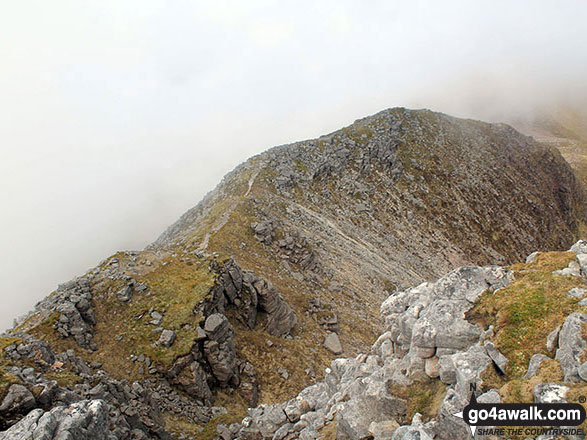
Some Photos and Pictures from Walk h197 Spidean Coinich (Quinag), Sail Ghorm (Quinag) and Sail Gharbh (Quinag) from Lairig Unapool
In no particular order . . .


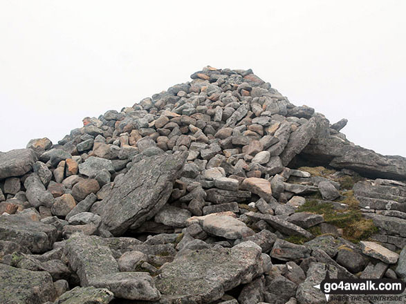
Cairn beside the path in Lairig Unapool with a mist topped Spidean Coinich (Quinag) centre left

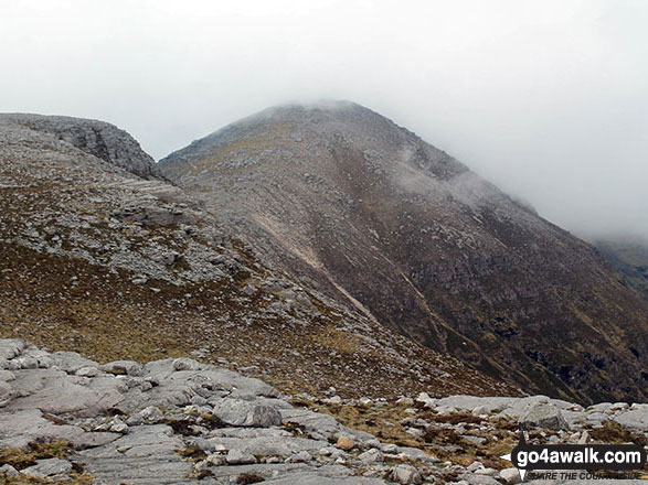
Footbridge at Lairig Unapool with Spidean Coinich (Quinag) shrouded in mist on the horizon

Lawers Burn Dam with An Stuc (Ben Lawers) (left) and Meall Garbh (Loch Tay) (centre) in the background
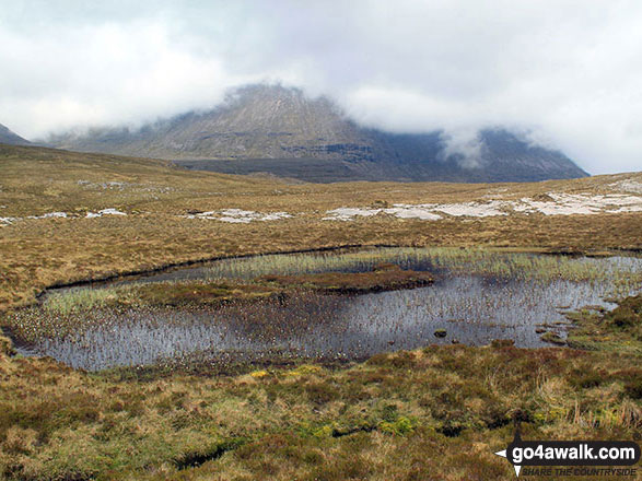
Sail Gharbh (Quinag) reflected in a pool from the lower slopes of Spidean Coinich (Quinag)


Send us your photographs and pictures from your walks and hikes
We would love to see your photographs and pictures from walk h197 Spidean Coinich (Quinag), Sail Ghorm (Quinag) and Sail Gharbh (Quinag) from Lairig Unapool. Send them in to us as email attachments (configured for any computer) along with your name and where the picture was taken to:
and we shall do our best to publish them.
(Guide Resolution = 300dpi. At least = 660 pixels (wide) x 440 pixels (high).)

You can also submit photos from walk h197 Spidean Coinich (Quinag), Sail Ghorm (Quinag) and Sail Gharbh (Quinag) from Lairig Unapool via our Facebook Page.
NB. Please indicate where each photo was taken.


