|
Vital Statistics:
| Length: | 6mls (9.5km) |
| Ascent: | 712ft (217m) |
| Time: | 3hrs |
| Grade: |  |
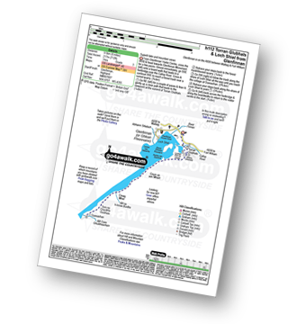
Route outline for walk h112:
Glenfinnan - Ghlean Fhionnainn - Glenfinnan Monument - Lochan Port na Creige - Torran Glubhals - Loch Shiel - Rubha Nan Gamhna - Allt na H-Innse Buidhe - Guesachan - Allt Coire Ghiubhsachain - Loch Shiel - Rubha Nan Gamhna - Glenfinnan Monument - Glenfinnan


Free-to-access Interactive Walk Planning Maps:
1:25,000 scale OS Explorer Map (orange/yellow covers):
An Interactive Walk Planning Map for OS Explorer OL51 Atholl is not currently available
1:50,000 scale OS Landranger Map (pink/magenta covers):
An Interactive Walk Planning Map for OS Landranger 40 Mallaig & Glenfinnan, Loch Shiel is not currently available
Send us your photographs and pictures from your walks and hikes
We would love to see your photographs and pictures from walk h112 Torran Glubhals and Loch Shiel from Glenfinnan. Send them in to us as email attachments (configured for any computer) along with your name and where the picture was taken to:
and we shall do our best to publish them.
(Guide Resolution = 300dpi. At least = 660 pixels (wide) x 440 pixels (high).)

You can also submit photos from walk h112 Torran Glubhals and Loch Shiel from Glenfinnan via our Facebook Page.
NB. Please indicate where each photo was taken.