   |
Vital Statistics:
| Length: | 10½mls (17km) |
| Ascent: | 3,328ft (1,014m) |
| Time: | 7¼hrs |
| Grade: |  |
Route outline for walk gw148:
Abergynolwyn - Nant Gwernol - Nant Gwernol Station - Drum House - Nant Moelfre - Moelfre - Tarrenhendre - Pant Gwyn (Tarrenhendre) - Mynydd Rhyd-galed - Foel y Geifr - Tarren y Gesail - Bryn-Eglwys Quarry - Abergynolwyn
Peaks, Summits and Tops reached on this walk:
 2 Welsh Mountains |
 0 Wainwrights |
 2 Welsh Nuttalls |
 1 Welsh Dewey |
 0 Wainwright Outlying Fells |
 2 Welsh Marilyns |
 0 Bridgets |
Peak Bagging Statistics for this walk:
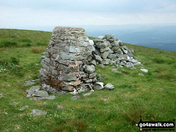
The highest point of this walk is Tarren y Gesail at 667m (2189ft). Tarren y Gesail is classified as a Welsh Mountain (Hewitt) (91st highest in Wales, 222nd highest in England & Wales)
Tarren y Gesail is also known as a Welsh Nuttall (121st highest in Wales, 295th highest in England & Wales) and a Welsh Marilyn (43rd highest in Wales, 661st highest in the UK).
The summit of Tarren y Gesail is marked by an Ordnance Survey Trig Point.
Completing this walk will also take you to the top of Tarrenhendre at 634m (2081ft). Tarrenhendre is classified as a Welsh Mountain (Hewitt) (111th highest in Wales, 268th highest in England & Wales)
Tarrenhendre is also known as a Welsh Nuttall (151st highest in Wales, 360th highest in England & Wales) and a Welsh Marilyn (48th highest in Wales, 712th highest in the UK).
You will also reach the summit of Mynydd Rhyd-galed at 502m (1647ft). Mynydd Rhyd-galed is also known as a Welsh Dewey (234th highest in Wales, 410th in England & Wales) The summit of Mynydd Rhyd-galed is unmarked..
Free-to-access Interactive Walk Planning Maps:
1:25,000 scale OS Explorer Map (orange/yellow covers):
1:50,000 scale OS Landranger Maps (pink/magenta covers):
An Interactive Walk Planning Map for OS Landranger 135 Aberystwyth & Machynlleth is not currently available
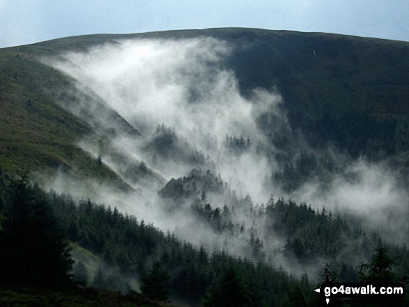
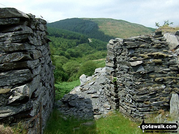
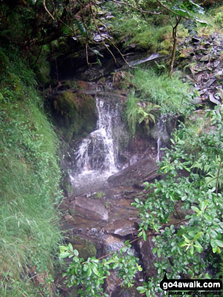
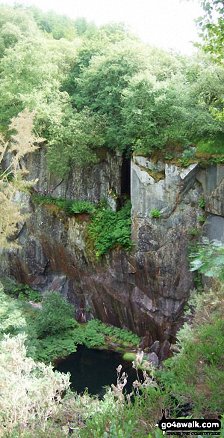
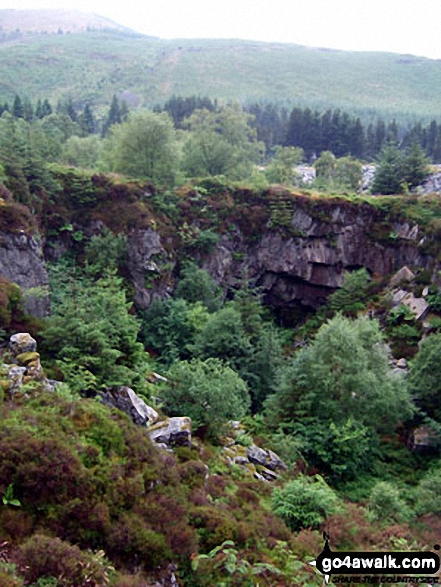
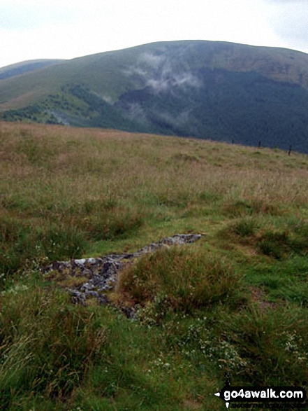
Some Photos and Pictures from Walk gw148 Tarrenhendre and Tarren y Gesail from Abergynolwyn
In no particular order . . .
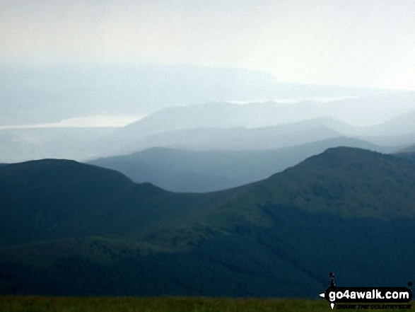
Mynydd Rhyd-galed (left) and Foel y Geifr with The Dovey Estuary beyond from Tarren y Gesail


Send us your photographs and pictures from your walks and hikes
We would love to see your photographs and pictures from walk gw148 Tarrenhendre and Tarren y Gesail from Abergynolwyn. Send them in to us as email attachments (configured for any computer) along with your name and where the picture was taken to:
and we shall do our best to publish them.
(Guide Resolution = 300dpi. At least = 660 pixels (wide) x 440 pixels (high).)

You can also submit photos from walk gw148 Tarrenhendre and Tarren y Gesail from Abergynolwyn via our Facebook Page.
NB. Please indicate where each photo was taken.


