|
Vital Statistics:
| Length: | 10mls (16km) |
| Ascent: | 2,353ft (717m) |
| Time: | 6hrs |
| Grade: |  |

Route outline for walk ce100:
Nant-y-moch Reservoir - Nant-y-moch - Y Garn (Pumlumon) - Dyll Faen - Pen y Drawsallt - Pen Pumlumon Fawr (Plynlimon) - Pumlumon Fach - Pumlumon Fach (East Top) - Pen Pumlumon Llygad-bychan - Pen Pumlumon Arwystli - Craig y March - Cwm Gwerin - Lluest y Graig - Afon Hengwm - Pantau'r Brwyn - Nant y Llyn - Maesnant - Bryn y Beddau - Nant-y-moch Reservoir


Peaks, Summits and Tops reached on this walk:
 4 Welsh Mountains |
 0 Wainwrights |
 5 Welsh Nuttalls |
 0 Welsh Deweys |
 0 Wainwright Outlying Fells |
 1 Welsh Marilyn |
 0 Bridgets |
Peak Bagging Statistics for this walk:
The highest point of this walk is Pen Pumlumon Fawr (Plynlimon) at 752m (2468ft). Pen Pumlumon Fawr (Plynlimon) is classified as a Welsh Mountain (Hewitt) (49th highest in Wales, 118th highest in England & Wales)
Pen Pumlumon Fawr (Plynlimon) is also known as a Welsh Nuttall (61st highest in Wales, 145th highest in England & Wales) and a Welsh Marilyn (22nd highest in Wales, 479th highest in the UK).
The summit of Pen Pumlumon Fawr (Plynlimon) is marked by an Ordnance Survey Trig Point. Pen Pumlumon Fawr (Plynlimon) is the highest point in the county of Ceredigion.
Completing this walk will also take you to the top of Pen Pumlumon Arwystli at 741m (2431ft). Pen Pumlumon Arwystli is classified as a Welsh Mountain (Hewitt) (54th highest in Wales, 127th highest in England & Wales)
Pen Pumlumon Arwystli is also known as a Welsh Nuttall (66th highest in Wales, 156th highest in England & Wales).
You will also reach the summit of Pen Pumlumon Llygad-bychan at 727m (2386ft). Pen Pumlumon Llygad-bychan is classified as a Welsh Mountain (Hewitt) (58th highest in Wales, 140th highest in England & Wales)
Pen Pumlumon Llygad-bychan is also known as a Welsh Nuttall (72nd highest in Wales, 174th highest in England & Wales).
Along the way you will also bag:
- Y Garn (Pumlumon) at 684m (2245ft). Y Garn (Pumlumon) is classified as a Welsh Mountain (Hewitt) (78th Wales, 191st Eng & Wal) and a Welsh Nuttall (102nd highest in Wales, 250th highest in England & Wales). Y Garn (Pumlumon) means 'The Cairn' in Welsh and is pronounced 'uh-gan'.
- Pumlumon Fach at 664m (2179ft). Pumlumon Fach is known as a Welsh Nuttall (123rd highest in Wales, 299th highest in England & Wales).
Free-to-access Interactive Walk Planning Maps:
1:25,000 scale OS Explorer Maps (orange/yellow covers):
An Interactive Walk Planning Map for OS Explorer 200 Llandrindod Wells & Elan Valley is not currently available
An Interactive Walk Planning Map for OS Explorer 201 Knighton Presteigne is not currently available
1:50,000 scale OS Landranger Map (pink/magenta covers):
An Interactive Walk Planning Map for OS Landranger 135 Aberystwyth & Machynlleth is not currently available
Some Photos and Pictures from Walk ce100 Y Garn (Pumlumon), Pen Pumlumon Fawr (Plynlimon), Pen Pumlumon Llygad-bychan and Pen Pumlumon Arwystli from Nant-y-moch Reservoir
In no particular order . . .


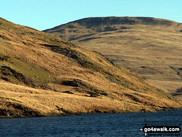
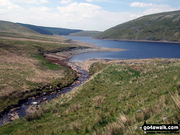
Nant-y-moch Reservoir, Drosgol (Pumlumon) and Pen Pumlumon Fawr (Plynlimon) from Y Garn (Pumlumon)


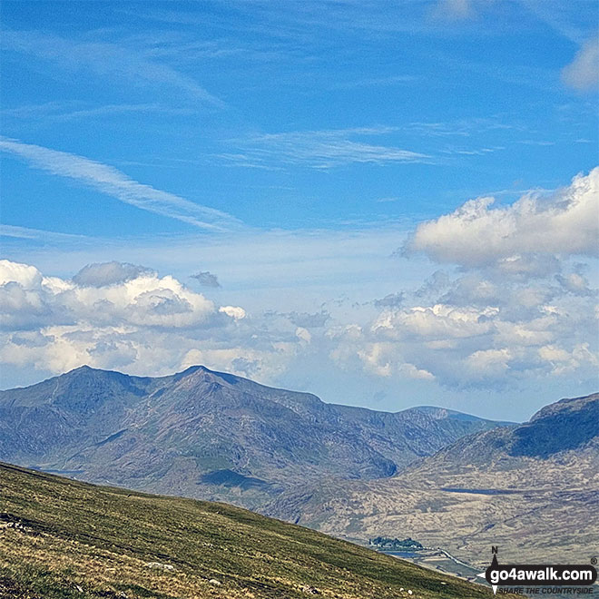
Snowdon (Yr Wyddfa) (left), Garnedd Ugain (Crib y Ddysgl) & Crib Goch (centre left) and Lechlog (Snowdon) (right) from Llyn Caseg Fraith

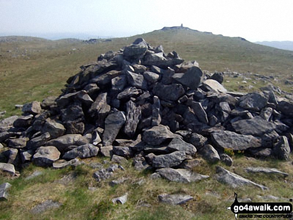
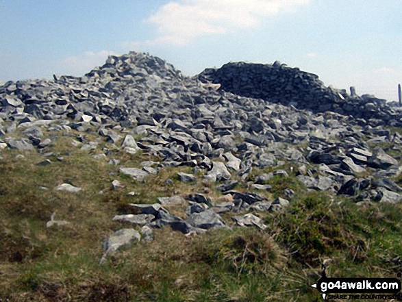
Pen Pumlumon Fawr (Plynlimon) summit from the cairn on the North end of the ridge

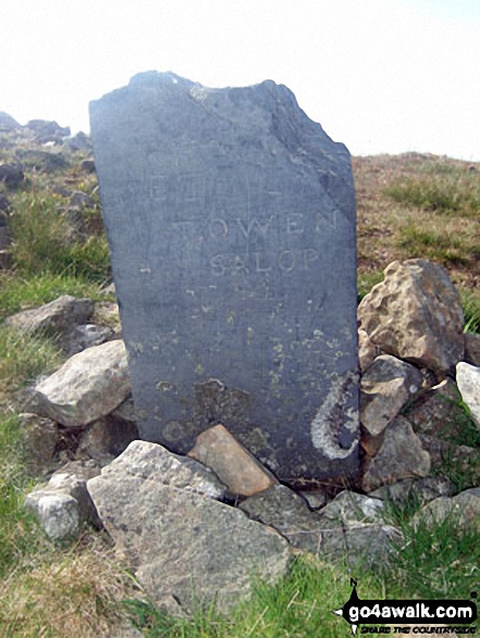

Pen Pumlumon Fawr (Plynlimon) summit trig point with Y Garn (Pumlumon) in the distance

360° Panorama from the summit of Pen Pumlumon Fawr (Plynlimon) featuring: Y Garn (Pumlumon), Nant-y-moch Reservoir, Drosgol (Pumlumon), Pumlumon Fach, Pen Pumlumon Arwystli and Pen Pumlumon Llygad-bychan

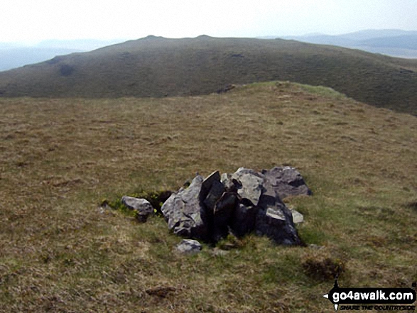


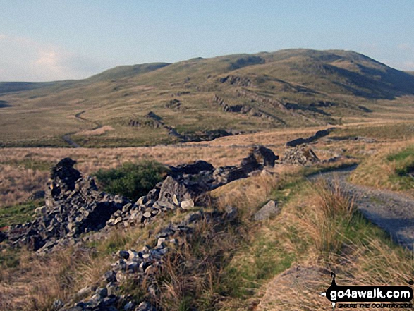
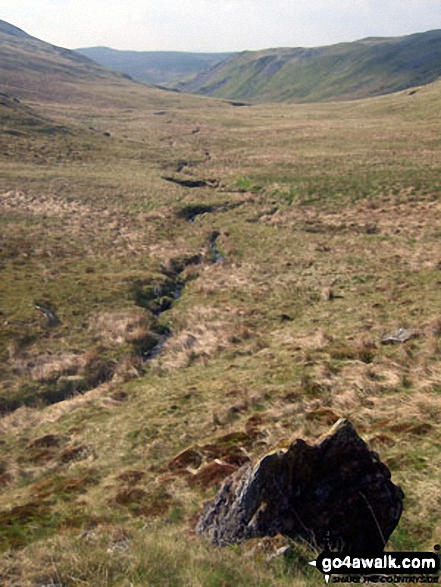
Following Nant-y-moch at the start of the walk up Pen Pumlumon Fawr (Plynlimon)
Send us your photographs and pictures from your walks and hikes
We would love to see your photographs and pictures from walk ce100 Y Garn (Pumlumon), Pen Pumlumon Fawr (Plynlimon), Pen Pumlumon Llygad-bychan and Pen Pumlumon Arwystli from Nant-y-moch Reservoir. Send them in to us as email attachments (configured for any computer) along with your name and where the picture was taken to:
and we shall do our best to publish them.
(Guide Resolution = 300dpi. At least = 660 pixels (wide) x 440 pixels (high).)

You can also submit photos from walk ce100 Y Garn (Pumlumon), Pen Pumlumon Fawr (Plynlimon), Pen Pumlumon Llygad-bychan and Pen Pumlumon Arwystli from Nant-y-moch Reservoir via our Facebook Page.
NB. Please indicate where each photo was taken.