Walk Uldale Head (Howgills) and Carlingill Spout from Carlingill Bridge
The wild Howgills
This 4¼ mile, Grade 4 (Moderate), easy-to-follow, hand-crafted walk, complete with GPS Waypoints, starts at Carlingill Bridge in the Yorkshire Dales & will take you about 3½ hrs to complete.
   |
Detailed walk route map PDF | |
Vital Statistics: | ||
| Walk No.: | c437 | |
| Length: | 4¼ miles (6.5km) | |
| Ascent: | 1952 ft (595m) | |
| Time: | 3½ hours | |
| Grade: |  | |
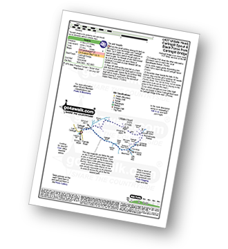
Route outline for this walk:
Carlingill Bridge - Carlingill Beck - Uldale Head (Howgills) - Blackthwaite Bottom - Carlingill Beck - Carlin Gill - Carlingill Spout - Screes of Black Force - Little Ulgill Beck - Carlingill Bridge - The Howgill Fells.
Peaks, Summits and Tops reached on this walk:
 0 English Mountains |
 0 Wainwrights |
 0 English Nuttalls |
 1 English Dewey |
 0 Wainwright Outlying Fells |
 0 Marilyns |
 0 Bridgets |
Peak Bagging Statistics for this walk:
The highest point of this walk is Uldale Head (Howgills) at 532m (1746ft). Uldale Head (Howgills) is also known as an English Dewey (108th highest in England, 254th in England & Wales)
You can find this walk and other nearby walks on these unique Interactive Walk Planning Maps:
(worth a look if you're new to go4awalk.com & have never seen one of these before.)
1:25,000 scale OS Explorer Map (orange/yellow covers):
1:50,000 scale OS Landranger Maps (pink/magenta covers):
Some Photos and Pictures from Walk Uldale Head (Howgills) and Carlingill Spout from Carlingill Bridge
In no particular order . . .
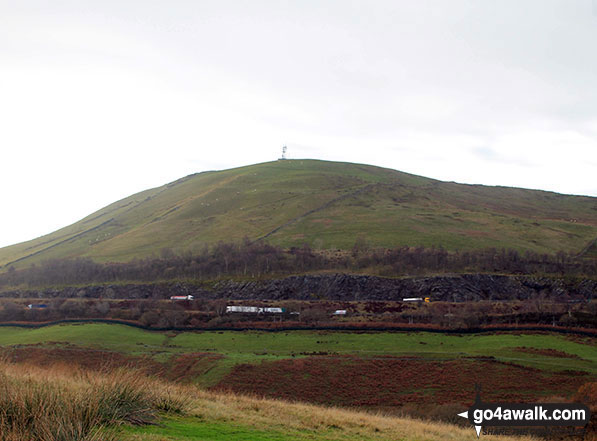


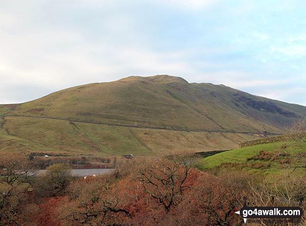


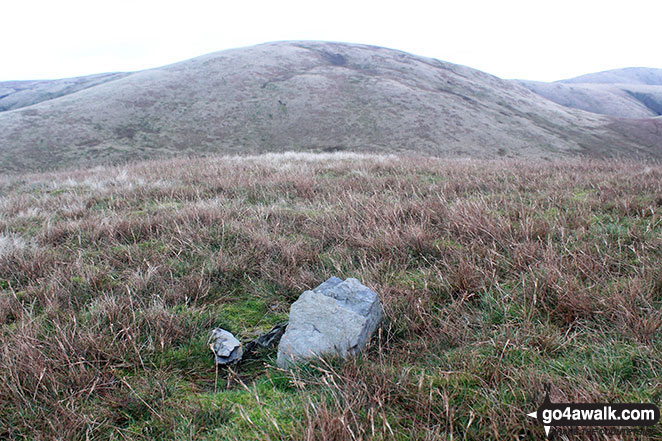
The M6 Motorway, Dillicar Common, Grayrigg Forest and Blease Fell from the upper slopes of Uldale Head



. . . load all 16 pictures & photos from this walk
Send us your photographs and pictures from your walks and hikes
Send them in to us as email attachments (configured for any computer) along with your name/username and where the picture was taken to:
and we shall do our best to publish them.
(Guide Resolution = 300dpi. At least = 660 pixels (wide) x 440 pixels (high).)

You can also submit photos via our Facebook Page.
NB. Please indicate where each photo was taken so we can match it to a walk route.