|
Vital Statistics:
| Length: | 6mls (9.5km) |
| Ascent: | 2,504ft (763m) |
| Time: | 4¾hrs |
| Grade: |  |
Route outline for walk c328:
Greendale Farm - Gill Farm - Gill Beck - Buckbarrow - Glade How - Cat Bields - Nether Wasdale Common - Seatallan - Pots of Ashness - Windscale Hows - Middle Fell (Wasdale) - Greendale Gill - Greendale Farm
Peaks, Summits and Tops reached on this walk:
 1 English Mountain |
 3 Wainwrights |
 1 English Nuttall |
 1 English Dewey |
 0 Wainwright Outlying Fells |
 1 Marilyn |
 0 Bridgets |
Peak Bagging Statistics for this walk:
The highest point of this walk is Seatallan at 692m (2271ft). Seatallan is classified as an English Mountain (Hewitt) (109th highest in England, 180th highest in England & Wales) and a Wainwright (No. 94).
Seatallan is also known as an English Nuttall (143rd highest in England, 234th highest in England & Wales) and an English Marilyn (34th highest in England, 611th highest in the UK).
The summit of Seatallan is marked by an Ordnance Survey Trig Point.
Completing this walk will also take you to the top of Middle Fell (Wasdale) at 582m (1910ft). Middle Fell (Wasdale) is classified as an Wainwright (No. 135).
Middle Fell (Wasdale) is also known as an English Dewey (27th highest in England, 65th in England & Wales)
You will also reach the summit of Buckbarrow at 405m (1329ft). Buckbarrow is classified as an Wainwright (No. 200).
You can find this walk and other nearby walks on these unique free-to-access Interactive Walk Planning Maps:
1:25,000 scale OS Explorer Map (orange/yellow covers):
1:50,000 scale OS Landranger Map (pink/magenta covers):
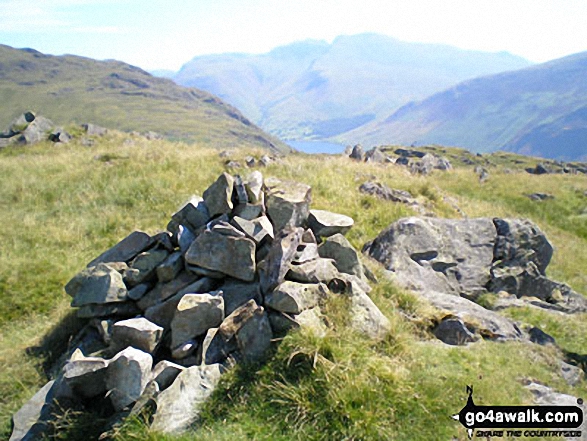
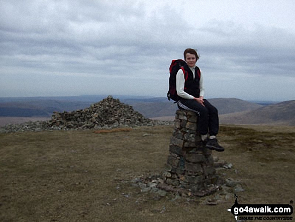
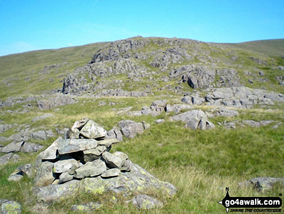
Some Photos and Pictures from Walk c328 The Greendale Horseshoe
In no particular order . . .
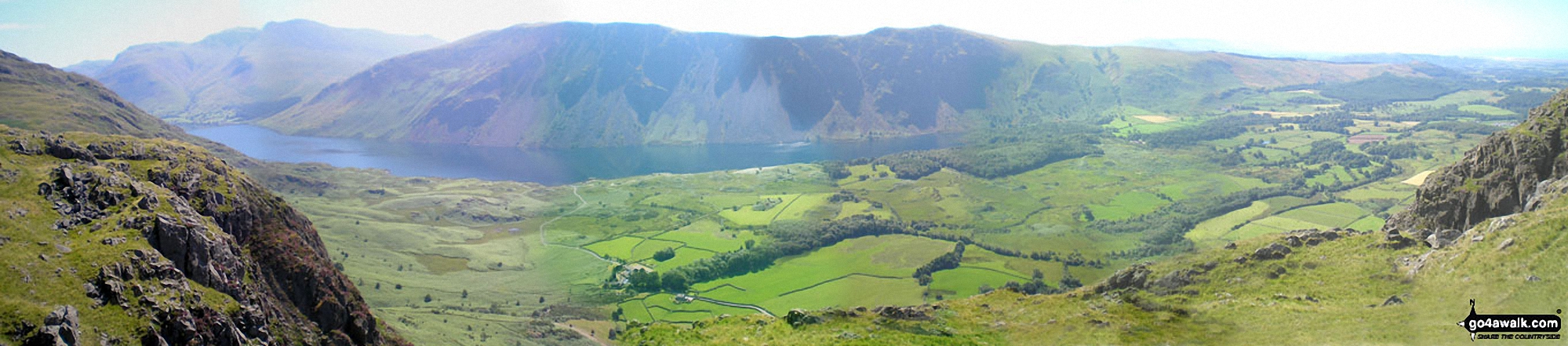
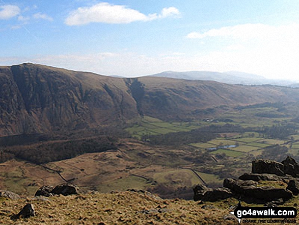
The Scafell Massif, Illgill Head, Whin Rigg and the Wast Water Screes from Buckbarrow
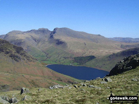
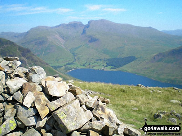
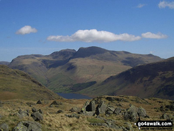
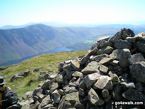
Wast Water and The Scafell Massif from the summit of Middle Fell (Wasdale)
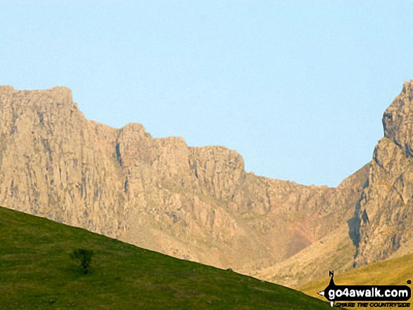
Illgill Head (left) and Whin Rigg (right) above the Wast Water screes from Buckbarrow
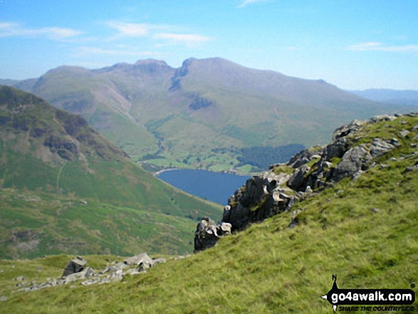
Lingmell, Scafell Pike, Mickledore and Sca Fell above Wast Water from near Middle Fell (Wasdale)
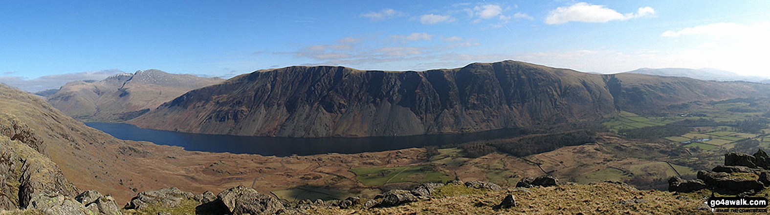
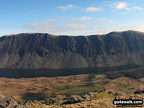
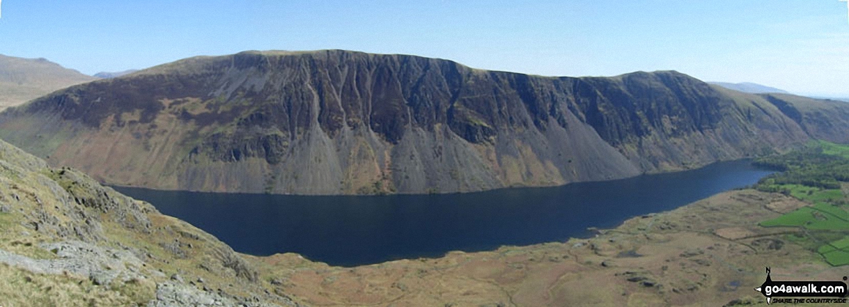
Wast Water with the Scafel Massive (far left- featuring Ling Mell, Great End, Broad Crag, Ill Crag, Scafell Pike, Symonds Knott and Sca Fell) and Illgill Head (centre) and Whin Rigg (centre right) above the Wast Water screes from Buckbarrow
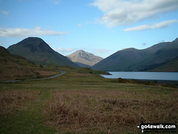
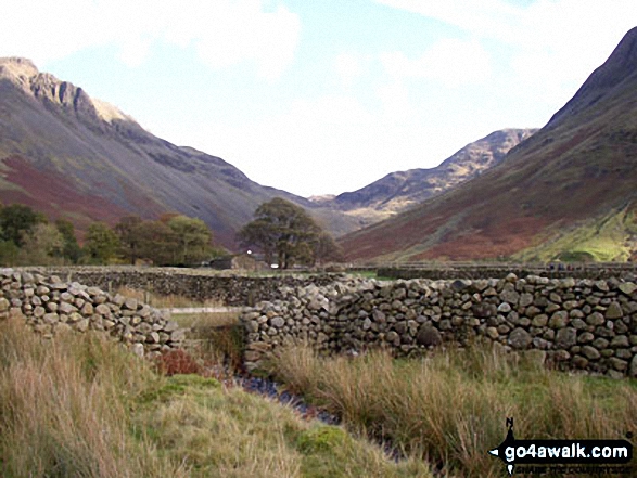
Yewbarrow (left) Great Gable (centre) and Lingmell (right) from across Wast Water in Wasdale
. . . load all 32 walk photos from Walk c328 The Greendale Horseshoe
Send us your photographs and pictures from your walks and hikes
We would love to see your photographs and pictures from walk c328 The Greendale Horseshoe. Send them in to us as email attachments (configured for any computer) along with your name and where the picture was taken to:
and we shall do our best to publish them.
(Guide Resolution = 300dpi. At least = 660 pixels (wide) x 440 pixels (high).)

You can also submit photos from walk c328 The Greendale Horseshoe via our Facebook Page.
NB. Please indicate where each photo was taken.