   |
Vital Statistics:
| Length: | 7¼mls (11.5km) |
| Ascent: | 3,013ft (918m) |
| Time: | 5¾hrs |
| Grade: |  |
Route outline for walk c299:
Braithwaite - Barrow (Newlands) - Stile End - Low Moss - Outerside - High Moss - Scar Crags - Causey Pike - Sleet Hause - Rowling End - Stoneycroft - Braithwaite
Peaks, Summits and Tops reached on this walk:
 2 English Mountains |
 4 Wainwrights |
 2 English Nuttalls |
 1 English Dewey |
 0 Wainwright Outlying Fells |
 0 Marilyns |
 0 Bridgets |
Peak Bagging Statistics for this walk:
The highest point of this walk is Scar Crags at 672m (2205ft). Scar Crags is classified as an English Mountain (Hewitt) (127th highest in England, 212th highest in England & Wales) and a Wainwright (No. 101).
Scar Crags is also known as an English Nuttall (169th highest in England, 283rd highest in England & Wales).
Completing this walk will also take you to the top of Causey Pike at 637m (2091ft). Causey Pike is classified as an English Mountain (Hewitt) (154th highest in England, 263rd highest in England & Wales) and a Wainwright (No. 120).
Causey Pike is also known as an English Nuttall (203rd highest in England, 352nd highest in England & Wales).
You will also reach the summit of Outerside at 568m (1864ft). Outerside is classified as an Wainwright (No. 142).
Outerside is also known as an English Dewey (44th highest in England, 96th in England & Wales)
Along the way you will also bag:
- Barrow (Newlands) at 455m (1493ft). Barrow (Newlands) is classified as a Wainwright (No. 187)
You can find this walk and other nearby walks on these unique free-to-access Interactive Walk Planning Maps:
1:25,000 scale OS Explorer Map (orange/yellow covers):
1:50,000 scale OS Landranger Maps (pink/magenta covers):
Some Photos and Pictures from Walk c299 Causey Pike from Braithwaite
In no particular order . . .
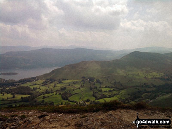
Cat Bells (Catbells), Derwent Water with Bleaberry Fell & High Seat (Ashness Fell) from Scar Crags
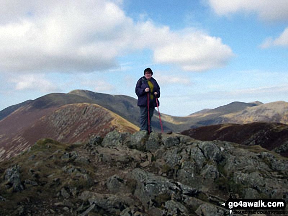
On top of Causey Pike with Scar Crags, Sail (Derwent Fells) and Crag Hill (Eel Crag) behind

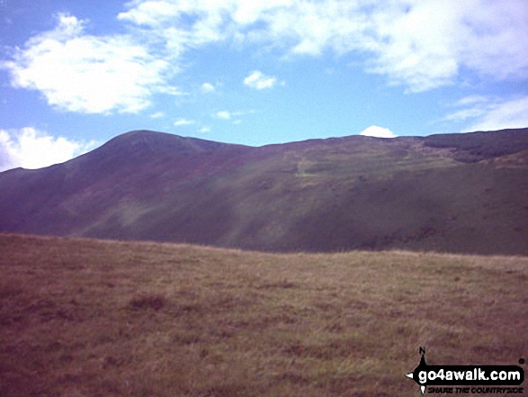
Looking back to the zig zags from Scar Crags at the route down from Sail (Derwent Fells)

Swinside, Keswick, Latrigg and Blencathra (or Saddleback) from Rowling End
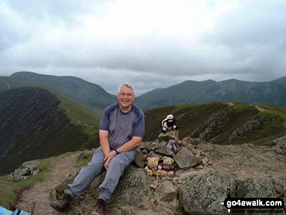

Scar Crags with Sail (Derwent Fells) and Crag Hill (Eel Crag) beyond from Causey Pike


*Looking back along Scar Crags to Sail (Derwent Fells) and Crag Hill (Eel Crag) from Causey Pike
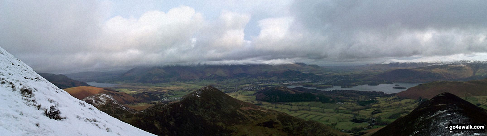
Barrow and Rowling End, with Keswick and Derwent Water beyond and Skiddaw and Blecathra (or Saddleback) in the background from Causey Pike
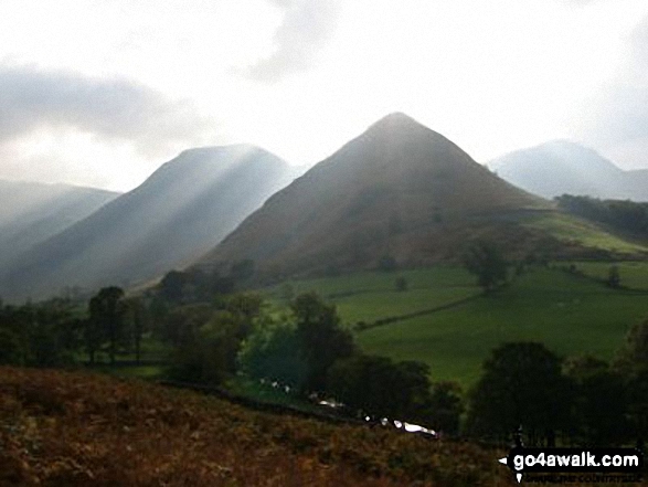

Scar Crags (left), Sail and Crag Hill (Eel Crag) from the summit cairn on Outerside


Send us your photographs and pictures from your walks and hikes
We would love to see your photographs and pictures from walk c299 Causey Pike from Braithwaite. Send them in to us as email attachments (configured for any computer) along with your name and where the picture was taken to:
and we shall do our best to publish them.
(Guide Resolution = 300dpi. At least = 660 pixels (wide) x 440 pixels (high).)

You can also submit photos from walk c299 Causey Pike from Braithwaite via our Facebook Page.
NB. Please indicate where each photo was taken.


