|
Vital Statistics:
| Length: | 5mls (8km) |
| Ascent: | 2,002ft (610m) |
| Time: | 4hrs |
| Grade: |  |
Route outline for walk c288:
Eskdale - Jubilee Bridge - Eskdale - Dobknott Gill - Spothow Gill - Harter Fell (Eskdale) - Dunnerdale Forest - Hardknott Pass - Hardknott Castle (Roman Fort) - Jubilee Bridge - Eskdale
Peaks, Summits and Tops reached on this walk:
 1 English Mountain |
 1 Wainwright |
 1 English Nuttall |
 0 English Deweys |
 0 Wainwright Outlying Fells |
 1 Marilyn |
 0 Bridgets |
Peak Bagging Statistics for this walk:
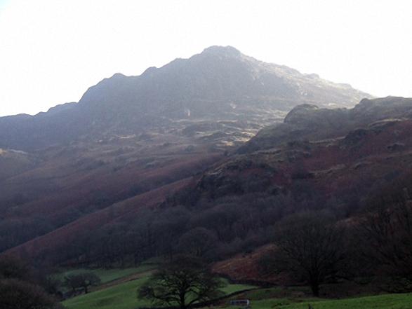
The highest point of this walk is Harter Fell (Eskdale) at 654m (2146ft). Harter Fell (Eskdale) is classified as an English Mountain (Hewitt) (140th highest in England, 242nd highest in England & Wales) and a Wainwright (No. 112).
Harter Fell (Eskdale) is also known as an English Nuttall (188th highest in England, 325th highest in England & Wales) and an English Marilyn (45th highest in England, 687th highest in the UK).
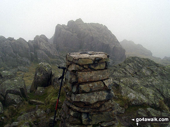
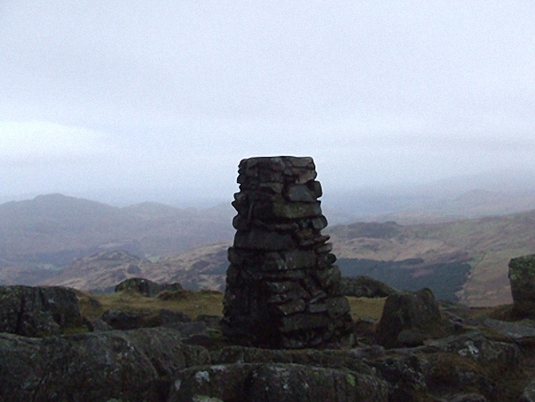
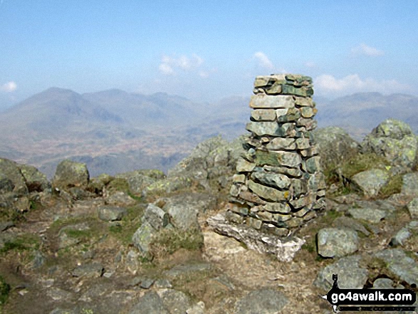
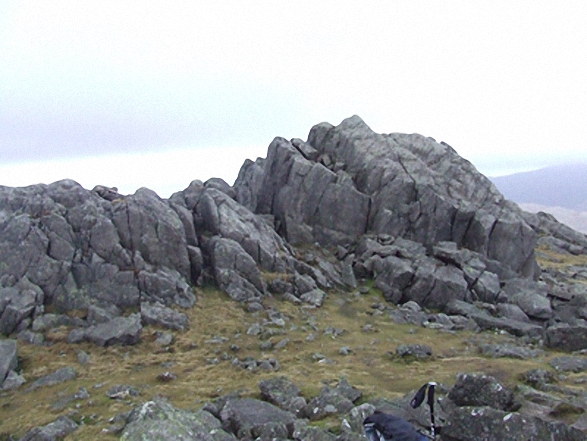
The summit of Harter Fell (Eskdale) is marked by an Ordnance Survey Trig Point.
You can find this walk and other nearby walks on these unique free-to-access Interactive Walk Planning Maps:
1:25,000 scale OS Explorer Map (orange/yellow covers):
1:50,000 scale OS Landranger Maps (pink/magenta covers):
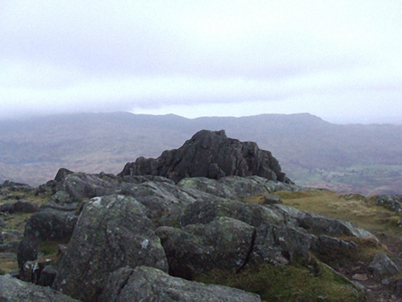
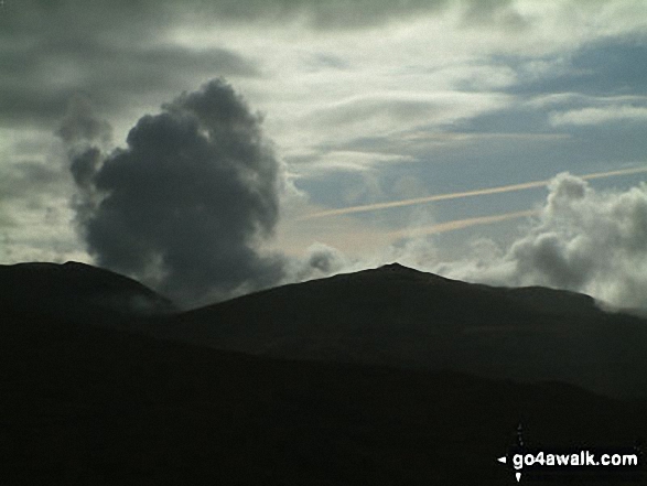
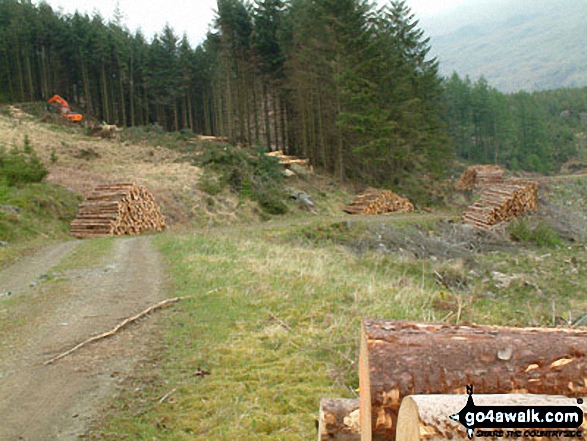
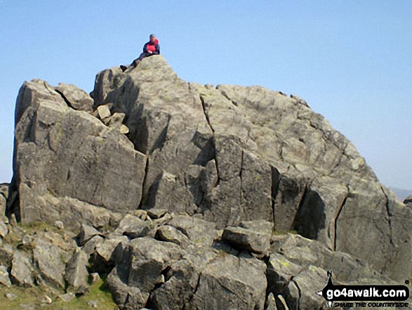
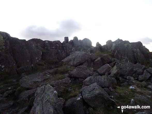
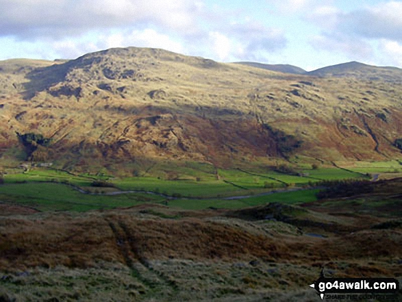
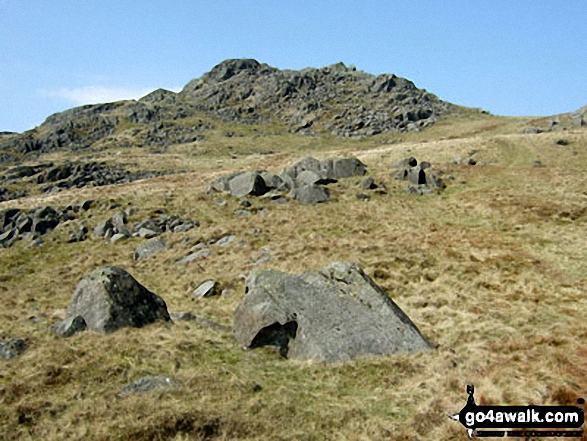
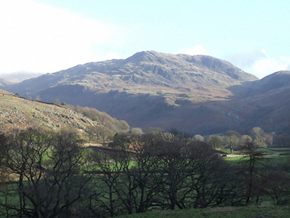
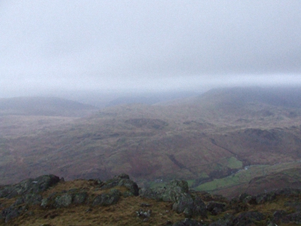
Some Photos and Pictures from Walk c288 Harter Fell (Eskdale) from Jubilee Bridge, Eskdale
In no particular order . . .
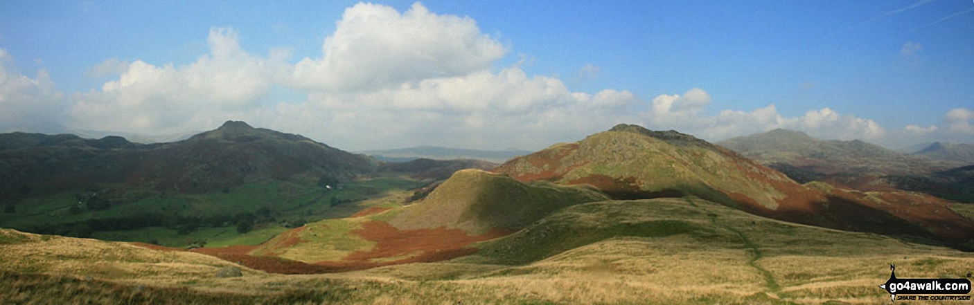
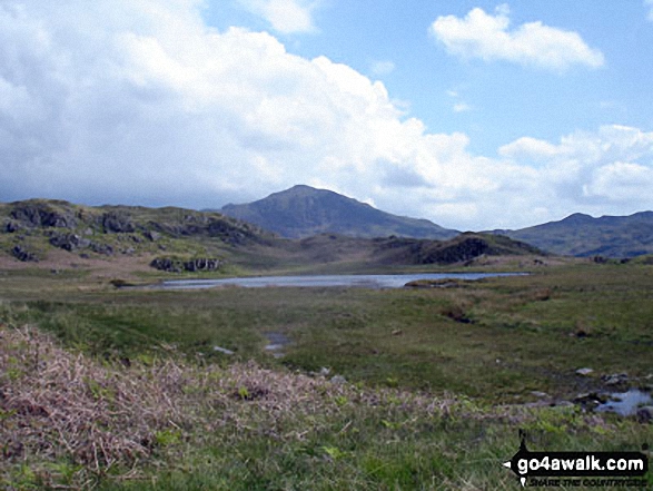
The Dunnerdale Horseshoe - featuring Stickle Pike (Dunnerdale Fells), Great Stickle, The Knott (Dunnerdale Fells) and Raven's Crag
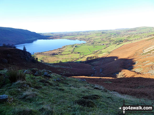
Ennerdale Water from halfway up Rake Beck on the lower SW slopes of Great Borne
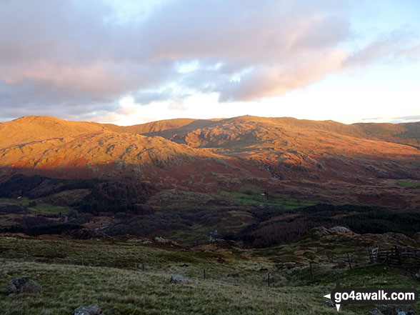
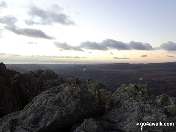
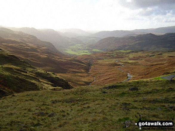
Sun setting in the Duddon Valley and the Seathwaite Fells (Dow Crag, Brown Pike & Walna Scar) from the path up Harter Fell (Eskdale)
. . . load all 29 walk photos from Walk c288 Harter Fell (Eskdale) from Jubilee Bridge, Eskdale
Send us your photographs and pictures from your walks and hikes
We would love to see your photographs and pictures from walk c288 Harter Fell (Eskdale) from Jubilee Bridge, Eskdale. Send them in to us as email attachments (configured for any computer) along with your name and where the picture was taken to:
and we shall do our best to publish them.
(Guide Resolution = 300dpi. At least = 660 pixels (wide) x 440 pixels (high).)

You can also submit photos from walk c288 Harter Fell (Eskdale) from Jubilee Bridge, Eskdale via our Facebook Page.
NB. Please indicate where each photo was taken.