The 30 nearest, easy-to-follow, circular walks, routes & maps to UK Postcode DG9

The thirty nearest, easy-to-follow, circular walks, routes & maps to UK Postcode DG9 in Walk Grade Order

Walk 1 Walking Bootprint Icon

Walk dg110 Dunskey Castle from Portpatrick

Fabulous coastal views and an ancient castle

Download GPS Waypoint Data for walk dg110
Download GPX Waypoint Data for walk dg110
Download Map and Route Details for walk dg110

Vital Statistics:

Length:6 miles (9.5 km)
Ascent:1,011ft (308m)
Time:3.25hrs
Grade:Grade 4 Walking Moderate
Walk 2 Walking Bootprint Icon

Walk dg102 White Loch of Myrton from Back Bay

Fairly level walk to an ancient stone circle

Download GPS Waypoint Data for walk dg102
Download GPX Waypoint Data for walk dg102
Download Map and Route Details for walk dg102

Vital Statistics:

Length:8.75 miles (14 km)
Ascent:834ft (254m)
Time:4 hrs
Grade:Grade 4 Walking Moderate
Walk 3 Walking Bootprint Icon

Walk dg121 Rhinns of Kells from Galloway Forest Park

A classic

Download GPS Waypoint Data for walk dg121
Download GPX Waypoint Data for walk dg121
Download Map and Route Details for walk dg121

Vital Statistics:

Length:13 miles (22 km)
Ascent:3,823ft (1,165m)
Time:8 hrs
Grade:Grade 8 Walking Hard
Walk 4 Walking Bootprint Icon

Walk dg126 Cairnsmore of Carsphairn from Craigengillan

Fine views though the ground can be rough

Download GPS Waypoint Data for walk dg126
Download GPX Waypoint Data for walk dg126
Download Map and Route Details for walk dg126

Vital Statistics:

Length:9.75 miles (15.5 km)
Ascent:2,881ft (878m)
Time:6½ hrs
Grade:Grade 7 Walking Hard
Walk 5 Walking Bootprint Icon

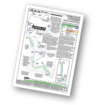
Walk dg108 Moorbrock Hill and Windy Standard from Craigengillan

Fine views though the ground can be rough

Download GPS Waypoint Data for walk dg108
Download GPX Waypoint Data for walk dg108
Download Map and Route Details for walk dg108

Vital Statistics:

Length:13.75 miles (22 km)
Ascent:3,206ft (977m)
Time:8.25hrs
Grade:Grade 8 Walking Hard
Walk 6 Walking Bootprint Icon

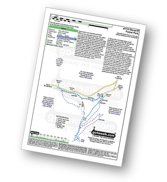
Walk at114 Glenariff Forest Park

Forest paths and cascading waterfalls

Download Map and Route Details for walk at114

Vital Statistics:

Length:6.75 miles (11 km)
Ascent:722ft (220m)
Time:3.25hrs
Grade:Grade 3 Walking Easy
Walk 7 Walking Bootprint Icon

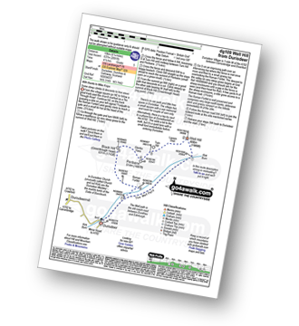
Walk dg109 Well Hill from Durisdeer

Some steep ascents & descents to fine views

Download GPS Waypoint Data for walk dg109
Download GPX Waypoint Data for walk dg109
Download Map and Route Details for walk dg109

Vital Statistics:

Length:6.25 miles (10 km)
Ascent:2,091ft (637m)
Time:4½ hrs
Grade:Grade 5 Walking Moderate
Walk 8 Walking Bootprint Icon

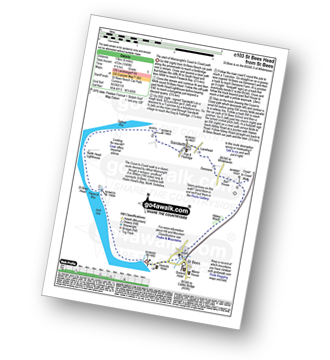
Walk c103 St Bees Head Lighthouse andd Sandwith from St Bees

The start of Wainwright's Coast to Coast path

Download GPS Waypoint Data for walk c103
Download GPX Waypoint Data for walk c103
Download Map and Route Details for walk c103

Vital Statistics:

Length:8.25 miles (13 km)
Ascent:1,549ft (472m)
Time:4½ hrs
Grade:Grade 5 Walking Moderate
Walk 9 Walking Bootprint Icon

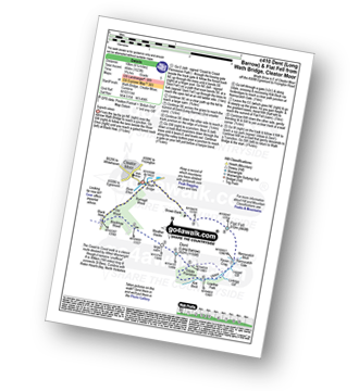
Walk c410 Dent (Long Barrow) and Flat Fell from Wath Bridge, Cleator Moor

Superb views

Download GPS Waypoint Data for walk c410
Download GPX Waypoint Data for walk c410
Download Map and Route Details for walk c410

Vital Statistics:

Length:6.25 miles (10 km)
Ascent:1,523ft (464m)
Time:3.75hrs
Grade:Grade 5 Walking Moderate
Walk 10 Walking Bootprint Icon

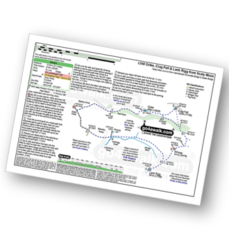
Walk c340 Grike, Crag Fell and Lank Rigg from Scaly Moss

Less visited fells with stunning views

Download GPS Waypoint Data for walk c340
Download GPX Waypoint Data for walk c340
Download Map and Route Details for walk c340

Vital Statistics:

Length:7.75 miles (12.5 km)
Ascent:2,028ft (618m)
Time:5½ hrs
Grade:Grade 6 Walking Moderate
Walk 11 Walking Bootprint Icon

Walk c403 Lank Rigg and Whoap from Friar Well

Quiet and lonely - marvellous

Download GPS Waypoint Data for walk c403
Download GPX Waypoint Data for walk c403
Download Map and Route Details for walk c403

Vital Statistics:

Length:8.75 miles (14 km)
Ascent:1,854ft (565m)
Time:5 hrs
Grade:Grade 6 Walking Moderate
Walk 12 Walking Bootprint Icon

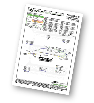
Walk c457 Watch Hill (Cockermouth) and Setmurthy Common (Watch Hill) from Cockermouth

Easy walk up two Wainwright Outlying Fells

Download GPS Waypoint Data for walk c457
Download GPX Waypoint Data for walk c457
Download Map and Route Details for walk c457

Vital Statistics:

Length:4.5 miles (7 km)
Ascent:630ft (192m)
Time:2.25hrs
Grade:Grade 3 Walking Easy
Walk 13 Walking Bootprint Icon

Walk c267 Haycock, Iron Crag, Lank Rigg and Grike from Ennerdale Water

Excellent high level well away from the crowds

Download GPS Waypoint Data for walk c267
Download GPX Waypoint Data for walk c267
Download Map and Route Details for walk c267

Vital Statistics:

Length:15.25 miles (24.5 km)
Ascent:4,125ft (1,257m)
Time:9.75hrs
Grade:Grade 9 Walking Very Hard
Walk 14 Walking Bootprint Icon

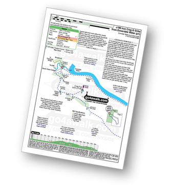
Walk c199 Iron Crag and Grike from Ennerdale Water

Superb high level route away from the crowds

Download GPS Waypoint Data for walk c199
Download GPX Waypoint Data for walk c199
Download Map and Route Details for walk c199

Vital Statistics:

Length:11.75 miles (19 km)
Ascent:2,970ft (905m)
Time:7½ hrs
Grade:Grade 7 Walking Hard
Walk 15 Walking Bootprint Icon

Walk c250 A Circuit of Ennerdale Water

Delightful lakeside stroll

Download GPS Waypoint Data for walk c250
Download GPX Waypoint Data for walk c250
Download Map and Route Details for walk c250

Vital Statistics:

Length:7.25 miles (11.5 km)
Ascent:683ft (208m)
Time:3.25hrs
Grade:Grade 3 Walking Easy
Walk 16 Walking Bootprint Icon

Walk c130 Haycock and Steeple from Ennerdale Water

High fell walk on less popular paths

Download GPS Waypoint Data for walk c130
Download GPX Waypoint Data for walk c130
Download Map and Route Details for walk c130

Vital Statistics:

Length:11.25 miles (18 km)
Ascent:3,275ft (998m)
Time:7½ hrs
Grade:Grade 7 Walking Hard
Walk 17 Walking Bootprint Icon

Walk c120 The Ennerdale Horseshoe

Strenuous, high level route worth every step - if you have the energy!

Download GPS Waypoint Data for walk c120
Download GPX Waypoint Data for walk c120
Download Map and Route Details for walk c120

Vital Statistics:

Length:18.75 miles (30 km)
Ascent:7,309ft (2,408m)
Time:14.75hrs
Grade:Grade 9 Walking Very Hard
Walk 18 Walking Bootprint Icon

Walk c413 Burnbank Fell, Gavel Fell and Hen Comb from Loweswater

High level walk away from the crowds

Download GPS Waypoint Data for walk c413
Download GPX Waypoint Data for walk c413
Download Map and Route Details for walk c413

Vital Statistics:

Length:8.5 miles (13.5 km)
Ascent:2,540ft (774m)
Time:6 hrs
Grade:Grade 6 Walking Moderate
Walk 19 Walking Bootprint Icon

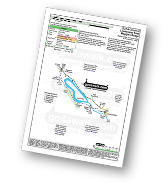
Walk c223 A Circuit of Loweswater from Loweswater

Delightfully quiet lakeside stroll

Download GPS Waypoint Data for walk c223
Download GPX Waypoint Data for walk c223
Download Map and Route Details for walk c223

Vital Statistics:

Length:4.25 miles (6.5 km)
Ascent:98ft (30m)
Time:1½ hrs
Grade:Grade 1 Walking Easy
Walk 20 Walking Bootprint Icon

Walk c202 Low Fell from Loweswater

Fabulous lake views

Download GPS Waypoint Data for walk c202
Download GPX Waypoint Data for walk c202
Download Map and Route Details for walk c202

Vital Statistics:

Length:7 miles (11 km)
Ascent:1,726ft (526m)
Time:4.25hrs
Grade:Grade 5 Walking Moderate
Walk 21 Walking Bootprint Icon

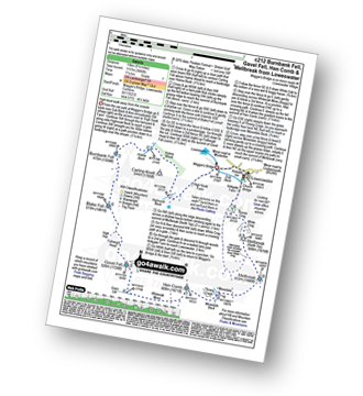
Walk c212 Burnbank Fell, Gavel Fell, Hen Comb and Mellbreak from Loweswater

High level walk away from the crowds

Download GPS Waypoint Data for walk c212
Download GPX Waypoint Data for walk c212
Download Map and Route Details for walk c212

Vital Statistics:

Length:9.5 miles (15 km)
Ascent:3,666ft (1,117m)
Time:7.25hrs
Grade:Grade 7 Walking Hard
Walk 22 Walking Bootprint Icon

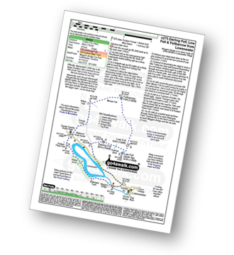
Walk c275 Darling Fell, Low Fell and Fellbarrow from Loweswater

Fabulous views of Loweswater

Download GPS Waypoint Data for walk c275
Download GPX Waypoint Data for walk c275
Download Map and Route Details for walk c275

Vital Statistics:

Length:7.75 miles (12.5 km)
Ascent:1,923ft (586m)
Time:4.75hrs
Grade:Grade 5 Walking Moderate
Walk 23 Walking Bootprint Icon

Walk c478 Burnbank Fell, Blake Fell and Gavel Fell from Loweswater

Fine high level walk

Download GPS Waypoint Data for walk c478
Download GPX Waypoint Data for walk c478
Download Map and Route Details for walk c478

Vital Statistics:

Length:6.5 miles (10.5 km)
Ascent:2,025ft (617m)
Time:4½ hrs
Grade:Grade 5 Walking Moderate
Walk 24 Walking Bootprint Icon

Walk c421 Mellbreak and Hen Comb from Loweswater

Short ridge ascent (scramble) to fine views

Download GPS Waypoint Data for walk c421
Download GPX Waypoint Data for walk c421
Download Map and Route Details for walk c421

Vital Statistics:

Length:6.25 miles (10 km)
Ascent:6ft (770m)
Time:5 hrs
Grade:Grade 6 Walking Moderate
Walk 25 Walking Bootprint Icon

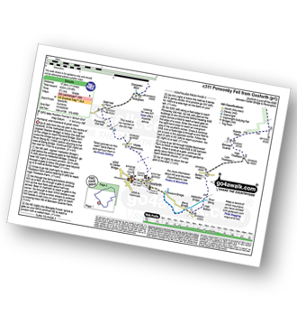
Walk c311 Ponsonby Fell from Gosforth

Quiet & gentle lakeland hills

Download GPS Waypoint Data for walk c311
Download GPX Waypoint Data for walk c311
Download Map and Route Details for walk c311

Vital Statistics:

Length:11 miles (17.5 km)
Ascent:1,418ft (432m)
Time:5½ hrs
Grade:Grade 6 Walking Moderate
Walk 26 Walking Bootprint Icon

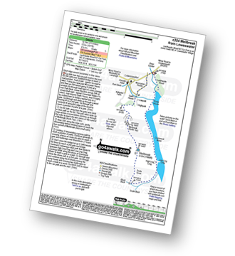
Walk c354 Mellbreak from Lanthwaite Wood

Short easy scramble to fine views

Download GPS Waypoint Data for walk c354
Download GPX Waypoint Data for walk c354
Download Map and Route Details for walk c354

Vital Statistics:

Length:6.5 miles (10.5 km)
Ascent:1,877ft (572m)
Time:4.25hrs
Grade:Grade 5 Walking Moderate
Walk 27 Walking Bootprint Icon

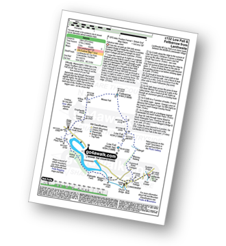
Walk c132 Low Fell and Fellbarrow from Lanthwaite Wood

Fabulous lake views

Download GPS Waypoint Data for walk c132
Download GPX Waypoint Data for walk c132
Download Map and Route Details for walk c132

Vital Statistics:

Length:8.75 miles (14 km)
Ascent:1,884ft (574m)
Time:5 hrs
Grade:Grade 6 Walking Moderate
Walk 28 Walking Bootprint Icon

Walk dg130 Scaw'd Fell and Croft Head from Moffat Dale

Quiet Lonely fells - glorious!

Download GPS Waypoint Data for walk dg130
Download GPX Waypoint Data for walk dg130
Download Map and Route Details for walk dg130

Vital Statistics:

Length:12.25 miles (19.5 km)
Ascent:2,750ft (838m)
Time:7½ hrs
Grade:Grade 7 Walking Hard
Walk 29 Walking Bootprint Icon

Walk dg157 Scaw'd Fell, Loch Fell and Croft Head from Moffat Dale

Quiet Lonely fells - glorious!

Download GPS Waypoint Data for walk dg157
Download GPX Waypoint Data for walk dg157
Download Map and Route Details for walk dg157

Vital Statistics:

Length:14.5 miles (23 km)
Ascent:3,781ft (1,152m)
Time:9 hrs
Grade:Grade 8 Walking Hard
Walk 30 Walking Bootprint Icon

Walk dg119 Croft Head from Moffat Dale

Quiet Lonely fells - glorious!

Download GPS Waypoint Data for walk dg119
Download GPX Waypoint Data for walk dg119
Download Map and Route Details for walk dg119

Vital Statistics:

Length:9.75 miles (15.5 km)
Ascent:2,206ft (672m)
Time:5.75hrs
Grade:Grade 6 Walking Moderate


Follow go4awalk.com on Twitter Follow go4awalk.com on Facebook