20 easy to follow walk route maps of all grades in The Cotswolds

Tap/mouse over a coloured circle (1-3 easy walks, 4-6 moderate walks, 7-9 hard walks) and click to select.


You can use these checkboxes to show only the grades of walk you are interested in:-

Grade

Easy

Grade

Easy

Grade

Easy

Grade

Moderate

Grade

Moderate

Grade

Moderate

Grade

Hard

Grade

Hard

Grade

Very Hard


Twenty easy-to-follow walk route maps of all grades in The Cotswolds in Walk Number Order (Last to First)

Scroll down the list of walks below & click on each walk title (in blue) to locate it on the map above.


See this list of walks, routes & maps in:

Grade Order | Length Order | Time Order | Walk Number or Start Location Order
NB. To reverse (toggle) this order, click Number Order again


Walk 1 Walking Bootprint Icon

Walk ox144 Dean Bottom from Burford

Gently rolling scenery

Download GPS Waypoint Data for walk ox144
Download GPX Waypoint Data for walk ox144
Download Map and Route Details for walk ox144

Vital Statistics:

Length:6.25 miles (10 km)
Ascent:558ft (170m)
Time:2.75hrs
Grade:Grade 3 Walking Easy
Walk 2 Walking Bootprint Icon

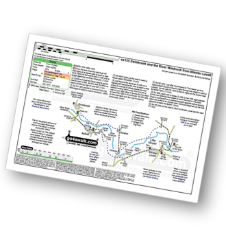
Walk ox135 Swinbrook and The River Windrush from Minster Lovell

Delightful riverside stroll

Download GPS Waypoint Data for walk ox135
Download GPX Waypoint Data for walk ox135
Download Map and Route Details for walk ox135

Vital Statistics:

Length:7 miles (11 km)
Ascent:420ft (128m)
Time:3 hrs
Grade:Grade 3 Walking Easy
Walk 3 Walking Bootprint Icon

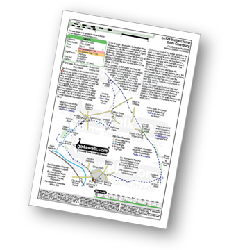
Walk ox126 Inotts Clump from Charlbury

Two famous paths in the Eastern Cotswolds

Download GPS Waypoint Data for walk ox126
Download GPX Waypoint Data for walk ox126
Download Map and Route Details for walk ox126

Vital Statistics:

Length:8.75 miles (14 km)
Ascent:574ft (175m)
Time:3.75hrs
Grade:Grade 3 Walking Easy
Walk 4 Walking Bootprint Icon

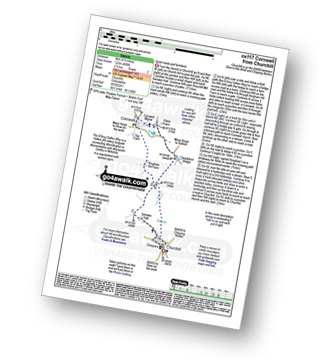
Walk ox117 Cornwell from Churchill

Quiet roads and farmland

Download GPS Waypoint Data for walk ox117
Download GPX Waypoint Data for walk ox117
Download Map and Route Details for walk ox117

Vital Statistics:

Length:5.5 miles (9 km)
Ascent:400ft (122m)
Time:2½ hrs
Grade:Grade 2 Walking Easy
Walk 5 Walking Bootprint Icon

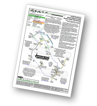
Walk ox109 Foxholes Nature Reserve from Shipton under Wychwood

Level walk in woodland and farmland

Download GPS Waypoint Data for walk ox109
Download GPX Waypoint Data for walk ox109
Download Map and Route Details for walk ox109

Vital Statistics:

Length:6.5 miles (10.5 km)
Ascent:272ft (83m)
Time:2.75hrs
Grade:Grade 2 Walking Easy
Walk 6 Walking Bootprint Icon

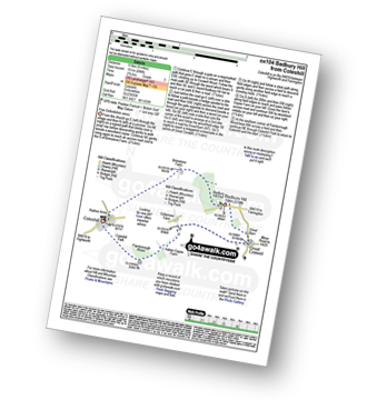
Walk ox104 Badbury Hill from Coleshill

Fine Oxfordshire views

Download GPS Waypoint Data for walk ox104
Download GPX Waypoint Data for walk ox104
Download Map and Route Details for walk ox104

Vital Statistics:

Length:6 miles (9.5 km)
Ascent:496ft (151m)
Time:2.75hrs
Grade:Grade 3 Walking Easy
Walk 7 Walking Bootprint Icon

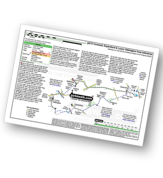
Walk gl213 Cornwell, Daylesford and Lower Oddington from Adlestrop

Gentle rolling scenery

Download GPS Waypoint Data for walk gl213
Download GPX Waypoint Data for walk gl213
Download Map and Route Details for walk gl213

Vital Statistics:

Length:8.25 miles (13 km)
Ascent:696ft (212m)
Time:3.75hrs
Grade:Grade 4 Walking Moderate
Walk 8 Walking Bootprint Icon

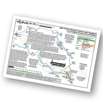
Walk gl204 Naunton from Bourton-on-the-Water

Pretty villages and a riverside stroll - bliss

Download GPS Waypoint Data for walk gl204
Download GPX Waypoint Data for walk gl204
Download Map and Route Details for walk gl204

Vital Statistics:

Length:10.75 miles (17 km)
Ascent:689ft (210m)
Time:4.75hrs
Grade:Grade 4 Walking Moderate
Walk 9 Walking Bootprint Icon

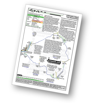
Walk gl186 Hailes Abbey from Winchcombe

Superb rolling scenery

Download GPS Waypoint Data for walk gl186
Download GPX Waypoint Data for walk gl186
Download Map and Route Details for walk gl186

Vital Statistics:

Length:8.5 miles (13.5 km)
Ascent:951ft (290m)
Time:4 hrs
Grade:Grade 4 Walking Moderate
Walk 10 Walking Bootprint Icon

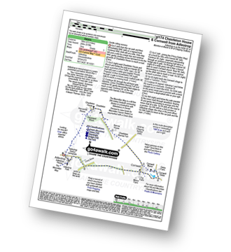
Walk gl174 Chastleton House and Cornwell from Adlestrop

Gentle rolling scenery

Download GPS Waypoint Data for walk gl174
Download GPX Waypoint Data for walk gl174
Download Map and Route Details for walk gl174

Vital Statistics:

Length:6.25 miles (10 km)
Ascent:670ft (204m)
Time:3 hrs
Grade:Grade 3 Walking Easy
Walk 11 Walking Bootprint Icon

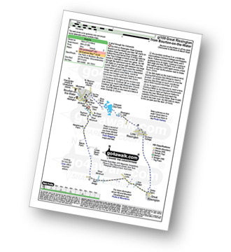
Walk gl159 Great Rissington from Bourton-on-the-Water

A stroll through the Cotswolds

Download GPS Waypoint Data for walk gl159
Download GPX Waypoint Data for walk gl159
Download Map and Route Details for walk gl159

Vital Statistics:

Length:6.75 miles (11 km)
Ascent:312ft (95m)
Time:3 hrs
Grade:Grade 2 Walking Easy
Walk 12 Walking Bootprint Icon

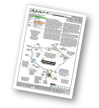
Walk gl154 Donnington from Stow-on-the-Wold

Fine views across the Cotswolds

Download GPS Waypoint Data for walk gl154
Download GPX Waypoint Data for walk gl154
Download Map and Route Details for walk gl154

Vital Statistics:

Length:6 miles (9.5 km)
Ascent:508ft (155m)
Time:2½ hrs
Grade:Grade 3 Walking Easy
Walk 13 Walking Bootprint Icon

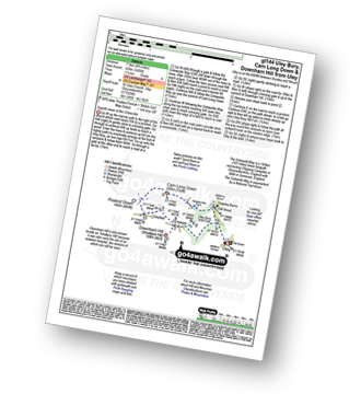
Walk gl144 Uley Bury, Cam Long Down and Downham Hill from Uley

Superb views of the Cotswolds

Download GPS Waypoint Data for walk gl144
Download GPX Waypoint Data for walk gl144
Download Map and Route Details for walk gl144

Vital Statistics:

Length:4.75 miles (7.5 km)
Ascent:1,405ft (428m)
Time:3.25hrs
Grade:Grade 4 Walking Moderate
Walk 14 Walking Bootprint Icon

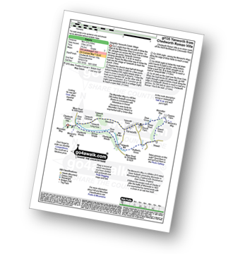
Walk gl135 Yanworth from Chedworth Roman Villa

Delightful Yanworth Estate Village

Download GPS Waypoint Data for walk gl135
Download GPX Waypoint Data for walk gl135
Download Map and Route Details for walk gl135

Vital Statistics:

Length:5.75 miles (9 km)
Ascent:571ft (174m)
Time:2.75hrs
Grade:Grade 3 Walking Easy
Walk 15 Walking Bootprint Icon

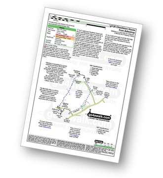
Walk gl126 Chastleton House from Adlestrop

Easy country walking

Download GPS Waypoint Data for walk gl126
Download GPX Waypoint Data for walk gl126
Download Map and Route Details for walk gl126

Vital Statistics:

Length:3.75 miles (6 km)
Ascent:394ft (120m)
Time:1.75hrs
Grade:Grade 2 Walking Easy
Walk 16 Walking Bootprint Icon

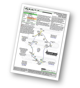
Walk gl125 Coberley, Cockleford from Seven Springs

Delightful Coltswold walk with good views

Download GPS Waypoint Data for walk gl125
Download GPX Waypoint Data for walk gl125
Download Map and Route Details for walk gl125

Vital Statistics:

Length:5.5 miles (9 km)
Ascent:669ft (204m)
Time:2.75hrs
Grade:Grade 3 Walking Easy
Walk 17 Walking Bootprint Icon

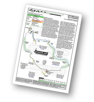
Walk gl115 Withington from Chedworth

Delightful riverside stroll

Download GPS Waypoint Data for walk gl115
Download GPX Waypoint Data for walk gl115
Download Map and Route Details for walk gl115

Vital Statistics:

Length:9 miles (14.5 km)
Ascent:754ft (230m)
Time:4 hrs
Grade:Grade 4 Walking Moderate
Walk 18 Walking Bootprint Icon

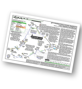
Walk gl111 Chastleton House, Cornwell, Daylesford and Lower Oddington from Adlestrop

Gentle rolling scenery

Download GPS Waypoint Data for walk gl111
Download GPX Waypoint Data for walk gl111
Download Map and Route Details for walk gl111

Vital Statistics:

Length:9 miles (14.5 km)
Ascent:801ft (244m)
Time:4.25hrs
Grade:Grade 4 Walking Moderate
Walk 19 Walking Bootprint Icon

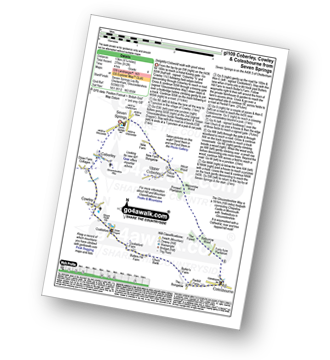
Walk gl109 Coberley, Cowley and Colesbourne from Seven Springs

Delightful Coltswold walk with good views

Download GPS Waypoint Data for walk gl109
Download GPX Waypoint Data for walk gl109
Download Map and Route Details for walk gl109

Vital Statistics:

Length:8.25 miles (13 km)
Ascent:912ft (278m)
Time:4 hrs
Grade:Grade 4 Walking Moderate
Walk 20 Walking Bootprint Icon

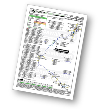
Walk gl103 Longborough, Donnington and Broadwell from Moreton-in-Marsh

Lovely country walking through the Cotswolds

Download GPS Waypoint Data for walk gl103
Download GPX Waypoint Data for walk gl103
Download Map and Route Details for walk gl103

Vital Statistics:

Length:10.25 miles (16.5 km)
Ascent:463ft (141m)
Time:4.25hrs
Grade:Grade 3 Walking Easy

See this list of walks, routes & maps in:

Grade Order | Length Order | Time Order | Walk Number or Start Location Order
NB. To reverse (toggle) this order, click Number Order again



Follow go4awalk.com on Twitter Follow go4awalk.com on Facebook


Home


Find new Friends to go walking with

Walk all 214 Wainwrights in just 59 Walks. Download GPS Waypoints - Great Walks you must not miss!

Walk The Yorkshire Three Peaks Challenge Walk - All the Latest Route Information, GPS Waypoints and Split Times to keep you on Schedule

Walk The British Three Peaks Challenge Walk - All the Latest Route Information and GPS Waypoints

See our pick of The Best Walks in The Lake District - Great Walks you must not miss!

Walk our pick of the Best Lake District Ridge Walks - Great Walks you must not miss!

Walk our pick of the Best Lake District Walks to do in the rain - Great Walks you must not miss!

Walk our pick of The Best Walks in Snowdonia - Great Walks you must not miss!

Walk our pick of The Best Ridge Walks in Wales - Walks you must not miss!

Walk our pick of The Best Walks in The Brecon Beacons - Great Walks you must not miss!

Walk our pick of The Best Walks in The Yorkshire Dales - Walks you must not miss!

Walk our pick of The Best Walks in The Peak District - Walks you must not miss!

Walk our pick of The Best Walks in The Forest of Bowland - Walks you must not miss!

Walk our pick of The Best Walks in Shropshire - Walks you must not miss!

Walk our pick of The Best Walks in Cheshire - Walks you must not miss!

Walk our pick of The Best Walks in Lancashire - Walks you must not miss!

Not sure where to walk next? Try Peak Bagging - Great Walks you must not miss!

Not sure where to walk next? Walk part of a National Trail - Great Walks you must not miss!

Walks with Downloadable and Uploadable GPS Waypoint Data

Walking Kit and Gear Tested by Walkers

Full Site Search