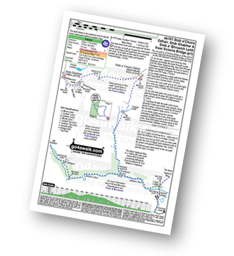
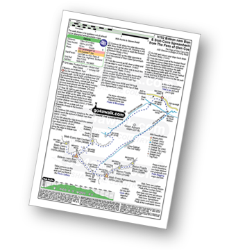
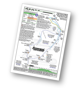
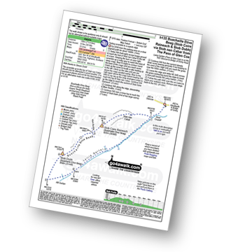
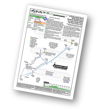
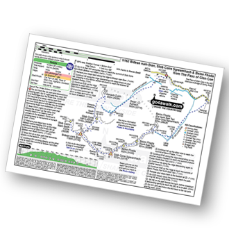
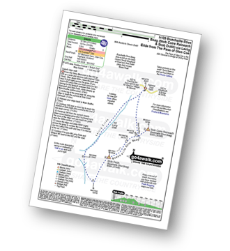
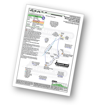
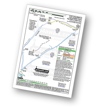
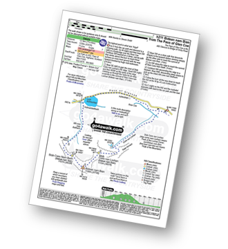
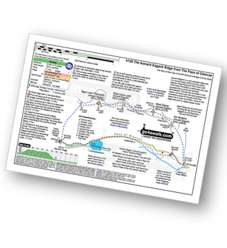
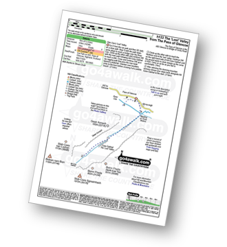
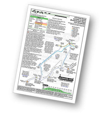
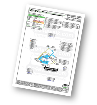
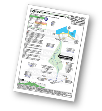
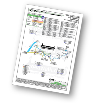
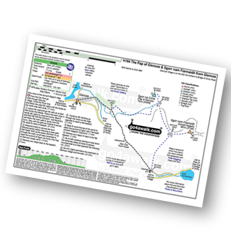
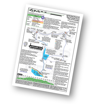
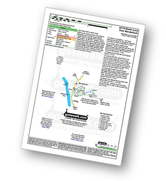
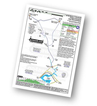
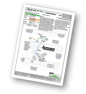
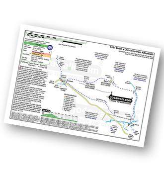
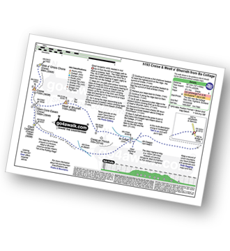
23 easy-to-follow walk route maps of all grades in the Loch Leven to Connel Bridge, Strath of Orchy and Glen Lochy region of Scotland
Twenty-three easy-to-follow walk route maps of all grades in the Loch Leven to Connel Bridge, Strath of Orchy and Glen Lochy region of Scotland in Walk Start Location Order (Z to A)
Loch Leven to Connel Bridge, Strath of Orchy and Glen Lochy is the area enclosed by an imaginary line connecting:
- Rubh' a' Bhaid Bheithe to Rannoch Station via Loch Linnhe, South Ballachulish, Glencoe, Loch Leven & Black Water to the North
- Rannoch Station to Tyndrum via the railway lineLoch Tulla & Bridge of Orchy to the East
- Tyndrum to Lynn of Lorn via the A85 through Glen Lochy, Dalmally, Loch Awe, The River Awe, The Pass of Brander, Taynuilt & Loch Etive to the South
- Lynn of Lorn to Rubh' a' Bhaid Bheithe via Loch Linnhe to the West
See this list of walks, routes & maps in:
Grade Order |
Length Order |
Time Order |
Walk Number or Start Location Order
NB. To reverse (toggle) this order, click Start Order again
Vital Statistics:
| Length: | 13.75 miles (22 km) |
| Ascent: | 4,523ft (1,378m) |
| Time: | 9½ hrs |
| Grade: |  |
Vital Statistics:
| Length: | 9.5 miles (15 km) |
| Ascent: | 6,173ft (1,881m) |
| Time: | 10 hrs |
| Grade: |  |
Vital Statistics:
| Length: | 10.25 miles (16.5 km) |
| Ascent: | 3,929ft (1,197m) |
| Time: | 7.75hrs |
| Grade: |  |
Vital Statistics:
| Length: | 7.5 miles (12 km) |
| Ascent: | 3,016ft (919m) |
| Time: | 6½ hrs |
| Grade: |  |
Vital Statistics:
| Length: | 8.25 miles (13 km) |
| Ascent: | 2,993ft (912m) |
| Time: | 6 hrs |
| Grade: |  |
Vital Statistics:
| Length: | 9.75 miles (16.5 km) |
| Ascent: | 5,405ft (1,647m) |
| Time: | 9 hrs |
| Grade: |  |
Vital Statistics:
| Length: | 6.5 miles (10.5 km) |
| Ascent: | 3,318ft (1,011m) |
| Time: | 6 hrs |
| Grade: |  |
Vital Statistics:
| Length: | 5 miles (8 km) |
| Ascent: | 2,983ft (909m) |
| Time: | 5 hrs |
| Grade: |  |
Vital Statistics:
| Length: | 9.25 miles (14.5 km) |
| Ascent: | 2,194ft (669m) |
| Time: | 5½ hrs |
| Grade: |  |
Vital Statistics:
| Length: | 7.75 miles (12.5 km) |
| Ascent: | 4,391ft (1,338m) |
| Time: | 7.25hrs |
| Grade: |  |
Vital Statistics:
| Length: | 7.75 miles (12.5 km) |
| Ascent: | 4,270ft (1,301m) |
| Time: | 7.25hrs |
| Grade: |  |
Vital Statistics:
| Length: | 5 miles (8 km) |
| Ascent: | 1,004ft (306m) |
| Time: | 3 hrs |
| Grade: |  |
Vital Statistics:
| Length: | 8.25 miles (13 km) |
| Ascent: | 3,814ft (1,162m) |
| Time: | 7 hrs |
| Grade: |  |
Vital Statistics:
| Length: | 1.5 miles (2.5 km) |
| Ascent: | 20ft (6m) |
| Time: | 1 hrs |
| Grade: |  |
Vital Statistics:
| Length: | 7.75 miles (12.5 km) |
| Ascent: | 4,175ft (1,272m) |
| Time: | 7.25hrs |
| Grade: |  |
Vital Statistics:
| Length: | 5.5 miles (9 km) |
| Ascent: | 2,501ft (762m) |
| Time: | 5.75hrs |
| Grade: |  |
Vital Statistics:
| Length: | 8.75 miles (14 km) |
| Ascent: | 4,040ft (1,231m) |
| Time: | 7.25hrs |
| Grade: |  |
Vital Statistics:
| Length: | 11.5 miles (18.5 km) |
| Ascent: | 7,020ft (2,139m) |
| Time: | 11½ hrs |
| Grade: |  |
Vital Statistics:
| Length: | 4.5 miles (7 km) |
| Ascent: | 1,241ft (378m) |
| Time: | 3 hrs |
| Grade: |  |
Vital Statistics:
| Length: | 8.5 miles (13.5 km) |
| Ascent: | 4,378ft (1,334m) |
| Time: | 7½ hrs |
| Grade: |  |
Vital Statistics:
| Length: | 4.25 miles (6.5 km) |
| Ascent: | 2,491ft (759m) |
| Time: | 4 hrs |
| Grade: |  |
Vital Statistics:
| Length: | 6.5 miles (10.5 km) |
| Ascent: | 2,227ft (679m) |
| Time: | 4½ hrs |
| Grade: |  |
Vital Statistics:
| Length: | 12.25 miles (19.5 km) |
| Ascent: | 4,322ft (1,317m) |
| Time: | 8.75hrs |
| Grade: |  |
See this list of walks, routes & maps in:
Grade Order |
Length Order |
Time Order |
Walk Number or Start Location Order
NB. To reverse (toggle) this order, click Start Order again

