Melmerby Fell
709m (2326ft)
The North Pennines, Cumbria, England
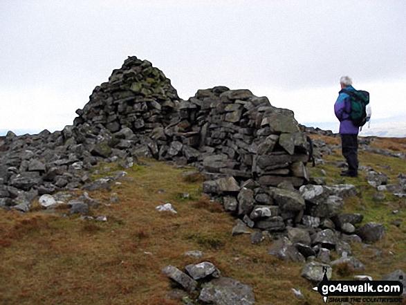
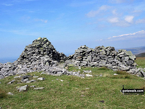
The summit of Melmerby Fell is marked by a cairn.
Not familiar with this top?
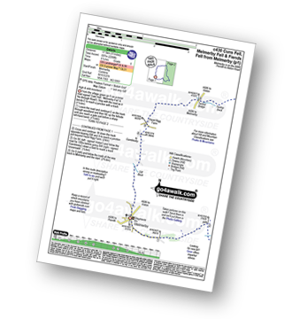
You can walk/hike to the top of Melmerby Fell by using this easy‑to‑follow route map:
See Melmerby Fell and the surrounding tops on our free-to-access 'Google Style' Peak Bagging Map:
The North Pennines
Less data - quicker to download
See Melmerby Fell and the surrounding tops on our unique, downloadable, PDF Peak Bagging Map:
NB: Whether you print off a copy or download it to your phone, this PDF Peak Baggers' Map might prove incredibly useful when your are up there on the tops and you cannot get a phone signal.
You can find Melmerby Fell & all the walks that climb it on these unique free-to-access Interactive Walk Planning Maps:
1:25,000 scale OS Explorer Map (orange/yellow covers):
1:50,000 scale OS Landranger Map (pink/magenta covers):
 Fellow go4awalkers who have already walked, climbed, scaled, summited, hiked & bagged Melmerby Fell
Sam Jones walked up Melmerby Fell on February 13th, 2023 [from/via/route] From Hartside via fiends fell, little knapside & knapside [with] Solo [weather] Bright Sunny day low cloud in valley & intermittently over tops - Awesome views
Caroline Winter climbed it on September 2nd, 2022 [from/via/route] Parked end of road in Melmerby, Rake Beck Wood, Knapside Hill, Melmerby Fell [with] Becky [weather] Warm & dry - Lovely walking with good views of northern lakes fells all day. Chatting with an 80 year old who was just starting to venture out on the fells again after Covid. Started heading off north on return by mistake. Must have been the ice cream van on Gamblesby beckoning us.
Angela Moroney bagged it on May 18th, 2021 [from/via/route] kirkstone [with] Jane ludders [weather] sun wind
Darren Mortimer hiked Melmerby Fell on April 20th, 2019 [from/via/route] Melmerby walk c430 [with] Dermot Palmer [weather] Warm & sunny. - Last of the North Pennine summits.
Kevin Foster summited on March 16th, 2018 [from/via/route] Melmerby [with] Henry [weather] Wet & very windy. Hill fog. - A Helm wind was blowing hard as I set off out of the village. Following the quiet farm track up the hill, & after the plantation, the route zig-zagged up the grassy slopes of Meikle Awfell taking full advantage of the natural features. Out of the wind the route was quite pleasant & much better than the recommended direct trudge up Cuns Fell. After a brief lunch break in the shelter of the intake wall I climbed gradually (into the wind) then followed the wall eastwards along the top of the scar until it took a sharp turn left rising to just below the summit ridge of Dun Edge. I made a slight detour to the right to visit Meg's cairn crossing the old roman road (Maiden Way) before returning to the summit ridge & finally the cairn marking the summit of Melmerby Fell.
Mark Davidson conquered it on February 21st, 2007 [with] Mike & his friend [weather] Cloudy, cold with mist
Christine Shepherd scaled it on August 16th, 2016 [from/via/route] Walked from Melmerby using the good path straight up the fell, then used walk c430 to Fiends Fell & for the descent back to Melerby. [with] On my own [weather] Glorious sunshine witha pleasant breeze on the summit. - A very pleasant walk.
Chris Faulkner walked up Melmerby Fell on August 30th, 2014 [from/via/route] Walk Route Summary: - Melmerby, Meikle Awfell, Cuns Fell, Maiden Way (Roman Road), Meg's Cairn, Melmerby Fell, Knapside Hill, Little Knapside Hill, Fiend's Fell, Twotop Bridge, Hazel Rigg Farm, Gamblesby, Gill Beck, Melmerby. [with] Michelle Chandler [weather] Windy. Dry. - Lovely.
Ray O'hara climbed it on February 5th, 2013 [from/via/route] Melmerby - Melmebrby Fell - Fiends Fell - Melmerby [weather] Cloud above 1900'. Snow on the ground from start to finish, blizzard with 40 MPH winds whilst on the ridge. - An extremely pleasant walk, definitely one to repeat on a fine clear summer's day. I got the impression that the ground wouldn't have been at all boggy, even in wet weather.
Patrick Rogozinski, Matthew Thomas, Paul Booth and Trevor Williams have all walked, climbed & bagged Melmerby Fell.
To add (or remove) your name and experiences on this page - Log On and edit your Personal Mountain Bagging Record
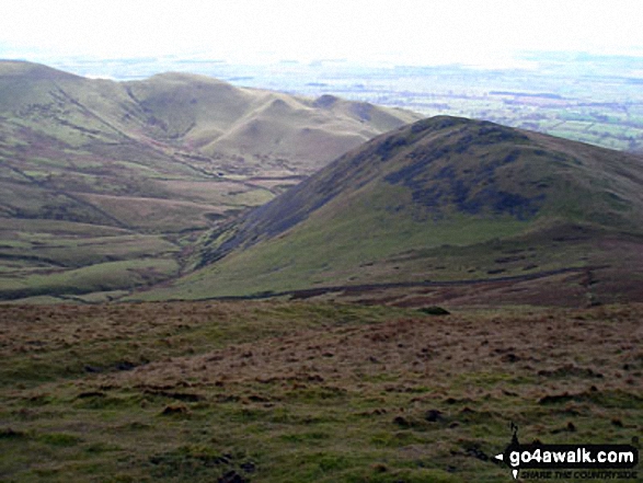
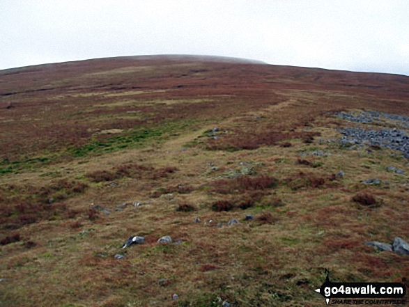
More Photographs & Pictures of views from, on, or of, Melmerby Fell
. . . see all 11 walk photographs & pictures of views from, on, or of, Melmerby Fell
Send us your photographs and pictures on, of, or from Melmerby Fell
If you would like to add your walk photographs and pictures to this page, please send them as email attachments (configured for any computer) along with your name to:
and we shall do our best to publish them.
(Guide Resolution = 300dpi. At least = 660pixels (wide) x 440 pixels (high).)
You can also submit photos via our Facebook Page.
NB. Please indicate where each photo was taken and whether you wish us to credit your photos with a Username or your First Name/Last Name.
 (Moderate)