
![]()
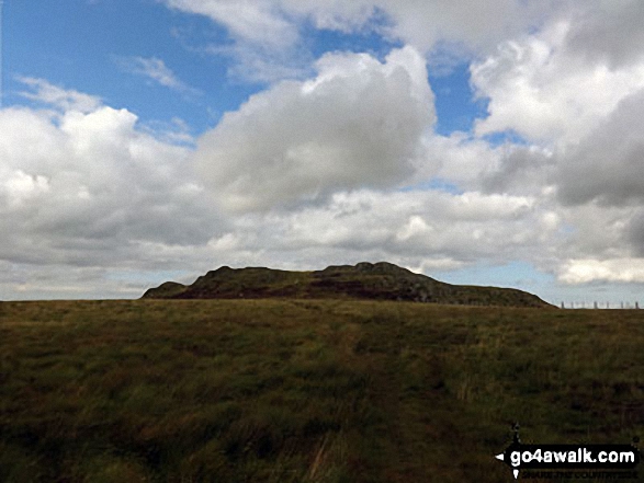
Long Crag
319m (1046ft)
Northumberland, England
The summit of Long Crag is marked by an Ordnance Survey Trig Point.

Not familiar with this top?
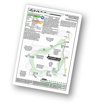
You can walk/hike to the top of Long Crag by using this easy‑to‑follow route map:
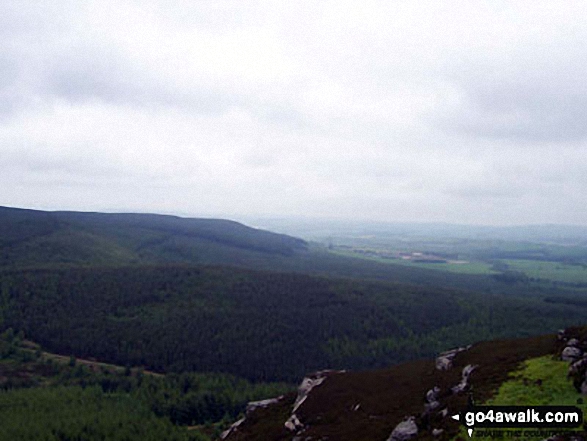
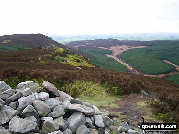
Walk n136 Long Crags from Thrunton Wood
Good views of the Cheviots
   |
|---|
Vital Statistics:
| Length: | 7.75ml (12.5km) |
|---|---|
| Ascent: | 1,250ft (381m) |
| Time: | 4 hrs |
| Grade: |  (Moderate) (Moderate) |
Route Summary:
Thrunton Wood - Callaly Crag - Hard Nab - Long Crag - Coe Crags - Coe Burn - Thrunton Wood
You can find Long Crag & all the walks that climb it on these unique free-to-access Interactive Walk Planning Maps:
1:25,000 scale OS Explorer Map (orange/yellow covers):
1:50,000 scale OS Landranger Map (pink/magenta covers):
 Fellow go4awalkers who have already walked, climbed, scaled, summited, hiked & bagged Long Crag
Christine Shepherd walked up Long Crag on August 24th, 2014 [from/via/route] Walked from Harthope Burn Valley using walk n132 [with] On my own [weather] Perfect walking weather - A nice little scramble after the descent from Hedgehope Hill.
Mark Davidson and Louise Sandwith have both walked, climbed & bagged Long Crag.
To add (or remove) your name and experiences on this page - Log On and edit your Personal Mountain Bagging Record
More Photographs & Pictures of views from, on, or of, Long Crag

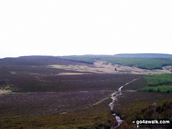

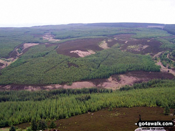
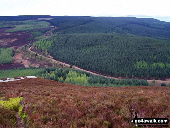


. . . see all 15 walk photographs & pictures of views from, on, or of, Long Crag
Send us your photographs and pictures on, of, or from Long Crag
If you would like to add your walk photographs and pictures to this page, please send them as email attachments (configured for any computer) along with your name to:
and we shall do our best to publish them.
(Guide Resolution = 300dpi. At least = 660pixels (wide) x 440 pixels (high).)

You can also submit photos via our Facebook Page.
NB. Please indicate where each photo was taken and whether you wish us to credit your photos with a Username or your First Name/Last Name.


