Fellbarrow
416m (1365ft)
The Western Fells, The Lake District, Cumbria, England
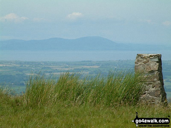
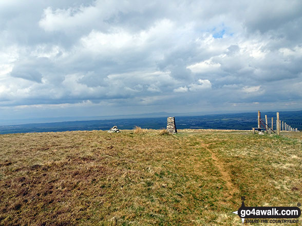
The summit of Fellbarrow is marked by an Ordnance Survey Trig Point.


Not familiar with this top?
You can walk/hike to the top of Fellbarrow by using either of these 2 easy‑to‑follow route maps:

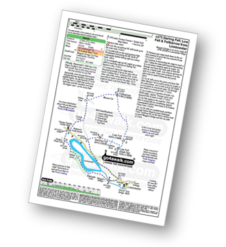
Walk c275 Darling Fell, Low Fell and Fellbarrow from Loweswater
Fabulous views of Loweswater
   |
|---|
Vital Statistics:
| Length: | 7.75ml (12.5km) |
|---|---|
| Ascent: | 1,923ft (586m) |
| Time: | 4.75hrs |
| Grade: |  (Moderate) (Moderate) |
Route Summary:
Maggie's Bridge (Loweswater) - Loweswater - Darling Fell - Crabtree Beck - Low Fell (South Top) - Low Fell - Fellbarrow - Mosser Fell - Wilkes How - Waterend Youth Hostel - Hudson Place Farm - Holme Wood - Watergate Farm - Maggie's Bridge (Loweswater)


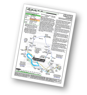
Walk c132 Low Fell and Fellbarrow from Lanthwaite Wood
Fabulous lake views
|
|---|
Vital Statistics:
| Length: | 8.75ml (14km) |
|---|---|
| Ascent: | 1,884ft (574m) |
| Time: | 5 hrs |
| Grade: |  (Moderate) (Moderate) |
Route Summary:
Lanthwaite - Acorn Cottage - Crummockwater Cottages and Foulsyke - Pottergill - Raven Crag (Low Fell) - Low Fell - Low Fell (South Top) - Fellbarrow - Mosser Fell - Wilkes How - Waterend Youth Hostel - Hudson Place Farm - Holme Wood - Watergate Farm - Maggie's Bridge (Loweswater) - Loweswater - Lanthwaite
See Fellbarrow and the surrounding tops on our free-to-access 'Google Style' Peak Bagging Maps:

The Western Fells of The Lake District National Park
Less data - quicker to download
The Whole of The Lake District National Park
More data - might take a little longer to download
See Fellbarrow and the surrounding tops on our unique, downloadable, PDF Peak Bagging Maps:

NB: Whether you print off a copy or download it to your phone, these PDF Peak Baggers' Maps might prove incredibly useful when your are up there on the tops and you cannot get a phone signal.
*This version is marked with the walk routes you need to follow to Walk all 214 Wainwrights in just 59 walks.
You can find Fellbarrow & all the walks that climb it on these unique free-to-access Interactive Walk Planning Maps:
1:25,000 scale OS Explorer Map (orange/yellow covers):
1:50,000 scale OS Landranger Map (pink/magenta covers):
 Fellow go4awalkers who have already walked, climbed, scaled, summited, hiked & bagged Fellbarrow
Mr M A Blanchard walked up Fellbarrow on October 25th, 2025 [with] The mutts
Paul Roddam climbed it on September 27th, 2025 [with] Barb [weather] cloudy but dry
Geoff Hand bagged it on June 6th, 2025 [from/via/route] Walk C275. Went up from Maggie's Bridge at Loweswater. Over Darling fell & onto Low Fell (Blield) & then Low Fell. from there North to Fellbarrow. Spot of lunch & then returned by the Western shore of Loweswater lake. Lovely walk with fantastic views of Crummock Water, Buttermere & surrounding hills.Had a pint at the Kirkstile Inn sat in the sun. [with] Solo [weather] Cloudy, windy with sunny spells. Not bad on the Whole. - Some interesting statues in the farm at the North End of Loweswater including Sean the Sheep! Also the Goblin's tree in the woods on the West bank.
Christine Shepherd hiked Fellbarrow on June 1st, 2010 [from/via/route] Used Walk c275 from Loweswater Climbed again on 28.4.2021 using the same walk.Climbed with a small group from H4TH on 17.9.22. My first walk after a flare up of arthritis in my ankle bone. [with] On my own [weather] Evening sunshine - As I got to the summit I was a bit concerned to see a large bull guarding the Trig point. I didn't get too close!
Simon Boddy summited on May 1st, 2023 [from/via/route] Loweswater [with] My girlfriend [weather] Fair
To add (or remove) your name and experiences on this page - Log On and edit your Personal Mountain Bagging Record
. . . [see more walk reports]
More Photographs & Pictures of views from, on, or of, Fellbarrow
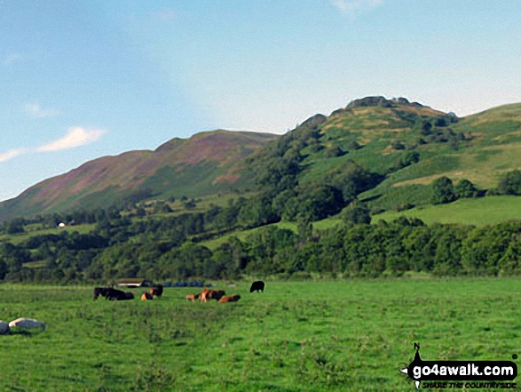

Loweswater Fell featuring Darling Fell, Low Fell and Fellbarrow from Lanthwaite Green
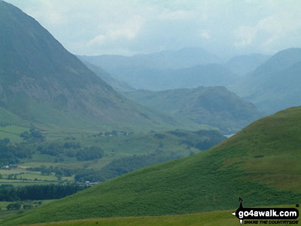
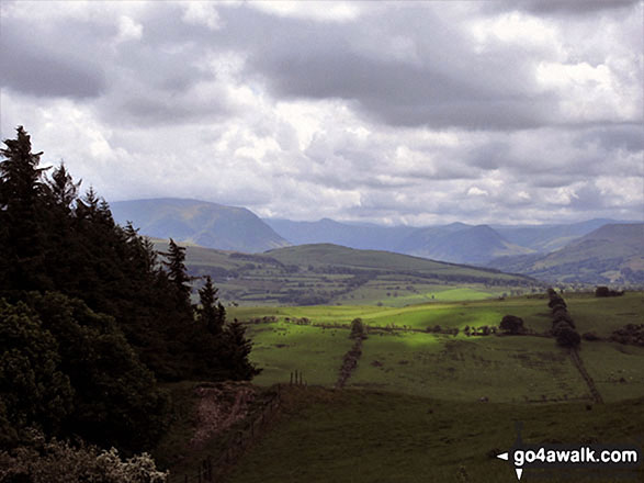
Harrot (centre) and Whiteside (Crummock) (centre left), Mellbreak (centre right) and Fellbarrow (far right) from Setmurthy Common (Watch Hill)
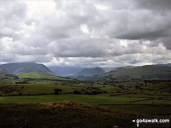
Whiteside (Crummock) (left), Mellbreak (centre) and Fellbarrow (right) from Setmurthy Common (Watch Hill)
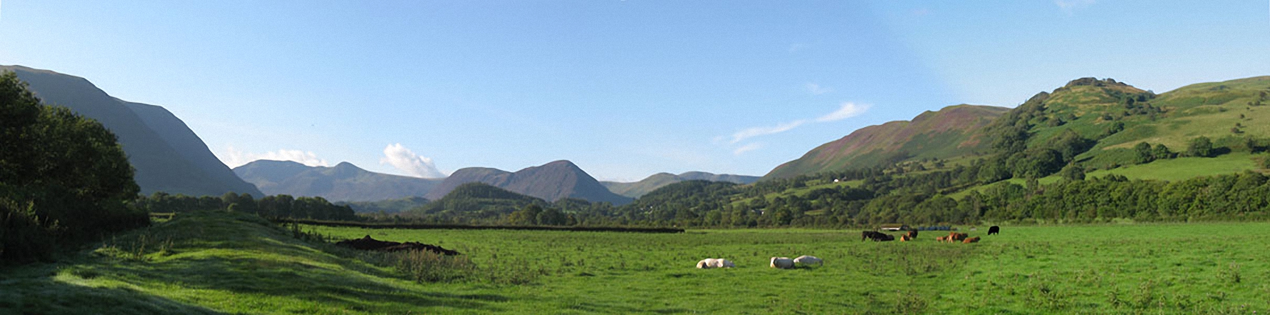
The view is across the Vale of Lorton towards Whiteside (left), High Stile and Red Pike (Buttermere), Mellbreck (centre) and Fellbarrow and Low Fell (right)

Mellbreak, Mellbreak (North Top), Gavel Fell, Blake Fell, Carling Knott, Burnbank Fell and Loweswater Fell featuring Darling Fell, Low Fell and Fellbarrow from Lanthwaite Green

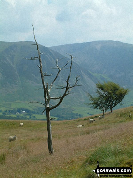
. . . see all 11 walk photographs & pictures of views from, on, or of, Fellbarrow
Send us your photographs and pictures on, of, or from Fellbarrow
If you would like to add your walk photographs and pictures to this page, please send them as email attachments (configured for any computer) along with your name to:
and we shall do our best to publish them.
(Guide Resolution = 300dpi. At least = 660pixels (wide) x 440 pixels (high).)

You can also submit photos via our Facebook Page.
NB. Please indicate where each photo was taken and whether you wish us to credit your photos with a Username or your First Name/Last Name.