![]()
Elidir Fawr
924m (3033ft)
The Glyders (or Glyderau), Snowdonia, Gwynedd, Wales
Tap/mouse over a coloured circle (1-3 easy walks, 4-6 moderate walks, 7-9 hard walks) and click to select.
Elidir Fawr means 'Big Elidir' in Welsh and is pronounced 'el-ee-d-eer vawr'.
Not familiar with this top?
   |
|---|
Vital Statistics:
| Length: | 10.75ml (17km) |
|---|---|
| Ascent: | 4,699ft (1,432m) |
| Time: | 8½ hrs |
| Grade: |  (Hard) (Hard) |
Route Summary:
Nant Peris - Gwastadnant - Afon Las - Llyn y Cwm - Y Garn (Glyderau) - Bwlch y Cywion - Foel-goch - Bwlch y Brecan - Mynydd Perfedd - Carnedd y Filiast (Glyderau) - Carnedd y Filiast (Glyderau) (North Top) - Carnedd y Filiast (Glyderau) - Mynydd Perfedd - Bwlch y Marchlyn - Elidir Fawr - Afon Dudodyn - Nant Peris
|
|---|
Vital Statistics:
| Length: | 12.5ml (18.5km) |
|---|---|
| Ascent: | 5,327ft (1,624m) |
| Time: | 9½ hrs |
| Grade: | (Hard) |
Route Summary:
Pen-y-Gwryd Hotel - Llyn Caseg-fraith - Bwlch Tryfan - Tryfan - (Adam and Eve) - Bwlch Tryfan - Glyder Fach - The Cantilever Stone - Castell y Gwynt (Glyder Fach) - Bwlch y Ddwy-Glyder - Glyder Fawr - Y Garn (Glyderau) - Bwlch y Cywion - Foel-goch - Bwlch y Brecan - Bwlch y Marchlyn - Elidir Fawr - Afon Dudodyn - Nant Peris
See Elidir Fawr and the surrounding tops on our free-to-access 'Google Style' Peak Bagging Maps:
The Glyders (or Glyderau) of Snowdonia National Park
Less data - quicker to download
The Whole of Snowdonia National Park
More data - might take a little longer to download
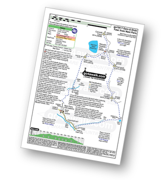
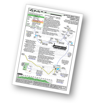
See Elidir Fawr and the surrounding tops on our downloadable Peak Bagging Map in PDF format:

NB: Whether you print off a copy or download it to your phone, this PDF Peak Baggers' Map might prove incredibly useful when your are up there on the tops and you cannot get a phone signal.
You can find Elidir Fawr & all the walks that climb it on these unique free-to-access Interactive Walk Planning Maps:
1:25,000 scale OS Explorer Map (orange/yellow covers):
1:50,000 scale OS Landranger Map (pink/magenta covers):
 Fellow go4awalkers who have already walked, climbed, summited & bagged Elidir Fawr
Hazel Gilbert walked up Elidir Fawr on May 13th, 2016 [with] Lawrence [weather] Sunny
Daniel Moran climbed it on March 5th, 2021 [from/via/route] Lake below [with] Wardy [weather] Decent weather - Small horse shoe
Donovan Suddell bagged it on September 4th, 2023 [from/via/route] Nant Peris [with] Solo [weather] Beautiful sunny blue-sky day giving fantastic views
Stephanie Doyle hiked Elidir Fawr on March 19th, 2022 [with] Friend [weather] Windy
Melfyn Parry summited on November 1st, 2018 [from/via/route] Marchlyn Mawr loop. Start point 596631, tarmac path up to Marchlyn Mawr dam, scrambling up east side of Elidir Fawr ridge, ascending to summit. Return to notch then descent to Bwlch y Marchlyn then climb to summit of Mynydd Perfedd & then over to Carnedd y Filiast stopping on route to see "Atlantic Slabs". Descent from summit to west side of Marchlyn dam before returning to start point. [with] DS & ChW [weather] Mainly sunny day
To add (or remove) your name and experiences on this page - Log On and edit your Personal Mountain Bagging Record
. . . [see more walk reports]
More Photographs & Pictures of views from, on or of Elidir Fawr
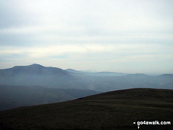
Foel-goch, Elidir Fawr, Mynydd Perfedd and Carnedd y Filiast from Drosgl
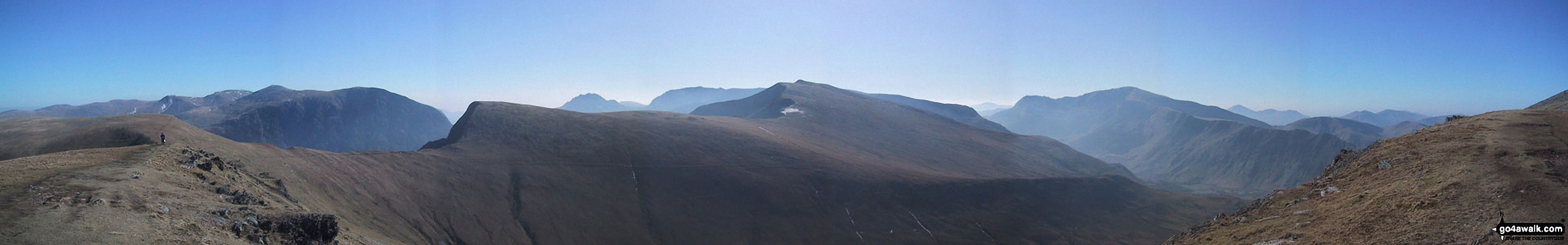
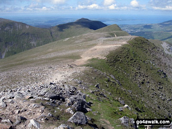
*Y Garn (Glyderau) (far left), Elidir Fawr, Foel-goch, Mynydd Perfedd and Carnedd y Filiast (Glyderau) from Tryfan
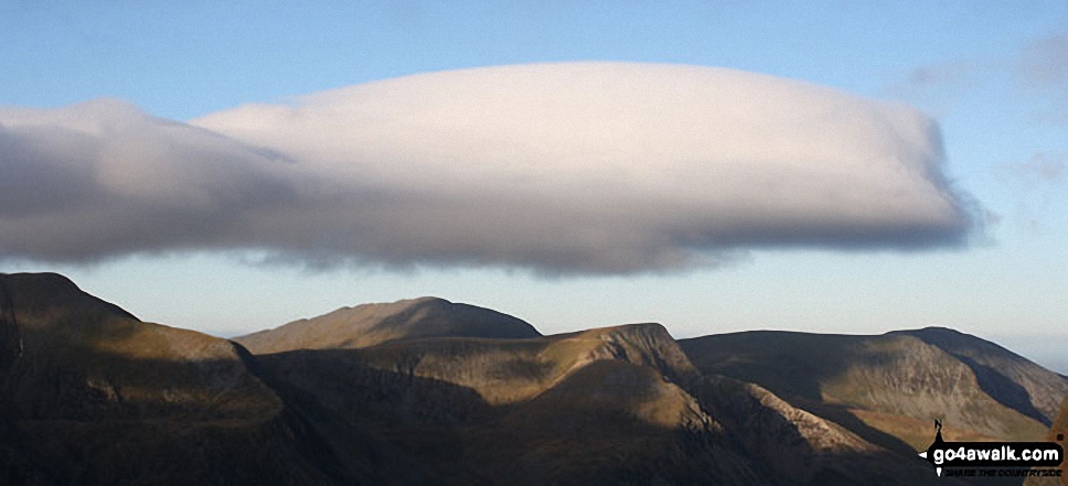
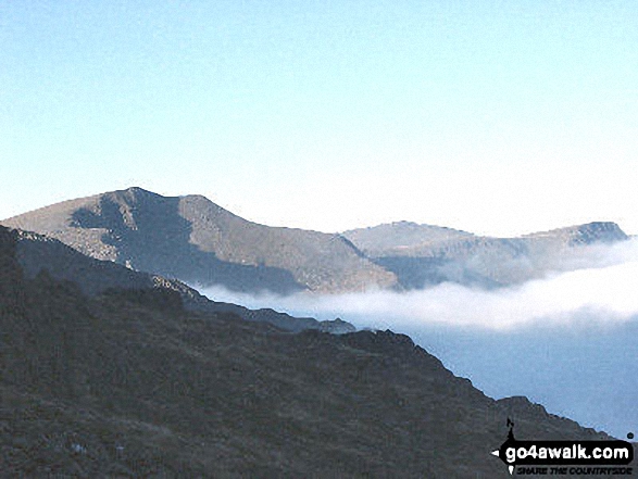
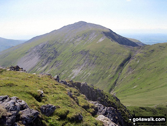
*360 degree panorama featuring Carnedd Dafydd, Foel-Goch (foreground), Tryfan and Glyder Fach, Y Garn (foreground), Crib Goch and Snowdon (Yr Wyddfa) from the summit of Elidir Fawr
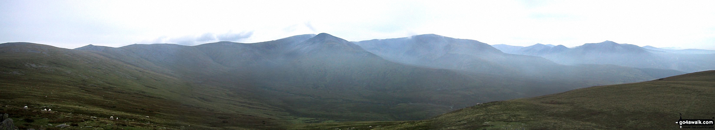
*Carnedd Gwenllian (Carnedd Uchaf), Foel Grach, Carnedd Llewelyn, Carnedd Dafydd, Yr Elen, Foel-goch, Elidir Fawr, Mynydd Perfedd and Carnedd y Filiast from Drosgl
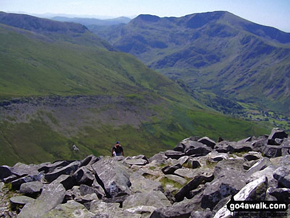
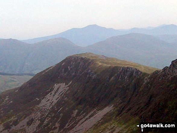
The shoulder of Elidir Fawr, Carnedd y Filiast (Glyderau), Mernedd Perfedd and Foel-goch from Y Garn (Glyderau)
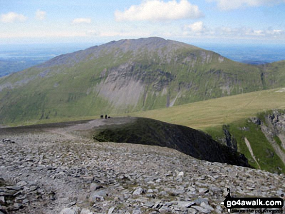
Y Garn (Glyderau), Elidir Fawr (centre) and Foel-goch from near Y Foel Goch
Y Garn (Moel Hebog) from Trum y Ddysgl - with Foel Goch (left), Moel Cynghorion (right) and Elidir Fawr between
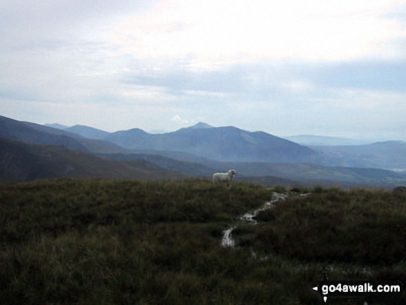
Foel-goch, Elidir Fawr, Mynydd Perfedd and Carnedd y Filiast from Carnedd Gwenllian (Carnedd Uchaf)
. . . see all 16 walk photographs & pictures of views from, on or of Elidir Fawr
Send us your photographs and pictures on, of, or from Elidir Fawr
If you would like to add your walk photographs and pictures to this page, please send them as email attachments (configured for any computer) along with your name to:
and we shall do our best to publish them.
(Guide Resolution = 300dpi. At least = 660pixels (wide) x 440 pixels (high).)

You can also submit photos via our Facebook Page.
NB. Please indicate where each photo was taken and whether you wish us to credit your photos with a Username or your First Name/Last Name.