
![]()
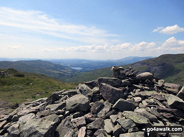
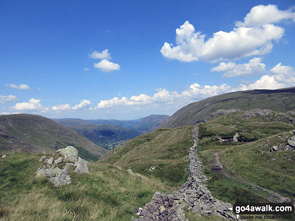
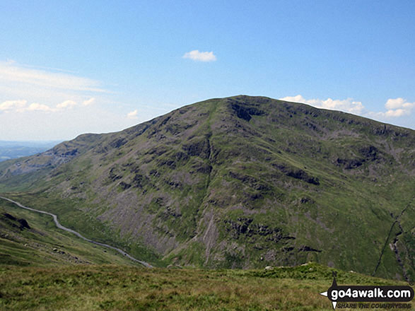
St Raven's Edge
593m (1946ft)
The Far Eastern Fells, The Lake District, Cumbria, England
Not familiar with this top?
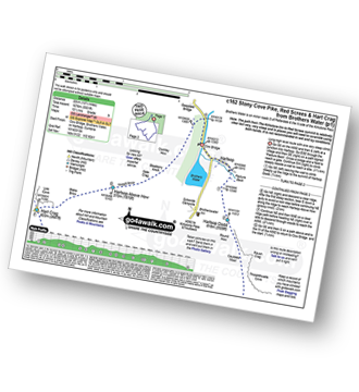
You can walk/hike to the top of St Raven's Edge by using this easy‑to‑follow route map:
Walk c162 Stony Cove Pike (Caudale Moor), Red Screes and Hart Crag from Brothers Water
Long high level route with one very steep climb
   |
|---|
Vital Statistics:
| Length: | 13.75ml (22km) |
|---|---|
| Ascent: | 5,501ft (1,676m) |
| Time: | 10½ hrs |
| Grade: |  (Very Hard) (Very Hard) |
Route Summary:
Cow Bridge Car Park - Brothers Water - Hartsop - Hartsop Dodd - Caudale Moor - Stony Cove Pike (Caudale Moor) - Caudale Head - Pike How - St Raven's Edge - The Kirkstone Pass - Red Screes - Smallthwaite Band - Middle Dodd - Scandale Pass - Little Hart Crag - High Hartsop Dodd - Little Hart Crag - Scandale Head - Dove Crag - Hart Crag - Blake Brow - Hartsop Above How - Hoggill Brow - Gale Crag - Bleaberry Knott - Cockley How - Cow Bridge
See St Raven's Edge and the surrounding tops on our free-to-access 'Google Style' Peak Bagging Maps:
The Far Eastern Fells of The Lake District National Park
Less data - quicker to download
The Whole of The Lake District National Park
More data - might take a little longer to download
See St Raven's Edge and the surrounding tops on our unique, downloadable, PDF Peak Bagging Maps:

NB: Whether you print off a copy or download it to your phone, these PDF Peak Baggers' Maps might prove incredibly useful when your are up there on the tops and you cannot get a phone signal.
*This version is marked with the walk routes you need to follow to Walk all 214 Wainwrights in just 59 walks.
You can find St Raven's Edge & all the walks that climb it on these unique free-to-access Interactive Walk Planning Maps:
1:25,000 scale OS Explorer Map (orange/yellow covers):
1:50,000 scale OS Landranger Map (pink/magenta covers):
 Fellow go4awalkers who have already walked, climbed, scaled, summited, hiked & bagged St Raven's Edge
Tony Rogerson walked up St Raven's Edge on July 16th, 2017 [from/via/route] Caudale Bridge Kirkstone Pass Inn St Raven's Edge Caudale Moor Rough Edge [with] Darren Floss Robbie Ruby [weather] Warm & Sunny
Mark Davidson climbed it on October 16th, 2017 [with] Alone [weather] Bit grim - very wet underfoot in places.
Christine Shepherd bagged it on July 18th, 2017 [from/via/route] I walked from Hartsop using the start of walk c162. [with] On my own [weather] Hot with a welcome breeze occasionally - Great views of Red Screes. I was going to drop down to the Kirkstone Inn after this fell & climb Red Screes but decided it was to hot for a steep scamble.
Darren Mortimer hiked St Raven's Edge on August 24th, 2014 [from/via/route] Brothers Water [with] Dermot Palmer [weather] Fantastic weather lots of sunshine & little wind.
David Lane summited on July 27th, 2006 [with] Kelly
Clare Houlihan has walked, climbed & bagged St Raven's Edge.
To add (or remove) your name and experiences on this page - Log On and edit your Personal Mountain Bagging Record
More Photographs & Pictures of views from, on, or of, St Raven's Edge
Send us your photographs and pictures on, of, or from St Raven's Edge
If you would like to add your walk photographs and pictures to this page, please send them as email attachments (configured for any computer) along with your name to:
and we shall do our best to publish them.
(Guide Resolution = 300dpi. At least = 660pixels (wide) x 440 pixels (high).)

You can also submit photos via our Facebook Page.
NB. Please indicate where each photo was taken and whether you wish us to credit your photos with a Username or your First Name/Last Name.


