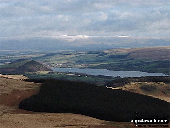
Gowbarrow Fell (Airy Crag)
481m (1579ft)
The Eastern Fells, The Lake District, Cumbria, England
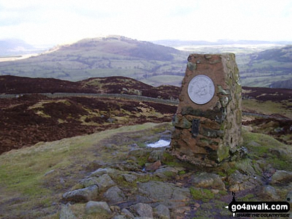
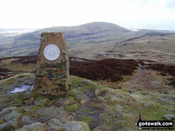
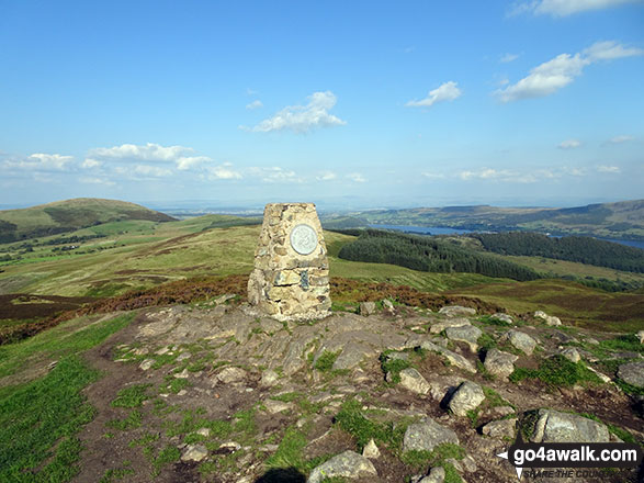
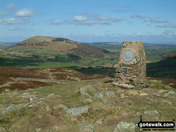
The summit of Gowbarrow Fell (Airy Crag) is marked by an Ordnance Survey Trig Point.
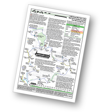
You can find Gowbarrow Fell (Airy Crag) & all the walks that climb it on these unique free-to-access Interactive Walk Planning Maps: (click/TAP to select)
1:25,000 scale OS Explorer Map (the ones with orange/yellow covers):
1:50,000 scale OS Landranger Map (the ones with pink/magenta covers):
See Gowbarrow Fell (Airy Crag) and the surrounding tops on our free-to-access 'Google Style' Peak Bagging Maps:
See Gowbarrow Fell (Airy Crag) and the surrounding tops on our downloadable PDF Peak Bagging Maps:
*Walk & bag all 35 Wainwrights in The Eastern Fells area of The Lake District in just 8 easy-to-follow circular walks.
*This version is marked with the walk routes you need to follow to Walk all 214 Wainwrights in just 59 walks. Click here for more information.
NB: Whether you print off a copy on to paper or download it to your phone, these PDF Peak Baggers Maps will prove incredibly useful when your are up there on the tops and you cannot get a phone signal!
 Fellow go4awalkers who have already walked, climbed, summited & bagged Gowbarrow Fell (Airy Crag)
Martin Hartshorne walked up Gowbarrow Fell (Airy Crag) on September 11th, 2024 [from/via/route] Aira force car park, yew crag, Gowbarrow fell, aira force [with] finley and Alex!!! [weather] Mostly sunshine windyon the top evening sunshine to finish
Andrew Gayne climbed Gowbarrow Fell (Airy Crag) on August 28th, 2024 [from/via/route] Walked up from Aria Force Carpark. [with] Becky [weather] Rainy, very cloudy & misty at the top with zero visibility - Walked up from Aria Force Carpark. Originally intending to visit the falls but continued up to Gowburrow Fell. Very wet & rainy day with zero visibility at the top.
Mr M A Blanchard bagged Gowbarrow Fell (Airy Crag) on June 18th, 2024 [from/via/route] With all the mutts [with] Florence, Millie and Woodie [weather] Sunny warm
Claire Kirk hiked Gowbarrow Fell (Airy Crag) on June 3rd, 2023 [from/via/route] Aira Falls National Trust car park [with] Alone
James Hughes summited Gowbarrow Fell (Airy Crag) on February 11th, 2024 [from/via/route] From Royal Hotel in Dockray... [with] Will [weather] Fairly dry winter day. Not too cold once walking. Great views back over Ullswater - Soup & roll at top.
Kate Peacock conquered Gowbarrow Fell (Airy Crag) on January 20th, 2024 [from/via/route] National Trust Car Park past Aira Force [with] Helen, Rich, Chris & Benny [weather] Soaking
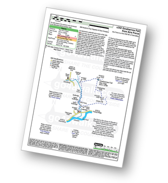
Jan Ireland scaled Gowbarrow Fell (Airy Crag) on January 7th, 2024 [from/via/route] Gowbarrow from Aira Force using C352 route from Go4Walk with Julie Jo. [with] Rolo and Julie J. [weather] Very cold, dry & sunny but icy underfoot. - Glorious views over Ullswater & round to Eden Valley up towards Carlisle.
Michael Nolan walked up Gowbarrow Fell (Airy Crag) on December 6th, 2023 [from/via/route] Airy Force car park [with] Morag [weather] Lovely brilliant frozen ground crisp with blue sky & good visibility but very cold & fell on ice!
Rob Prikanowski climbed Gowbarrow Fell (Airy Crag) on June 14th, 2023 [from/via/route] c309 [weather] Sunny & warm, strong wind.
Simon Myerscough bagged Gowbarrow Fell (Airy Crag) on November 13th, 2022 [from/via/route] C352 - Gowbarrow Fell from Aira Force [with] Joanne [weather] Sunny & cold - very wet underfoot
To add (or remove) your name and experiences on this page - Log On and edit your Personal Mountain Bagging Record
. . . [see more walk reports]
More Photographs & Pictures of views from, on or of Gowbarrow Fell (Airy Crag)
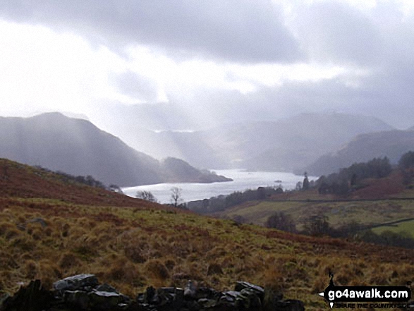
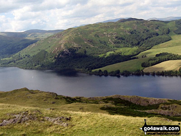
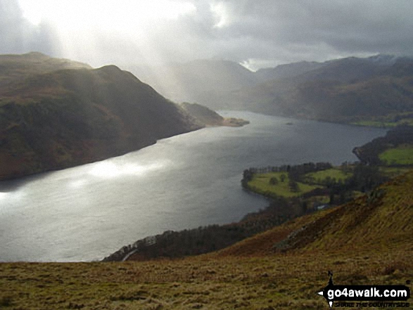
Ullswater and Patterdale from the lower slopes of Gowbarrow Fell (Airy Crag)
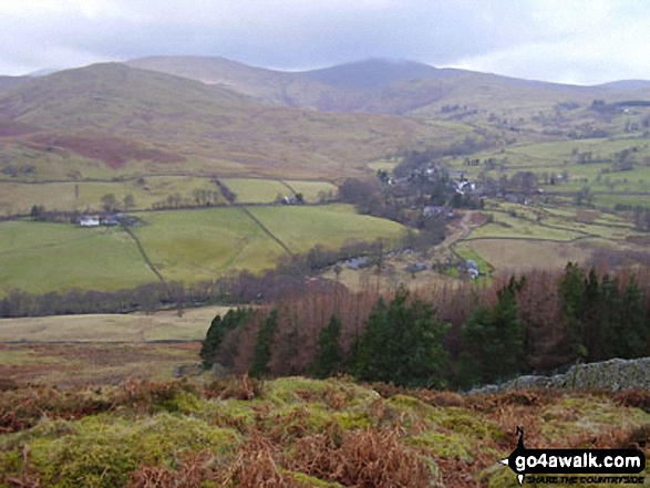
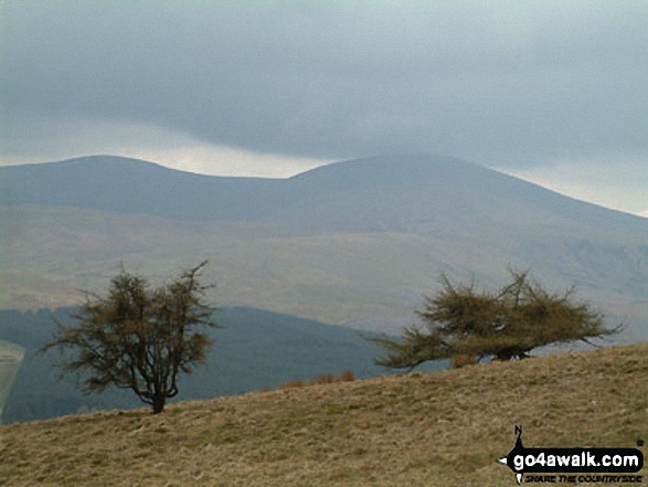
Watson's Dodd, Great Dodd and Clough Head and Dockray from Gowbarrow Fell (Airy Crag)
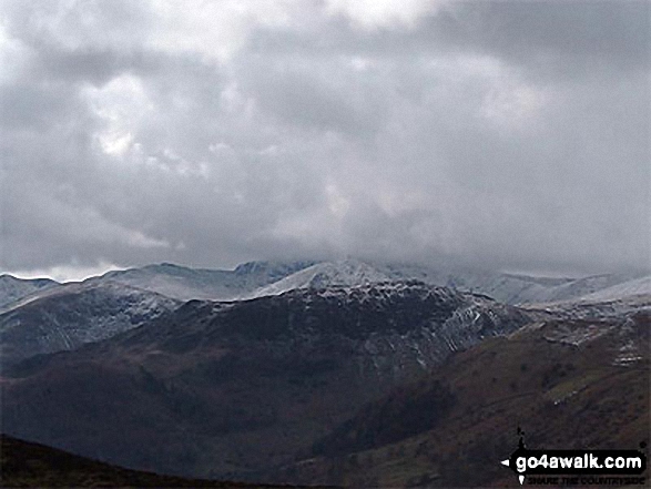
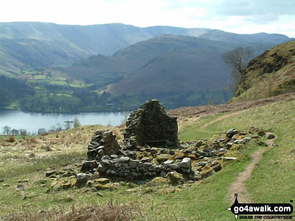
Striding Edge and Helvellyn (in mist) with Birkhouse Moor in front, Catstycam and Sheffield Pike from Gowbarrow Fell (Airy Crag)
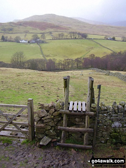
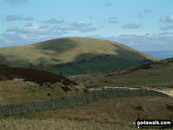
Watermillock Common with Hart Side beyond from below Gowbarrow Fell (Airy Crag)
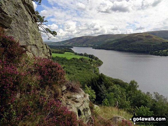
Climbing up the edge of Gowbarrow Fell (Airy Crag) high above the North Western shores of Ullswater.

Ullswater featuring Patterdale & Glenridding (left), Gowbarrow Fell (Airy Crag) (centre left), Great Mell Fell (centre), Little Mell Fell (centre right) and Pooley Bridge (right) from Hallin Fell summit
Send us your photographs and pictures on, of, or from Gowbarrow Fell (Airy Crag)
If you would like to add your walk photographs and pictures featuring views from, on or of Gowbarrow Fell (Airy Crag) to this page, please send them as email attachments (configured for any computer) along with your name to:
and we shall do our best to publish them.
(Guide Resolution = 300dpi. At least = 660pixels (wide) x 440 pixels (high).)
You can also submit photos via our Facebook Page.
NB. Please indicate where each photo was taken.
 (Moderate)
 (Hard)