Mountain (Hewitt), Wainwright, Nuttall, Marilyn & OS Trig Point Icon

Place Fell
657m (2156ft)

The Far Eastern Fells, The Lake District, Cumbria, England

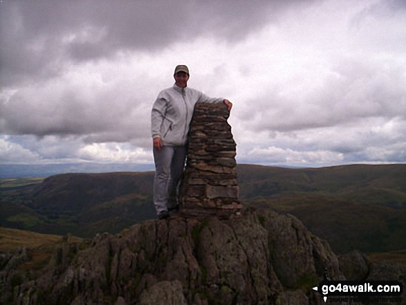
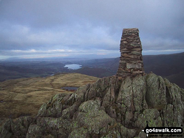
The summit of Place Fell is marked by an Ordnance Survey Trig Point.


Record Place Fell as Bagged, Climbed & Conquered


English Mountain Icon

English Mountain
137th highest in England,
238th in England & Wales

Wainwright Icon

Wainwright
(No. 108)

English Nuttall Icon

English Nuttall
184th highest in England,
319th in England & Wales

English Marilyn Icon

English Marilyn
44th highest in England,
684th highest in Great Britain

English Trig Point Icon


English Trig Point (Pillar)

Walk Place Fell walking UK Mountains in The Far Eastern Fells The Lake District National Park Cumbria, England

Place Fell Summit

Photo: Stephen Collins

You can find Place Fell & all the walks that climb it on these unique free-to-access Interactive Walk Planning Maps: (click/TAP to select)

The Lake District National Park


1:25,000 scale OS Explorer Map (the ones with orange/yellow covers):

OL5 The English Lakes - North Eastern area


1:50,000 scale OS Landranger Map (the ones with pink/magenta covers):

90 Penrith & Keswick, Ambleside


See Place Fell and the surrounding tops on our free-to-access 'Google Style' Peak Bagging Maps:

See Place Fell and the surrounding tops on our downloadable PDF Peak Bagging Maps:

NB: Whether you print off a copy on to paper or download it to your phone, these PDF Peak Baggers Maps will prove incredibly useful when your are up there on the tops and you cannot get a phone signal!


You can walk to the top of Place Fell by using any of these 3 easy‑to‑follow route maps:
Walking Boot Print Icon

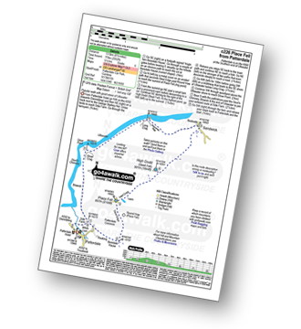
Walk c226 Place Fell from Patterdale

Popular walk with good views of Ullswater

Walk GPS Icon
Walk GPX Icon
Walk PDF Icon

Vital Statistics:

Length: 8.5ml (13.5km)
Ascent:2,552ft (778m)
Time:6 hrs
Grade:Walk Grade 6 Icon (Moderate)
Walking Boot Print Icon

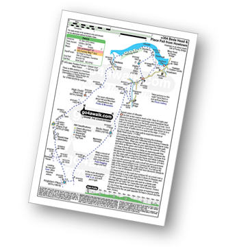
Walk c304 Beda Head and Place Fell from Howtown

Superb views of Ullswater

Walk GPS Icon
Walk GPX Icon
Walk PDF Icon

Vital Statistics:

Length: 9.75ml (15.5km)
Ascent:3,470ft (1,058m)
Time:7 hrs
Grade:Walk Grade 7 Icon (Hard)
Walking Boot Print Icon

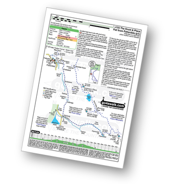
Walk c155 The Knott and Place Fell from Patterdale

Long high level route with fine views of Ullswater

Walk GPS Icon
Walk GPX Icon
Walk PDF Icon

Vital Statistics:

Length: 15.5ml (25km)
Ascent:4,293ft (1,308m)
Time:10 hrs
Grade:Walk Grade 9 Icon (Very Hard)

Other walkers who hiked, climbed, bagged and summited Place Fell Fellow go4awalkers who have already walked, climbed, summited & bagged Place Fell

Angeline Grieveson walked up Place Fell on July 29th, 2024 [with] Anu & Dotty

Ian Ashton climbed Place Fell on August 2nd, 2024 [with] Solo - Ì

Martin Hartshorne bagged Place Fell on March 22nd, 2024 [from/via/route] St Peters church [with] finley [weather] Blue skies & clouds super windy on the tops, stayed dry tho!

Andrew Peate hiked Place Fell on August 15th, 2023 [from/via/route] From Howton off Ullswater Steamer [weather] Clear, breezy

Pete George summited Place Fell on April 8th, 2023 [from/via/route] Martindale [with] Roco [weather] Lovely spring day, warm

Martyn Atherton conquered Place Fell on September 19th, 2022 [from/via/route] C226 Place Fell & High Dodd (Sleet Fell) from Patterdale [with] Paul Atherton [weather] Misty then very Sunny - Loved the route 5 hrs

Christine Shepherd scaled Place Fell on August 17th, 2009 [from/via/route] Walked from Patterdale [with] On my own [weather] Fine but quite windy - Just up & down this one while my husband packed the car & paid for the b & b. Climbed again on my own 9.7.17. Climbed for a third time on a very hot day from Patterdale on 10.08.22; walked down to Howtown & back over Beda Fell & Angletarn Pikes.

Caroline Winter walked up Place Fell on April 2nd, 2016 [from/via/route] The Old Water View Hotel, Patterdale, SE then Northerly along main route & return [with] Andy and Becky [weather] Drizzle, moderate visibility but cloud from Round How to summit - First time climbed. Great for young walker, as up & down in 2.5 hrs. Climbed again in May 22. Weather this time glorious & descended along faint track to meet Ullswater

Tom Mcbeath climbed Place Fell on January 15th, 2022 [from/via/route] Walked from Hartsop Fold - [with] Ursula [weather] dry - Visibility excellent & saw a couple of herd of deer over on the side of Beda Fell

John Ramsbottom bagged Place Fell on May 2nd, 2022 [from/via/route] Howtown, walk c304 [with] Skratch and Lola [weather] misty then fine weather - solo walk with dogs

To add (or remove) your name and experiences on this page - Log On and edit your Personal Mountain Bagging Record

. . . [see more walk reports]


More Photographs & Pictures of views from, on or of Place Fell
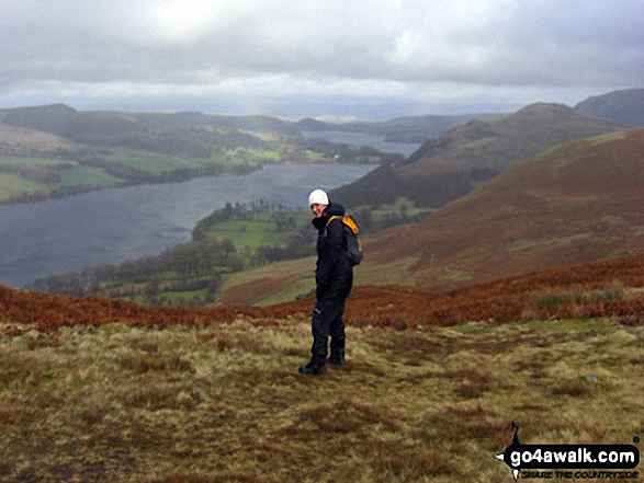
On Place Fell

On Place Fell

Photo: Carol Johnson (2)

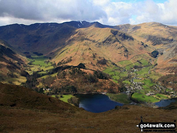
Ullswater, Glenridding and the Helvellyn Ridge from Place Fell

Ullswater, Glenridding and the Helvellyn Ridge from Place Fell

Photo: Robbie Breadner (2)

Jenny Smith on the descent from Place Fell to Sandwick with Ullswater in the background
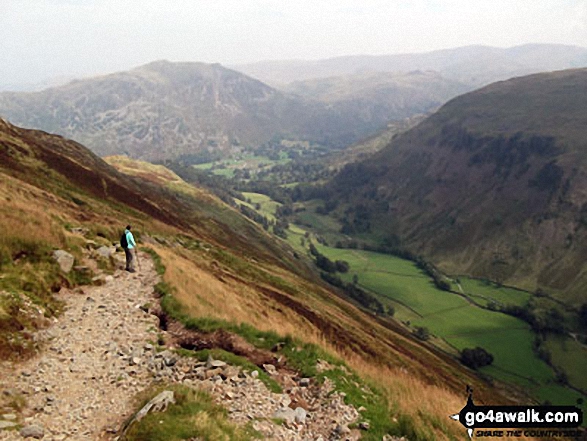
Jenny Smith on the descent from Place Fell to Sandwick with Ullswater in the background

Photo: David Braim (2)

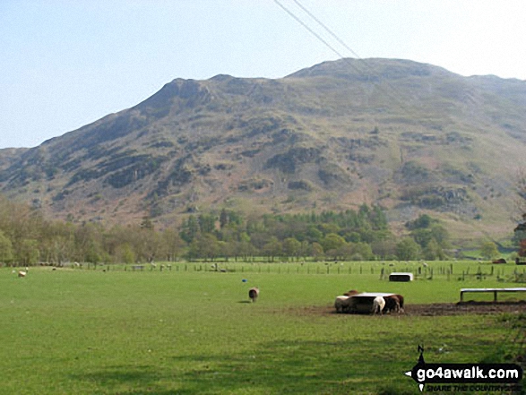
Place Fell from Patterdale

Place Fell from Patterdale

Photo: Alan Wainwright (3)

Place Fell, Grisedale and the lower slopes of St Sunday Crag (right) from below Hole-in-the-Wall
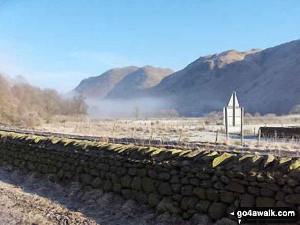
Place Fell, Grisedale and the lower slopes of St Sunday Crag (right) from below Hole-in-the-Wall

Photo: Edward Felstead (16)

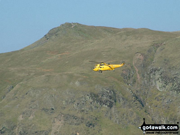
Rescue Helicopter with Place Fell from Beda Head (Beda Fell)

Rescue Helicopter with Place Fell from Beda Head (Beda Fell)

Photo: David Hayter (107)

Early Morning Mist nr Hartsop Village with The Angletarn Pikes and Place Fell in the background
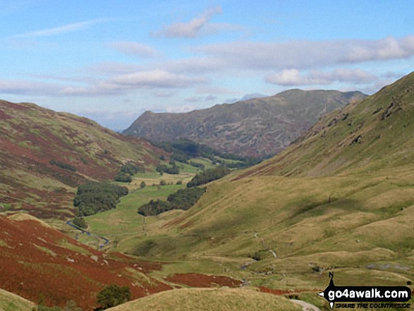
Early Morning Mist nr Hartsop Village with The Angletarn Pikes and Place Fell in the background

Photo: Chris Haselden (8)

Birkhouse Moor (left), St Sunday Crag (right) and Place Fell (centre) from near Grisedale Tarn
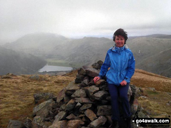
Birkhouse Moor (left), St Sunday Crag (right) and Place Fell (centre) from near Grisedale Tarn

Photo: Dean Richardson (17)

Me, Wainwright bagging, at the top of Middle Dodd with Brothers Water and Place Fell in the distance
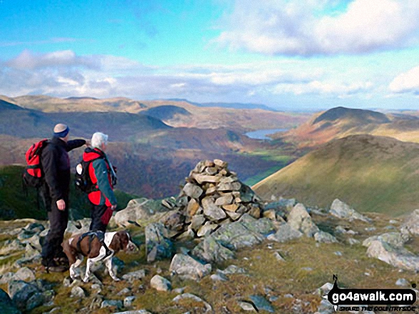
Me, Wainwright bagging, at the top of Middle Dodd with Brothers Water and Place Fell in the distance

Photo: Gail Caruana (1)

Arnison Crag (left) and Place Fell from Hartsop above How

Arnison Crag (left) and Place Fell from Hartsop above How

Photo: Andy Malcolm (59)

Ullswater and Place Fell from snowy Hartsop Dodd

Ullswater and Place Fell from snowy Hartsop Dodd

Photo: Chris Haselden (43)

Near Angletarn Pikes with Ullswater and Place Fell in the background

Near Angletarn Pikes with Ullswater and Place Fell in the background

Photo: Liz Mitchell (1)

Angle Tarn Pikes, Place Fell and Hartsop from Hartsop Dodd

Angle Tarn Pikes, Place Fell and Hartsop from Hartsop Dodd

Photo: Ivor Bennett (13)

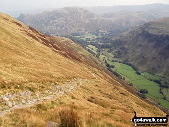
Glenridding from Place Fell

Glenridding from Place Fell

Photo: Carol Johnson (1)

Place Fell and Grisedale from Hole-in-the-Wall

Place Fell and Grisedale from Hole-in-the-Wall

Photo: Edward Felstead (15)

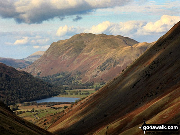
Place Fell above Brothers Water from The Kirkstone Pass

Place Fell above Brothers Water from The Kirkstone Pass

Photo: George White (24)

Ullswater, Place Fell (right - distance) and <br>Hartsop Dodd (right - mid-distance) from Caudale Head

Ullswater, Place Fell (right - distance) and
Hartsop Dodd (right - mid-distance) from Caudale Head
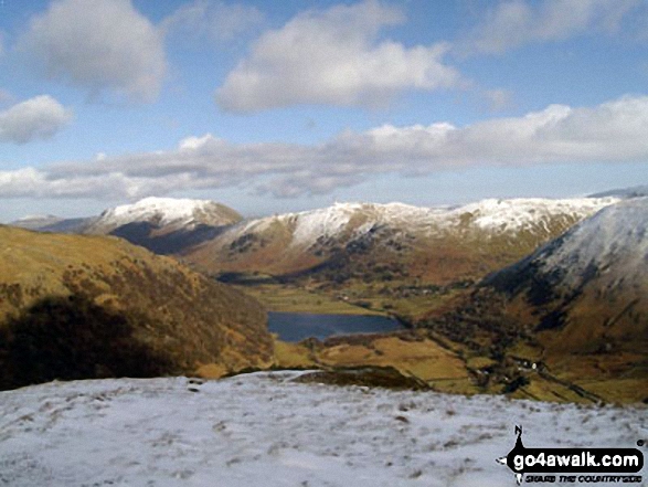
Photo: Chris Trueman (2)

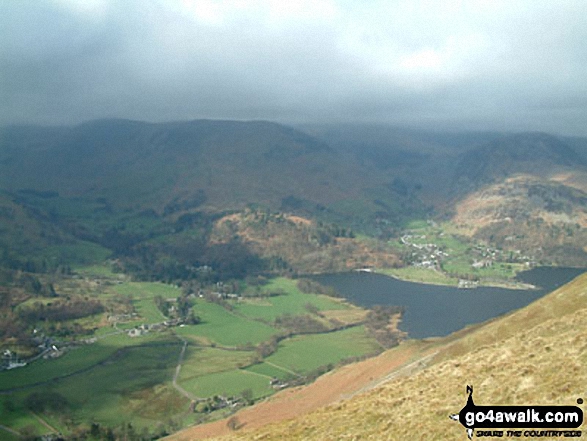
Patterdale and Glenridding from Place Fell

Patterdale and Glenridding from Place Fell

Photo: David Hayter (125)

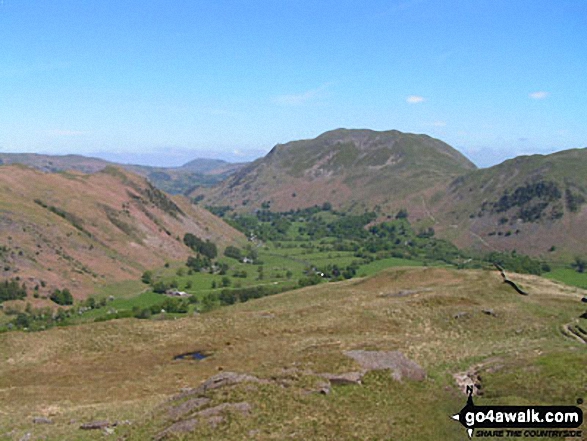
Place Fell and Angletarn Pikes above Brothers Water from High Hartsop Dodd

Place Fell and Angletarn Pikes above Brothers Water from High Hartsop Dodd

Photo: Christine Shepherd (4)

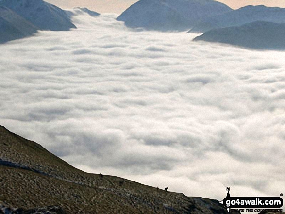
Temperature Inversion in Patterdale viewed from Place Fell

Temperature Inversion in Patterdale viewed from Place Fell

Photo: Steve Sandell (1)


. . . see all 39 walk photographs & pictures of views from, on or of Place Fell


Send us your photographs and pictures on, of, or from Place Fell

If you would like to add your walk photographs and pictures featuring views from, on or of Place Fell to this page, please send them as email attachments (configured for any computer) along with your name to:


and we shall do our best to publish them.

(Guide Resolution = 300dpi. At least = 660pixels (wide) x 440 pixels (high).)

Send us your photographs and pictures on, of, or from Place Fell via Facebook

You can also submit photos via our Facebook Page.

NB. Please indicate where each photo was taken.


Follow go4awalk.com on Twitter Follow go4awalk.com on Facebook


Home


Find new Friends to go walking with

Walk all 214 Wainwrights in just 59 Walks. Download GPS Waypoints - Great Walks you must not miss!

Walk The Yorkshire Three Peaks Challenge Walk - All the Latest Route Information, GPS Waypoints and Split Times to keep you on Schedule

Walk The British Three Peaks Challenge Walk - All the Latest Route Information and GPS Waypoints

See our pick of The Best Walks in The Lake District - Great Walks you must not miss!

Walk our pick of the Best Lake District Ridge Walks - Great Walks you must not miss!

Walk our pick of the Best Lake District Walks to do in the rain - Great Walks you must not miss!

Walk our pick of The Best Walks in Snowdonia - Great Walks you must not miss!

Walk our pick of The Best Ridge Walks in Wales - Walks you must not miss!

Walk our pick of The Best Walks in The Brecon Beacons - Great Walks you must not miss!

Walk our pick of The Best Walks in The Yorkshire Dales - Walks you must not miss!

Walk our pick of The Best Walks in The Peak District - Walks you must not miss!

Walk our pick of The Best Walks in The Forest of Bowland - Walks you must not miss!

Walk our pick of The Best Walks in Shropshire - Walks you must not miss!

Walk our pick of The Best Walks in Cheshire - Walks you must not miss!

Walk our pick of The Best Walks in Lancashire - Walks you must not miss!

Not sure where to walk next? Try Peak Bagging - Great Walks you must not miss!

Not sure where to walk next? Walk part of a National Trail - Great Walks you must not miss!

Walks with Downloadable and Uploadable GPS Waypoint Data

Walking Kit and Gear Tested by Walkers

Full Site Search