
![]()
Humphrey Head
53m (173ft)
The Southern Marches, The Lake District, Cumbria, England
Humphrey Head actually lies just outside the Lake District National Park southern boundary but it is classified as being within the park for Peak Bagging purposes to stop it getting missed.
Tap/mouse over a coloured circle (1-3 easy walks, 4-6 moderate walks, 7-9 hard walks) and click to select.
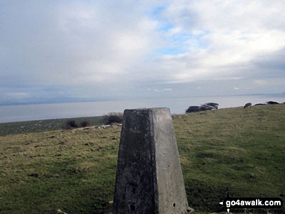
The summit of Humphrey Head is marked by an Ordnance Survey Trig Point.
Not familiar with this top?
   |
|---|
Vital Statistics:
| Length: | 3.75ml (6km) |
|---|---|
| Ascent: | 309ft (94m) |
| Time: | 1.75hrs |
| Grade: |  (Easy) (Easy) |
Route Summary:
Allithwaite - Wraysholme Tower - The Cumbria Coastal Way - Humphrey Head - Humphrey Head Wood - Wyke Farm - Kirkhead End - Allithwaite
|
|---|
Vital Statistics:
| Length: | 10.25ml (16.5km) |
|---|---|
| Ascent: | 1,375ft (419m) |
| Time: | 5.25hrs |
| Grade: |  (Moderate) (Moderate) |
Route Summary:
Grange-over-Sands - Eggerslack Wood - Hampsfell - Fell End - High Fell Gate Farm - Allithwaite - Wraysholme Tower - The Cumbria Coastal Way - Humphrey Head - Humphrey Head Wood - Wyke Farm - Kirkhead End - Allithwaite - Kents Bank - Morecambe Bay - Grange-over-Sands
See Humphrey Head and the surrounding tops on our free-to-access 'Google Style' Peak Bagging Maps:
The Southern Marches area of The Lake District National Park
Less data - quicker to download
The Whole of The Lake District National Park
More data - might take a little longer to download
A go4awalk.com downloadable Peak Bagging Map in PDF format featuring Humphrey Head should be available soon.
You can find Humphrey Head & all the walks that climb it on these unique free-to-access Interactive Walk Planning Maps:
1:25,000 scale OS Explorer Map (orange/yellow covers):
1:50,000 scale OS Landranger Maps (pink/magenta covers):
 Fellow go4awalkers who have already walked, climbed, summited & bagged Humphrey Head
Trevor Williams walked up Humphrey Head on May 17th, 2019 [with] HF Group
Andrew Flynn climbed Humphrey Head on August 8th, 2021 [with] Nicola
Adrian Howard bagged Humphrey Head on September 1st, 2020 [from/via/route] From parking area West of summit.
Suzanne Eastwood hiked Humphrey Head on January 5th, 2020 [from/via/route] From Grange Over Sands, via Hampsfell & Allithwaite [weather] Wet. Poor visibility.
Dave Gay summited Humphrey Head on April 11th, 2017 [from/via/route] Rail & Walk...10:04 Preston to Cark & Cartmel returning on 13:56....Through Flookburgh to Lanes forming Cumbria Costal route along to the Outdoor centre & then follow RSPB signs to reach the top. [with] Solo [weather] Cloudy
Charlie Housley conquered Humphrey Head on October 21st, 2013 [from/via/route] From the outdoor centre. [with] Jo. [weather] Horrible. Lots of rain & squally wind.
Mark Davidson has scaled Humphrey Head [with] Alone [weather] Bit grey & dull - brightened up by the time I got back to Grange but it was too late then! - Watched a flock of Canada Geese circle the headland several times to get a bearing before flying off to the west
Christine Shepherd walked up Humphrey Head on February 19th, 2014 [from/via/route] Climbed up the steep path from just past the cattle grid. [with] Jenny [weather] Clear on the way up started to rain on the way back to the car.
Louise Sandwith, Paul Booth, David Preston, Paul Woodburn, Louis Smith, Geoffrey Robertshaw, Jan Dixon and Jeanette Coward have all walked, climbed & bagged Humphrey Head.
To add (or remove) your name and experiences on this page - Log On and edit your Personal Mountain Bagging Record
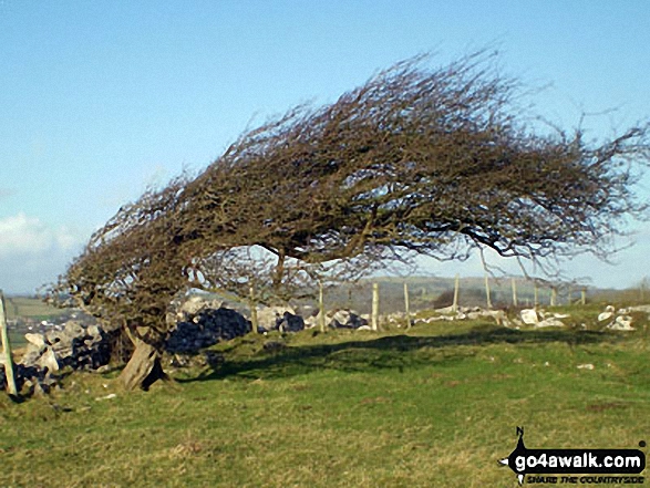
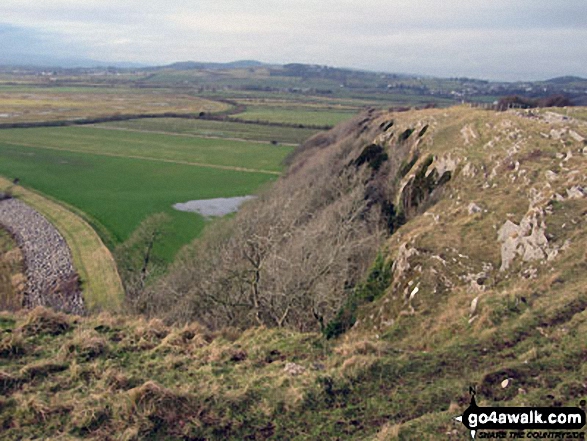
More Photographs & Pictures of views from, on or of Humphrey Head
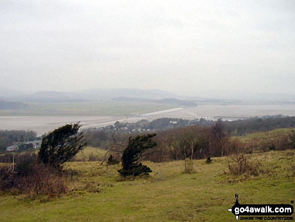
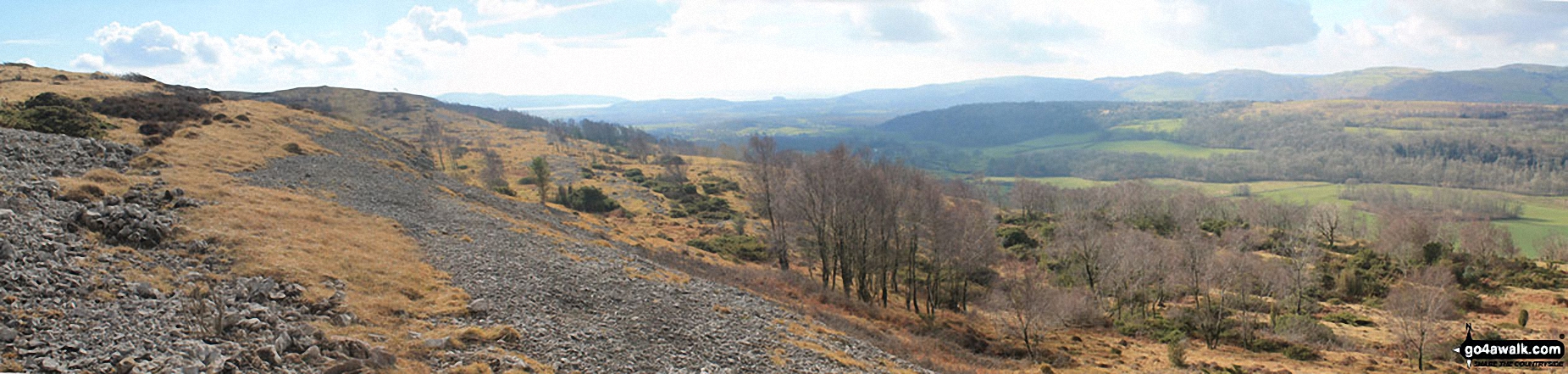
Arnside Knott, Humphrey Head, Dixon Heights (Newton Fell) and Saskills (Newton Fell) from the Whitbarrow Scar ridge
Send us your photographs and pictures on, of, or from Humphrey Head
If you would like to add your walk photographs and pictures featuring views from, on or of Humphrey Head to this page, please send them as email attachments (configured for any computer) along with your name to:
and we shall do our best to publish them.
(Guide Resolution = 300dpi. At least = 660pixels (wide) x 440 pixels (high).)

You can also submit photos via our Facebook Page.
NB. Please indicate where each photo was taken and whether you wish us to credit your photos with a Username or your First Name/Last Name.
Not familiar with this top?


