All The Mountains, Peaks, Tops and Hills in Scottish Region 13: The Achnashellach and Torridon Hills as a detailed list
Scottish Region 13: The Achnashellach and Torridon Hills region is the area enclosed by an imaginary line connecting:
- Loch Ewe to Achnasheen via Loch Maree, Taagan, Kinlochewe and Loch a' Chroisg to the North East
- Achnasheen to Kyle of Lochalsh via the A890. Achnashellach Station, Glen Carron, Strathcarron, Loch Carron and Inner Sound to the South East
- Kyle of Lochalsh to Loch Ewe via Inner Sound the West
If you include all the Munros, the Corbetts, the Grahams, the Donalds, the Murdos, the Marilyns, the Bridgets (Hills) and all the Mountains, Tops, Peaks and Hills with a Trig Point on them there are 49 tops to climb, bag & conquer and the highest point is Spidean a' Choire Leith (Liathach) at 1,055m (3,463ft).
To see all Mountains, Peaks, Tops and Hills displayed in different ways - see the options in the left-hand column and towards the bottom of this page.
![]() Your Personal Bagging Record for Scottish Region 13: The Achnashellach and Torridon Hills
Your Personal Bagging Record for Scottish Region 13: The Achnashellach and Torridon Hills
LOG ON and RELOAD this page to show which Mountains, Peaks, Tops and Hills you have already climbed, bagged & conquered [. . . more]
Page 1 of 2 Go to page: 1 2 |
See this list in: Alphabetical Order
| Height Order‡
To reverse the order select the link again.
Mountain, Peak, Top or Hill:
Bagged

![]()
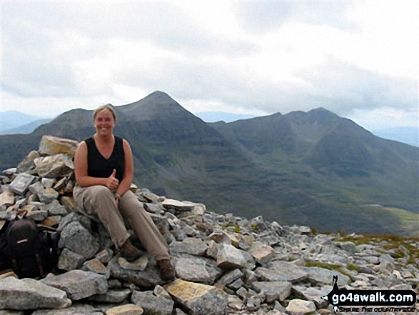
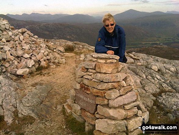
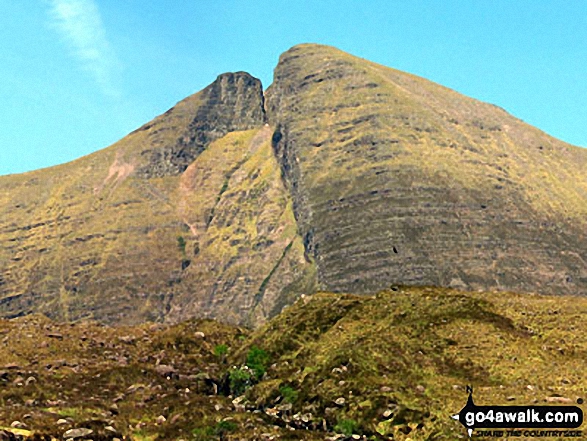
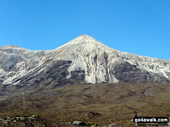
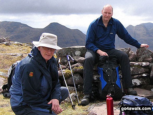
1. Spidean a' Choire Leith (Liathach)
1,055m (3,463ft)
Spidean a' Choire Leith (Liathach) is on interactive maps:
A go4awalk.com Peak Bagging Map and Hill Tick List featuring Spidean a' Choire Leith (Liathach) will be available soon. |

![]()
2. Mullach an Rathain (Liathach)
1,023m (3,357ft)
Mullach an Rathain (Liathach) is on interactive maps:
A go4awalk.com Peak Bagging Map and Hill Tick List featuring Mullach an Rathain (Liathach) will be available soon. |
![]()
3. Ruadh-stac Mor (Beinn Eighe)
1,010m (3,315ft)
Ruadh-stac Mor (Beinn Eighe) is on interactive maps:
A go4awalk.com Peak Bagging Map and Hill Tick List featuring Ruadh-stac Mor (Beinn Eighe) will be available soon. |
![]()
4. Spidean Coire nan Clach (Beinn Eighe)
993m (3,259ft)
Spidean Coire nan Clach (Beinn Eighe) is on interactive maps:
A go4awalk.com Peak Bagging Map and Hill Tick List featuring Spidean Coire nan Clach (Beinn Eighe) will be available soon. |
![]()
5. Sgurr Mhor (Beinn Alligin)
986m (3,236ft)
Sgurr Mhor (Beinn Alligin) is on interactive maps:
A go4awalk.com Peak Bagging Map and Hill Tick List featuring Sgurr Mhor (Beinn Alligin) will be available soon. |

![]()
6. Stob a' Coire Liath Mhor (Spidean a' Choire Leith)
983m (3,226ft)
Send it in and we'll publish it here.
Stob a' Coire Liath Mhor (Spidean a' Choire Leith) is on interactive maps:
A go4awalk.com Peak Bagging Map and Hill Tick List featuring Stob a' Coire Liath Mhor (Spidean a' Choire Leith) will be available soon. |
![]()
7. Sail Mhor (Beinn Eighe)
980m (3,216ft)
Send it in and we'll publish it here.
Sail Mhor (Beinn Eighe) is on interactive maps:
A go4awalk.com Peak Bagging Map and Hill Tick List featuring Sail Mhor (Beinn Eighe) will be available soon. |
![]()
8. Coinneach Mhor (Beinn Eighe)
976m (3,203ft)
Send it in and we'll publish it here.
Coinneach Mhor (Beinn Eighe) is on interactive maps:
A go4awalk.com Peak Bagging Map and Hill Tick List featuring Coinneach Mhor (Beinn Eighe) will be available soon. |
![]()
9. Sgurr Ban (Beinn Eighe)
970m (3,184ft)
Sgurr Ban (Beinn Eighe) is on interactive maps:
A go4awalk.com Peak Bagging Map and Hill Tick List featuring Sgurr Ban (Beinn Eighe) will be available soon. |
![]()
10. Sgurr nan Fhir Duibhe (Beinn Eighe)
963m (3,161ft)
Send it in and we'll publish it here.
Sgurr nan Fhir Duibhe (Beinn Eighe) is on interactive maps:
A go4awalk.com Peak Bagging Map and Hill Tick List featuring Sgurr nan Fhir Duibhe (Beinn Eighe) will be available soon. |
![]()
11. Sgorr Ruadh
962m (3,157ft)
Sgorr Ruadh is on interactive maps:
A go4awalk.com Peak Bagging Map and Hill Tick List featuring Sgorr Ruadh will be available soon. |
![]()
12. Meall Dearg (Spidean a' Choire Leith)
955m (3,134ft)
Send it in and we'll publish it here.
Meall Dearg (Spidean a' Choire Leith) is on interactive maps:
A go4awalk.com Peak Bagging Map and Hill Tick List featuring Meall Dearg (Spidean a' Choire Leith) will be available soon. |
![]()
13. Maol Chean-dearg
933m (3,062ft)
Maol Chean-dearg is on interactive maps:
A go4awalk.com Peak Bagging Map and Hill Tick List featuring Maol Chean-dearg will be available soon. |
![]()
14. Am Fasarinen (Spidean a' Choire Leith)
927m (3,042ft)
Send it in and we'll publish it here.
Am Fasarinen (Spidean a' Choire Leith) is on interactive maps:
A go4awalk.com Peak Bagging Map and Hill Tick List featuring Am Fasarinen (Spidean a' Choire Leith) will be available soon. |
![]()
15. Beinn Liath Mhor
926m (3,039ft)
Beinn Liath Mhor is on interactive maps:
A go4awalk.com Peak Bagging Map and Hill Tick List featuring Beinn Liath Mhor will be available soon. |
![]()
16. Tom na Gruagaich (Beinn Alligin)
922m (3,026ft)
Tom na Gruagaich (Beinn Alligin) is on interactive maps:
A go4awalk.com Peak Bagging Map and Hill Tick List featuring Tom na Gruagaich (Beinn Alligin) will be available soon. |
![]()
17. Stuc a' Choire Dhuibh Bhig (Spidean a'Choire Leith)
915m (3,003ft)
Stuc a' Choire Dhuibh Bhig (Spidean a'Choire Leith) is on interactive maps:
A go4awalk.com Peak Bagging Map and Hill Tick List featuring Stuc a' Choire Dhuibh Bhig (Spidean a'Choire Leith) will be available soon. |

![]()
18. Beinn Dearg (Torridon)
914m (2,998ft)
Beinn Dearg (Torridon) is on interactive maps:
A go4awalk.com Peak Bagging Map and Hill Tick List featuring Beinn Dearg (Torridon) will be available soon. |

![]()
19. Fuar Tholl
907m (2,976ft)
Fuar Tholl is on interactive maps:
A go4awalk.com Peak Bagging Map and Hill Tick List featuring Fuar Tholl will be available soon. |
![]()
20. Beinn Damh
903m (2,963ft)
Beinn Damh is on interactive maps:
A go4awalk.com Peak Bagging Map and Hill Tick List featuring Beinn Damh will be available soon. |
![]()
21. Beinn Bhan (Loch Kishorn)
896m (2,941ft)
Send it in and we'll publish it here.
Beinn Bhan (Loch Kishorn) is on interactive maps:
A go4awalk.com Peak Bagging Map and Hill Tick List featuring Beinn Bhan (Loch Kishorn) will be available soon. |
![]()
22. Ruadh-stac Beag (Beinn Eighe)
896m (2,941ft)
Send it in and we'll publish it here.
Ruadh-stac Beag (Beinn Eighe) is on interactive maps:
A go4awalk.com Peak Bagging Map and Hill Tick List featuring Ruadh-stac Beag (Beinn Eighe) will be available soon. |
![]()
23. An Ruadh-stac
890m (2,921ft)
An Ruadh-stac is on interactive maps:
A go4awalk.com Peak Bagging Map and Hill Tick List featuring An Ruadh-stac will be available soon. |
![]()
24. Meall a' Ghiubhais
887m (2,911ft)
Meall a' Ghiubhais is on interactive maps:
A go4awalk.com Peak Bagging Map and Hill Tick List featuring Meall a' Ghiubhais will be available soon. |
![]()
25. Baosbheinn
875m (2,872ft)
Baosbheinn is on interactive maps:
A go4awalk.com Peak Bagging Map and Hill Tick List featuring Baosbheinn will be available soon. |
![]()
26. Sgorr nan Lochan Uaine
871m (2,859ft)
Send it in and we'll publish it here.
Sgorr nan Lochan Uaine is on interactive maps:
A go4awalk.com Peak Bagging Map and Hill Tick List featuring Sgorr nan Lochan Uaine will be available soon. |
![]()
27. Beinn an Eoin (Flowerdale Forest)
855m (2,806ft)
Beinn an Eoin (Flowerdale Forest) is on interactive maps:
A go4awalk.com Peak Bagging Map and Hill Tick List featuring Beinn an Eoin (Flowerdale Forest) will be available soon. |
![]()
28. Sgurr a' Chaorachain (Loch Kishorn)
792m (2,599ft)
Send it in and we'll publish it here.
Sgurr a' Chaorachain (Loch Kishorn) is on interactive maps:
A go4awalk.com Peak Bagging Map and Hill Tick List featuring Sgurr a' Chaorachain (Loch Kishorn) will be available soon. |
![]()
29. Sgurr Dubh (Coulin Forest)
782m (2,567ft)
Send it in and we'll publish it here.
Sgurr Dubh (Coulin Forest) is on interactive maps:
A go4awalk.com Peak Bagging Map and Hill Tick List featuring Sgurr Dubh (Coulin Forest) will be available soon. |

![]()
30. Beinn na h-Eaglaise (Ben-Damph Forest)
736m (2,416ft)
Beinn na h-Eaglaise (Ben-Damph Forest) is on interactive maps:
A go4awalk.com Peak Bagging Map and Hill Tick List featuring Beinn na h-Eaglaise (Ben-Damph Forest) will be available soon. |
Page 1 of 2 Go to page: 1 2 |
View all 49 Mountains, Peaks, Tops and Hills in Scottish Region 13: The Achnashellach and Torridon Hills:
- On an Interactive Google Map (loads faster)
- On an Interactive Google Map with a list of tops below it (makes it easier to locate a particular top)
- On a Detailed List in:
Alphabetical Order | Height Order - On one page with 'yet-to-be-bagged' listed 1st & then 'already-bagged' tops listed 2nd in:
Alphabetical Order | Height Order (must be logged on) - On one page with 'already-bagged' tops listed 1st & then 'yet-to-be-bagged' tops listed 2nd in:
Alphabetical Order | Height Order (must be logged on)
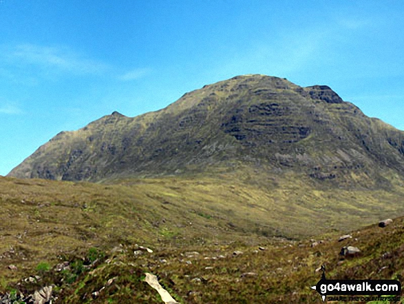
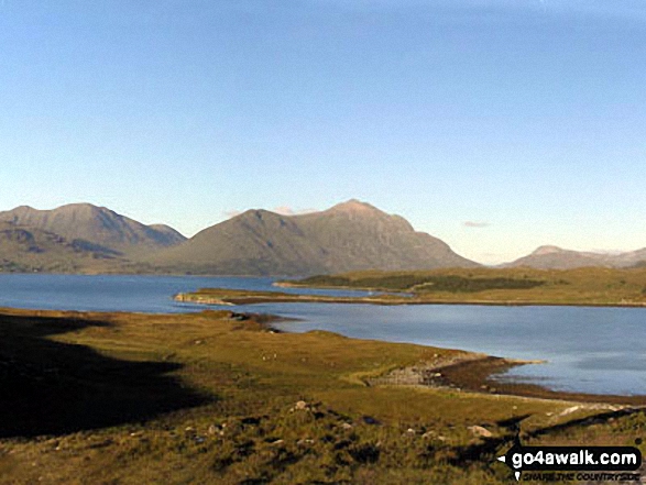 Spidean a' Choire Leith (Liathach) in The Achnashellach and Torridon Hills
Photo: Lovat Fraser
Is there a Mountain, Peak, Top or Hill missing from the above google map or list?
Let us know an we will add it to our database.

To contribute to go4awalk.com or to contact us about anything at all - see Talk To Us.
For help see Help.
go4awalk.com and go4awalk.co.uk are registered trademarks of TMDH Limited.
Copyright © 2000-2025 TMDH Limited. All rights reserved.
Copyright Terms & Conditions Privacy Statement
A - Z Walks Home Log On/Accounts Photo Gallery Walk Ideas and Collections Fell Facts Hill Skills Walking Questions and Answers Your Stories News Competitions Product Reviews/Gear Tests Walking Gear Guides Peaks and Mountains Peak Bagging Find New Walking Friends Camping GPS Waypoints for Walking Contents Walk Search Talk To Us go4awalk.com Help Free Example Walks Newsletter


