A Google Peak Bagging Map of The Ben Lawers Area of Scottish Region 2: The River Tay to Rannoch Moor a fully detailed list
The Ben Lawers Area of Scottish Region 2: The River Tay to Rannoch Moor region is the area enclosed by an imaginary line connecting:
- Bridge of Balgie to Aberfeldy via Glen Lyon to the North
- Aberfeldy to Milton Morenish via the A827 and Loch Tay to the South East
- Milton Morenish to Bridge of Balgie via a minor road & Lochan na Lairige to the West
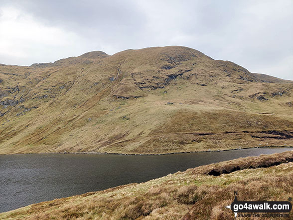
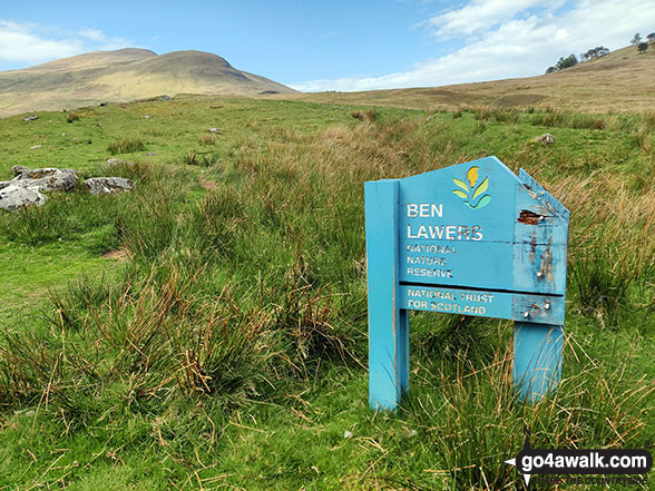
If you include just the Munros and the Murdos there are 7 tops to climb, bag & conquer and the highest point is Ben Lawers at 1,214m (3,984ft).
To see these Mountains, Peaks, Tops and Hills displayed in different ways - see the options in the left-hand column and towards the bottom of this page.
![]() Your Personal Bagging Record for The Ben Lawers Area of Scottish Region 2: The River Tay to Rannoch Moor
Your Personal Bagging Record for The Ben Lawers Area of Scottish Region 2: The River Tay to Rannoch Moor
LOG ON and RELOAD this page to show which Mountains, Peaks, Tops and Hills you have already climbed, bagged & conquered [. . . more details]
See this list in: Alphabetical Order‡
| Height Order
To reverse the order select the link again.
Mountain, Peak, Top or Hill:
Bagged

![]()
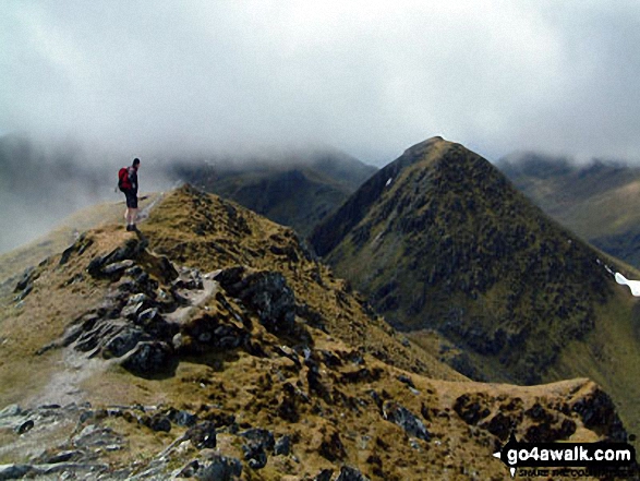
1. An Stuc (Ben Lawers)
1,118m (3,669ft)
An Stuc (Ben Lawers) is on interactive maps:
A downloadable go4awalk.com PDF Peak Bagging Map featuring An Stuc (Ben Lawers) will be available soon. |
![]()
2. Beinn Ghlas (Breadalbane)
1,103m (3,620ft)
Beinn Ghlas (Breadalbane) is on interactive maps:
A downloadable go4awalk.com PDF Peak Bagging Map featuring Beinn Ghlas (Breadalbane) will be available soon. |
![]()
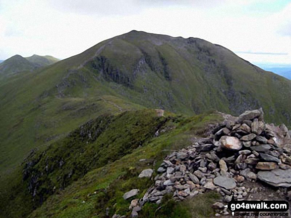
3. Ben Lawers
1,214m (3,984ft)
Ben Lawers is on interactive maps:
A downloadable go4awalk.com PDF Peak Bagging Map featuring Ben Lawers will be available soon. |
![]()
4. Meall a' Choire Leith
926m (3,039ft)
Send it in and we'll publish it here.
Meall a' Choire Leith is on interactive maps:
A downloadable go4awalk.com PDF Peak Bagging Map featuring Meall a' Choire Leith will be available soon. |
![]()
5. Meall Corranaich
1,069m (3,508ft)
Meall Corranaich is on interactive maps:
A downloadable go4awalk.com PDF Peak Bagging Map featuring Meall Corranaich will be available soon. |
![]()
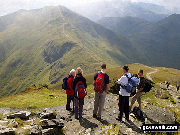
6. Meall Garbh (Loch Tay)
1,123m (3,685ft)
Meall Garbh (Loch Tay) is on interactive maps:
A downloadable go4awalk.com PDF Peak Bagging Map featuring Meall Garbh (Loch Tay) will be available soon. |
![]()
7. Meall Greigh
1,001m (3,285ft)
Meall Greigh is on interactive maps:
A downloadable go4awalk.com PDF Peak Bagging Map featuring Meall Greigh will be available soon. |
View these 7 tops:
Is there a Mountain, Peak, Top or Hill missing from the above google map or list?
Let us know an we will add it to our database.
To contribute to go4awalk.com or to contact us about anything at all - see Talk To Us.
For help see Help.
go4awalk.com and go4awalk.co.uk are registered trademarks of TMDH Limited.
Copyright © 2000-2026 TMDH Limited. All rights reserved.
Copyright Terms & Conditions Privacy Statement
A - Z Walks Home Log On/Accounts Photo Gallery Walk Ideas and Collections Fell Facts Hill Skills Walking Questions and Answers Your Stories News Competitions Product Reviews/Gear Tests Walking Gear Guides Peaks and Mountains Peak Bagging Find New Walking Friends Camping GPS Waypoints for Walking Contents Walk Search Talk To Us go4awalk.com Help Free Example Walks Newsletter