The Carneddau area of Snowdonia National Park - a fully detailed list of all the Mountains, Peaks, Tops and Hills
The Carneddau area of Snowdonia National Park in Gwynedd is enclosed by:
- The edge of the Snowdonia National Park to the West, North and East
- The A5 via Nant Ffrancon, Llyn Ogwen, Nant y Benglog & Betws-y-Coed to the South
If you include just the Mountains (Hewitts) and the Nuttalls there are 22 tops to climb, bag & conquer and the highest point is Carnedd Llewelyn at 1,064m (3,492ft).
To see these Mountains, Peaks, Tops and Hills displayed in different ways - see the options in the left-hand column and towards the bottom of this page.
![]() Your Personal Bagging Record for The Carneddau area of Snowdonia
Your Personal Bagging Record for The Carneddau area of Snowdonia
LOG ON and RELOAD this page to show which Mountains, Peaks, Tops and Hills you have already climbed, bagged & conquered [. . . more details]
See this list in: Alphabetical Order
| Height Order‡
To reverse the order select the link again.
Mountain, Peak, Top or Hill:
Bagged

![]()
1. Carnedd Llewelyn
1,064m (3,492ft)
Carnedd Llewelyn is on interactive maps:
Carnedd Llewelyn is on downloadable PDF you can Print or Save to your Phone: |
![]()
2. Carnedd Dafydd
1,040m (3,413ft)
Carnedd Dafydd is on interactive maps:
Carnedd Dafydd is on downloadable PDF you can Print or Save to your Phone: |
![]()
3. Pen yr Ole Wen
978m (3,210ft)
Pen yr Ole Wen is on interactive maps:
Pen yr Ole Wen is on downloadable PDF you can Print or Save to your Phone: |
![]()
4. Foel Grach
976m (3,203ft)
Foel Grach is on interactive maps:
Foel Grach is on downloadable PDF you can Print or Save to your Phone: |
![]()
5. Yr Elen
962m (3,157ft)
Yr Elen is on interactive maps:
Yr Elen is on downloadable PDF you can Print or Save to your Phone: |
![]()
6. Foel-fras (Carneddau)
942m (3,091ft)
Foel-fras (Carneddau) is on interactive maps:
Foel-fras (Carneddau) is on downloadable PDF you can Print or Save to your Phone: |
![]()
7. Carnedd Gwenllian (Carnedd Uchaf)
926m (3,039ft)
Carnedd Gwenllian (Carnedd Uchaf) is on interactive maps:
Carnedd Gwenllian (Carnedd Uchaf) is on downloadable PDF you can Print or Save to your Phone: |
![]()
8. Llwytmor
849m (2,786ft)
Llwytmor is on interactive maps:
Llwytmor is on downloadable PDF you can Print or Save to your Phone: |
![]()
9. Pen yr Helgi Du
833m (2,734ft)
Pen yr Helgi Du is on interactive maps:
Pen yr Helgi Du is on downloadable PDF you can Print or Save to your Phone: |

![]()
10. Bera Bach
807m (2,649ft)
Bera Bach is on interactive maps:
Bera Bach is on downloadable PDF you can Print or Save to your Phone: |
![]()
11. Foel Meirch
800m (2,625ft)
Foel Meirch is on interactive maps:
Foel Meirch is on downloadable PDF you can Print or Save to your Phone: |
![]()
12. Pen Llithrig y Wrach
799m (2,622ft)
Pen Llithrig y Wrach is on interactive maps:
Pen Llithrig y Wrach is on downloadable PDF you can Print or Save to your Phone: |
![]()
13. Bera Mawr
794m (2,605ft)
Bera Mawr is on interactive maps:
Bera Mawr is on downloadable PDF you can Print or Save to your Phone: |
![]()
14. Drum (Carneddau)
771m (2,530ft)
Drum (Carneddau) is on interactive maps:
Drum (Carneddau) is on downloadable PDF you can Print or Save to your Phone: |
![]()
15. Drosgl
758m (2,488ft)
Drosgl is on interactive maps:
Drosgl is on downloadable PDF you can Print or Save to your Phone: |
![]()
16. Craig Eigiau
735m (2,412ft)
Craig Eigiau is on interactive maps:
Craig Eigiau is on downloadable PDF you can Print or Save to your Phone: |
![]()
17. Creigiau Gleision
678m (2,225ft)
Creigiau Gleision is on interactive maps:
Creigiau Gleision is on downloadable PDF you can Print or Save to your Phone: |
![]()
18. Gyrn Wigau
643m (2,110ft)
Gyrn Wigau is on interactive maps:
Gyrn Wigau is on downloadable PDF you can Print or Save to your Phone: |
![]()
19. Creigiau Gleision (North Top)
631m (2,072ft)
Creigiau Gleision (North Top) is on interactive maps:
Creigiau Gleision (North Top) is on downloadable PDF you can Print or Save to your Phone: |
![]()
20. Pen y Castell
623m (2,045ft)
Pen y Castell is on interactive maps:
Pen y Castell is on downloadable PDF you can Print or Save to your Phone: |
![]()
21. Craiglwyn
623m (2,044ft)
Craiglwyn is on interactive maps:
Craiglwyn is on downloadable PDF you can Print or Save to your Phone: |
![]()
22. Tal y Fan
610m (2,002ft)
Tal y Fan is on interactive maps:
Tal y Fan is on downloadable PDF you can Print or Save to your Phone: |
View these 22 Mountains, Peaks, Tops and Hills:
- On a Downloadable PDF you can Print or Save to your Phone#
- On an Interactive Google Map with a list of tops below it.
(makes it easier to locate a particular top) - On a Detailed List in:
Alphabetical Order | Height Order - On one page with 'yet-to-be-bagged' listed 1st
& then 'already-bagged' tops listed 2nd in:
Alphabetical Order | Height Order - On one page with 'already-bagged' tops listed 1st
& then 'yet-to-be-bagged' tops listed 2nd in:
Alphabetical Order | Height Order
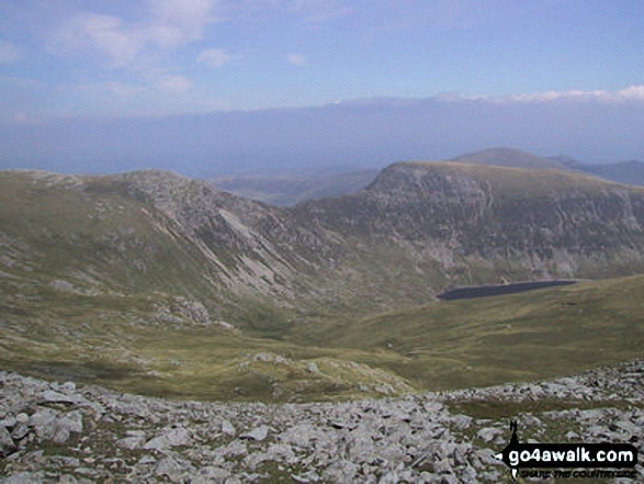
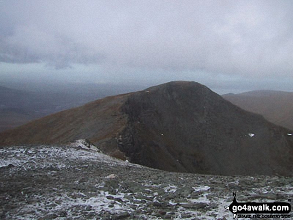
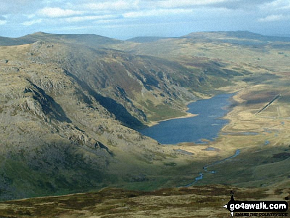
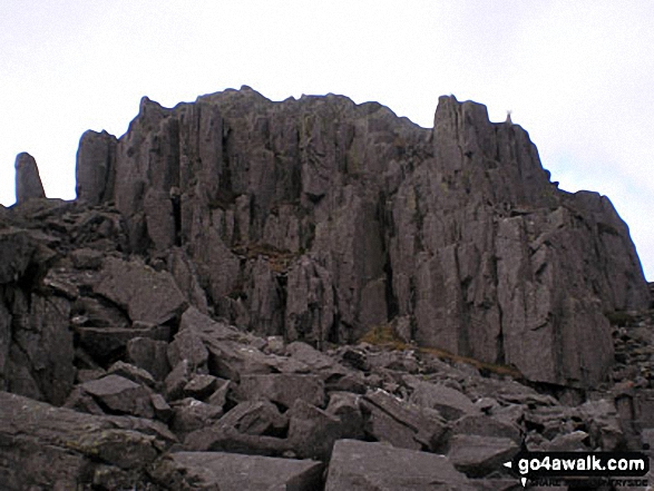
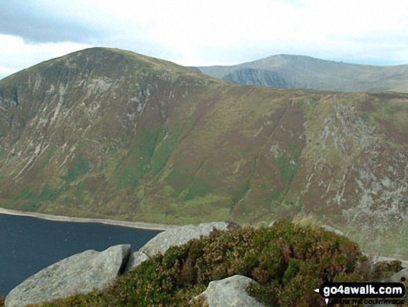
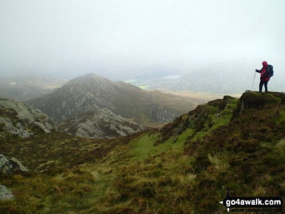
 Carnedd Llewelyn in The Carneddau area of Snowdonia
Photo: Roger Maloney
# Whether you print a copy or download it to your phone, this Peak Baggers' Map will prove incredibly useful if you want to know what's what when you are up in the mountains and cannot get a phone signal.
Is there a Mountain, Peak, Top or Hill missing from the above google map or list?
Let us know an we will add it to our database.
To contribute to go4awalk.com or to contact us about anything at all - see Talk To Us.
For help see Help.
go4awalk.com and go4awalk.co.uk are registered trademarks of TMDH Limited.
Copyright © 2000-2026 TMDH Limited. All rights reserved.
Copyright Terms & Conditions Privacy Statement
A - Z Walks Home Log On/Accounts Photo Gallery Walk Ideas and Collections Fell Facts Hill Skills Walking Questions and Answers Your Stories News Competitions Product Reviews/Gear Tests Walking Gear Guides Peaks and Mountains Peak Bagging Find New Walking Friends Camping GPS Waypoints for Walking Contents Walk Search Talk To Us go4awalk.com Help Free Example Walks Newsletter