The North West region of England - a fully detailed list of all the Mountains, Peaks, Tops and Hills (Page 15 of 16)
The North West region of England comprises the traditional counties of Cheshire, Cumbria, Greater Manchester, Lancashire and Mersyside and includes The Lake District National Park, The Forest of Bowland, parts of The Yorkshire Dales National Park and parts of the Peak District National Park.
If you include all the Mountains (Hewitts), the Deweys, the Nuttalls, the Marilyns, the Bridgets (Hills) and all the Mountains, Tops, Peaks and Hills with a Trig Point on them there are 464 tops to climb, bag & conquer and the highest point is Scafell Pike at 978m (3,210ft).
To see these Mountains, Peaks, Tops and Hills displayed in different ways - see the options in the left-hand column and towards the bottom of this page.
![]() Your Personal Bagging Record for North West of
Your Personal Bagging Record for North West of
LOG ON and RELOAD this page to show which Mountains, Peaks, Tops and Hills you have already climbed, bagged & conquered [. . . more details]
See this list in: Alphabetical Order
| Height Order‡
To reverse the order select the link again.
Mountain, Peak, Top or Hill:
Bagged

![]()
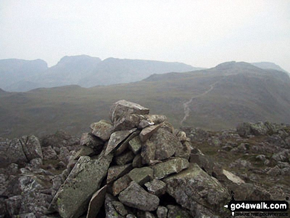
421. High Stile
807m (2,646ft)
High Stile is on interactive maps:
High Stile is on downloadable PDF you can Print or Save to your Phone: *Version including the walk routes marked on it that you need to follow to Walk all 214 Wainwrights in just 59 walks. |

![]()
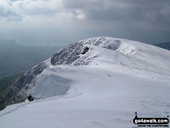
422. Lingmell
807m (2,648ft)
Lingmell is on interactive maps:
Lingmell is on downloadable PDF you can Print or Save to your Phone: *Version including the walk routes marked on it that you need to follow to Walk all 214 Wainwrights in just 59 walks. |
![]()
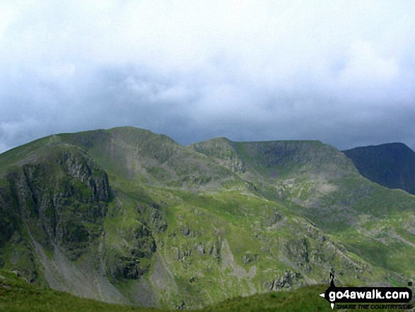
423. Shelter Crags
815m (2,675ft)
Shelter Crags is on interactive maps:
Shelter Crags is on downloadable PDF you can Print or Save to your Phone: *Version including the walk routes marked on it that you need to follow to Walk all 214 Wainwrights in just 59 walks. |

![]()
424. Steeple
819m (2,688ft)
Steeple is on interactive maps:
Steeple is on downloadable PDF you can Print or Save to your Phone: *Version including the walk routes marked on it that you need to follow to Walk all 214 Wainwrights in just 59 walks. |
![]()
425. Hart Crag
822m (2,698ft)
Hart Crag is on interactive maps:
Hart Crag is on downloadable PDF you can Print or Save to your Phone: *Version including the walk routes marked on it that you need to follow to Walk all 214 Wainwrights in just 59 walks. |
![]()
426. Red Pike (Wasdale)
826m (2,711ft)
Red Pike (Wasdale) is on interactive maps:
Red Pike (Wasdale) is on downloadable PDF you can Print or Save to your Phone: *Version including the walk routes marked on it that you need to follow to Walk all 214 Wainwrights in just 59 walks. |
![]()
427. Black Crag (Pillar)
828m (2,717ft)
Black Crag (Pillar) is on interactive maps:
Black Crag (Pillar) is on downloadable PDF you can Print or Save to your Phone: *Version including the walk routes marked on it that you need to follow to Walk all 214 Wainwrights in just 59 walks. |

![]()
428. High Street
828m (2,717ft)
High Street is on interactive maps:
High Street is on downloadable PDF you can Print or Save to your Phone: *Version including the walk routes marked on it that you need to follow to Walk all 214 Wainwrights in just 59 walks. |
![]()
429. Crinkle Crags (South Top)
834m (2,737ft)
Crinkle Crags (South Top) is on interactive maps:
Crinkle Crags (South Top) is on downloadable PDF you can Print or Save to your Phone: *Version including the walk routes marked on it that you need to follow to Walk all 214 Wainwrights in just 59 walks. |

![]()
430. Crag Hill (Eel Crag)
839m (2,753ft)
Crag Hill (Eel Crag) is on interactive maps:
Crag Hill (Eel Crag) is on downloadable PDF you can Print or Save to your Phone: *Version including the walk routes marked on it that you need to follow to Walk all 214 Wainwrights in just 59 walks. |
![]()
431. Scoat Fell (Little Scoat Fell)
841m (2,759ft)
Scoat Fell (Little Scoat Fell) is on interactive maps:
Scoat Fell (Little Scoat Fell) is on downloadable PDF you can Print or Save to your Phone: *Version including the walk routes marked on it that you need to follow to Walk all 214 Wainwrights in just 59 walks. |
![]()
432. St Sunday Crag
841m (2,760ft)
St Sunday Crag is on interactive maps:
St Sunday Crag is on downloadable PDF you can Print or Save to your Phone: *Version including the walk routes marked on it that you need to follow to Walk all 214 Wainwrights in just 59 walks. |
![]()
433. Little Dun Fell
842m (2,763ft)
Little Dun Fell is on interactive maps:
Little Dun Fell is on downloadable PDF you can Print or Save to your Phone: |
![]()
434. Stybarrow Dodd
843m (2,767ft)
Stybarrow Dodd is on interactive maps:
Stybarrow Dodd is on downloadable PDF you can Print or Save to your Phone: *Version including the walk routes marked on it that you need to follow to Walk all 214 Wainwrights in just 59 walks. |
![]()
435. Atkinson Pike
845m (2,773ft)
Atkinson Pike is on interactive maps:
Atkinson Pike is on downloadable PDF you can Print or Save to your Phone: *Version including the walk routes marked on it that you need to follow to Walk all 214 Wainwrights in just 59 walks. |
![]()
436. Great Dun Fell
848m (2,783ft)
Great Dun Fell is on interactive maps:
Great Dun Fell is on downloadable PDF you can Print or Save to your Phone: |
![]()
437. Grasmoor
851m (2,794ft)
Grasmoor is on interactive maps:
Grasmoor is on downloadable PDF you can Print or Save to your Phone: *Version including the walk routes marked on it that you need to follow to Walk all 214 Wainwrights in just 59 walks. |
![]()
438. Gategill Fell Top
852m (2,796ft)
Gategill Fell Top is on interactive maps:
Gategill Fell Top is on downloadable PDF you can Print or Save to your Phone: *Version including the walk routes marked on it that you need to follow to Walk all 214 Wainwrights in just 59 walks. |
![]()
439. Great Dodd
857m (2,813ft)
Great Dodd is on interactive maps:
Great Dodd is on downloadable PDF you can Print or Save to your Phone: *Version including the walk routes marked on it that you need to follow to Walk all 214 Wainwrights in just 59 walks. |
![]()
440. Dollywaggon Pike
858m (2,816ft)
Dollywaggon Pike is on interactive maps:
Dollywaggon Pike is on downloadable PDF you can Print or Save to your Phone: *Version including the walk routes marked on it that you need to follow to Walk all 214 Wainwrights in just 59 walks. |
![]()
441. Crinkle Crags (Long Top)
859m (2,819ft)
Crinkle Crags (Long Top) is on interactive maps:
Crinkle Crags (Long Top) is on downloadable PDF you can Print or Save to your Phone: *Version including the walk routes marked on it that you need to follow to Walk all 214 Wainwrights in just 59 walks. |
![]()
442. Striding Edge (High Spying How)
863m (2,831ft)
Striding Edge (High Spying How) is on interactive maps:
Striding Edge (High Spying How) is on downloadable PDF you can Print or Save to your Phone: *Version including the walk routes marked on it that you need to follow to Walk all 214 Wainwrights in just 59 walks. |
![]()
443. White Side
863m (2,832ft)
White Side is on interactive maps:
White Side is on downloadable PDF you can Print or Save to your Phone: *Version including the walk routes marked on it that you need to follow to Walk all 214 Wainwrights in just 59 walks. |
![]()
444. Little Man (Skiddaw)
865m (2,839ft)
Little Man (Skiddaw) is on interactive maps:
Little Man (Skiddaw) is on downloadable PDF you can Print or Save to your Phone: *Version including the walk routes marked on it that you need to follow to Walk all 214 Wainwrights in just 59 walks. |
![]()
445. Bow Fell (Bowfell) (North Top)
866m (2,841ft)
Bow Fell (Bowfell) (North Top) is on interactive maps:
Bow Fell (Bowfell) (North Top) is on downloadable PDF you can Print or Save to your Phone: *Version including the walk routes marked on it that you need to follow to Walk all 214 Wainwrights in just 59 walks. |
![]()
446. Blencathra or Saddleback (Hallsfell Top)
868m (2,849ft)
Blencathra or Saddleback (Hallsfell Top) is on interactive maps:
Blencathra or Saddleback (Hallsfell Top) is on downloadable PDF you can Print or Save to your Phone: *Version including the walk routes marked on it that you need to follow to Walk all 214 Wainwrights in just 59 walks. |
![]()
447. Fairfield
873m (2,865ft)
Fairfield is on interactive maps:
Fairfield is on downloadable PDF you can Print or Save to your Phone: *Version including the walk routes marked on it that you need to follow to Walk all 214 Wainwrights in just 59 walks. |
![]()
448. Raise (Helvellyn)
883m (2,898ft)
Raise (Helvellyn) is on interactive maps:
Raise (Helvellyn) is on downloadable PDF you can Print or Save to your Phone: *Version including the walk routes marked on it that you need to follow to Walk all 214 Wainwrights in just 59 walks. |
![]()
449. Esk Pike
885m (2,904ft)
Esk Pike is on interactive maps:
Esk Pike is on downloadable PDF you can Print or Save to your Phone: *Version including the walk routes marked on it that you need to follow to Walk all 214 Wainwrights in just 59 walks. |
![]()
450. Catstye Cam
890m (2,921ft)
Catstye Cam is on interactive maps:
Catstye Cam is on downloadable PDF you can Print or Save to your Phone: *Version including the walk routes marked on it that you need to follow to Walk all 214 Wainwrights in just 59 walks. |
View these 464 Mountains, Peaks, Tops and Hills:
- On an Interactive Google Map (loads faster)
- On an Interactive Google Map with a list of tops below it.
(makes it easier to locate a particular top) - On a Detailed List in:
Alphabetical Order | Height Order - On one page with 'yet-to-be-bagged' listed 1st & then 'already-bagged' tops listed 2nd in:
Alphabetical Order | Height Order - On one page with 'already-bagged' tops listed 1st & then 'yet-to-be-bagged' tops listed 2nd in:
Alphabetical Order | Height Order
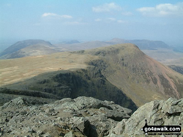
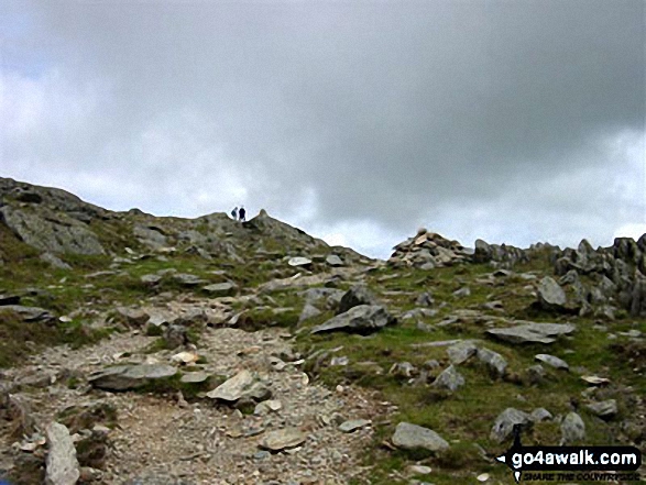
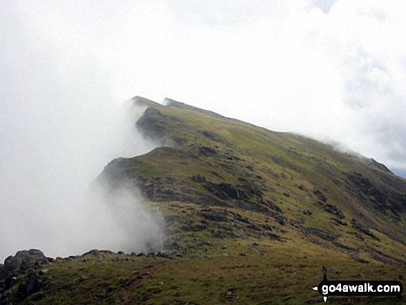
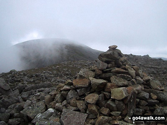
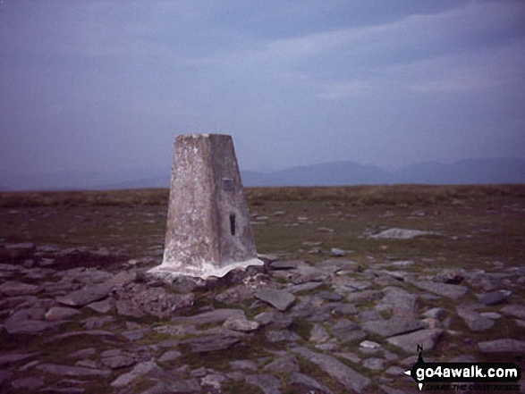
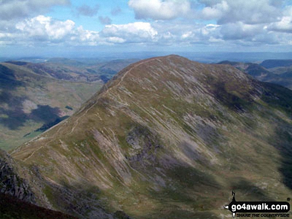
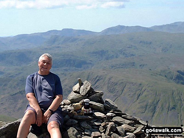
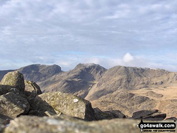
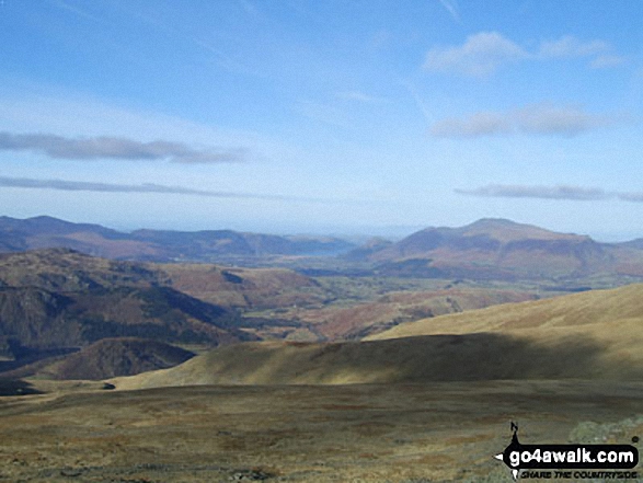
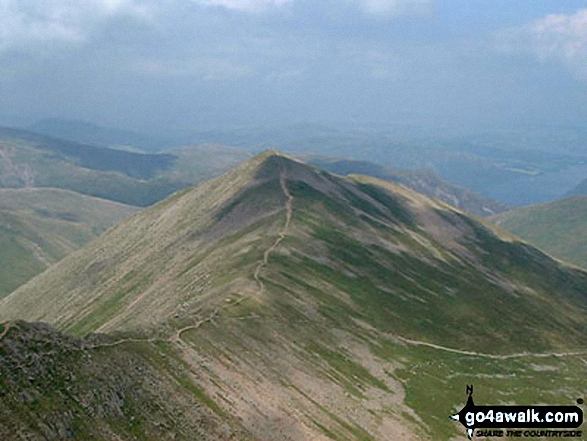
 The view from Scafell Pike in The Eastern Fells area of The Lake District
Photo: David Cochrane
Is there a Mountain, Peak, Top or Hill missing from the above google map or list?
Let us know an we will add it to our database.
To contribute to go4awalk.com or to contact us about anything at all - see Talk To Us.
For help see Help.
go4awalk.com and go4awalk.co.uk are registered trademarks of TMDH Limited.
Copyright © 2000-2025 TMDH Limited. All rights reserved.
Copyright Terms & Conditions Privacy Statement
A - Z Walks Home Log On/Accounts Photo Gallery Walk Ideas and Collections Fell Facts Hill Skills Walking Questions and Answers Your Stories News Competitions Product Reviews/Gear Tests Walking Gear Guides Peaks and Mountains Peak Bagging Find New Walking Friends Camping GPS Waypoints for Walking Contents Walk Search Talk To Us go4awalk.com Help Free Example Walks Newsletter


