The North West region of England - a fully detailed list of all the Mountains, Peaks, Tops and Hills (Page 7 of 16)
The North West region of England comprises the traditional counties of Cheshire, Cumbria, Greater Manchester, Lancashire and Mersyside and includes The Lake District National Park, The Forest of Bowland, parts of The Yorkshire Dales National Park and parts of the Peak District National Park.
If you include all the Mountains (Hewitts), the Deweys, the Nuttalls, the Marilyns, the Bridgets (Hills) and all the Mountains, Tops, Peaks and Hills with a Trig Point on them there are 464 tops to climb, bag & conquer and the highest point is Scafell Pike at 978m (3,210ft).
To see these Mountains, Peaks, Tops and Hills displayed in different ways - see the options in the left-hand column and towards the bottom of this page.
![]() Your Personal Bagging Record for North West of
Your Personal Bagging Record for North West of
LOG ON and RELOAD this page to show which Mountains, Peaks, Tops and Hills you have already climbed, bagged & conquered [. . . more details]
See this list in: Alphabetical Order‡
| Height Order
To reverse the order select the link again.
Mountain, Peak, Top or Hill:
Bagged

![]()
181. Longridge Fell (Spire Hill)
350m (1,149ft)
Longridge Fell (Spire Hill) is on interactive maps:
Longridge Fell (Spire Hill) is on downloadable PDF you can Print or Save to your Phone: |

![]()
182. Long Side
734m (2,409ft)
Long Side is on interactive maps:
Long Side is on downloadable PDF you can Print or Save to your Phone: *Version including the walk routes marked on it that you need to follow to Walk all 214 Wainwrights in just 59 walks. |

![]()
183. Long Man Hill
658m (2,159ft)
Long Man Hill is on interactive maps:
Long Man Hill is on downloadable PDF you can Print or Save to your Phone: |
![]()
184. Long Fell
623m (2,045ft)
Long Fell is on interactive maps:
Long Fell is on downloadable PDF you can Print or Save to your Phone: |
![]()
185. Loft Crag
681m (2,235ft)
Loft Crag is on interactive maps:
Loft Crag is on downloadable PDF you can Print or Save to your Phone: *Version including the walk routes marked on it that you need to follow to Walk all 214 Wainwrights in just 59 walks. |

![]()
186. Loadpot Hill
672m (2,205ft)
Loadpot Hill is on interactive maps:
Loadpot Hill is on downloadable PDF you can Print or Save to your Phone: *Version including the walk routes marked on it that you need to follow to Walk all 214 Wainwrights in just 59 walks. |

![]()
187. Little Wolf Stones (Keighley Moor)
443m (1,453ft)
Send it in and we'll publish it here.
Little Wolf Stones (Keighley Moor) is on interactive maps:
Little Wolf Stones (Keighley Moor) is on downloadable PDF you can Print or Save to your Phone: |
![]()
188. Little Stand
740m (2,429ft)
Little Stand is on interactive maps:
Little Stand is on downloadable PDF you can Print or Save to your Phone: *Version including the walk routes marked on it that you need to follow to Walk all 214 Wainwrights in just 59 walks. |

![]()
189. Little Mell Fell
505m (1,657ft)
Little Mell Fell is on interactive maps:
Little Mell Fell is on downloadable PDF you can Print or Save to your Phone: *Version including the walk routes marked on it that you need to follow to Walk all 214 Wainwrights in just 59 walks. |
![]()
190. Little Man (Skiddaw)
865m (2,839ft)
Little Man (Skiddaw) is on interactive maps:
Little Man (Skiddaw) is on downloadable PDF you can Print or Save to your Phone: *Version including the walk routes marked on it that you need to follow to Walk all 214 Wainwrights in just 59 walks. |
![]()
191. Little Hart Crag
637m (2,091ft)
Little Hart Crag is on interactive maps:
Little Hart Crag is on downloadable PDF you can Print or Save to your Phone: *Version including the walk routes marked on it that you need to follow to Walk all 214 Wainwrights in just 59 walks. |
![]()
192. Little Gowder Crag
733m (2,406ft)
Little Gowder Crag is on interactive maps:
Little Gowder Crag is on downloadable PDF you can Print or Save to your Phone: *Version including the walk routes marked on it that you need to follow to Walk all 214 Wainwrights in just 59 walks. |

![]()
193. Little Fell (Wild Boar Fell)
559m (1,834ft)
Send it in and we'll publish it here.
Little Fell (Wild Boar Fell) is on interactive maps:
Little Fell (Wild Boar Fell) is on downloadable PDF you can Print or Save to your Phone: |
![]()
194. Little Fell (Burton Fell)
748m (2,455ft)
Little Fell (Burton Fell) is on interactive maps:
Little Fell (Burton Fell) is on downloadable PDF you can Print or Save to your Phone: |
![]()
195. Little Dun Fell
842m (2,763ft)
Little Dun Fell is on interactive maps:
Little Dun Fell is on downloadable PDF you can Print or Save to your Phone: |
![]()
196. Little Dodd (Ennerdale)
590m (1,936ft)
Little Dodd (Ennerdale) is on interactive maps:
|

![]()
197. Lingmoor Fell
469m (1,539ft)
Lingmoor Fell is on interactive maps:
Lingmoor Fell is on downloadable PDF you can Print or Save to your Phone: *Version including the walk routes marked on it that you need to follow to Walk all 214 Wainwrights in just 59 walks. |
![]()
198. Lingmell
807m (2,648ft)
Lingmell is on interactive maps:
Lingmell is on downloadable PDF you can Print or Save to your Phone: *Version including the walk routes marked on it that you need to follow to Walk all 214 Wainwrights in just 59 walks. |
![]()
199. Linghaw
499m (1,637ft)
Linghaw is on interactive maps:
Linghaw is on downloadable PDF you can Print or Save to your Phone: |

![]()
200. Ling Fell (Wythop)
373m (1,224ft)
Ling Fell (Wythop) is on interactive maps:
Ling Fell (Wythop) is on downloadable PDF you can Print or Save to your Phone: *Version including the walk routes marked on it that you need to follow to Walk all 214 Wainwrights in just 59 walks. |
![]()
201. Latrigg
367m (1,204ft)
Latrigg is on interactive maps:
Latrigg is on downloadable PDF you can Print or Save to your Phone: *Version including the walk routes marked on it that you need to follow to Walk all 214 Wainwrights in just 59 walks. |

![]()
202. Lank Rigg
541m (1,775ft)
Lank Rigg is on interactive maps:
Lank Rigg is on downloadable PDF you can Print or Save to your Phone: *Version including the walk routes marked on it that you need to follow to Walk all 214 Wainwrights in just 59 walks. |
![]()
203. Langdale Knott
477m (1,566ft)
Langdale Knott is on interactive maps:
Langdale Knott is on downloadable PDF you can Print or Save to your Phone: |
![]()
204. Lang How
414m (1,359ft)
Lang How is on interactive maps:
Lang How is on downloadable PDF you can Print or Save to your Phone: *Version including the walk routes marked on it that you need to follow to Walk all 214 Wainwrights in just 59 walks. |
![]()
205. Lambrigg Fell
339m (1,112ft)
Lambrigg Fell is on interactive maps:
A downloadable go4awalk.com PDF Peak Bagging Map featuring Lambrigg Fell will be available soon. |
![]()
206. Ladyside Pike
703m (2,307ft)
Ladyside Pike is on interactive maps:
Ladyside Pike is on downloadable PDF you can Print or Save to your Phone: *Version including the walk routes marked on it that you need to follow to Walk all 214 Wainwrights in just 59 walks. |
![]()
207. Lad Law (Boulsworth Hill)
517m (1,697ft)
Lad Law (Boulsworth Hill) is on interactive maps:
Lad Law (Boulsworth Hill) is on downloadable PDF you can Print or Save to your Phone: |

![]()
208. Knoutberry Haw
675m (2,217ft)
Knoutberry Haw is on interactive maps:
Knoutberry Haw is on downloadable PDF you can Print or Save to your Phone: |

![]()
209. Knott Rigg
556m (1,825ft)
Knott Rigg is on interactive maps:
Knott Rigg is on downloadable PDF you can Print or Save to your Phone: *Version including the walk routes marked on it that you need to follow to Walk all 214 Wainwrights in just 59 walks. |

![]()
210. Knott (Uldale Fells)
710m (2,330ft)
Knott (Uldale Fells) is on interactive maps:
Knott (Uldale Fells) is on downloadable PDF you can Print or Save to your Phone: *Version including the walk routes marked on it that you need to follow to Walk all 214 Wainwrights in just 59 walks. |
View these 464 Mountains, Peaks, Tops and Hills:
- On an Interactive Google Map (loads faster)
- On an Interactive Google Map with a list of tops below it.
(makes it easier to locate a particular top) - On a Detailed List in:
Alphabetical Order | Height Order - On one page with 'yet-to-be-bagged' listed 1st & then 'already-bagged' tops listed 2nd in:
Alphabetical Order | Height Order - On one page with 'already-bagged' tops listed 1st & then 'yet-to-be-bagged' tops listed 2nd in:
Alphabetical Order | Height Order
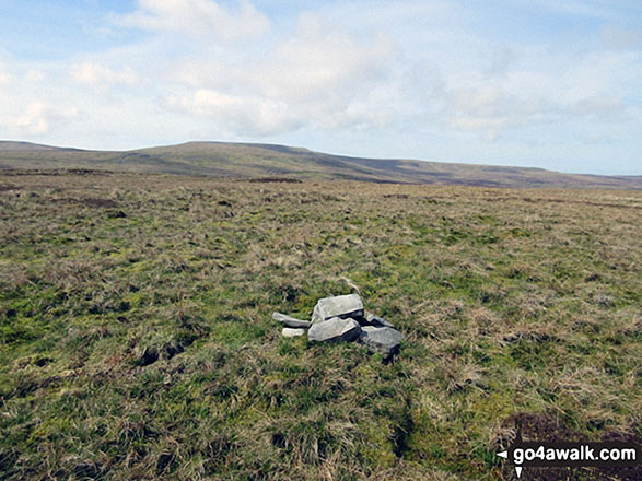
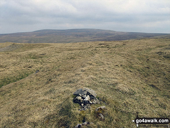
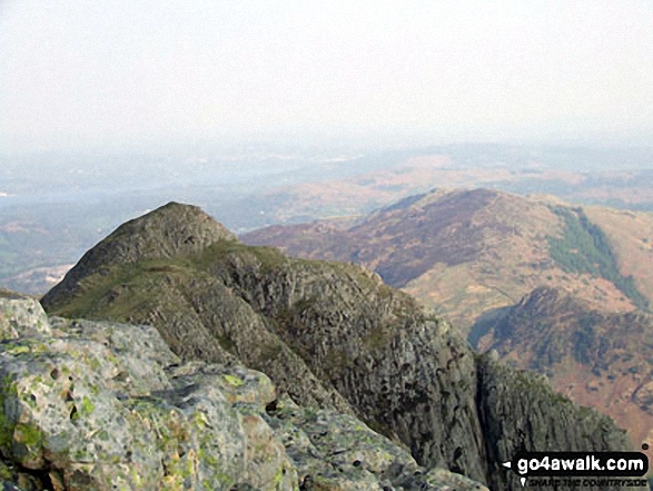
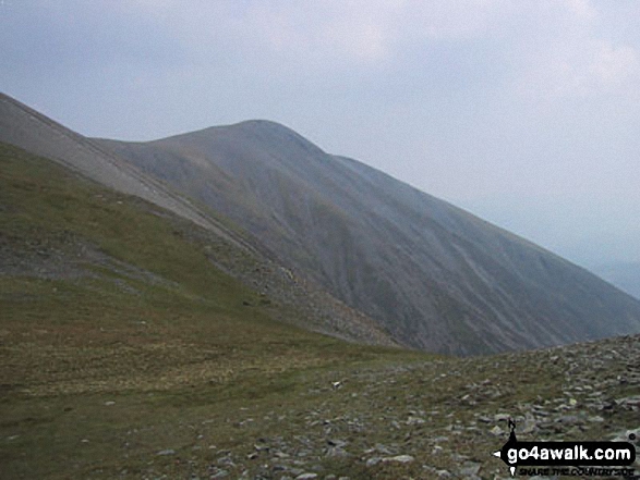
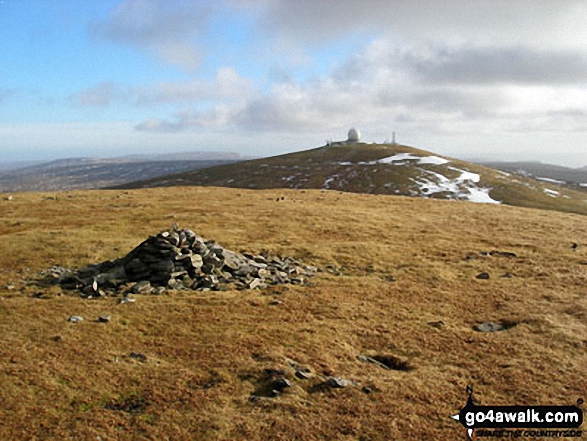
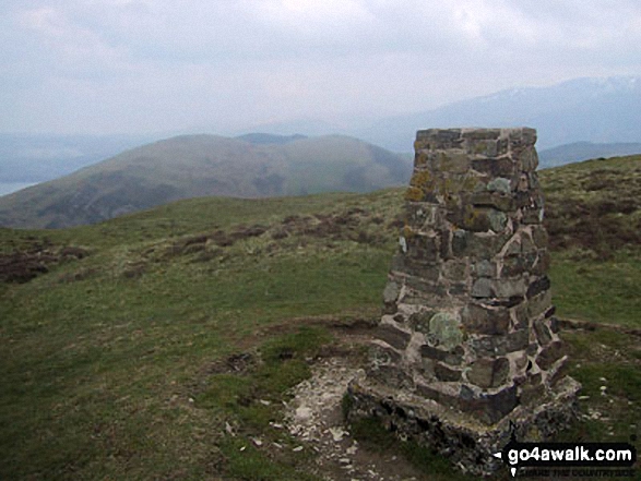
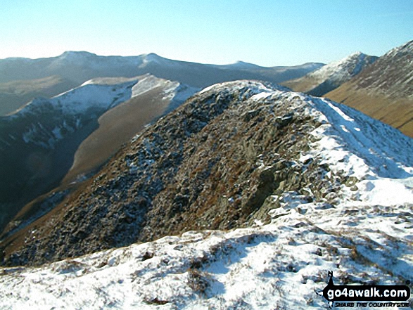
 The view from Scafell Pike in The Northern Fells area of The Lake District
Photo: David Cochrane
Is there a Mountain, Peak, Top or Hill missing from the above google map or list?
Let us know an we will add it to our database.

To contribute to go4awalk.com or to contact us about anything at all - see Talk To Us.
For help see Help.
go4awalk.com and go4awalk.co.uk are registered trademarks of TMDH Limited.
Copyright © 2000-2025 TMDH Limited. All rights reserved.
Copyright Terms & Conditions Privacy Statement
A - Z Walks Home Log On/Accounts Photo Gallery Walk Ideas and Collections Fell Facts Hill Skills Walking Questions and Answers Your Stories News Competitions Product Reviews/Gear Tests Walking Gear Guides Peaks and Mountains Peak Bagging Find New Walking Friends Camping GPS Waypoints for Walking Contents Walk Search Talk To Us go4awalk.com Help Free Example Walks Newsletter


