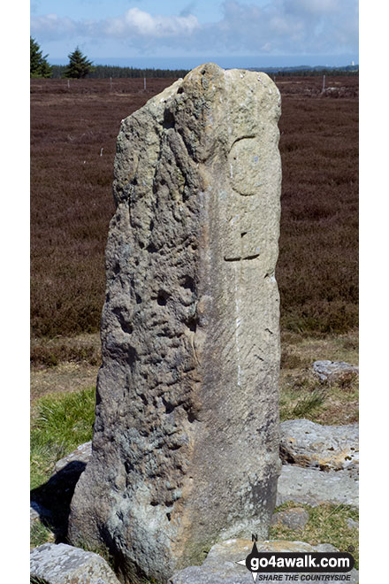
The Yorkshire region of England - a fully detailed list of all the Mountains, Peaks, Tops and Hills (Page 1 of 2)
The Yorkshire region of England comprises the traditional counties of East Riding of Yorkshire, North Yorkshire, South Yorkshire and West Yorkshire.
If you include all the Mountains (Hewitts), the Deweys, the Nuttalls, the Marilyns, the Bridgets (Hills) and all the Mountains, Tops, Peaks and Hills with a Trig Point on them there are 117 tops to climb, bag & conquer and the highest point is Whernside at 736m (2,416ft).
To see these Mountains, Peaks, Tops and Hills displayed in different ways - see the options in the left-hand column and towards the bottom of this page.
LOG ON and RELOAD this page to show which Mountains, Peaks, Tops and Hills you have already climbed, bagged & conquered [. . . more details]
Page 1 of 2 Go to page:
1 2 |
See this list in: Alphabetical Order‡
| Height Order
To reverse the order select the link again.
Mountain, Peak, Top or Hill:
Bagged
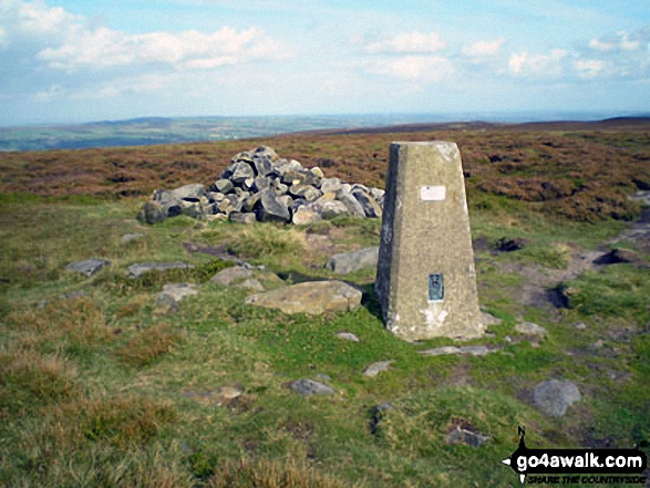
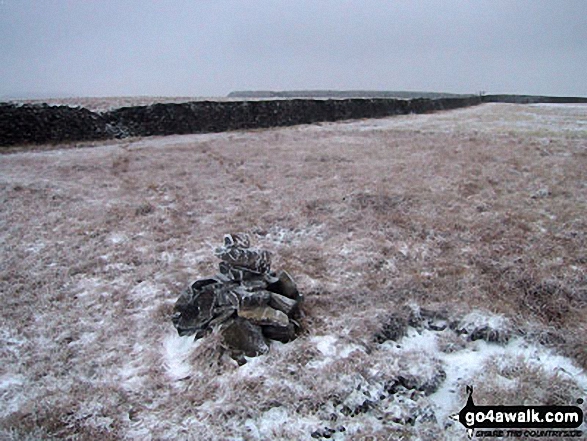
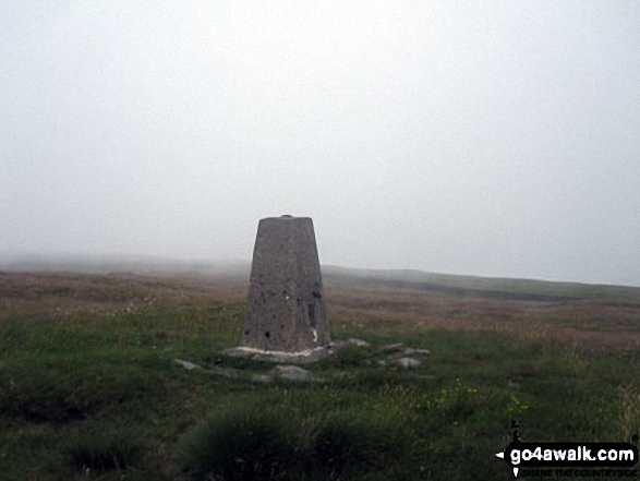
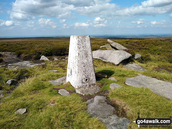
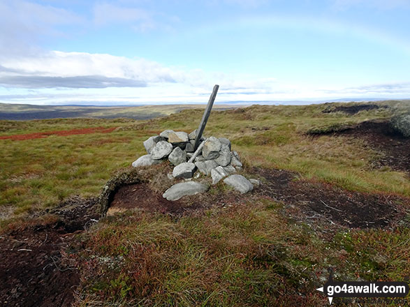
1. Yockenthwaite Moor
643m (2,110ft)
Mountain (149th in England, 255th in England & Wales)
Nuttall (197th in England, 345th in England & Wales)
OS Trig Point
To walk, climb & bag Yockenthwaite Moor use this easy-to-follow walk:
See the location of Yockenthwaite Moor and walks up it on a google MapYockenthwaite Moor is on interactive maps:
OS Explorer (Orange Covers): OL30
OS Landranger (Pink Covers): 98
Yockenthwaite Moor is on downloadable PDF you can Print or Save to your Phone:
|
2. Yearsley Cross
174m (571ft)
Bridget
OS Trig Point
We hope to have walks that climb & bag Yearsley Cross very soon
See the location of Yearsley Cross and walks up it on a google MapYearsley Cross is on interactive maps:
OS Explorer (Orange Covers): 300
OS Landranger (Pink Covers): 100
|
3. Woldside
596m (1,956ft)
Dewey (14th in England, 34th in England & Wales)
We hope to have walks that climb & bag Woldside very soon
See the location of Woldside and walks up it on a google MapWoldside is on interactive maps:
OS Explorer (Orange Covers): OL2 and
OL30
OS Landranger (Pink Covers): 98
Woldside is on downloadable PDF you can Print or Save to your Phone:
|
4. Withins Height
457m (1,500ft)
Bridget
OS Trig Point
We hope to have walks that climb & bag Withins Height very soon
See the location of Withins Height and walks up it on a google MapWithins Height is on interactive maps:
OS Explorer (Orange Covers): OL41
OS Landranger (Pink Covers): 103
Withins Height is on downloadable PDF you can Print or Save to your Phone:
|
5. Whorlton Moor (Carlton Bank)
408m (1,339ft)
Bridget
OS Trig Point
We hope to have walks that climb & bag Whorlton Moor (Carlton Bank) very soon
See the location of Whorlton Moor (Carlton Bank) and walks up it on a google MapWhorlton Moor (Carlton Bank) is on interactive maps:
OS Explorer (Orange Covers): OL26
OS Landranger (Pink Covers): 93
A downloadable go4awalk.com PDF Peak Bagging Map featuring Whorlton Moor (Carlton Bank) will be available soon. |
6. White Hill (Midgley Moor)
446m (1,464ft)
Bridget
We hope to have walks that climb & bag White Hill (Midgley Moor) very soon
See the location of White Hill (Midgley Moor) and walks up it on a google MapWhite Hill (Midgley Moor) is on interactive maps:
OS Explorer (Orange Covers): OL21
OS Landranger (Pink Covers): 104
White Hill (Midgley Moor) is on downloadable PDF you can Print or Save to your Phone:
|
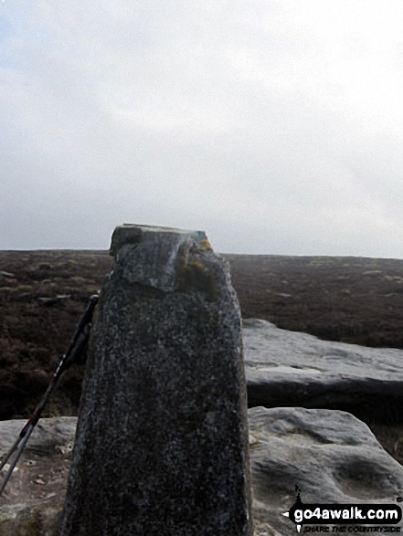
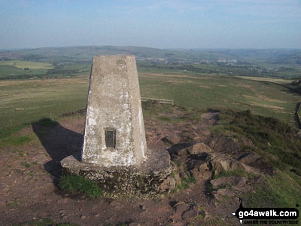
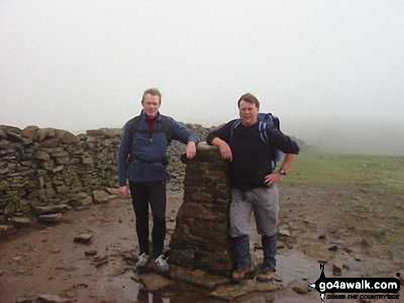
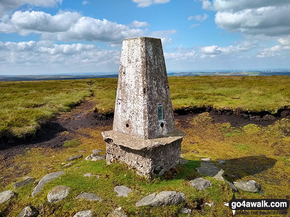
7. Whernside
736m (2,416ft)
Mountain (76th in England, 131st in England & Wales)
Nuttall (95th in England, 162nd in England & Wales)
Marilyn (25th in England, 513th in GB)
OS Trig Point
Whernside is the highest point in The Yorkshire Dales National Park and the highest point in the county of North Yorkshire.
To walk, climb & bag Whernside use any of these easy-to-follow walks:
See the location of Whernside and walks up it on a google MapWhernside is on interactive maps:
OS Explorer (Orange Covers): OL2
OS Landranger (Pink Covers): 98
Whernside is on downloadable PDF you can Print or Save to your Phone:
|
8. Wharncliffe Chase
317m (1,040ft)
Bridget
We hope to have walks that climb & bag Wharncliffe Chase very soon
See the location of Wharncliffe Chase and walks up it on a google MapWharncliffe Chase is on interactive maps:
OS Explorer (Orange Covers): OL1 and
278
OS Landranger (Pink Covers): 110 and
111
|
9. West Nab
500m (1,641ft)
Dewey (180th in England, 420th in England & Wales)
OS Trig Point
To walk, climb & bag West Nab use this easy-to-follow walk:
See the location of West Nab and walks up it on a google MapWest Nab is on interactive maps:
OS Explorer (Orange Covers): OL1
OS Landranger (Pink Covers): 110
West Nab is on downloadable PDF you can Print or Save to your Phone:
|
10. Way Stone Edge (Moss Moor)
482m (1,581ft)
Bridget
We hope to have walks that climb & bag Way Stone Edge (Moss Moor) very soon
See the location of Way Stone Edge (Moss Moor) and walks up it on a google MapWay Stone Edge (Moss Moor) is on interactive maps:
OS Explorer (Orange Covers): OL21
OS Landranger (Pink Covers): 110
Way Stone Edge (Moss Moor) is on downloadable PDF you can Print or Save to your Phone:
|
11. Water Crag (Arkengarthdale)
668m (2,192ft)
Nuttall (173rd in England, 293rd in England & Wales)
OS Trig Point
To walk, climb & bag Water Crag (Arkengarthdale) use this easy-to-follow walk:
See the location of Water Crag (Arkengarthdale) and walks up it on a google MapWater Crag (Arkengarthdale) is on interactive maps:
OS Explorer (Orange Covers): OL30
OS Landranger (Pink Covers): 91 and
92
Water Crag (Arkengarthdale) is on downloadable PDF you can Print or Save to your Phone:
|
12. Urra Moor (Round Hill)
454m (1,490ft)
Marilyn (87th in England, 1097th in GB)
OS Trig Point
We hope to have walks that climb & bag Urra Moor (Round Hill) very soon
See the location of Urra Moor (Round Hill) and walks up it on a google MapUrra Moor (Round Hill) is on interactive maps:
OS Explorer (Orange Covers): OL26
OS Landranger (Pink Covers): 93
A downloadable go4awalk.com PDF Peak Bagging Map featuring Urra Moor (Round Hill) will be available soon. |
13. Thorpe Fell Top
506m (1,660ft)
Bridget
OS Trig Point
To walk, climb & bag Thorpe Fell Top use this easy-to-follow walk:
See the location of Thorpe Fell Top and walks up it on a google MapThorpe Fell Top is on interactive maps:
OS Explorer (Orange Covers): OL2
OS Landranger (Pink Covers): 104
Thorpe Fell Top is on downloadable PDF you can Print or Save to your Phone:
|
14. The Fleak (Conny Tammy Currack)
551m (1,808ft)
Dewey (71st in England, 161st in England & Wales)
OS Trig Point
We hope to have walks that climb & bag The Fleak (Conny Tammy Currack) very soon
See the location of The Fleak (Conny Tammy Currack) and walks up it on a google MapThe Fleak (Conny Tammy Currack) is on interactive maps:
OS Explorer (Orange Covers): OL30
OS Landranger (Pink Covers): 98
The Fleak (Conny Tammy Currack) is on downloadable PDF you can Print or Save to your Phone:
|
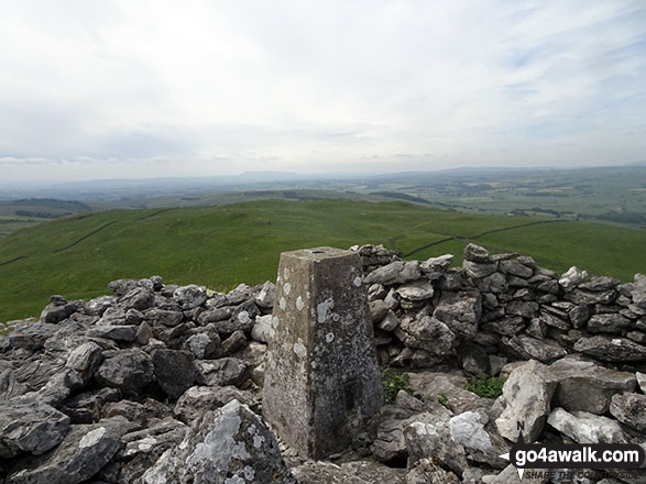
15. The Chevin (Otley Chevin)
282m (925ft)
Bridget
OS Trig Point
We hope to have walks that climb & bag The Chevin (Otley Chevin) very soon
See the location of The Chevin (Otley Chevin) and walks up it on a google MapThe Chevin (Otley Chevin) is on interactive maps:
OS Explorer (Orange Covers): 297
OS Landranger (Pink Covers): 104
The Chevin (Otley Chevin) is on downloadable PDF you can Print or Save to your Phone:
|
16. Sugar Loaf (Horse Head Moor)
609m (1,999ft)
Dewey (1st in England, 2nd in England & Wales)
To walk, climb & bag Sugar Loaf (Horse Head Moor) use this easy-to-follow walk:
See the location of Sugar Loaf (Horse Head Moor) and walks up it on a google MapSugar Loaf (Horse Head Moor) is on interactive maps:
OS Explorer (Orange Covers): OL30
OS Landranger (Pink Covers): 98
Sugar Loaf (Horse Head Moor) is on downloadable PDF you can Print or Save to your Phone:
|
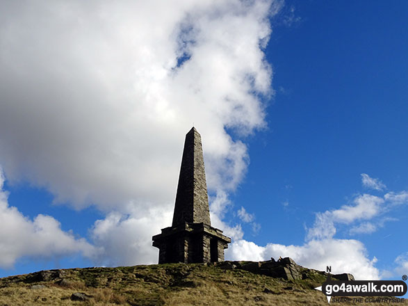
17. Stoodley Pike
401m (1,316ft)
Bridget
To walk, climb & bag Stoodley Pike use any of these easy-to-follow walks:
See the location of Stoodley Pike and walks up it on a google MapStoodley Pike is on interactive maps:
OS Explorer (Orange Covers): OL21
OS Landranger (Pink Covers): 103
Stoodley Pike is on downloadable PDF you can Print or Save to your Phone:
|
18. Stony Leas (Louven Howe)
299m (981ft)
Bridget
OS Trig Point
We hope to have walks that climb & bag Stony Leas (Louven Howe) very soon
See the location of Stony Leas (Louven Howe) and walks up it on a google MapStony Leas (Louven Howe) is on interactive maps:
OS Explorer (Orange Covers): OL27
OS Landranger (Pink Covers): 94 and
101
|
19. Snailsden
475m (1,559ft)
Bridget
OS Trig Point
To walk, climb & bag Snailsden use either of these easy-to-follow walks:
See the location of Snailsden and walks up it on a google MapSnailsden is on interactive maps:
OS Explorer (Orange Covers): OL1
OS Landranger (Pink Covers): 110
Snailsden is on downloadable PDF you can Print or Save to your Phone:
|
20. Smearsett Scar
363m (1,191ft)
Bridget
OS Trig Point
We hope to have walks that climb & bag Smearsett Scar very soon
See the location of Smearsett Scar and walks up it on a google MapSmearsett Scar is on interactive maps:
OS Explorer (Orange Covers): OL2
OS Landranger (Pink Covers): 98
Smearsett Scar is on downloadable PDF you can Print or Save to your Phone:
|
21. Skipton Moor
373m (1,224ft)
Bridget
OS Trig Point
We hope to have walks that climb & bag Skipton Moor very soon
See the location of Skipton Moor and walks up it on a google MapSkipton Moor is on interactive maps:
OS Explorer (Orange Covers): OL2
OS Landranger (Pink Covers): 104
|
22. Simon's Seat (Wharfedale)
485m (1,591ft)
Bridget
OS Trig Point
To walk, climb & bag Simon's Seat (Wharfedale) use this easy-to-follow walk:
See the location of Simon's Seat (Wharfedale) and walks up it on a google MapSimon's Seat (Wharfedale) is on interactive maps:
OS Explorer (Orange Covers): OL2
OS Landranger (Pink Covers): 104
Simon's Seat (Wharfedale) is on downloadable PDF you can Print or Save to your Phone:
|
23. Simon Fell
650m (2,133ft)
Mountain (145th in England, 249th in England & Wales)
Nuttall (193rd in England, 333rd in England & Wales)
To walk, climb & bag Simon Fell use this easy-to-follow walk:
See the location of Simon Fell and walks up it on a google MapSimon Fell is on interactive maps:
OS Explorer (Orange Covers): OL2
OS Landranger (Pink Covers): 98
Simon Fell is on downloadable PDF you can Print or Save to your Phone:
|
24. Sharp Haw
357m (1,171ft)
Marilyn (107th in England, 1291st in GB)
OS Trig Point
To walk, climb & bag Sharp Haw use this easy-to-follow walk:
See the location of Sharp Haw and walks up it on a google MapSharp Haw is on interactive maps:
OS Explorer (Orange Covers): OL2
OS Landranger (Pink Covers): 103
Sharp Haw is on downloadable PDF you can Print or Save to your Phone:
|
25. Seamer Beacon
189m (620ft)
Bridget
We hope to have walks that climb & bag Seamer Beacon very soon
See the location of Seamer Beacon and walks up it on a google MapSeamer Beacon is on interactive maps:
OS Explorer (Orange Covers): OL27 and
301
OS Landranger (Pink Covers): 101
|
26. Rylstone Fell
410m (1,345ft)
Bridget
To walk, climb & bag Rylstone Fell use any of these easy-to-follow walks:
See the location of Rylstone Fell and walks up it on a google MapRylstone Fell is on interactive maps:
OS Explorer (Orange Covers): OL2
OS Landranger (Pink Covers): 103
Rylstone Fell is on downloadable PDF you can Print or Save to your Phone:
|
27. Rye Loaf Hill
547m (1,795ft)
Dewey (75th in England, 177th in England & Wales)
OS Trig Point
We hope to have walks that climb & bag Rye Loaf Hill very soon
See the location of Rye Loaf Hill and walks up it on a google MapRye Loaf Hill is on interactive maps:
OS Explorer (Orange Covers): OL2
OS Landranger (Pink Covers): 98
Rye Loaf Hill is on downloadable PDF you can Print or Save to your Phone:
|
28. Round Hill (Bramberry Hill)
409m (1,342ft)
Bridget
We hope to have walks that climb & bag Round Hill (Bramberry Hill) very soon
See the location of Round Hill (Bramberry Hill) and walks up it on a google MapRound Hill (Bramberry Hill) is on interactive maps:
OS Explorer (Orange Covers): OL2
OS Landranger (Pink Covers): 104
Round Hill (Bramberry Hill) is on downloadable PDF you can Print or Save to your Phone:
|
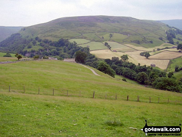
29. Roseberry Topping
320m (1,050ft)
Bridget
OS Trig Point
We hope to have walks that climb & bag Roseberry Topping very soon
See the location of Roseberry Topping and walks up it on a google MapRoseberry Topping is on interactive maps:
OS Explorer (Orange Covers): OL26
OS Landranger (Pink Covers): 93
A downloadable go4awalk.com PDF Peak Bagging Map featuring Roseberry Topping will be available soon. |
30. Rombalds Moor (Ilkley Moor)
402m (1,319ft)
Marilyn (97th in England, 1203rd in GB)
OS Trig Point
To walk, climb & bag Rombalds Moor (Ilkley Moor) use either of these easy-to-follow walks:
See the location of Rombalds Moor (Ilkley Moor) and walks up it on a google MapRombalds Moor (Ilkley Moor) is on interactive maps:
OS Explorer (Orange Covers): 297
OS Landranger (Pink Covers): 104
Rombalds Moor (Ilkley Moor) is on downloadable PDF you can Print or Save to your Phone:
|
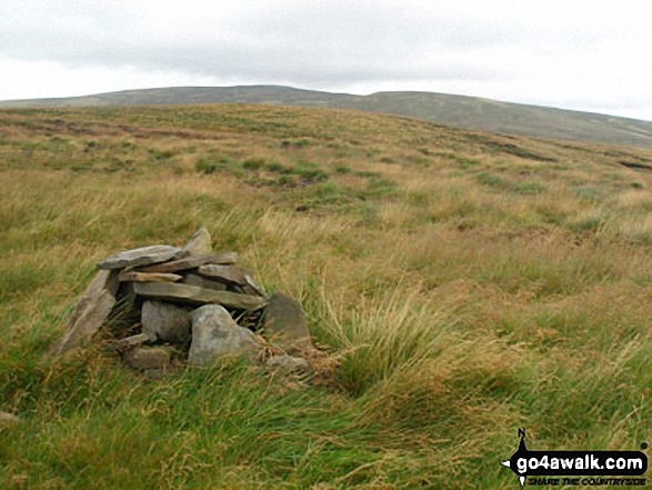
31. Rogan's Seat
672m (2,205ft)
Mountain (126th in England, 211th in England & Wales)
Nuttall (168th in England, 282nd in England & Wales)
Marilyn (39th in England, 648th in GB)
To walk, climb & bag Rogan's Seat use this easy-to-follow walk:
See the location of Rogan's Seat and walks up it on a google MapRogan's Seat is on interactive maps:
OS Explorer (Orange Covers): OL30
OS Landranger (Pink Covers): 91 and
92
Rogan's Seat is on downloadable PDF you can Print or Save to your Phone:
|
32. Robert's Seat
549m (1,801ft)
Bridget
To walk, climb & bag Robert's Seat use this easy-to-follow walk:
See the location of Robert's Seat and walks up it on a google MapRobert's Seat is on interactive maps:
OS Explorer (Orange Covers): OL19 and
OL30
OS Landranger (Pink Covers): 91 and
92
Robert's Seat is on downloadable PDF you can Print or Save to your Phone:
|
33. Redshaw Moss (Snaizhold Fell)
545m (1,788ft)
Dewey (83rd in England, 193rd in England & Wales)
We hope to have walks that climb & bag Redshaw Moss (Snaizhold Fell) very soon
See the location of Redshaw Moss (Snaizhold Fell) and walks up it on a google MapRedshaw Moss (Snaizhold Fell) is on interactive maps:
OS Explorer (Orange Covers): OL2
OS Landranger (Pink Covers): 98
Redshaw Moss (Snaizhold Fell) is on downloadable PDF you can Print or Save to your Phone:
|
34. Rain Stang
453m (1,487ft)
Bridget
OS Trig Point
To walk, climb & bag Rain Stang use this easy-to-follow walk:
See the location of Rain Stang and walks up it on a google MapRain Stang is on interactive maps:
OS Explorer (Orange Covers): OL30
OS Landranger (Pink Covers): 99
Rain Stang is on downloadable PDF you can Print or Save to your Phone:
|
35. Proctor High Mark
531m (1,743ft)
Dewey (112th in England, 261st in England & Wales)
To walk, climb & bag Proctor High Mark use either of these easy-to-follow walks:
See the location of Proctor High Mark and walks up it on a google MapProctor High Mark is on interactive maps:
OS Explorer (Orange Covers): OL2
OS Landranger (Pink Covers): 98
Proctor High Mark is on downloadable PDF you can Print or Save to your Phone:
|
36. Plover Hill
680m (2,231ft)
Mountain (115th in England, 195th in England & Wales)
Nuttall (153rd in England, 258th in England & Wales)
To walk, climb & bag Plover Hill use either of these easy-to-follow walks:
See the location of Plover Hill and walks up it on a google MapPlover Hill is on interactive maps:
OS Explorer (Orange Covers): OL2 and
OL30
OS Landranger (Pink Covers): 98
Plover Hill is on downloadable PDF you can Print or Save to your Phone:
|
37. Pike Lowe
478m (1,569ft)
Bridget
To walk, climb & bag Pike Lowe use this easy-to-follow walk:
See the location of Pike Lowe and walks up it on a google MapPike Lowe is on interactive maps:
OS Explorer (Orange Covers): OL1
OS Landranger (Pink Covers): 110
Pike Lowe is on downloadable PDF you can Print or Save to your Phone:
|
38. Pickerstone Ridge
565m (1,854ft)
Dewey (47th in England, 107th in England & Wales)
We hope to have walks that climb & bag Pickerstone Ridge very soon
See the location of Pickerstone Ridge and walks up it on a google MapPickerstone Ridge is on interactive maps:
OS Explorer (Orange Covers): OL30
OS Landranger (Pink Covers): 98
Pickerstone Ridge is on downloadable PDF you can Print or Save to your Phone:
|
39. Penhill
526m (1,726ft)
Bridget
OS Trig Point
We hope to have walks that climb & bag Penhill very soon
See the location of Penhill and walks up it on a google MapPenhill is on interactive maps:
OS Explorer (Orange Covers): OL30
OS Landranger (Pink Covers): 98
Penhill is on downloadable PDF you can Print or Save to your Phone:
|
40. Pen-y-ghent
694m (2,277ft)
Mountain (108th in England, 179th in England & Wales)
Nuttall (142nd in England, 233rd in England & Wales)
Marilyn (33rd in England, 606th in GB)
OS Trig Point
To walk, climb & bag Pen-y-ghent use any of these easy-to-follow walks:
See the location of Pen-y-ghent and walks up it on a google MapPen-y-ghent is on interactive maps:
OS Explorer (Orange Covers): OL2
OS Landranger (Pink Covers): 98
Pen-y-ghent is on downloadable PDF you can Print or Save to your Phone:
|
41. Peat Moor Hill (Booze Moor)
522m (1,713ft)
Bridget
OS Trig Point
We hope to have walks that climb & bag Peat Moor Hill (Booze Moor) very soon
See the location of Peat Moor Hill (Booze Moor) and walks up it on a google MapPeat Moor Hill (Booze Moor) is on interactive maps:
OS Explorer (Orange Covers): OL30
OS Landranger (Pink Covers): 92
Peat Moor Hill (Booze Moor) is on downloadable PDF you can Print or Save to your Phone:
|
42. Parson's Pulpit
538m (1,765ft)
Dewey (97th in England, 222nd in England & Wales)
OS Trig Point
To walk, climb & bag Parson's Pulpit use either of these easy-to-follow walks:
See the location of Parson's Pulpit and walks up it on a google MapParson's Pulpit is on interactive maps:
OS Explorer (Orange Covers): OL2
OS Landranger (Pink Covers): 98
Parson's Pulpit is on downloadable PDF you can Print or Save to your Phone:
|
43. Park Fell (Ribblehead)
563m (1,847ft)
Dewey (49th in England, 113th in England & Wales)
OS Trig Point
To walk, climb & bag Park Fell (Ribblehead) use this easy-to-follow walk:
See the location of Park Fell (Ribblehead) and walks up it on a google MapPark Fell (Ribblehead) is on interactive maps:
OS Explorer (Orange Covers): OL2
OS Landranger (Pink Covers): 98
Park Fell (Ribblehead) is on downloadable PDF you can Print or Save to your Phone:
|
44. Outer Edge
541m (1,775ft)
Bridget
OS Trig Point
To walk, climb & bag Outer Edge use any of these easy-to-follow walks:
See the location of Outer Edge and walks up it on a google MapOuter Edge is on interactive maps:
OS Explorer (Orange Covers): OL1
OS Landranger (Pink Covers): 110
Outer Edge is on downloadable PDF you can Print or Save to your Phone:
|
45. Onesmoor (Kirk Edge)
395m (1,296ft)
Bridget
OS Trig Point
To walk, climb & bag Onesmoor (Kirk Edge) use this easy-to-follow walk:
See the location of Onesmoor (Kirk Edge) and walks up it on a google MapOnesmoor (Kirk Edge) is on interactive maps:
OS Explorer (Orange Covers): OL1
OS Landranger (Pink Covers): 110
Onesmoor (Kirk Edge) is on downloadable PDF you can Print or Save to your Phone:
|
46. Oliver's Mount
155m (508ft)
Bridget
We hope to have walks that climb & bag Oliver's Mount very soon
See the location of Oliver's Mount and walks up it on a google MapOliver's Mount is on interactive maps:
OS Explorer (Orange Covers): OL27 and
301
OS Landranger (Pink Covers): 101
|
47. Naughtberry Hill
573m (1,881ft)
Dewey (38th in England, 83rd in England & Wales)
We hope to have walks that climb & bag Naughtberry Hill very soon
See the location of Naughtberry Hill and walks up it on a google MapNaughtberry Hill is on interactive maps:
OS Explorer (Orange Covers): OL30
OS Landranger (Pink Covers): 98
Naughtberry Hill is on downloadable PDF you can Print or Save to your Phone:
|
48. Meugher
575m (1,887ft)
Dewey (34th in England, 78th in England & Wales)
OS Trig Point
To walk, climb & bag Meugher use this easy-to-follow walk:
See the location of Meugher and walks up it on a google MapMeugher is on interactive maps:
OS Explorer (Orange Covers): OL30
OS Landranger (Pink Covers): 98
Meugher is on downloadable PDF you can Print or Save to your Phone:
|
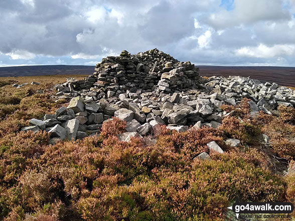
49. Margery Hill
546m (1,791ft)
Bridget
OS Trig Point
To walk, climb & bag Margery Hill use either of these easy-to-follow walks:
See the location of Margery Hill and walks up it on a google MapMargery Hill is on interactive maps:
OS Explorer (Orange Covers): OL1
OS Landranger (Pink Covers): 110
Margery Hill is on downloadable PDF you can Print or Save to your Phone:
|
50. Manshead End (Soyland Moor)
417m (1,369ft)
Bridget
OS Trig Point
We hope to have walks that climb & bag Manshead End (Soyland Moor) very soon
See the location of Manshead End (Soyland Moor) and walks up it on a google MapManshead End (Soyland Moor) is on interactive maps:
OS Explorer (Orange Covers): OL41
OS Landranger (Pink Covers): 103
Manshead End (Soyland Moor) is on downloadable PDF you can Print or Save to your Phone:
|
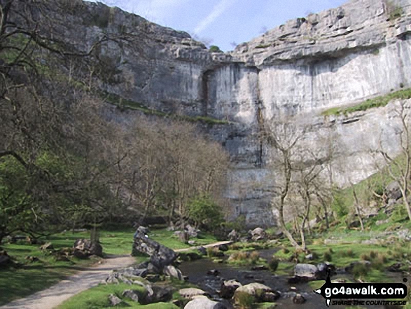
51. Malham Cove
319m (1,047ft)
Bridget
To walk, climb & bag Malham Cove use any of these easy-to-follow walks:
See the location of Malham Cove and walks up it on a google MapMalham Cove is on interactive maps:
OS Explorer (Orange Covers): OL2
OS Landranger (Pink Covers): 98
Malham Cove is on downloadable PDF you can Print or Save to your Phone:
|
52. Lovely Seat
675m (2,214ft)
Mountain (121st in England, 204th in England & Wales)
Nuttall (161st in England, 273rd in England & Wales)
Lovely Seat was promoted to Marilyn status in 1995 but demoted again in 2010.
To walk, climb & bag Lovely Seat use this easy-to-follow walk:
See the location of Lovely Seat and walks up it on a google MapLovely Seat is on interactive maps:
OS Explorer (Orange Covers): OL30
OS Landranger (Pink Covers): 98
Lovely Seat is on downloadable PDF you can Print or Save to your Phone:
|
53. Lodge Moor (Ughill Moors)
409m (1,342ft)
Bridget
To walk, climb & bag Lodge Moor (Ughill Moors) use this easy-to-follow walk:
See the location of Lodge Moor (Ughill Moors) and walks up it on a google MapLodge Moor (Ughill Moors) is on interactive maps:
OS Explorer (Orange Covers): OL1
OS Landranger (Pink Covers): 110
Lodge Moor (Ughill Moors) is on downloadable PDF you can Print or Save to your Phone:
|
54. Little Whernside
604m (1,982ft)
Dewey (6th in England, 15th in England & Wales)
To walk, climb & bag Little Whernside use this easy-to-follow walk:
See the location of Little Whernside and walks up it on a google MapLittle Whernside is on interactive maps:
OS Explorer (Orange Covers): OL30
OS Landranger (Pink Covers): 98
Little Whernside is on downloadable PDF you can Print or Save to your Phone:
|
55. Little Fell (Lunds Fell) (Mallerstang)
667m (2,189ft)
Mountain (130th in England, 221st in England & Wales)
Nuttall (174th in England, 294th in England & Wales)
A survey in Oct 2022 detrmined that the summit of Little Fell was at Sails, 500m S of the high point marked on OS Map OL19. However, the name of top remains Little Fell (Lunds Fell) (Mallerstang).
To walk, climb & bag Little Fell (Lunds Fell) (Mallerstang) use this easy-to-follow walk:
See the location of Little Fell (Lunds Fell) (Mallerstang) and walks up it on a google MapLittle Fell (Lunds Fell) (Mallerstang) is on interactive maps:
OS Explorer (Orange Covers): OL19
OS Landranger (Pink Covers): 98
Little Fell (Lunds Fell) (Mallerstang) is on downloadable PDF you can Print or Save to your Phone:
|
56. Lindley Moor
245m (804ft)
Bridget
OS Trig Point
We hope to have walks that climb & bag Lindley Moor very soon
See the location of Lindley Moor and walks up it on a google MapLindley Moor is on interactive maps:
OS Explorer (Orange Covers): 297
OS Landranger (Pink Covers): 104
Lindley Moor is on downloadable PDF you can Print or Save to your Phone:
|
57. Langcliffe
440m (1,444ft)
Bridget
OS Trig Point
To walk, climb & bag Langcliffe use this easy-to-follow walk:
See the location of Langcliffe and walks up it on a google MapLangcliffe is on interactive maps:
OS Explorer (Orange Covers): OL2
OS Landranger (Pink Covers): 98
Langcliffe is on downloadable PDF you can Print or Save to your Phone:
|
58. Knowe Fell
593m (1,946ft)
Bridget
OS Trig Point
We hope to have walks that climb & bag Knowe Fell very soon
See the location of Knowe Fell and walks up it on a google MapKnowe Fell is on interactive maps:
OS Explorer (Orange Covers): OL2
OS Landranger (Pink Covers): 98
|
59. Kisdon
499m (1,638ft)
Marilyn (79th in England, 986th in GB)
To walk, climb & bag Kisdon use this easy-to-follow walk:
See the location of Kisdon and walks up it on a google MapKisdon is on interactive maps:
OS Explorer (Orange Covers): OL30
OS Landranger (Pink Covers): 98
Kisdon is on downloadable PDF you can Print or Save to your Phone:
|
60. Kirkby Fell
546m (1,791ft)
Dewey (81st in England, 186th in England & Wales)
We hope to have walks that climb & bag Kirkby Fell very soon
See the location of Kirkby Fell and walks up it on a google MapKirkby Fell is on interactive maps:
OS Explorer (Orange Covers): OL2
OS Landranger (Pink Covers): 98
Kirkby Fell is on downloadable PDF you can Print or Save to your Phone:
|
Page 1 of 2 Go to page:
1 2 |
View these 117 Mountains, Peaks, Tops and Hills:
Is there a Mountain, Peak, Top or Hill missing from the above google map or list?
Let us know an we will add it to our database.


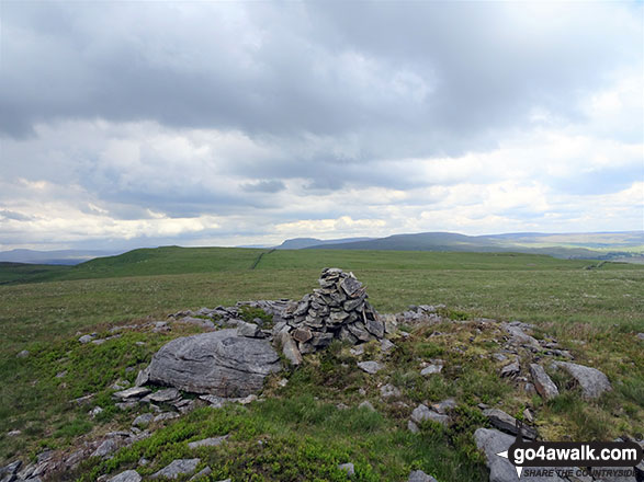
 Whernside in The Southern Dales Area of The Yorkshire Dales


