The North West region of England - a fully detailed list of all the Mountains, Peaks, Tops and Hills (Page 12 of 16)
The North West region of England comprises the traditional counties of Cheshire, Cumbria, Greater Manchester, Lancashire and Mersyside and includes The Lake District National Park, The Forest of Bowland, parts of The Yorkshire Dales National Park and parts of the Peak District National Park.
If you include all the Mountains (Hewitts), the Deweys, the Nuttalls, the Marilyns, the Bridgets (Hills) and all the Mountains, Tops, Peaks and Hills with a Trig Point on them there are 464 tops to climb, bag & conquer and the highest point is Scafell Pike at 978m (3,210ft).
To see these Mountains, Peaks, Tops and Hills displayed in different ways - see the options in the left-hand column and towards the bottom of this page.
![]() Your Personal Bagging Record for North West
Your Personal Bagging Record for North West
LOG ON and RELOAD this page to show which Mountains, Peaks, Tops and Hills you have already climbed, bagged & conquered [. . . more details]
See this list in: Alphabetical Order‡
| Height Order
To reverse the order select the link again.
Mountain, Peak, Top or Hill:
Bagged

![]()
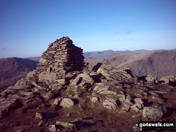
331. Froswick
720m (2,363ft)
Froswick is on interactive maps:
Froswick is on downloadable PDF you can Print or Save to your Phone: *Version including the walk routes marked on it that you need to follow to Walk all 214 Wainwrights in just 59 walks. |

![]()
332. Freeholds Top
455m (1,493ft)
Freeholds Top is on interactive maps:
Freeholds Top is on downloadable PDF you can Print or Save to your Phone: |

![]()
333. Flinty Fell
614m (2,016ft)
Flinty Fell is on interactive maps:
Flinty Fell is on downloadable PDF you can Print or Save to your Phone: |
![]()
334. Fleetwith Pike
648m (2,126ft)
Fleetwith Pike is on interactive maps:
Fleetwith Pike is on downloadable PDF you can Print or Save to your Phone: *Version including the walk routes marked on it that you need to follow to Walk all 214 Wainwrights in just 59 walks. |

![]()
335. Fiend's Fell
634m (2,081ft)
Fiend's Fell is on interactive maps:
Fiend's Fell is on downloadable PDF you can Print or Save to your Phone: |

![]()
336. Fellbarrow
416m (1,365ft)
Fellbarrow is on interactive maps:
Fellbarrow is on downloadable PDF you can Print or Save to your Phone: *Version including the walk routes marked on it that you need to follow to Walk all 214 Wainwrights in just 59 walks. |
![]()
337. Fell Head (Howgills)
640m (2,100ft)
Fell Head (Howgills) is on interactive maps:
Fell Head (Howgills) is on downloadable PDF you can Print or Save to your Phone: |

![]()
338. Fairfield
873m (2,865ft)
Fairfield is on interactive maps:
Fairfield is on downloadable PDF you can Print or Save to your Phone: *Version including the walk routes marked on it that you need to follow to Walk all 214 Wainwrights in just 59 walks. |

![]()
339. Fair Snape Fell
520m (1,706ft)
Fair Snape Fell is on interactive maps:
Fair Snape Fell is on downloadable PDF you can Print or Save to your Phone: |
![]()
340. Esk Pike
885m (2,904ft)
Esk Pike is on interactive maps:
Esk Pike is on downloadable PDF you can Print or Save to your Phone: *Version including the walk routes marked on it that you need to follow to Walk all 214 Wainwrights in just 59 walks. |

![]()
341. Easington Fell
396m (1,300ft)
Easington Fell is on interactive maps:
Easington Fell is on downloadable PDF you can Print or Save to your Phone: |
![]()
342. Dufton Pike
481m (1,579ft)
Dufton Pike is on interactive maps:
Dufton Pike is on downloadable PDF you can Print or Save to your Phone: |
![]()
343. Dow Crag
778m (2,553ft)
Dow Crag is on interactive maps:
Dow Crag is on downloadable PDF you can Print or Save to your Phone: *Version including the walk routes marked on it that you need to follow to Walk all 214 Wainwrights in just 59 walks. |

![]()
344. Dow Bank
280m (919ft)
Dow Bank is on interactive maps:
Dow Bank is on downloadable PDF you can Print or Save to your Phone: *Version including the walk routes marked on it that you need to follow to Walk all 214 Wainwrights in just 59 walks. |
![]()
345. Dovenest Top
633m (2,078ft)
Dovenest Top is on interactive maps:
Dovenest Top is on downloadable PDF you can Print or Save to your Phone: *Version including the walk routes marked on it that you need to follow to Walk all 214 Wainwrights in just 59 walks. |
![]()
346. Dove Crag
792m (2,599ft)
Dove Crag is on interactive maps:
Dove Crag is on downloadable PDF you can Print or Save to your Phone: *Version including the walk routes marked on it that you need to follow to Walk all 214 Wainwrights in just 59 walks. |
![]()
347. Dollywaggon Pike
858m (2,816ft)
Dollywaggon Pike is on interactive maps:
Dollywaggon Pike is on downloadable PDF you can Print or Save to your Phone: *Version including the walk routes marked on it that you need to follow to Walk all 214 Wainwrights in just 59 walks. |
![]()
348. Dodd (Whiteside)
454m (1,490ft)
Dodd (Whiteside) is on interactive maps:
Dodd (Whiteside) is on downloadable PDF you can Print or Save to your Phone: *Version including the walk routes marked on it that you need to follow to Walk all 214 Wainwrights in just 59 walks. |

![]()
349. Dodd (Skiddaw)
502m (1,647ft)
Dodd (Skiddaw) is on interactive maps:
Dodd (Skiddaw) is on downloadable PDF you can Print or Save to your Phone: *Version including the walk routes marked on it that you need to follow to Walk all 214 Wainwrights in just 59 walks. |

![]()
350. Dodd (Buttermere)
641m (2,104ft)
Dodd (Buttermere) is on interactive maps:
Dodd (Buttermere) is on downloadable PDF you can Print or Save to your Phone: *Version including the walk routes marked on it that you need to follow to Walk all 214 Wainwrights in just 59 walks. |
![]()
351. Docker Knott
530m (1,739ft)
Docker Knott is on interactive maps:
Docker Knott is on downloadable PDF you can Print or Save to your Phone: |
![]()
352. Dick Hill
453m (1,487ft)
Dick Hill is on interactive maps:
Dick Hill is on downloadable PDF you can Print or Save to your Phone: |
![]()
353. Dent (Long Barrow)
352m (1,155ft)
Dent (Long Barrow) is on interactive maps:
Dent (Long Barrow) is on downloadable PDF you can Print or Save to your Phone: *Version including the walk routes marked on it that you need to follow to Walk all 214 Wainwrights in just 59 walks. |
![]()
354. Dead Stones
710m (2,330ft)
Dead Stones is on interactive maps:
Dead Stones is on downloadable PDF you can Print or Save to your Phone: |

![]()
355. Darwen Hill (Darwen Moor)
372m (1,220ft)
Darwen Hill (Darwen Moor) is on interactive maps:
Darwen Hill (Darwen Moor) is on downloadable PDF you can Print or Save to your Phone: |
![]()
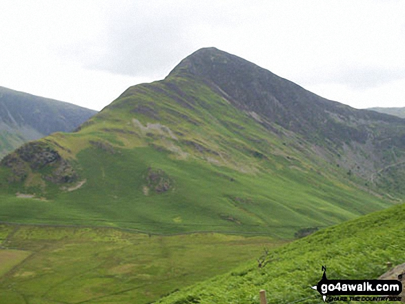
356. Dale Head (Newlands)
753m (2,471ft)
Dale Head (Newlands) is on interactive maps:
Dale Head (Newlands) is on downloadable PDF you can Print or Save to your Phone: *Version including the walk routes marked on it that you need to follow to Walk all 214 Wainwrights in just 59 walks. |
![]()
357. Cuns Fell
539m (1,769ft)
Cuns Fell is on interactive maps:
Cuns Fell is on downloadable PDF you can Print or Save to your Phone: |
![]()
358. Crutchenber Fell (Bowland Knotts)
430m (1,411ft)
Crutchenber Fell (Bowland Knotts) is on interactive maps:
Crutchenber Fell (Bowland Knotts) is on downloadable PDF you can Print or Save to your Phone: |

![]()
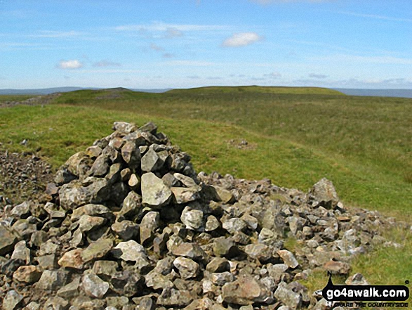
359. Cross Fell
893m (2,931ft)
Cross Fell is on interactive maps:
Cross Fell is on downloadable PDF you can Print or Save to your Phone: |
![]()
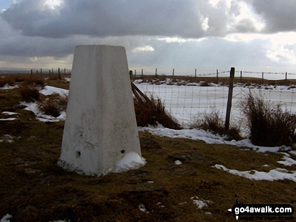
360. Crook Knott
256m (840ft)
Crook Knott is on interactive maps:
|
View these 464 Mountains, Peaks, Tops and Hills:
- On an Interactive Google Map (loads faster)
- On an Interactive Google Map with a list of tops below it.
(makes it easier to locate a particular top) - On a Detailed List in:
Alphabetical Order | Height Order - On one page with 'yet-to-be-bagged' listed 1st & then 'already-bagged' tops listed 2nd in:
Alphabetical Order | Height Order - On one page with 'already-bagged' tops listed 1st & then 'yet-to-be-bagged' tops listed 2nd in:
Alphabetical Order | Height Order
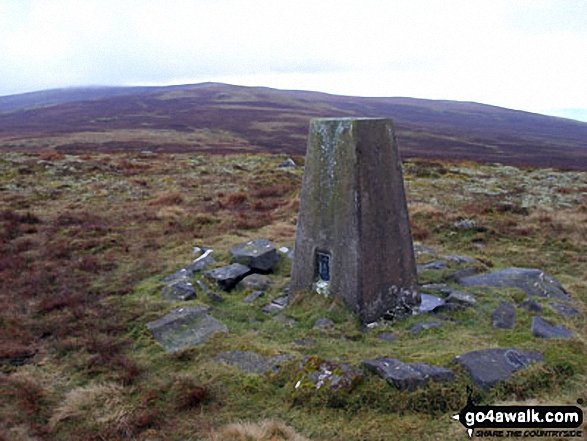
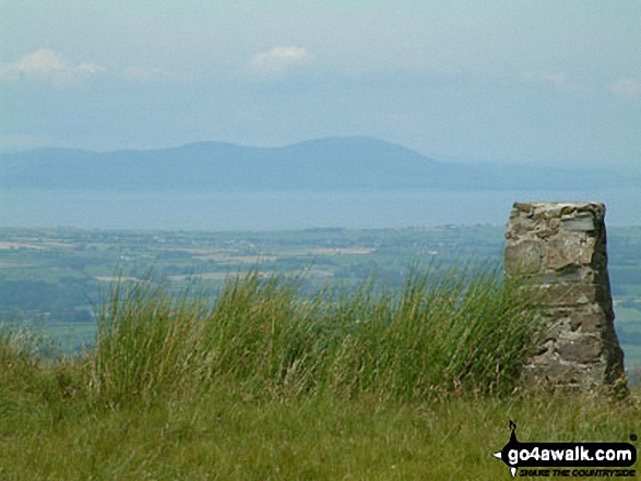
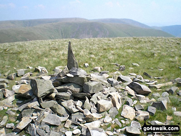
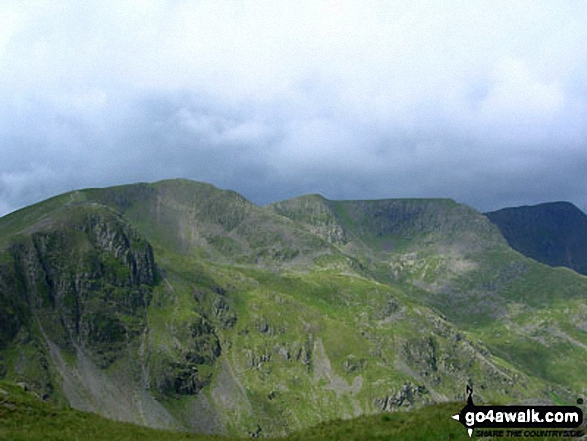
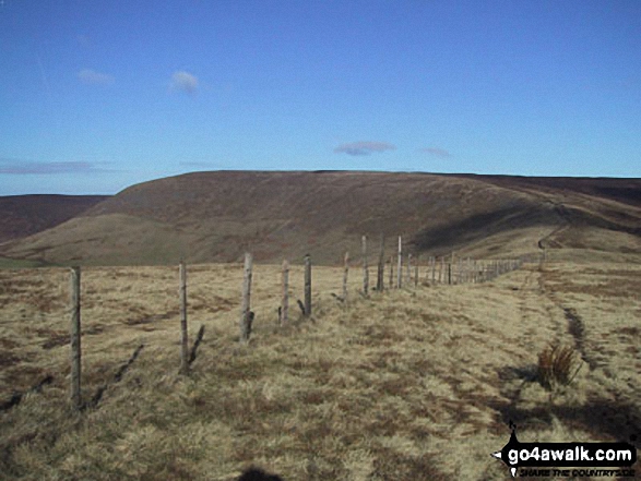
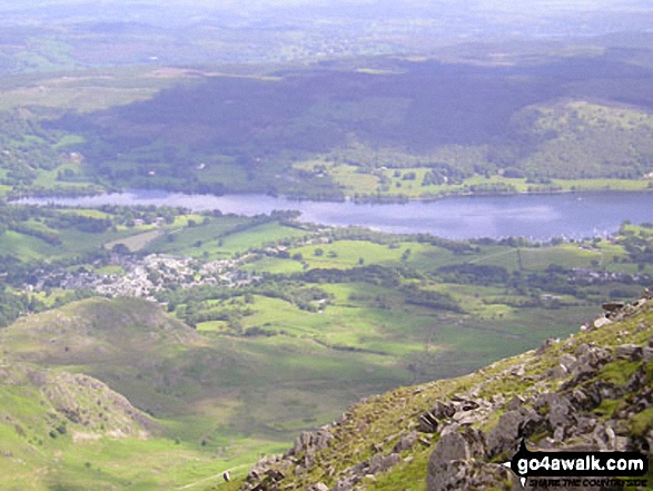
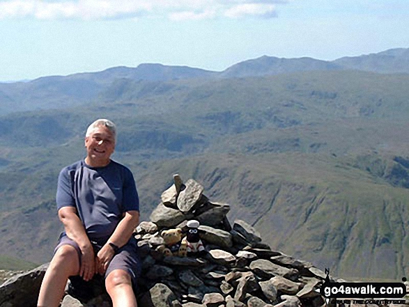
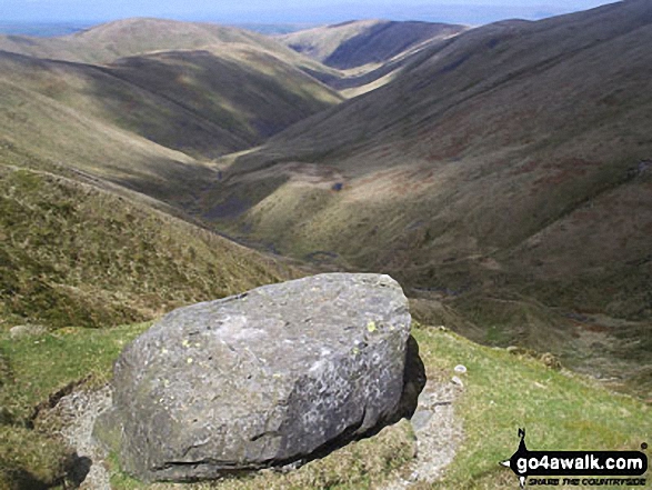
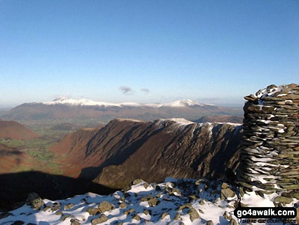
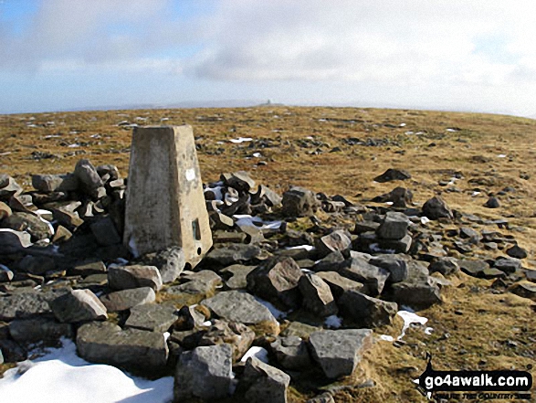
 The view from Scafell Pike in The North Pennines area of
Photo: David Cochrane
Is there a Mountain, Peak, Top or Hill missing from the above google map or list?
Let us know an we will add it to our database.
To contribute to go4awalk.com or to contact us about anything at all - see Talk To Us.
For help see Help.
go4awalk.com and go4awalk.co.uk are registered trademarks of TMDH Limited.
Copyright © 2000-2025 TMDH Limited. All rights reserved.
Copyright Terms & Conditions Privacy Statement
A - Z Walks Home Log On/Accounts Photo Gallery Walk Ideas and Collections Fell Facts Hill Skills Walking Questions and Answers Your Stories News Competitions Product Reviews/Gear Tests Walking Gear Guides Peaks and Mountains Peak Bagging Find New Walking Friends Camping GPS Waypoints for Walking Contents Walk Search Talk To Us go4awalk.com Help Free Example Walks Newsletter


