The Isle of Man - a fully detailed list of all the Mountains, Peaks, Tops and Hills (Page 22 of 41)
If you count only the Marilyns there are 1218 tops to climb, bag & conquer and the highest point is Ben Nevis at 1,344m (4,411ft).
To see these Mountains, Peaks, Tops and Hills displayed in different ways - see the options in the left-hand column and towards the bottom of this page.
LOG ON and RELOAD this page to show which Mountains, Peaks, Tops and Hills you have already climbed, bagged & conquered [. . . more details]
Page 22 of 41 First Previous 21 22 23 24 25 26 27 28 29 30 Next Last |
See this list in: Alphabetical Order
| Height Order‡
To reverse the order select the link again.
Mountain, Peak, Top or Hill:
Bagged
631. Cauldcleuch Head
619m (2,032ft)
Cauldcleuch Head is on interactive maps:
A downloadable go4awalk.com PDF Peak Bagging Map featuring Cauldcleuch Head will be available soon. |
632. Pressendye
619m (2,031ft)
Pressendye is on interactive maps:
A downloadable go4awalk.com PDF Peak Bagging Map featuring Pressendye will be available soon. |
633. Beinn Bheag (Loch Eck)
618m (2,028ft)
Send it in and we'll publish it here.
Beinn Bheag (Loch Eck) is on interactive maps:
A downloadable go4awalk.com PDF Peak Bagging Map featuring Beinn Bheag (Loch Eck) will be available soon. |
634. Carn na h-Easgainn
618m (2,028ft)
Carn na h-Easgainn is on interactive maps:
A downloadable go4awalk.com PDF Peak Bagging Map featuring Carn na h-Easgainn will be available soon. |
635. Cruach Choireadail
618m (2,028ft)
Cruach Choireadail is on interactive maps:
A downloadable go4awalk.com PDF Peak Bagging Map featuring Cruach Choireadail will be available soon. |
636. Meall Reamhar (Girron Burn)
618m (2,027ft)
Send it in and we'll publish it here.
Meall Reamhar (Girron Burn) is on interactive maps:
A downloadable go4awalk.com PDF Peak Bagging Map featuring Meall Reamhar (Girron Burn) will be available soon. |
637. Beinn na Gucaig
616m (2,021ft)
Beinn na Gucaig is on interactive maps:
A downloadable go4awalk.com PDF Peak Bagging Map featuring Beinn na Gucaig will be available soon. |
638. Carn nan Tri-tighearnan
614m (2,015ft)
Send it in and we'll publish it here.
Carn nan Tri-tighearnan is on interactive maps:
A downloadable go4awalk.com PDF Peak Bagging Map featuring Carn nan Tri-tighearnan will be available soon. |
639. Beinn a' Mheadhoin (Loch Beinn a' Mhea
613m (2,012ft)
Send it in and we'll publish it here.
Beinn a' Mheadhoin (Loch Beinn a' Mhea is on interactive maps:
A downloadable go4awalk.com PDF Peak Bagging Map featuring Beinn a' Mheadhoin (Loch Beinn a' Mhea will be available soon. |
640. Meall an Fheur Loch
613m (2,012ft)
Send it in and we'll publish it here.
Meall an Fheur Loch is on interactive maps:
A downloadable go4awalk.com PDF Peak Bagging Map featuring Meall an Fheur Loch will be available soon. |
641. Creag a' Mhadaidh
612m (2,009ft)
Creag a' Mhadaidh is on interactive maps:
A downloadable go4awalk.com PDF Peak Bagging Map featuring Creag a' Mhadaidh will be available soon. |
642. Creag Dhubh Mhor (Attadale Forest)
612m (2,009ft)
Send it in and we'll publish it here.
Creag Dhubh Mhor (Attadale Forest) is on interactive maps:
A downloadable go4awalk.com PDF Peak Bagging Map featuring Creag Dhubh Mhor (Attadale Forest) will be available soon. |
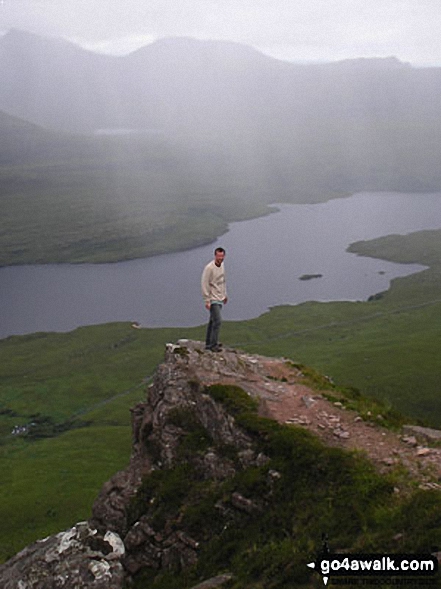
643. Stac Pollaidh
612m (2,009ft)
Stac Pollaidh is on interactive maps:
A downloadable go4awalk.com PDF Peak Bagging Map featuring Stac Pollaidh will be available soon. |
644. Cruach nan Capull (Loch Striven)
612m (2,008ft)
Send it in and we'll publish it here.
Cruach nan Capull (Loch Striven) is on interactive maps:
A downloadable go4awalk.com PDF Peak Bagging Map featuring Cruach nan Capull (Loch Striven) will be available soon. |
645. Cruach nam Mult
611m (2,005ft)
Cruach nam Mult is on interactive maps:
A downloadable go4awalk.com PDF Peak Bagging Map featuring Cruach nam Mult will be available soon. |
646. Ben Aslak
609m (1,998ft)
Ben Aslak is on interactive maps:
A downloadable go4awalk.com PDF Peak Bagging Map featuring Ben Aslak will be available soon. |
647. Corwharn
609m (1,998ft)
Corwharn is on interactive maps:
A downloadable go4awalk.com PDF Peak Bagging Map featuring Corwharn will be available soon. |
648. Ladylea Hill
609m (1,998ft)
Ladylea Hill is on interactive maps:
A downloadable go4awalk.com PDF Peak Bagging Map featuring Ladylea Hill will be available soon. |
649. Burach
607m (1,992ft)
Burach is on interactive maps:
A downloadable go4awalk.com PDF Peak Bagging Map featuring Burach will be available soon. |
650. Cruach Neuran
607m (1,992ft)
Cruach Neuran is on interactive maps:
A downloadable go4awalk.com PDF Peak Bagging Map featuring Cruach Neuran will be available soon. |
651. Cruach nam Miseag
606m (1,989ft)
See the location of Cruach nam Miseag and walks up it on a google Map Cruach nam Miseag is on interactive maps:
A downloadable go4awalk.com PDF Peak Bagging Map featuring Cruach nam Miseag will be available soon. |
652. Hecla (Thacla)
606m (1,989ft)
Hecla (Thacla) is on interactive maps:
A downloadable go4awalk.com PDF Peak Bagging Map featuring Hecla (Thacla) will be available soon. |
653. Well Hill
606m (1,989ft)
See the location of Well Hill and walks up it on a google Map Well Hill is on interactive maps:
A downloadable go4awalk.com PDF Peak Bagging Map featuring Well Hill will be available soon. |
654. Beinn a' Chuirn (Glen More)
603m (1,979ft)
Beinn a' Chuirn (Glen More) is on interactive maps:
A downloadable go4awalk.com PDF Peak Bagging Map featuring Beinn a' Chuirn (Glen More) will be available soon. |
655. Sgorach Mor
602m (1,976ft)
Sgorach Mor is on interactive maps:
A downloadable go4awalk.com PDF Peak Bagging Map featuring Sgorach Mor will be available soon. |
656. Leagag
601m (1,972ft)
Leagag is on interactive maps:
A downloadable go4awalk.com PDF Peak Bagging Map featuring Leagag will be available soon. |
657. Sithean Mor (Sidhean Mor) (South Morar)
601m (1,972ft)
Send it in and we'll publish it here.
Sithean Mor (Sidhean Mor) (South Morar) is on interactive maps:
A downloadable go4awalk.com PDF Peak Bagging Map featuring Sithean Mor (Sidhean Mor) (South Morar) will be available soon. |
658. The Coyles of Muick
601m (1,972ft)
Send it in and we'll publish it here.
The Coyles of Muick is on interactive maps:
A downloadable go4awalk.com PDF Peak Bagging Map featuring The Coyles of Muick will be available soon. |
659. Greatmoor Hill (Starcleuch Edge)
599m (1,966ft)
Send it in and we'll publish it here.
Greatmoor Hill (Starcleuch Edge) is on interactive maps:
A downloadable go4awalk.com PDF Peak Bagging Map featuring Greatmoor Hill (Starcleuch Edge) will be available soon. |
660. Meallan Odhar Doire nan Gillean
599m (1,964ft)
Send it in and we'll publish it here.
Meallan Odhar Doire nan Gillean is on interactive maps:
A downloadable go4awalk.com PDF Peak Bagging Map featuring Meallan Odhar Doire nan Gillean will be available soon. |
Page 22 of 41 First Previous 21 22 23 24 25 26 27 28 29 30 Next Last |
View these 1218 Mountains, Peaks, Tops and Hills:
- On an Interactive Google Map (loads faster)
- On an Interactive Google Map with a list of tops below it.
(makes it easier to locate a particular top) - On a Detailed List in:
Alphabetical Order | Height Order - On one page with 'yet-to-be-bagged' listed 1st & then 'already-bagged' tops listed 2nd in:
Alphabetical Order | Height Order - On one page with 'already-bagged' tops listed 1st & then 'yet-to-be-bagged' tops listed 2nd in:
Alphabetical Order | Height Order
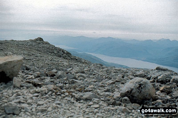
 The summit of Ben Nevis in Glen Cannich to Glen CarronScotland
Photo: John Reed
Is there a Mountain, Peak, Top or Hill missing from the above google map or list?
Let us know an we will add it to our database.


