England - a fully detailed list of all the Mountains, Peaks, Tops and Hills (Page 6 of 9)
England is defined as the whole of the country of England which includes the National Parks of Dartmoor, Exmoor, The Lake District, The Peak District, The North York Moors, Northumberland, The South Downs and The Yorkshire Dales, as well as The Chilterns, The Cotswolds, The Forest of Bowland, The North Peninnes, The Shropshire Hills and The South Peninnes.
If you count only the Nuttalls there are 254 tops to climb, bag & conquer and the highest point is Scafell Pike at 978m (3,210ft).
To see these Mountains, Peaks, Tops and Hills displayed in different ways - see the options in the left-hand column and towards the bottom of this page.
LOG ON and RELOAD this page to show which Mountains, Peaks, Tops and Hills you have already climbed, bagged & conquered [. . . more details]
Page 6 of 9 Go to page:
1 2 3 4 5 6 7 8 9 |
See this list in: Alphabetical Order
| Height Order‡
To reverse the order select the link again.
Mountain, Peak, Top or Hill:
Bagged
151. Loft Crag
681m (2,235ft)
Wainwright (No. 98)
Nuttall (151st in England, 255th in England & Wales)
To walk, climb & bag Loft Crag use any of these easy-to-follow walks:
See the location of Loft Crag and walks up it on a google MapLoft Crag is on interactive maps:
OS Explorer (Orange Covers): OL6
OS Landranger (Pink Covers): 89 and
90
Loft Crag is on downloadable PDF you can Print or Save to your Phone:
*Version including the walk routes marked on it that you need to follow to Walk all 214 Wainwrights in just 59 walks. |
152. Swarth Fell
681m (2,235ft)
Mountain (114th in England, 194th in England & Wales)
Nuttall (152nd in England, 257th in England & Wales)
To walk, climb & bag Swarth Fell use either of these easy-to-follow walks:
See the location of Swarth Fell and walks up it on a google MapSwarth Fell is on interactive maps:
OS Explorer (Orange Covers): OL19
OS Landranger (Pink Covers): 98
Swarth Fell is on downloadable PDF you can Print or Save to your Phone:
|
153. Plover Hill
680m (2,231ft)
Mountain (115th in England, 195th in England & Wales)
Nuttall (153rd in England, 258th in England & Wales)
To walk, climb & bag Plover Hill use either of these easy-to-follow walks:
See the location of Plover Hill and walks up it on a google MapPlover Hill is on interactive maps:
OS Explorer (Orange Covers): OL2 and
OL30
OS Landranger (Pink Covers): 98
Plover Hill is on downloadable PDF you can Print or Save to your Phone:
|
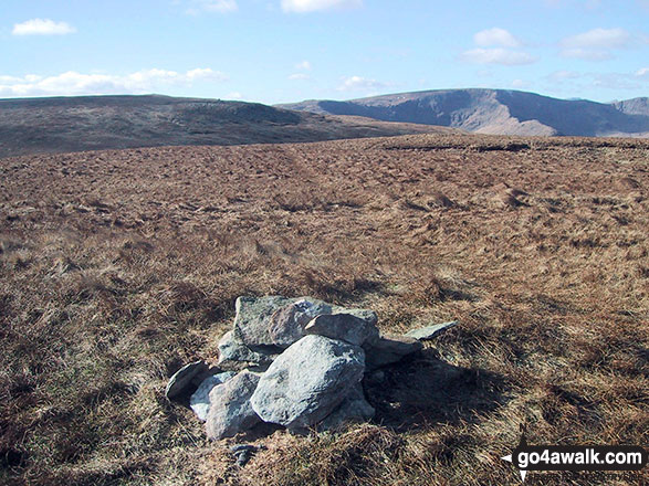
154. Baugh Fell (Tarn Rigg Hill)
678m (2,225ft)
Mountain (116th in England, 196th in England & Wales)
Nuttall (154th in England, 262nd in England & Wales)
Marilyn (36th in England, 630th in GB)
To walk, climb & bag Baugh Fell (Tarn Rigg Hill) use this easy-to-follow walk:
See the location of Baugh Fell (Tarn Rigg Hill) and walks up it on a google MapBaugh Fell (Tarn Rigg Hill) is on interactive maps:
OS Explorer (Orange Covers): OL19
OS Landranger (Pink Covers): 98
Baugh Fell (Tarn Rigg Hill) is on downloadable PDF you can Print or Save to your Phone:
|
155. Combe Door Top
676m (2,219ft)
Nuttall (155th in England, 265th in England & Wales)
To walk, climb & bag Combe Door Top use either of these easy-to-follow walks:
See the location of Combe Door Top and walks up it on a google MapCombe Door Top is on interactive maps:
OS Explorer (Orange Covers): OL6
OS Landranger (Pink Covers): 89 and
90
Combe Door Top is on downloadable PDF you can Print or Save to your Phone:
*Version including the walk routes marked on it that you need to follow to Walk all 214 Wainwrights in just 59 walks. |
156. Sheffield Pike
676m (2,218ft)
Wainwright (No. 99)
Mountain (117th in England, 200th in England & Wales)
Nuttall (156th in England, 267th in England & Wales)
To walk, climb & bag Sheffield Pike use any of these easy-to-follow walks:
See the location of Sheffield Pike and walks up it on a google MapSheffield Pike is on interactive maps:
OS Explorer (Orange Covers): OL5
OS Landranger (Pink Covers): 90
Sheffield Pike is on downloadable PDF you can Print or Save to your Phone:
*Version including the walk routes marked on it that you need to follow to Walk all 214 Wainwrights in just 59 walks. |
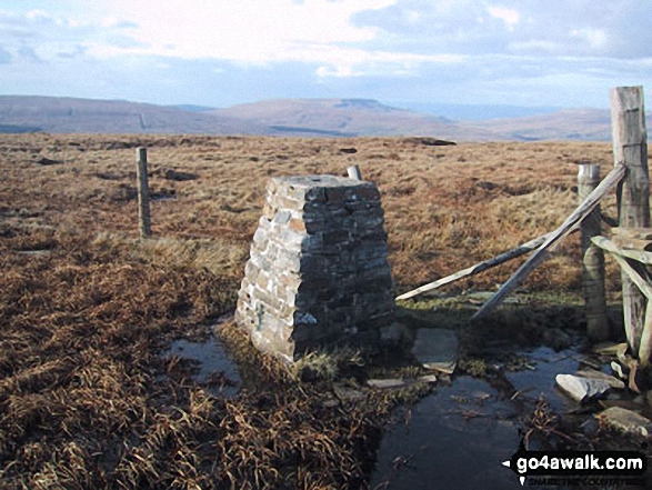
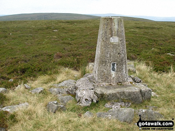
157. The Calf
676m (2,218ft)
Mountain (118th in England, 201st in England & Wales)
Nuttall (157th in England, 268th in England & Wales)
Marilyn (37th in England, 642nd in GB)
OS Trig Point
To walk, climb & bag The Calf use any of these easy-to-follow walks:
See the location of The Calf and walks up it on a google MapThe Calf is on interactive maps:
OS Explorer (Orange Covers): OL19
OS Landranger (Pink Covers): 98
The Calf is on downloadable PDF you can Print or Save to your Phone:
|
158. Knoutberry Haw
675m (2,217ft)
Nuttall (158th in England, 269th in England & Wales)
OS Trig Point
To walk, climb & bag Knoutberry Haw use this easy-to-follow walk:
See the location of Knoutberry Haw and walks up it on a google MapKnoutberry Haw is on interactive maps:
OS Explorer (Orange Covers): OL19
OS Landranger (Pink Covers): 98
Knoutberry Haw is on downloadable PDF you can Print or Save to your Phone:
|
159. Calders
675m (2,216ft)
Mountain (119th in England, 202nd in England & Wales)
Nuttall (159th in England, 270th in England & Wales)
To walk, climb & bag Calders use any of these easy-to-follow walks:
See the location of Calders and walks up it on a google MapCalders is on interactive maps:
OS Explorer (Orange Covers): OL19
OS Landranger (Pink Covers): 98
Calders is on downloadable PDF you can Print or Save to your Phone:
|
160. Westernhope Moor
675m (2,215ft)
Mountain (120th in England, 203rd in England & Wales)
Nuttall (160th in England, 272nd in England & Wales)
OS Trig Point
To walk, climb & bag Westernhope Moor use this easy-to-follow walk:
See the location of Westernhope Moor and walks up it on a google MapWesternhope Moor is on interactive maps:
OS Explorer (Orange Covers): OL31
OS Landranger (Pink Covers): 91 and
92
Westernhope Moor is on downloadable PDF you can Print or Save to your Phone:
|
161. Lovely Seat
675m (2,214ft)
Mountain (121st in England, 204th in England & Wales)
Nuttall (161st in England, 273rd in England & Wales)
Lovely Seat was promoted to Marilyn status in 1995 but demoted again in 2010.
To walk, climb & bag Lovely Seat use this easy-to-follow walk:
See the location of Lovely Seat and walks up it on a google MapLovely Seat is on interactive maps:
OS Explorer (Orange Covers): OL30
OS Landranger (Pink Covers): 98
Lovely Seat is on downloadable PDF you can Print or Save to your Phone:
|
162. Wether Hill (South Top)
674m (2,212ft)
Nuttall (162nd in England, 275th in England & Wales)
Wether Hill (South Top) was found to be slightly higher than Wether Hill in March 2012 so becomes the local 'Nuttall'. However Wether Hill remains the local 'Wainwright'.
To walk, climb & bag Wether Hill (South Top) use any of these easy-to-follow walks:
See the location of Wether Hill (South Top) and walks up it on a google MapWether Hill (South Top) is on interactive maps:
OS Explorer (Orange Covers): OL5
OS Landranger (Pink Covers): 90
Wether Hill (South Top) is on downloadable PDF you can Print or Save to your Phone:
*Version including the walk routes marked on it that you need to follow to Walk all 214 Wainwrights in just 59 walks. |
163. Murton Fell
673m (2,210ft)
Mountain (122nd in England, 206th in England & Wales)
Nuttall (163rd in England, 276th in England & Wales)
To walk, climb & bag Murton Fell use either of these easy-to-follow walks:
See the location of Murton Fell and walks up it on a google MapMurton Fell is on interactive maps:
OS Explorer (Orange Covers): OL19
OS Landranger (Pink Covers): 91
Murton Fell is on downloadable PDF you can Print or Save to your Phone:
|
164. Branstree (North East Top)
673m (2,208ft)
Nuttall (164th in England, 277th in England & Wales)
To walk, climb & bag Branstree (North East Top) use any of these easy-to-follow walks:
See the location of Branstree (North East Top) and walks up it on a google MapBranstree (North East Top) is on interactive maps:
OS Explorer (Orange Covers): OL5 and
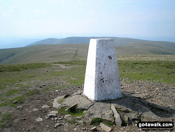
OL7
OS Landranger (Pink Covers): 90
Branstree (North East Top) is on downloadable PDF you can Print or Save to your Phone:
*Version including the walk routes marked on it that you need to follow to Walk all 214 Wainwrights in just 59 walks. |
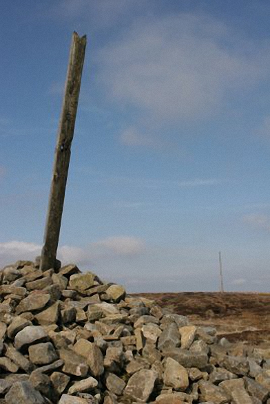
165. Killhope Law
673m (2,208ft)
Mountain (123rd in England, 207th in England & Wales)
Nuttall (165th in England, 278th in England & Wales)
OS Trig Point
To walk, climb & bag Killhope Law use any of these easy-to-follow walks:
See the location of Killhope Law and walks up it on a google MapKillhope Law is on interactive maps:
OS Explorer (Orange Covers): OL31
OS Landranger (Pink Covers): 86 and
87
Killhope Law is on downloadable PDF you can Print or Save to your Phone:
|
166. Great Knoutberry Hill (Widdale Fell)
672m (2,205ft)
Mountain (124th in England, 209th in England & Wales)
Nuttall (166th in England, 280th in England & Wales)
Marilyn (38th in England, 647th in GB)
OS Trig Point
To walk, climb & bag Great Knoutberry Hill (Widdale Fell) use any of these easy-to-follow walks:
See the location of Great Knoutberry Hill (Widdale Fell) and walks up it on a google MapGreat Knoutberry Hill (Widdale Fell) is on interactive maps:
OS Explorer (Orange Covers): OL2
OS Landranger (Pink Covers): 98
Great Knoutberry Hill (Widdale Fell) is on downloadable PDF you can Print or Save to your Phone:
|
167. Loadpot Hill
672m (2,205ft)
Wainwright (No. 102)
Mountain (125th in England, 210th in England & Wales)
Nuttall (167th in England, 281st in England & Wales)
OS Trig Point
To walk, climb & bag Loadpot Hill use any of these easy-to-follow walks:
See the location of Loadpot Hill and walks up it on a google MapLoadpot Hill is on interactive maps:
OS Explorer (Orange Covers): OL5
OS Landranger (Pink Covers): 90
Loadpot Hill is on downloadable PDF you can Print or Save to your Phone:
*Version including the walk routes marked on it that you need to follow to Walk all 214 Wainwrights in just 59 walks. |
168. Rogan's Seat
672m (2,205ft)
Mountain (126th in England, 211th in England & Wales)
Nuttall (168th in England, 282nd in England & Wales)
Marilyn (39th in England, 648th in GB)
To walk, climb & bag Rogan's Seat use this easy-to-follow walk:
See the location of Rogan's Seat and walks up it on a google MapRogan's Seat is on interactive maps:
OS Explorer (Orange Covers): OL30
OS Landranger (Pink Covers): 91 and
92
Rogan's Seat is on downloadable PDF you can Print or Save to your Phone:
|
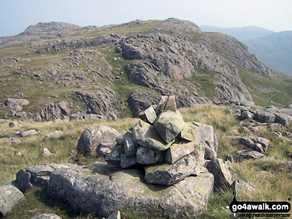
169. Scar Crags
672m (2,205ft)
Wainwright (No. 101)
Mountain (127th in England, 212th in England & Wales)
Nuttall (169th in England, 283rd in England & Wales)
To walk, climb & bag Scar Crags use any of these easy-to-follow walks:
See the location of Scar Crags and walks up it on a google MapScar Crags is on interactive maps:
OS Explorer (Orange Covers): OL4
OS Landranger (Pink Covers): 89 and
90
Scar Crags is on downloadable PDF you can Print or Save to your Phone:
*Version including the walk routes marked on it that you need to follow to Walk all 214 Wainwrights in just 59 walks. |
170. Cold Pike (Far West Top)
670m (2,199ft)
Nuttall (170th in England, 285th in England & Wales)
To walk, climb & bag Cold Pike (Far West Top) use this easy-to-follow walk:
See the location of Cold Pike (Far West Top) and walks up it on a google MapCold Pike (Far West Top) is on interactive maps:
OS Explorer (Orange Covers): OL6
OS Landranger (Pink Covers): 89 or
90
Cold Pike (Far West Top) is on downloadable PDF you can Print or Save to your Phone:
*Version including the walk routes marked on it that you need to follow to Walk all 214 Wainwrights in just 59 walks. |
171. Dodd Fell Hill
668m (2,192ft)
Mountain (128th in England, 218th in England & Wales)
Nuttall (171st in England, 289th in England & Wales)
Marilyn (40th in England, 655th in GB)
OS Trig Point
To walk, climb & bag Dodd Fell Hill use this easy-to-follow walk:
See the location of Dodd Fell Hill and walks up it on a google MapDodd Fell Hill is on interactive maps:
OS Explorer (Orange Covers): OL2 and
OL30
OS Landranger (Pink Covers): 98
Dodd Fell Hill is on downloadable PDF you can Print or Save to your Phone:
|
172. Fountains Fell
668m (2,192ft)
Mountain (129th in England, 220th in England & Wales)
Nuttall (172nd in England, 292nd in England & Wales)
Marilyn (41st in England, 657th in GB)
To walk, climb & bag Fountains Fell use this easy-to-follow walk:
See the location of Fountains Fell and walks up it on a google MapFountains Fell is on interactive maps:
OS Explorer (Orange Covers): OL2
OS Landranger (Pink Covers): 98
Fountains Fell is on downloadable PDF you can Print or Save to your Phone:
|
173. Water Crag (Arkengarthdale)
668m (2,192ft)
Nuttall (173rd in England, 293rd in England & Wales)
OS Trig Point
To walk, climb & bag Water Crag (Arkengarthdale) use this easy-to-follow walk:
See the location of Water Crag (Arkengarthdale) and walks up it on a google MapWater Crag (Arkengarthdale) is on interactive maps:
OS Explorer (Orange Covers): OL30
OS Landranger (Pink Covers): 91 and
92
Water Crag (Arkengarthdale) is on downloadable PDF you can Print or Save to your Phone:
|
174. Little Fell (Lunds Fell) (Mallerstang)
667m (2,189ft)
Mountain (130th in England, 221st in England & Wales)
Nuttall (174th in England, 294th in England & Wales)
A survey in Oct 2022 detrmined that the summit of Little Fell was at Sails, 500m S of the high point marked on OS Map OL19. However, the name of top remains Little Fell (Lunds Fell) (Mallerstang).
To walk, climb & bag Little Fell (Lunds Fell) (Mallerstang) use this easy-to-follow walk:
See the location of Little Fell (Lunds Fell) (Mallerstang) and walks up it on a google MapLittle Fell (Lunds Fell) (Mallerstang) is on interactive maps:
OS Explorer (Orange Covers): OL19
OS Landranger (Pink Covers): 98
Little Fell (Lunds Fell) (Mallerstang) is on downloadable PDF you can Print or Save to your Phone:
|
175. Sale How (Skiddaw)
666m (2,185ft)
Nuttall (175th in England, 296th in England & Wales)
To walk, climb & bag Sale How (Skiddaw) use this easy-to-follow walk:
See the location of Sale How (Skiddaw) and walks up it on a google MapSale How (Skiddaw) is on interactive maps:
OS Explorer (Orange Covers): OL4
OS Landranger (Pink Covers): 89 and
90
Sale How (Skiddaw) is on downloadable PDF you can Print or Save to your Phone:
*Version including the walk routes marked on it that you need to follow to Walk all 214 Wainwrights in just 59 walks. |
176. Black Fell (Haresceugh Fell)
664m (2,179ft)
Mountain (131st in England, 224th in England & Wales)
Nuttall (176th in England, 298th in England & Wales)
OS Trig Point
To walk, climb & bag Black Fell (Haresceugh Fell) use either of these easy-to-follow walks:
See the location of Black Fell (Haresceugh Fell) and walks up it on a google MapBlack Fell (Haresceugh Fell) is on interactive maps:
OS Explorer (Orange Covers): OL31
OS Landranger (Pink Covers): 86
Black Fell (Haresceugh Fell) is on downloadable PDF you can Print or Save to your Phone:
|
177. Tarn Crag (Sleddale)
664m (2,179ft)
Wainwright (No. 104)
Mountain (132nd in England, 225th in England & Wales)
Nuttall (177th in England, 300th in England & Wales)
Marilyn (42nd in England, 667th in GB)
To walk, climb & bag Tarn Crag (Sleddale) use this easy-to-follow walk:
See the location of Tarn Crag (Sleddale) and walks up it on a google MapTarn Crag (Sleddale) is on interactive maps:
OS Explorer (Orange Covers): OL7
OS Landranger (Pink Covers): 90
Tarn Crag (Sleddale) is on downloadable PDF you can Print or Save to your Phone:
*Version including the walk routes marked on it that you need to follow to Walk all 214 Wainwrights in just 59 walks. |
178. Fountains Fell (South Top)
663m (2,176ft)
Nuttall (178th in England, 301st in England & Wales)
To walk, climb & bag Fountains Fell (South Top) use this easy-to-follow walk:
See the location of Fountains Fell (South Top) and walks up it on a google MapFountains Fell (South Top) is on interactive maps:
OS Explorer (Orange Covers): OL2
OS Landranger (Pink Covers): 98
Fountains Fell (South Top) is on downloadable PDF you can Print or Save to your Phone:
|
179. Carrock Fell
662m (2,173ft)
Wainwright (No. 106)
Mountain (133rd in England, 228th in England & Wales)
Nuttall (179th in England, 304th in England & Wales)
OS Trig Point
To walk, climb & bag Carrock Fell use either of these easy-to-follow walks:
See the location of Carrock Fell and walks up it on a google MapCarrock Fell is on interactive maps:
OS Explorer (Orange Covers): OL5
OS Landranger (Pink Covers): 90
Carrock Fell is on downloadable PDF you can Print or Save to your Phone:
*Version including the walk routes marked on it that you need to follow to Walk all 214 Wainwrights in just 59 walks. |
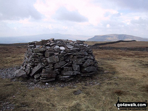
180. Nine Standards Rigg
662m (2,172ft)
Mountain (134th in England, 229th in England & Wales)
Nuttall (180th in England, 306th in England & Wales)
Marilyn (43rd in England, 673rd in GB)
OS Trig Point
To walk, climb & bag Nine Standards Rigg use any of these easy-to-follow walks:
See the location of Nine Standards Rigg and walks up it on a google MapNine Standards Rigg is on interactive maps:
OS Explorer (Orange Covers): OL19
OS Landranger (Pink Covers): 91 and
92
Nine Standards Rigg is on downloadable PDF you can Print or Save to your Phone:
|
Page 6 of 9 Go to page:
1 2 3 4 5 6 7 8 9 |
View these 254 Mountains, Peaks, Tops and Hills:
Is there a Mountain, Peak, Top or Hill missing from the above google map or list?
Let us know an we will add it to our database.

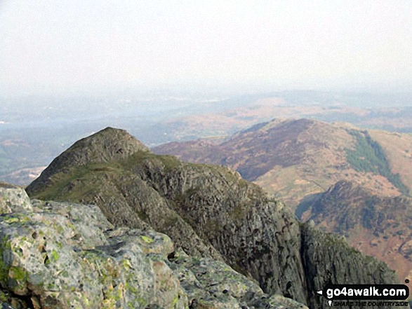


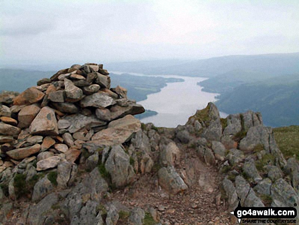


 The view from Scafell Pike in England


