   |
Vital Statistics:
| Length: | 8½mls (13.5km) |
| Ascent: | 2,406ft (733m) |
| Time: | 5½hrs |
| Grade: |  |
Route outline for walk gw132:
Llynnau Cregennen - Hafotty-fach - Craig-y-llyn - Tyrrau Mawr (Craig-las) - Tyrau Mawr (Craig-las) - Carnedd Lwyd - Rhiw Gwerdydd - Pony Path - Dyffr-ydan - Cefn-yr-Owen Isaf - Ty'n-llidiart - Llynnau Cregennen
Points of Interest/Notes on this walk:
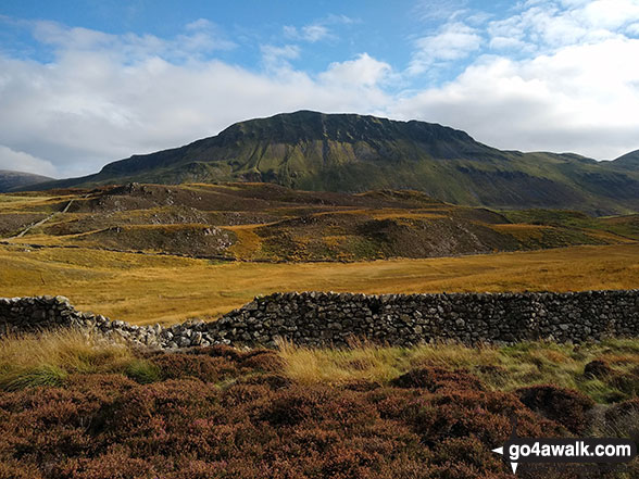
Tyrau Mawr (big towers) is spelt incorrectly on the OS map as Tyrrau Mawr. It is also sometimes referred to as just Craig-las (the name of the crags).
Peaks, Summits and Tops reached on this walk:
 2 Welsh Mountains |
 0 Wainwrights |
 2 Welsh Nuttalls |
 0 Welsh Deweys |
 0 Wainwright Outlying Fells |
 0 Welsh Marilyns |
 0 Bridgets |
Peak Bagging Statistics for this walk:
The highest point of this walk is Tyrrau Mawr (Craig-las) at 661m (2169ft). Tyrrau Mawr (Craig-las) is classified as a Welsh Mountain (Hewitt) (96th highest in Wales, 231st highest in England & Wales)
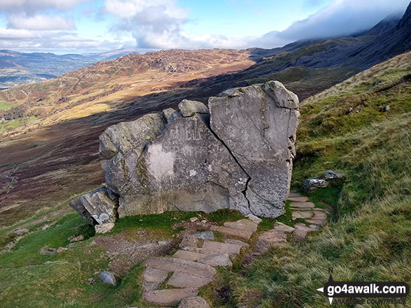
Tyrrau Mawr (Craig-las) is also known as a Welsh Nuttall (128th highest in Wales, 308th highest in England & Wales). The summit of Tyrrau Mawr (Craig-las) is marked by a fence junction.
Completing this walk will also take you to the top of Craig-y-llyn at 622m (2041ft). Craig-y-llyn is classified as a Welsh Mountain (Hewitt) (122nd highest in Wales, 288th highest in England & Wales)
Craig-y-llyn is also known as a Welsh Nuttall (169th highest in Wales, 396th highest in England & Wales). The summit of Craig-y-llyn is umarked.
You can find this walk and other nearby walks on these unique free-to-access Interactive Walk Planning Maps:
1:25,000 scale OS Explorer Map (orange/yellow covers):
1:50,000 scale OS Landranger Map (pink/magenta covers):
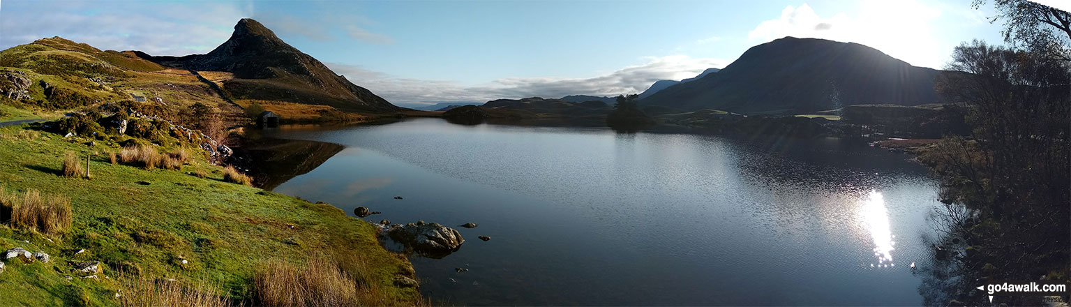
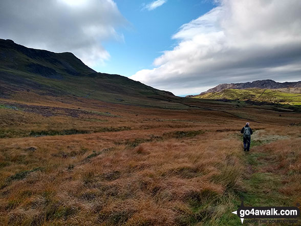
Some Photos and Pictures from Walk gw132 Tyrrau Mawr (Craig-las) and Craig-y-llyn from Llynnau Cregennen
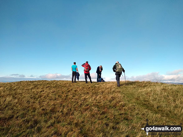
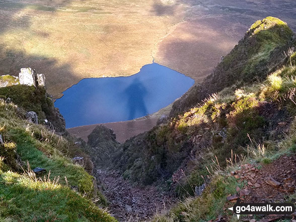
In no particular order . . .
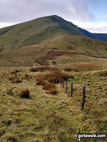
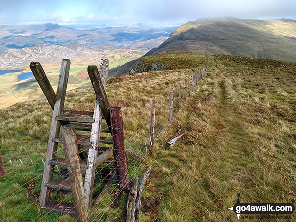
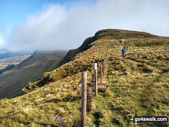
Ladder stile on the summit of Tyrrau Mawr (Craig-las) with Cyfrwy (The Saddle) and Cadair Idris (Penygadair) in the background

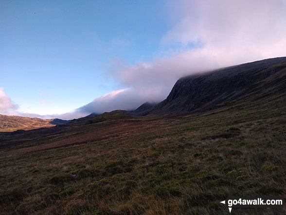
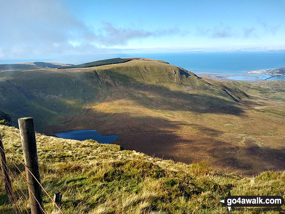
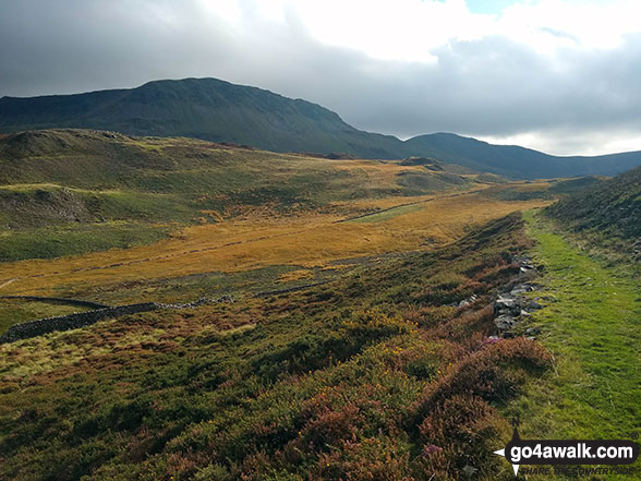
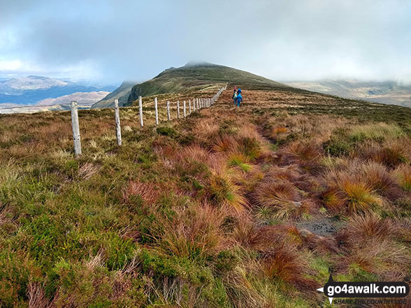
Cyfrwy (The Saddle) and Cadair Idris (Penygadair) consumed by cloud from Rhiw Gwredydd
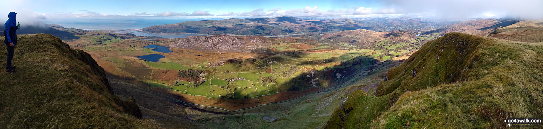
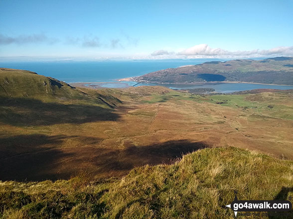
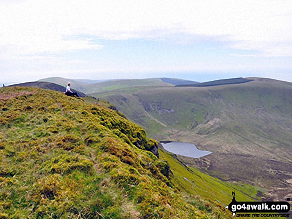
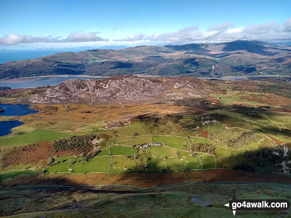
Barmouth and the Mawddach Estuary from the summit of Tyrrau Mawr (Craig-las)
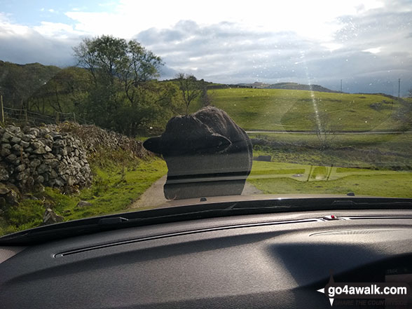
A large and very stubborn Bull standing in the middle of the leading road down from Llynnau Cregennen
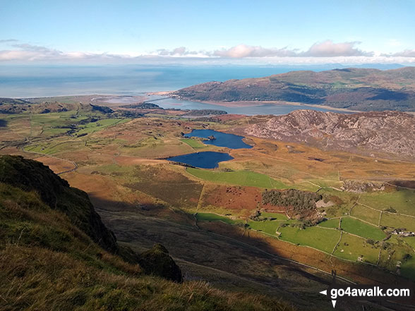
Barmouth and the Mawddach Estuary from the summit of Tyrrau Mawr (Craig-las)
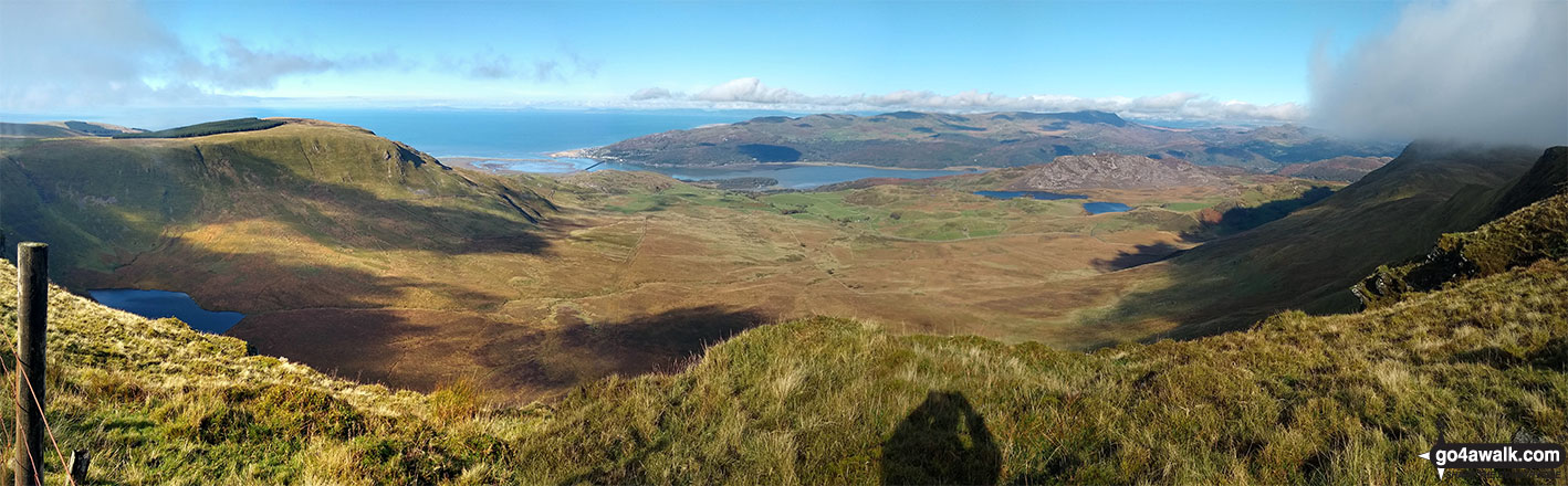
The Mawddach Estuary and the Y Garn (Rhinogs) massiff beyond from the summit of Tyrrau Mawr (Craig-las)
Send us your photographs and pictures from your walks and hikes
We would love to see your photographs and pictures from walk gw132 Tyrrau Mawr (Craig-las) and Craig-y-llyn from Llynnau Cregennen. Send them in to us as email attachments (configured for any computer) along with your name and where the picture was taken to:
and we shall do our best to publish them.
(Guide Resolution = 300dpi. At least = 660 pixels (wide) x 440 pixels (high).)

You can also submit photos from walk gw132 Tyrrau Mawr (Craig-las) and Craig-y-llyn from Llynnau Cregennen via our Facebook Page.
NB. Please indicate where each photo was taken.


