   |
Vital Statistics:
| Length: | 10¾mls (17km) |
| Ascent: | 2,242ft (683m) |
| Time: | 6¼hrs |
| Grade: |  |

Route outline for walk d156:
Bowden Bridge - Hayfield - Booth Sheepwash - Farlands - Broad Clough - Kinderlow End - Three Knolls - Cluther Rocks - Red Brook - The Pennine Way - Kinder Downfall - Kinder Low (Kinder Scout) - Brown Knoll (Edale) - South Head (Hayfield) - Mount Famine - Elle Bank - The Pennine Bridleway - Tunstead House - Hayfield
Peaks, Summits and Tops reached on this walk:
 0 English Mountains |
 0 Wainwrights |
 0 English Nuttalls |
 1 English Dewey |
 0 Wainwright Outlying Fells |
 0 Marilyns |
 3 Bridgets |
Peak Bagging Statistics for this walk:
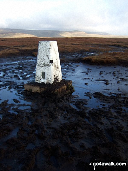
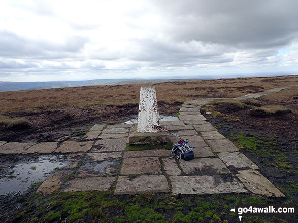
The highest point of this walk is Kinder Low (Kinder Scout) at 633m (2078ft). Kinder Low (Kinder Scout) is known as an English Bridget. The summit of Kinder Low (Kinder Scout) is marked by an Ordnance Survey Trig Point.
Completing this walk will also take you to the top of Brown Knoll (Edale) at 569m (1867ft). Brown Knoll (Edale) is also known as an English Dewey (41st highest in England, 91st in England & Wales) The summit of Brown Knoll (Edale) is marked by an Ordnance Survey Trig Point.
You will also reach the summit of South Head (Hayfield) at 494m (1621ft). South Head (Hayfield) is known as an English Bridget.
Along the way you will also bag:
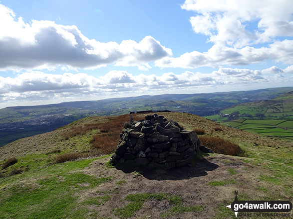
- Mount Famine at 473m (1552ft). Mount Famine is known as an English Bridget.
National Trails & Long Paths included on this walk:
Part of this walk follows a section of The Pennine Way, a 404km (251 miles) linear footpath connecting Edale in Derbyshire, England with Kirk Yetholm in The Borders, Scotland. The Pennine Way is waymarked by a National Trail Acorn. For more walks that include a section of this trail see The Pennine Way.
You can find this walk and other nearby walks on these unique free-to-access Interactive Walk Planning Maps:
1:25,000 scale OS Explorer Map (orange/yellow covers):
1:50,000 scale OS Landranger Map (pink/magenta covers):
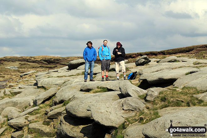
Some Photos and Pictures from Walk d156 Kinder Low (Kinder Scout), Brown Knoll (Edale), South Head (Hayfield) and Mount Famine from Bowden Bridge, Hayfield
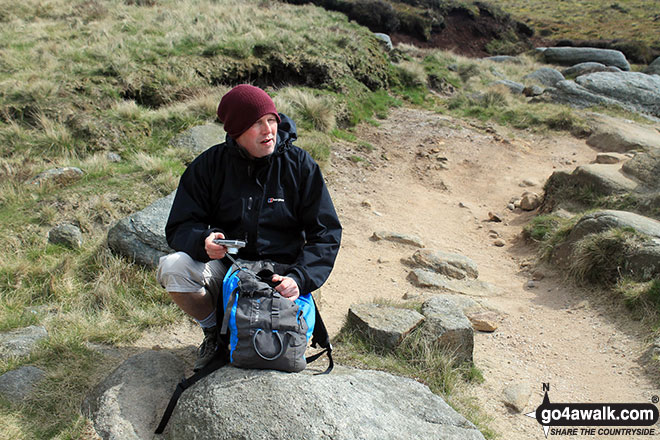
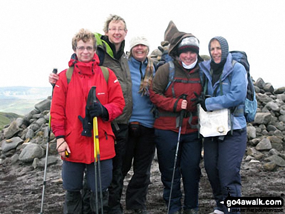
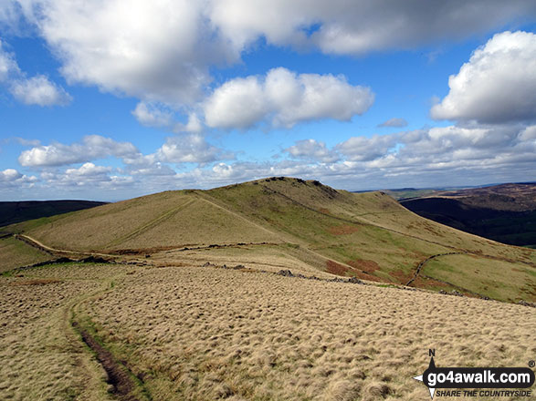
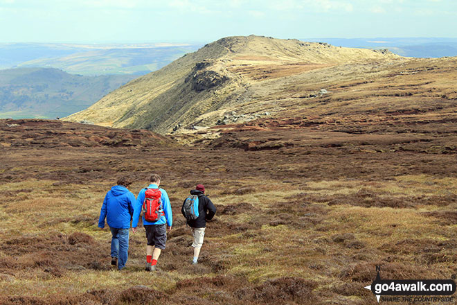
In no particular order . . .
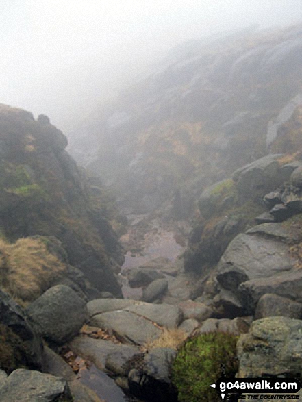


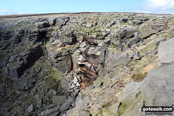
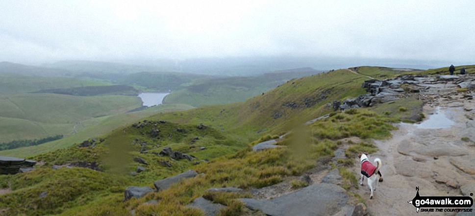
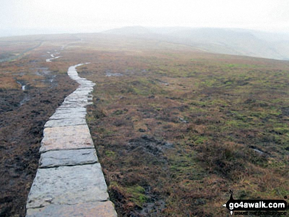
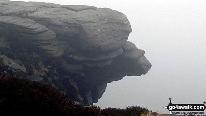
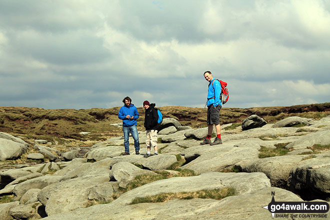
Near Sandy Heys on The Pennine Way approaching Kinder Downfall with Cluther Rocks beyond


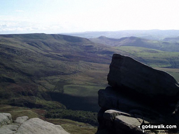
Pym Chair and Crowden Tower from the Pennine Way near Kinder Low (Kinder Scout)


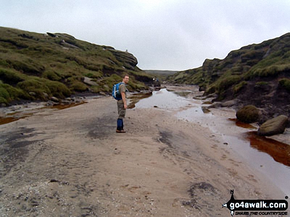
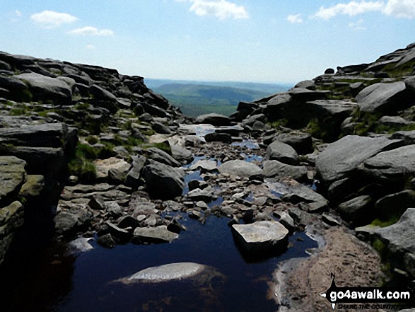
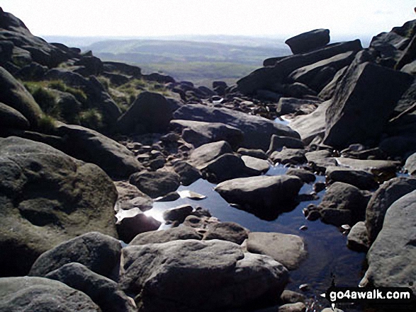
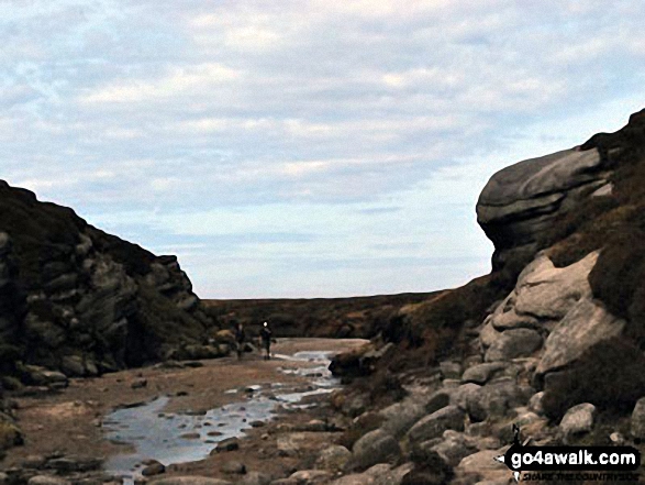
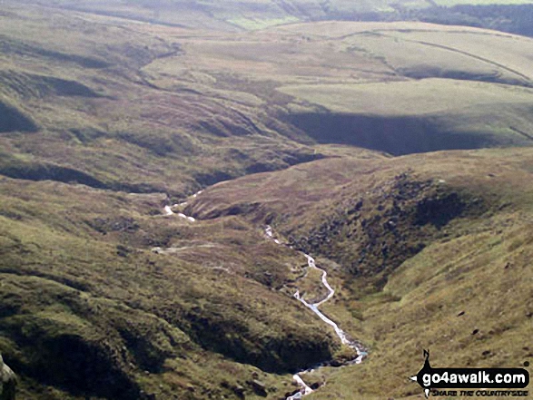
The surprisingly sandy bed of the River Kinder on The Kinder Plateau, Kinder Scout, east of Kinder Downfall


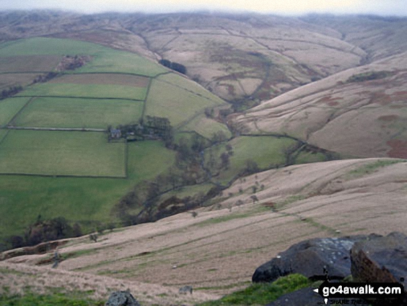
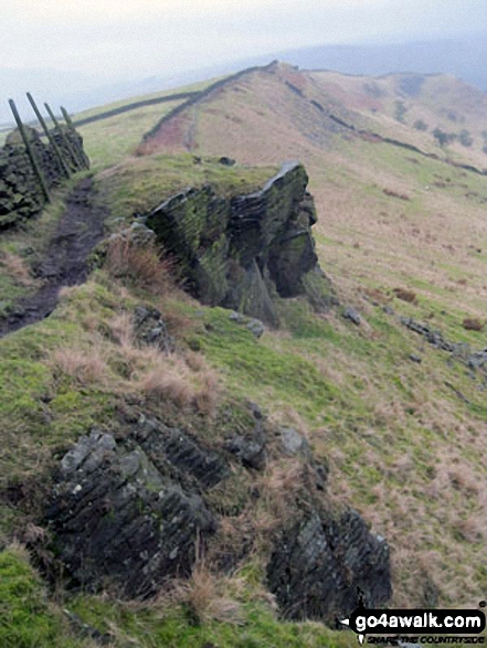
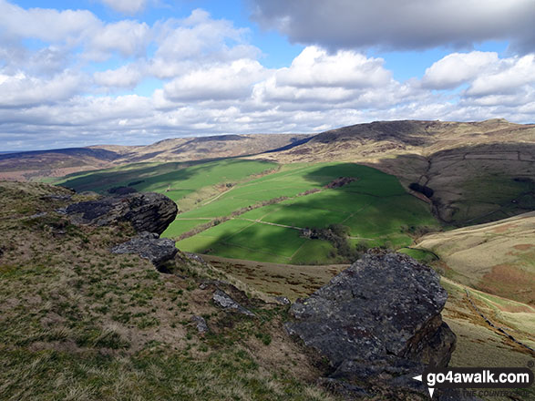
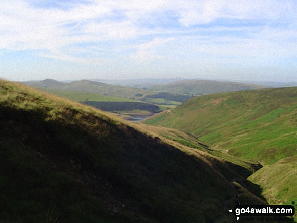
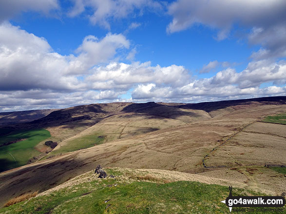
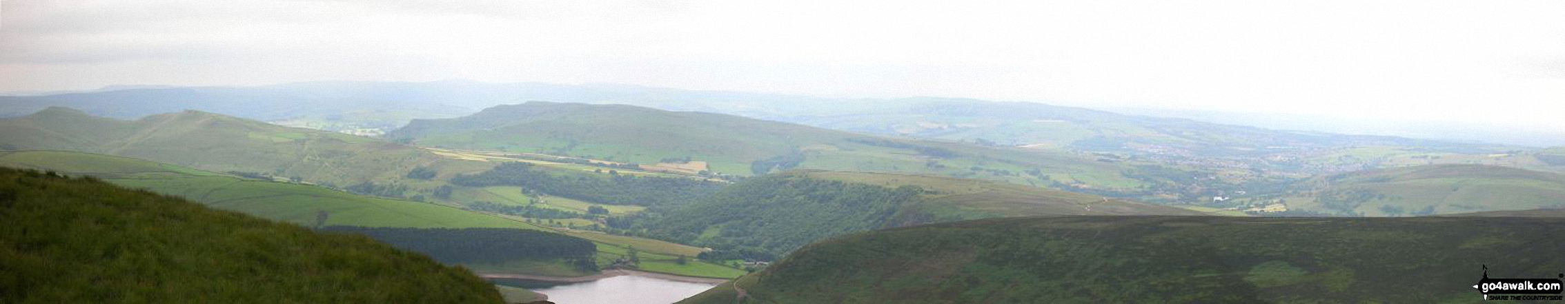
South Head (Hayfield) and Mount Famine from the Pennine Bridleway near Elle Bank

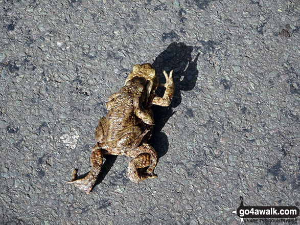
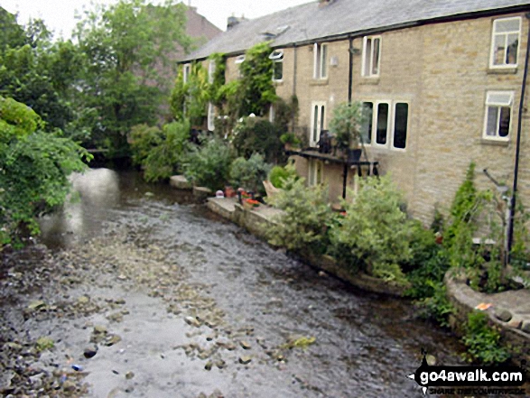
'Caution: Toads Crossing' sign on the road near Bowden Bridge, Hayfield
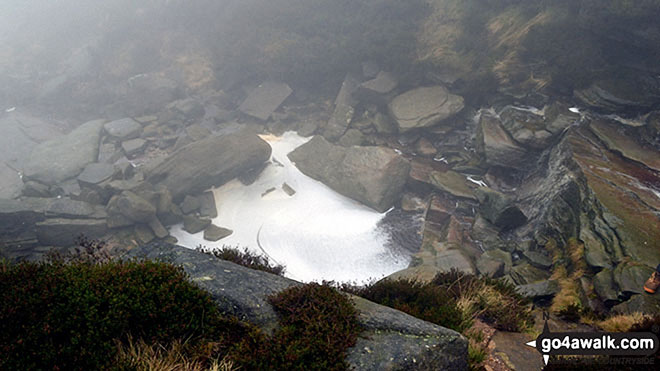


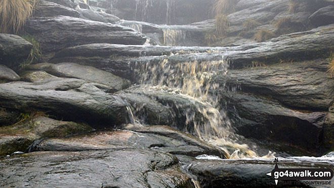
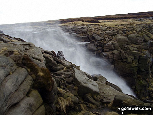
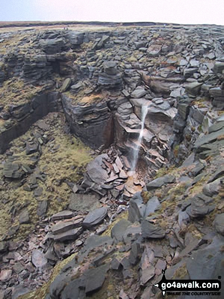
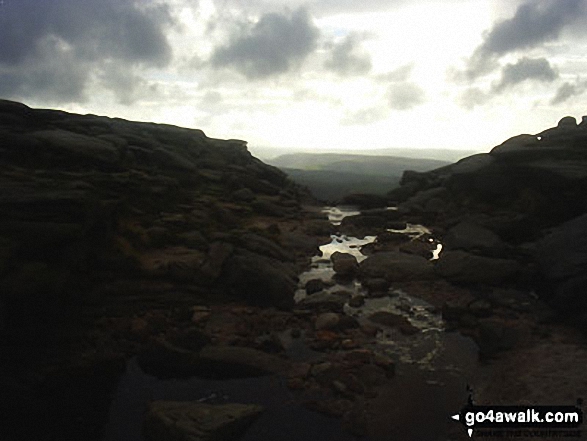
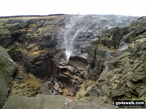
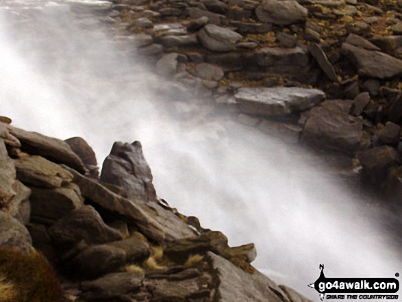
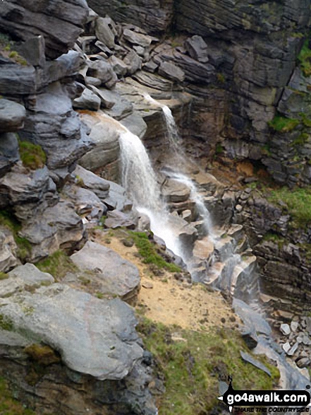
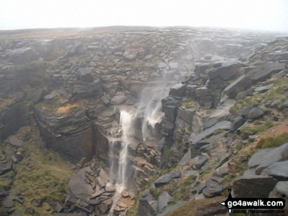
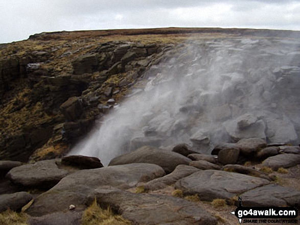
The River Kinder flowing towards the waterfall at Kinder Downfall on the Kinder Scout Plateau


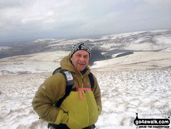
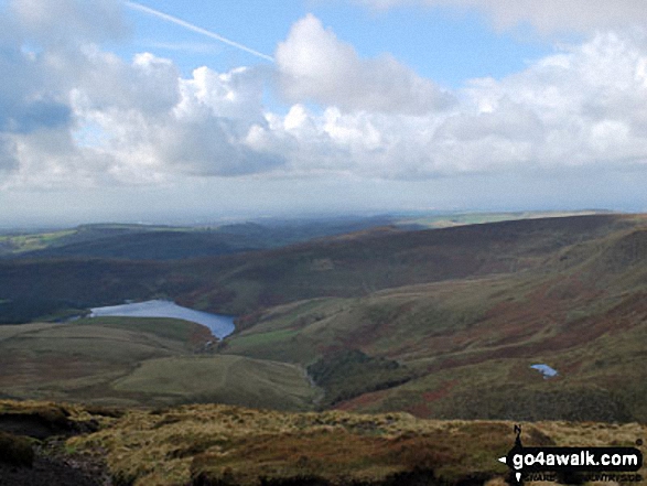
My friend Wiktor on the top of Kinder Scout with Hayfield Reservoir shimmering below

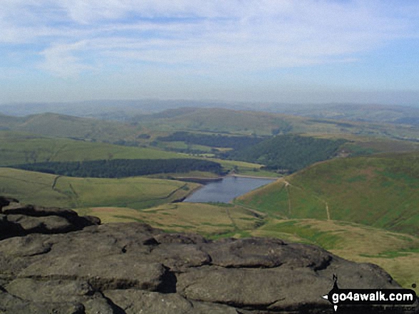
Kinder Reservoir from The Pennine Way on The Kinder Scout Plateau near Kinder Downfall


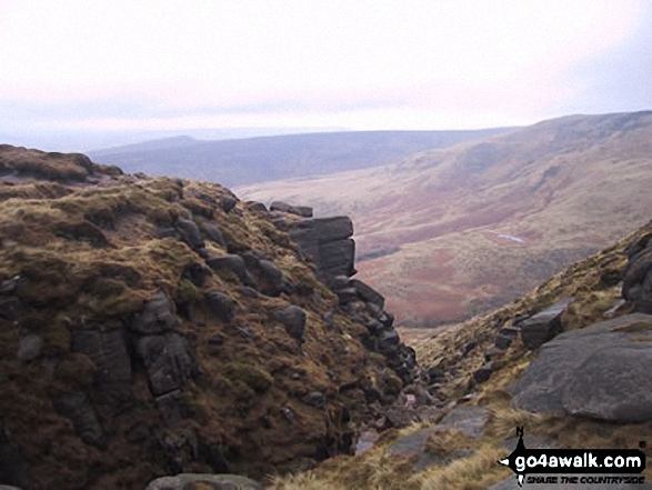
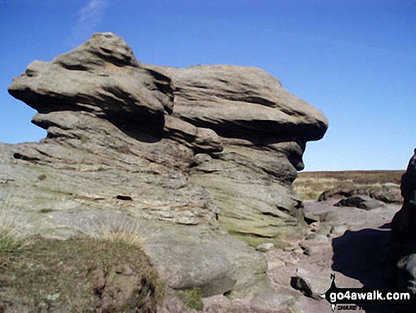
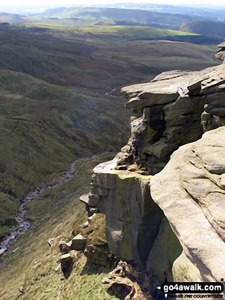
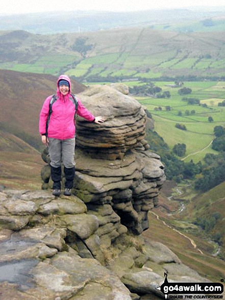
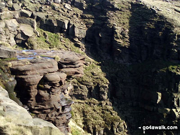
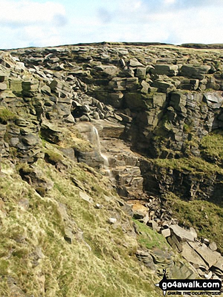
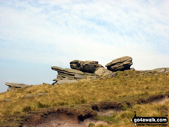
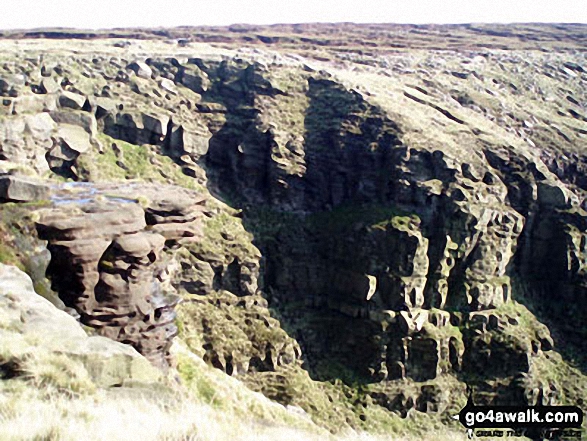
Rock formations on the northern edge of Kinder Scout with Featherbed Moss over Black Ashop Moor in the background.


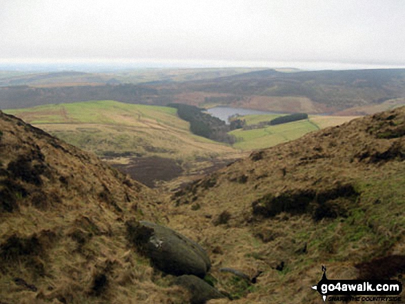
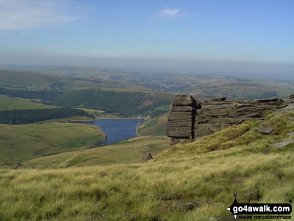
Kinder Reservoir and Mermaid's Pool from near the Kinder Downfall, Kinder Scout


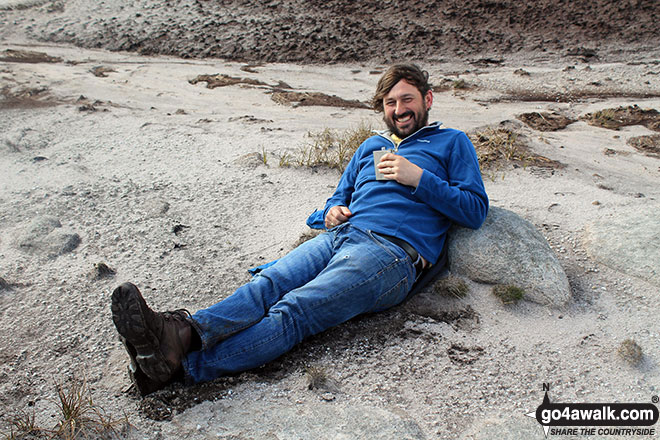
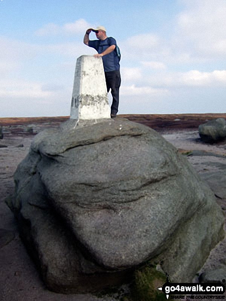

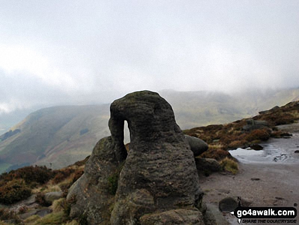
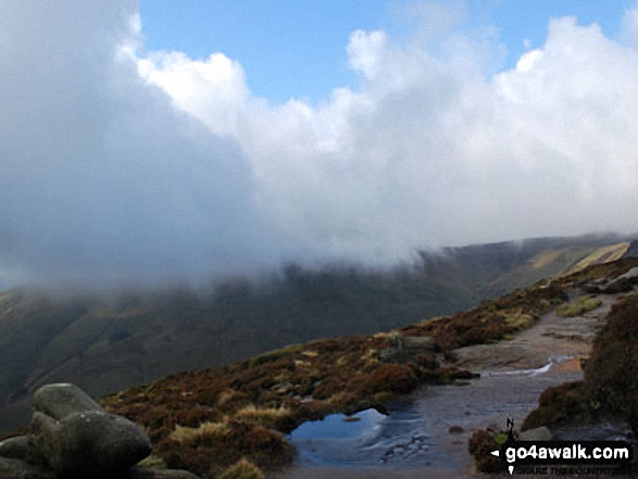
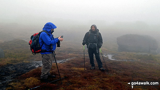
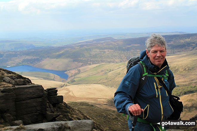
My partner Steve Bradbury on the summit of Mount Famine just as the mist lifted giving a glorious sunny day

Send us your photographs and pictures from your walks and hikes
We would love to see your photographs and pictures from walk d156 Kinder Low (Kinder Scout), Brown Knoll (Edale), South Head (Hayfield) and Mount Famine from Bowden Bridge, Hayfield. Send them in to us as email attachments (configured for any computer) along with your name and where the picture was taken to:
and we shall do our best to publish them.
(Guide Resolution = 300dpi. At least = 660 pixels (wide) x 440 pixels (high).)

You can also submit photos from walk d156 Kinder Low (Kinder Scout), Brown Knoll (Edale), South Head (Hayfield) and Mount Famine from Bowden Bridge, Hayfield via our Facebook Page.
NB. Please indicate where each photo was taken.


