|
Vital Statistics:
| Length: | 6¾mls (11km) |
| Ascent: | 2,819ft (859m) |
| Time: | 5½hrs |
| Grade: |  |
Route outline for walk cw108:
Plas y Brenin - Capel Curig - Llynnau Mymbyr - Plas y Brenin Path - Coed Bryn-engan - Carnedd Moel Siabod - Rhos Farm - Pont Cyfyng - Afon Llugwy - Coed Bryn-engan - Plas y Brenin - Capel Curig
Peaks, Summits and Tops reached on this walk:
 1 Welsh Mountain |
 0 Wainwrights |
 1 Welsh Nuttall |
 0 Welsh Deweys |
 0 Wainwright Outlying Fells |
 1 Welsh Marilyn |
 0 Bridgets |
Peak Bagging Statistics for this walk:
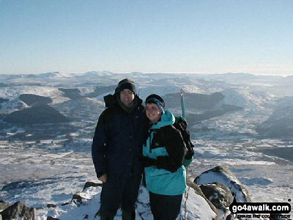
The highest point of this walk is Carnedd Moel Siabod at 872m (2861ft). Carnedd Moel Siabod is classified as a Welsh Mountain (Hewitt) (21st highest in Wales, 36th highest in England & Wales)
Carnedd Moel Siabod is also known as a Welsh Nuttall (23rd highest in Wales, 41st highest in England & Wales) and a Welsh Marilyn (11th highest in Wales, 281st highest in the UK).
Carnedd Moel Siabod means 'Cairn on Siabod Bare Hill' in Welsh and is pronounced 'kan-neth moy-el shee-bodd'.
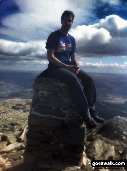
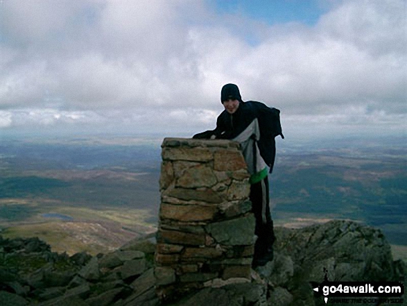
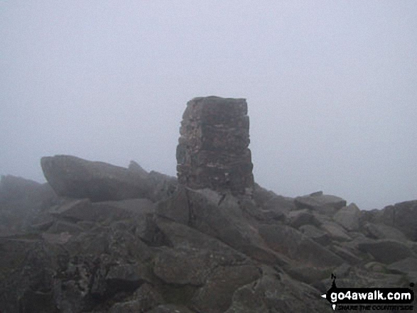
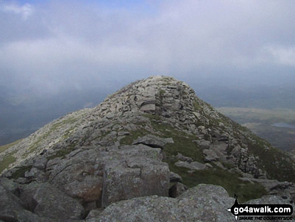
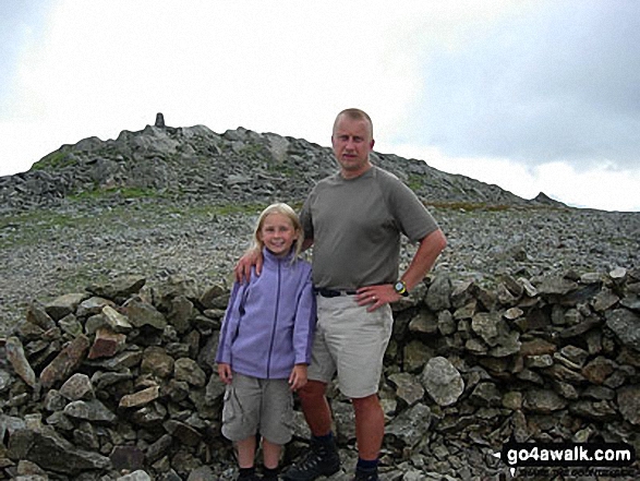
The summit of Carnedd Moel Siabod is marked by an Ordnance Survey Trig Point & a large circular stone wind break.
You can find this walk and other nearby walks on these unique free-to-access Interactive Walk Planning Maps:
1:25,000 scale OS Explorer Maps (orange/yellow covers):
1:50,000 scale OS Landranger Map (pink/magenta covers):
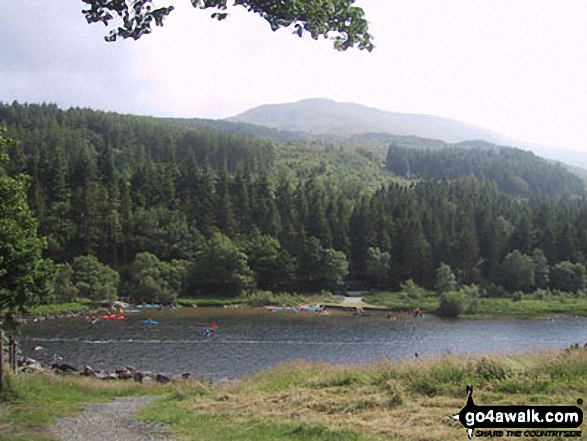
Some Photos and Pictures from Walk cw108 Carnedd Moel Siabod from Plas y Brenin, Capel Curig
In no particular order . . .
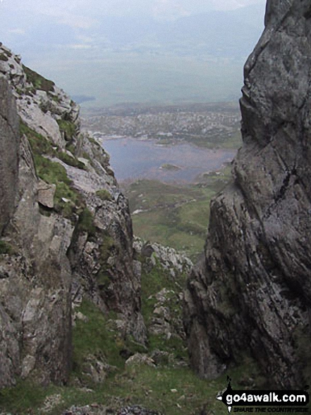
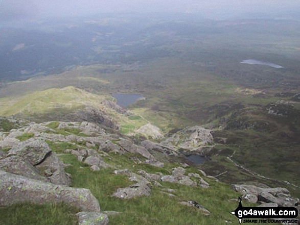
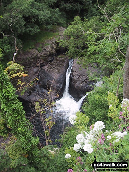
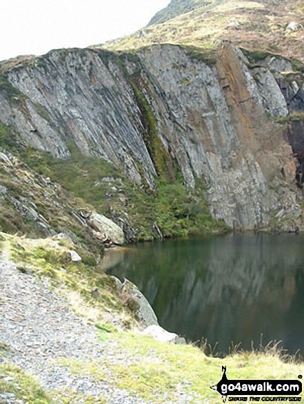
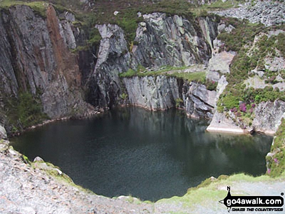
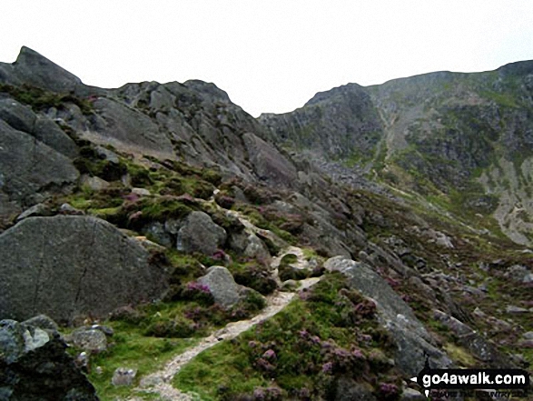
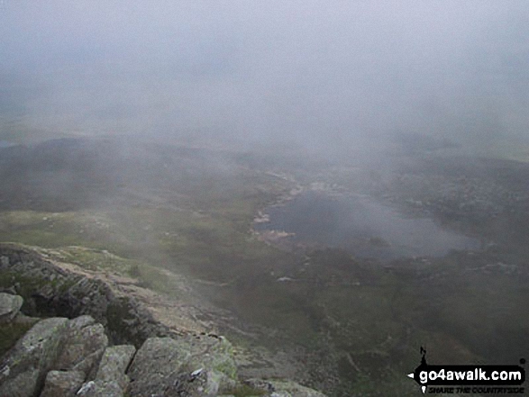
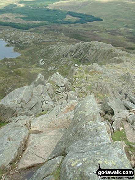
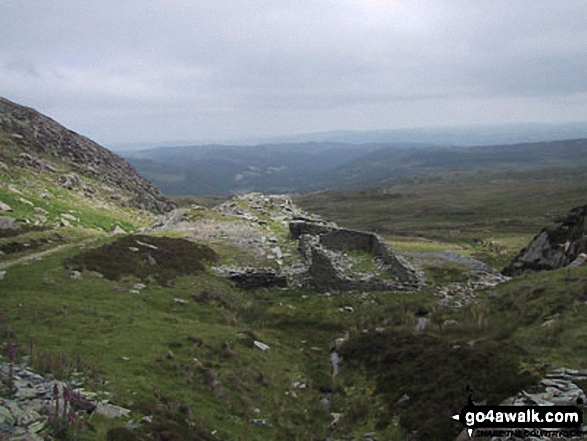
Quarry pool by the Miners' track on the lower NE slopes of Carnedd Moel Siabod
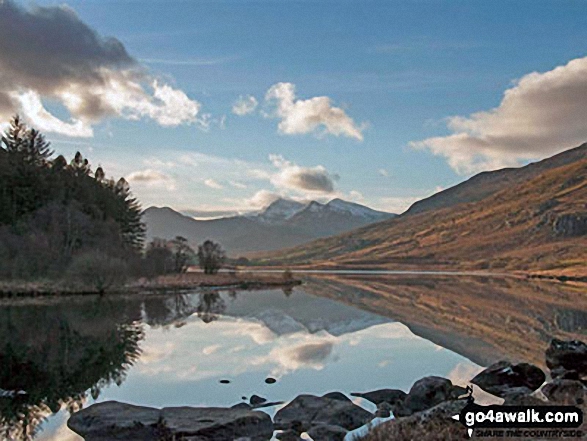
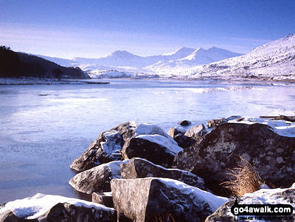
Snowdon Horseshoe reflected in Llynnau Mymbyr near Plas Y Brenin featuring Y Lliwedd (left) and Snowdon (Yr Wyddfa), Crib Goch and Garnedd Ugain (Crib y Ddysgl) (right)
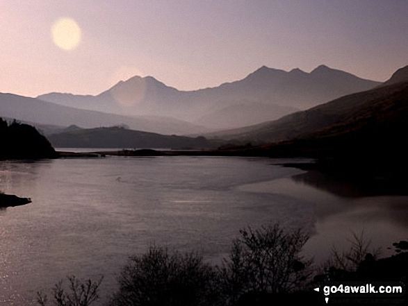
Y Lliwedd (centre left), Snowdon and Crib Goch (right) across Llynnau Mymbyr from Plas y Brenin near Capel Curig
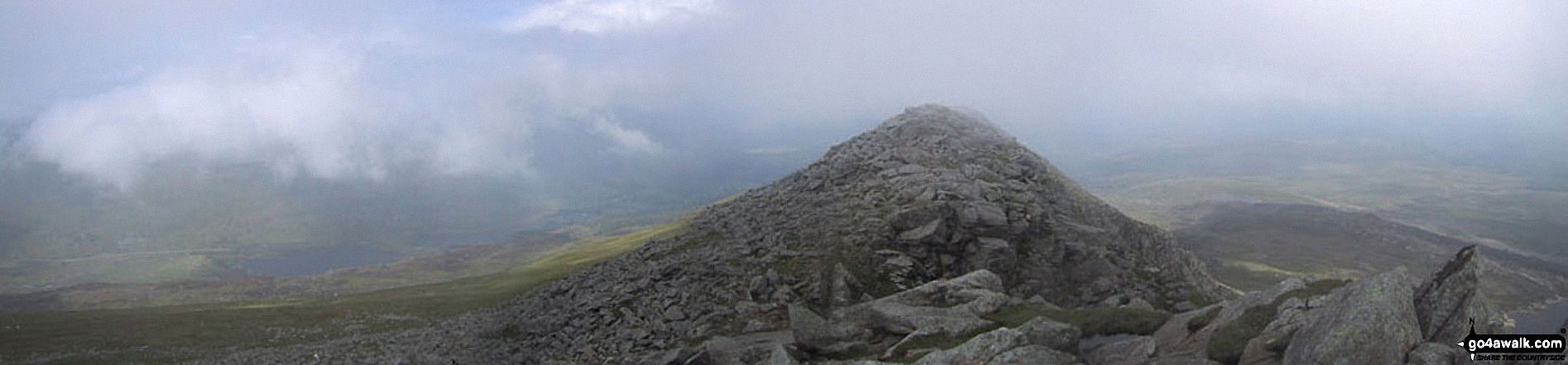
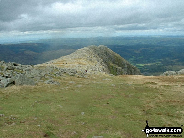
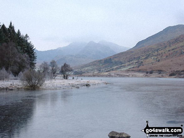
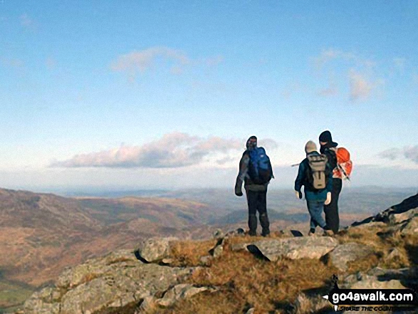
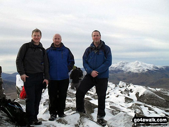
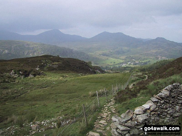
*The Carneddau, Llynnau Mymbyr, Plas Y Brenin, Capel Curig, The Moel Siabod Ridge and Betws-y-Coed from Carnedd Moel Siabod
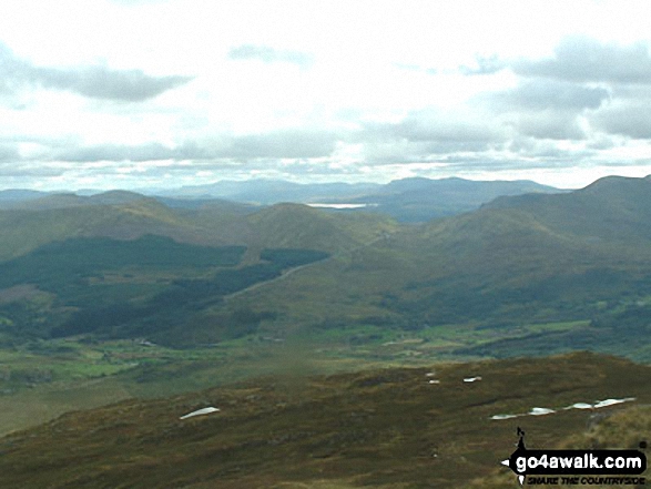
A distant view of Cadair Idris and The Rhinogs from the SE ridge of Carnedd Moel Siabod
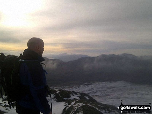
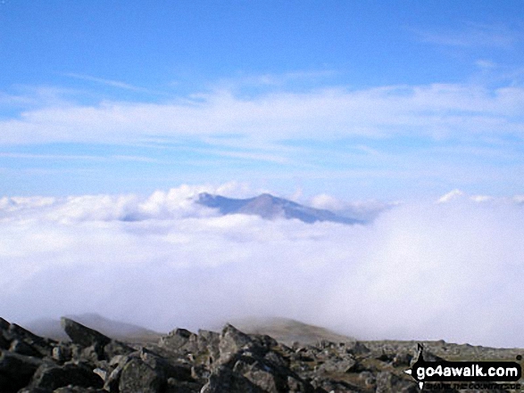
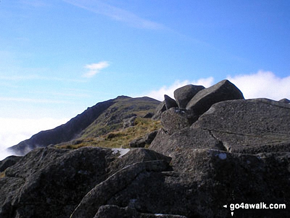
Temperature Inversion - Glyder Fach and Glyder Fach poking out of a sea of clouds from Carnedd Moel Siabod
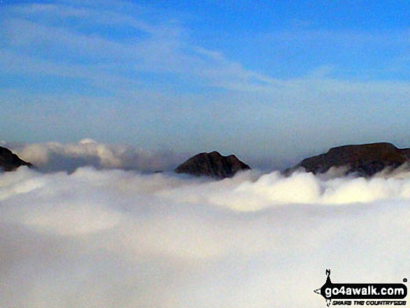
The Glyderau (Glyderau) (left), Tryfan and Carrnedd Dafydd (The Carneddau) poking through low cloud from the summit of Carnedd Moel Siabod
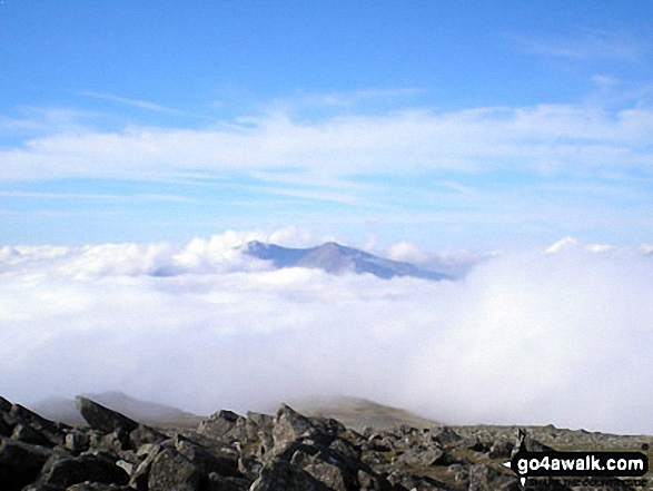
The Glyderau (Glyderau) poking up through the clouds from the summit of Carnedd Moel Siabod
Send us your photographs and pictures from your walks and hikes
We would love to see your photographs and pictures from walk cw108 Carnedd Moel Siabod from Plas y Brenin, Capel Curig. Send them in to us as email attachments (configured for any computer) along with your name and where the picture was taken to:
and we shall do our best to publish them.
(Guide Resolution = 300dpi. At least = 660 pixels (wide) x 440 pixels (high).)

You can also submit photos from walk cw108 Carnedd Moel Siabod from Plas y Brenin, Capel Curig via our Facebook Page.
NB. Please indicate where each photo was taken.