   |
Vital Statistics:
| Length: | 9mls (14.5km) |
| Ascent: | 3,965ft (1,208m) |
| Time: | 7½hrs |
| Grade: |  |

Route outline for walk c417:
Honister Pass - Honister Hause - Grey Knotts - Brandreth - Blackmoor Pols - Base Brown - Mitchell Cove - Green Gable - Windy Gap - Great Gable - Westmorland Cairn - Beck Head - Beckhead Tarn - Kirk Fell (East Top) - Kirk Fell - Moses' Trod - Wainwright's Coast to Coast Walk - Honister Pass
Peaks, Summits and Tops reached on this walk:
 6 English Mountains |
 6 Wainwrights |
 7 English Nuttalls |
 0 English Deweys |
 0 Wainwright Outlying Fells |
 2 Marilyns |
 0 Bridgets |
Peak Bagging Statistics for this walk:
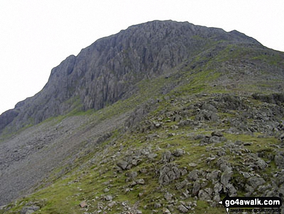
The highest point of this walk is Great Gable at 899m (2951ft). Great Gable is classified as an English Mountain (Hewitt) (9th highest in England, 25th highest in England & Wales) and a Wainwright (No. 7).
Great Gable is also known as an English Nuttall (11th highest in England, 28th highest in England & Wales) and an English Marilyn (4th highest in England, 238th highest in the UK).
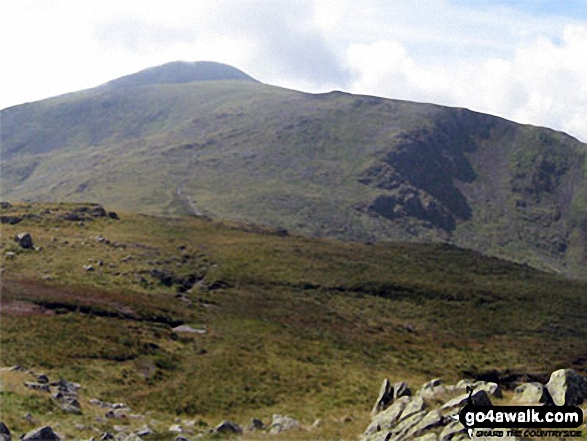
Completing this walk will also take you to the top of Kirk Fell at 802m (2631ft). Kirk Fell is classified as an English Mountain (Hewitt) (42nd highest in England, 77th highest in England & Wales) and a Wainwright (No. 33).
Kirk Fell is also known as an English Nuttall (49th highest in England, 92nd highest in England & Wales) and an English Marilyn (15th highest in England, 391st highest in the UK).
You will also reach the summit of Green Gable at 801m (2629ft). Green Gable is classified as an English Mountain (Hewitt) (43rd highest in England, 78th highest in England & Wales) and a Wainwright (No. 34).
Green Gable is also known as an English Nuttall (50th highest in England, 93rd highest in England & Wales).
Along the way you will also bag:
- Kirk Fell (East Top) at 787m (2583ft). Kirk Fell (East Top) is classified as an English Mountain (Hewitt) (50th England, 89th Eng & Wal) and an English Nuttall (59th highest in England, 108th highest in England & Wales).
- Brandreth at 715m (2346ft). Brandreth is classified as an English Mountain (Hewitt) (89th highest in England, 152nd highest in England & Wales), a Wainwright (No. 81) and an English Nuttall (112th highest in England, 191st highest in England & Wales).
- Grey Knotts at 697m (2287ft). Grey Knotts is classified as a Wainwright (No. 92) and an English Nuttall (138th highest in England, 227th highest in England & Wales)
- Base Brown at 646m (2120ft). Base Brown is classified as an English Mountain (Hewitt) (148th highest in England, 254th highest in England & Wales), a Wainwright (No. 117) and an English Nuttall (196th highest in England, 338th highest in England & Wales).
National Trails & Long Paths included on this walk:
Part of this walk follows a section of Wainwright's Coast to Coast Walk, a 306km (190 miles) linear footpath connecting St Bees in Cumbria, England with Robin Hood's Bay in North Yorkshire, England. Wainwright's Coast to Coast Walk is waymarked by the occasional sign. For more walks that include a section of this trail see Wainwright's Coast to Coast Walk.
You can find this walk and other nearby walks on these unique free-to-access Interactive Walk Planning Maps:
1:25,000 scale OS Explorer Map (orange/yellow covers):
1:50,000 scale OS Landranger Maps (pink/magenta covers):
Some Photos and Pictures from Walk c417 Base Brown, Great Gable and Kirk Fell from Honister Hause
In no particular order . . .


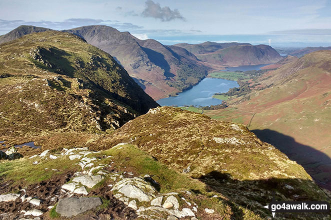
*Pillar (left), High Stile (centre), Ennerdale, Hay Stacks, Crummock Water, Buttermere and Grasmoor (right) from Green Gable
Kirk Fell with Red Pike (Wasdale), Little Scoat Fell and Pillar behind from Westmorland Cairn, Great Gable

Kirk Fell (foreground), Pillar, Ennerdale, Red Pike (Buttermere), High Stile, High Crag and Crummock Water (far right) from Westmorland Cairn, Great Gable


Wast Water, Wasdale and Yewbarrow with Middle Fell (left) Seatallan (background centre), Red Pike (Wasdale) (right) and the shoulder of Kirk Fell (centre foreground) from Westmorland Cairn on Great Gable

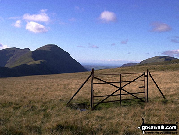
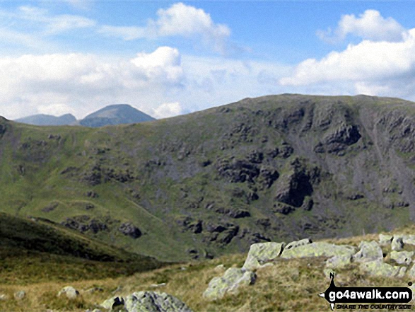
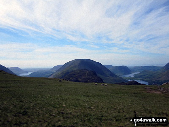
Robinson towering above Honister Pass from the lower slopes of Grey Knotts


Illgill Head (left) Wasdale, Wast Water and Yewbarrow from Westmorland Cairn, Great Gable

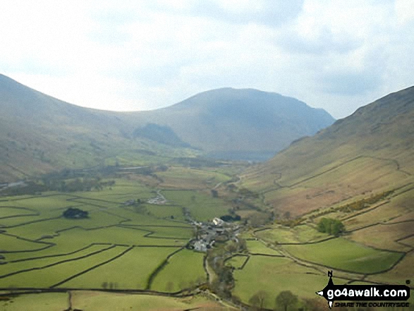
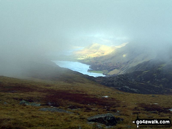
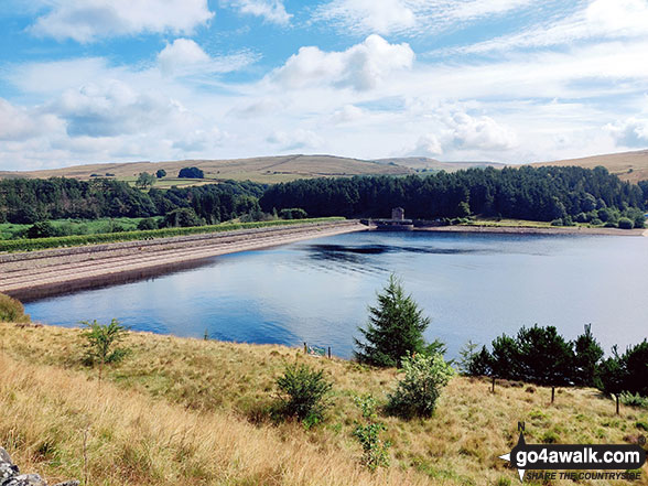
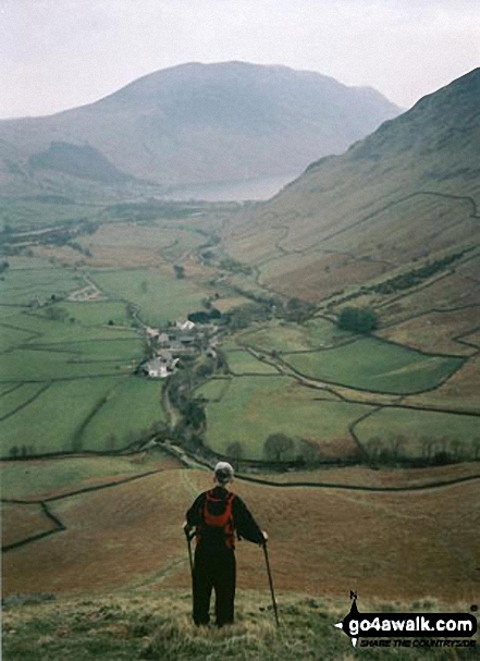
Looking down towards Buttermere from Honister Hause with Bell Crags (left) and Robinson (centre right), Hindscarth (right) & the shoulder of Dale Head (Newlands) far right)

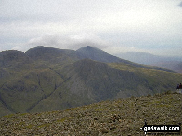
Kirk Fell with Pillar and Little Scoat Fell beyond from Great Gable summit

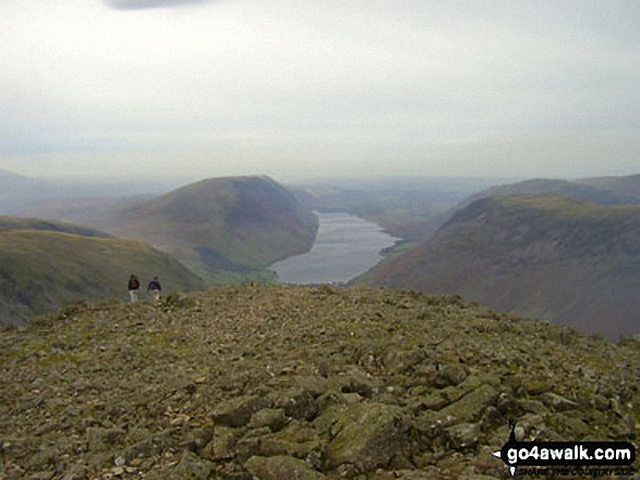
Looking back to Ennerdale (left), Hay Stacks (Haystacks) and Crummock Water (right) from Moses' Trod near the top of Loft Beck

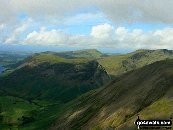
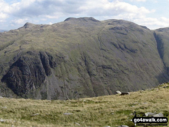
Little Scoat Fell and Pillar (distance) with Brandreth (foreground) from Base Brown


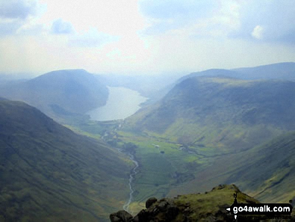
Wasdale featuring Lingmell (left), Illgill Head and Whin Rigg (left of centre in the distance), Wast Water (centre) and Yewbarrow (right) from Westmorland Cairn near the summit of Great Gable
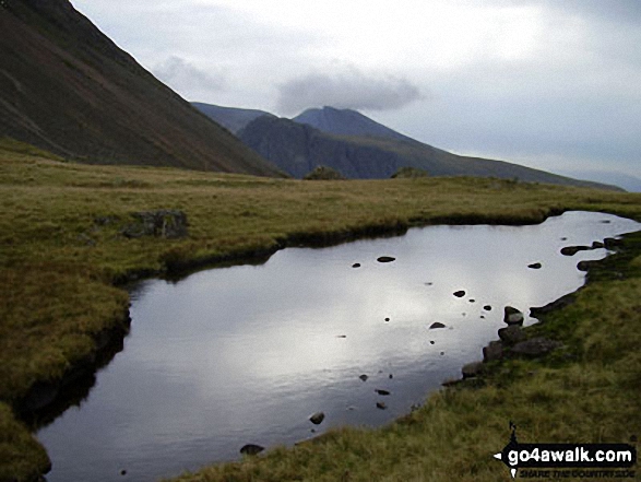
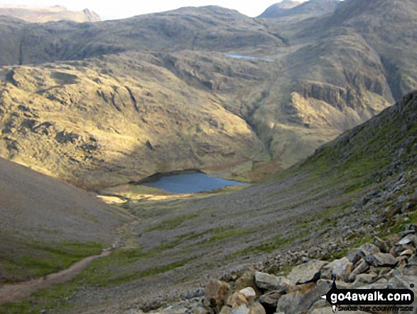
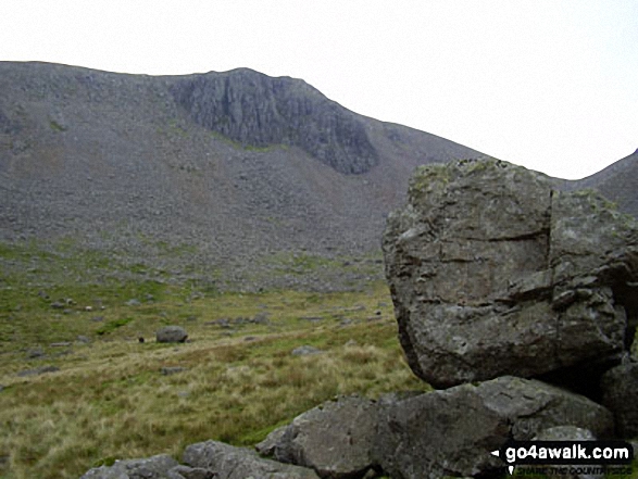
Beck Head and Beckhead Tarn with Kirk Fell beyond from below Westmorland Cairn, Great Gable


Ennerdale with Hay Stacks (Haystacks) and the High Stile ridge (right) and Looking Stead and Pillar (left) from Brandreth


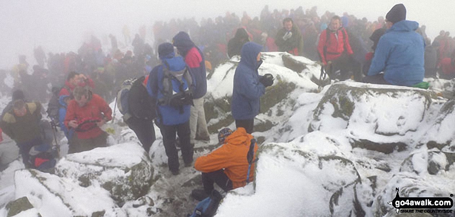
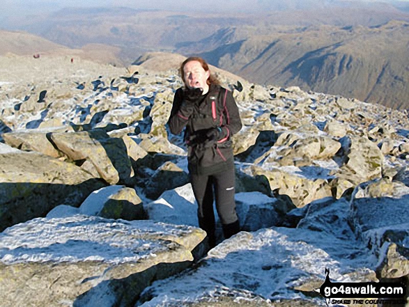
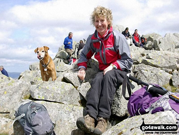
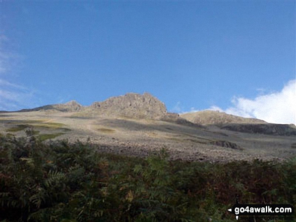
Northern Souls Walking Club at the Remembrance Day service on top of Great Gable
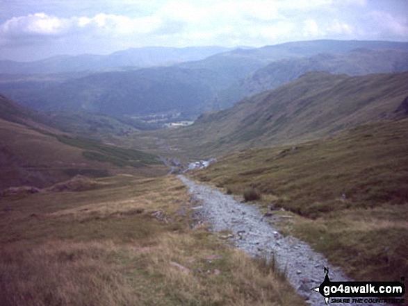
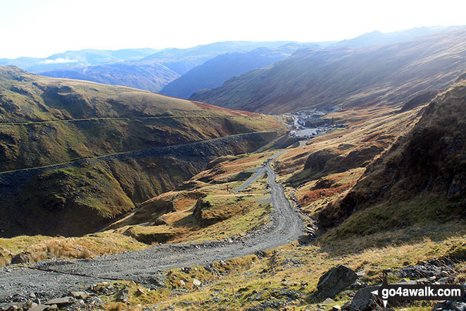
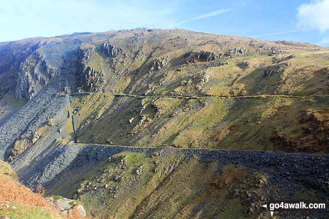
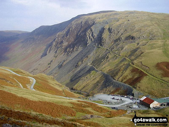
Dismantled Tramway that forms part of The Coast to Coast walk leading to Honister Hause from below the Drum House on Moses' Trod


Hay Stacks (Haystacks) and Three Lakes (Ennerdale (left), Buttermere (right bottom) & Crummock Water (right top) from Moses' Trod
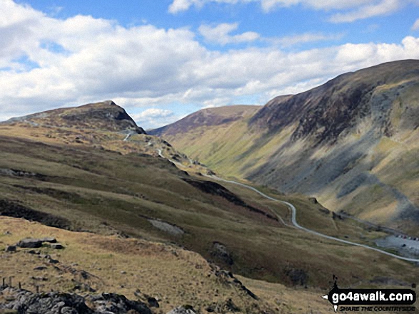
Looking NW from Grey Knotts above Honister Slate Mine to Fleetwith Pike (left) and Robinson, Littledale Edge, Hindscarth and Dale Head (Newlands) on the other side of the valley

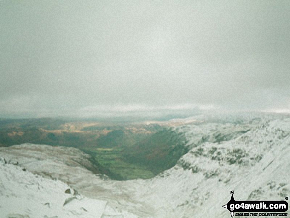
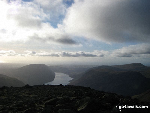
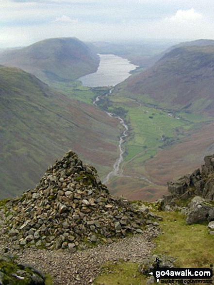
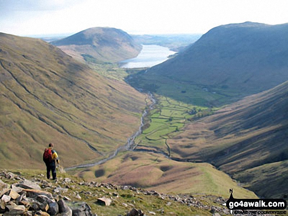
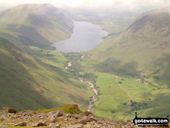
Wasdale Head and Wast Water from Gavel Neese on the lower slopes of Great Gable


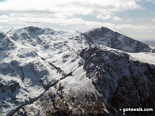
Snow on Scafell Pike (left), Sca Fell (right top) and Lingmell (right centre) from Westmorland Cairn on Great Gable

Westmorland Cairn, Great Gable panorama featuring Kirk Fell (foreground centre), Wast Water, Wasdale and Yewbarrow with Middle Fell and Seatallan beyond (left), Red Pike (Wasdale), Little Scoat Fell and Pillar behind Kirk Fell (centre) and Ennerdale with Red Pike (Buttermere), High Stile, High Crag and Crummock Water (right)
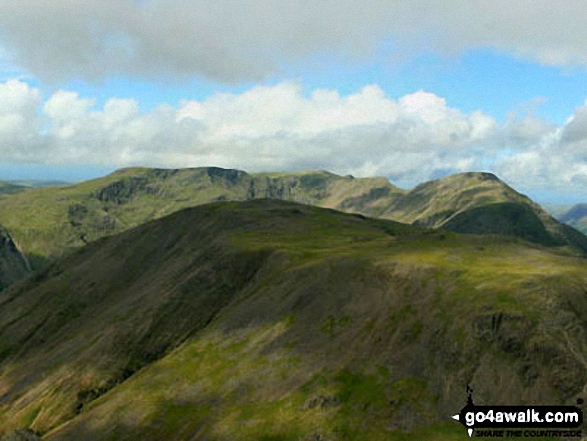
Green Gable (left) and Great Gable (centre left) from the summit of Brandreth
Illgill Head and Whin Rigg (left) Wast Water and Yewbarrow and Middle Fell (right) from Westmorland Cairn, Great Gable
Wast Water with Illgill Head (left) and Yewbarrow (right) from Great Gable summit

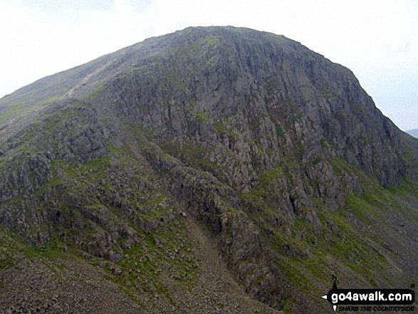
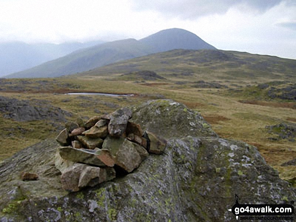
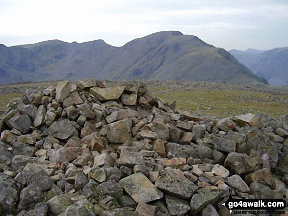
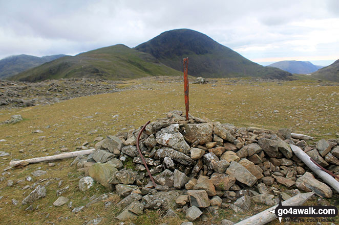
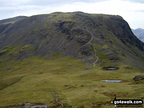
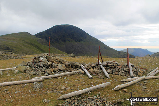
Brandreth summit cairn with Gillercomb Head leading up to Green Gable with Great Gable looking majestic in the background

The High Stile ridge (left), Buttermere and the Grasmoor massif (right) from Brandreth

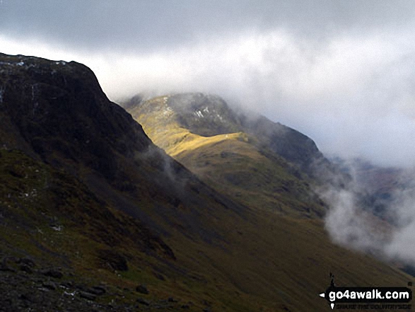

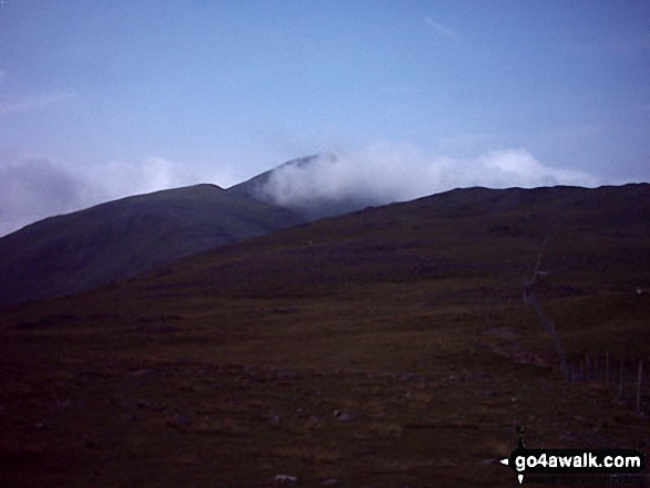
Harrison Stickle and Pike of Stickle (Pike o' Stickle) framed by cloud whilst ascending Green Gable


Send us your photographs and pictures from your walks and hikes
We would love to see your photographs and pictures from walk c417 Base Brown, Great Gable and Kirk Fell from Honister Hause. Send them in to us as email attachments (configured for any computer) along with your name and where the picture was taken to:
and we shall do our best to publish them.
(Guide Resolution = 300dpi. At least = 660 pixels (wide) x 440 pixels (high).)

You can also submit photos from walk c417 Base Brown, Great Gable and Kirk Fell from Honister Hause via our Facebook Page.
NB. Please indicate where each photo was taken.


