|
Vital Statistics:
| Length: | 5¼mls (8.5km) |
| Ascent: | 2,255ft (687m) |
| Time: | 4½hrs |
| Grade: |  |
Route outline for walk c383:
Scales - Mousthwaite Comb - Scales Fell - Brunt Knott - Scales Beck - Scales Tarn - Sharp Edge - Atkinson Pike - Blencathra or Saddleback (Hallsfell Top) - Scales Fell - Mousthwaite Comb - Scales
Peaks, Summits and Tops reached on this walk:
 1 English Mountain |
 1 Wainwright |
 2 English Nuttalls |
 0 English Deweys |
 0 Wainwright Outlying Fells |
 1 Marilyn |
 0 Bridgets |
Peak Bagging Statistics for this walk:
The highest point of this walk is Blencathra or Saddleback (Hallsfell Top) at 868m (2849ft). Blencathra or Saddleback (Hallsfell Top) is classified as an English Mountain (Hewitt) (16th highest in England, 38th highest in England & Wales) and a Wainwright (No. 14).
Blencathra or Saddleback (Hallsfell Top) is also known as an English Nuttall (19th highest in England, 44th highest in England & Wales) and an English Marilyn (8th highest in England, 285th highest in the UK).
The summit of Blencathra or Saddleback (Hallsfell Top) is marked by an Ordnance Survey Trig Point.
Completing this walk will also take you to the top of Atkinson Pike at 845m (2773ft). Atkinson Pike is also known as an English Nuttall (30th highest in England, 58th highest in England & Wales).
You can find this walk and other nearby walks on these unique free-to-access Interactive Walk Planning Maps:
1:25,000 scale OS Explorer Map (orange/yellow covers):
1:50,000 scale OS Landranger Map (pink/magenta covers):
Some Photos and Pictures from Walk c383 Blencathra via Sharp Edge from Scales
In no particular order . . .
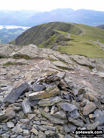
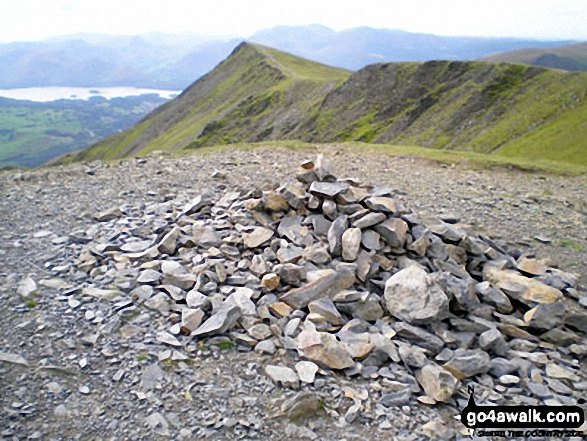
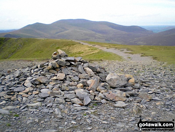
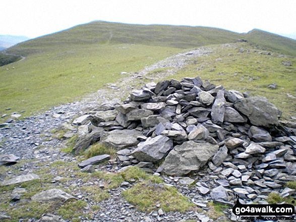
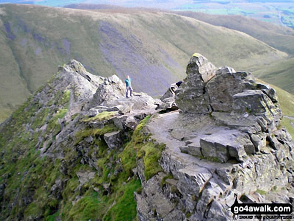
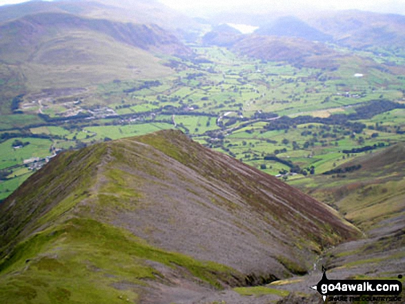
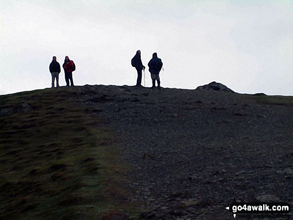
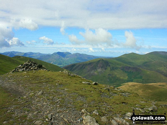
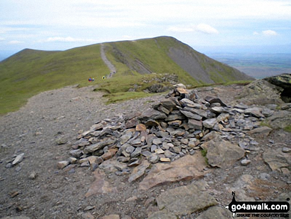
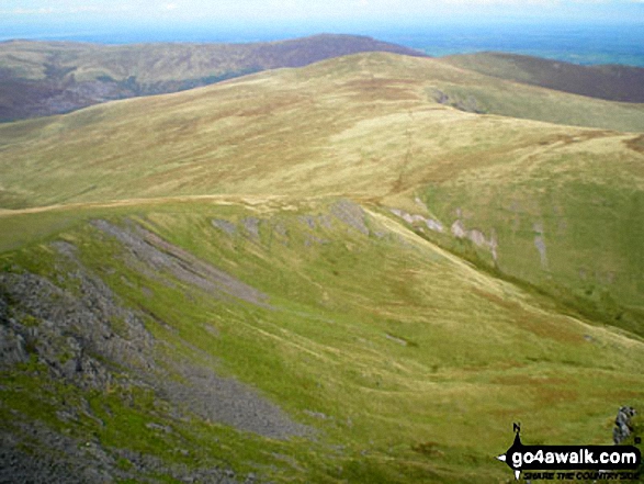
Hallsfell Top summit cairn with Gategill Fell Top and Knowe Crags in the background Blencathra or Saddleback
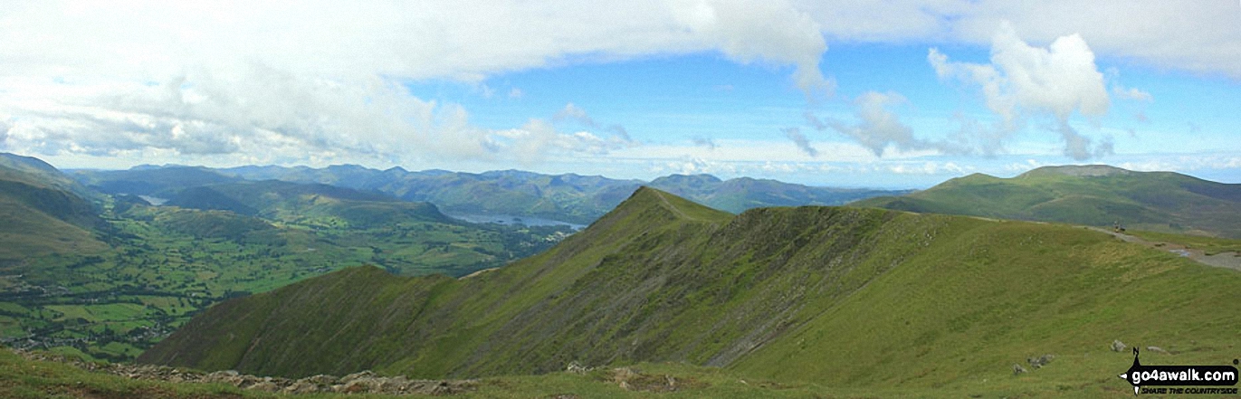
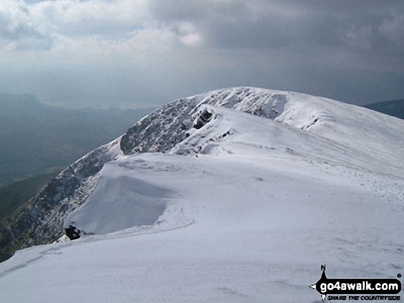
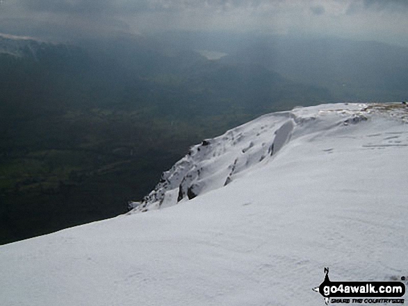
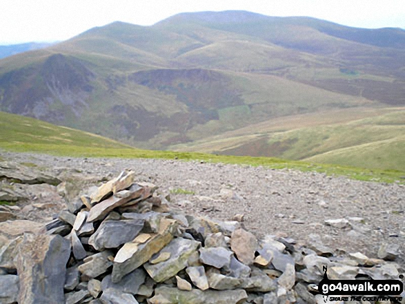
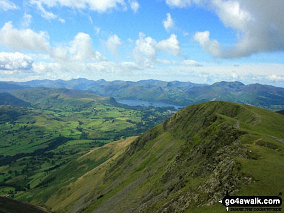
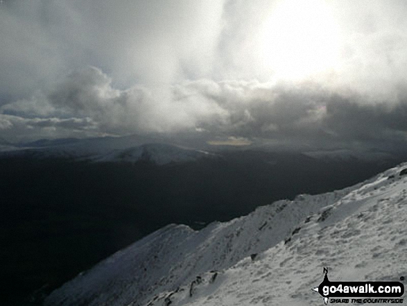
*Skiddaw from Blencathra or Saddleback (Hallsfell Top) with the Solway Firth in the distance
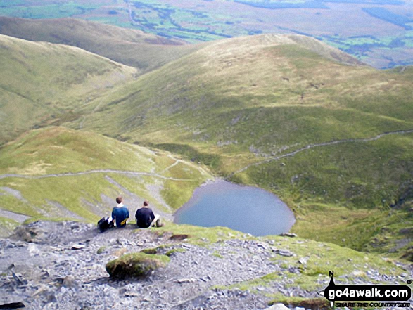
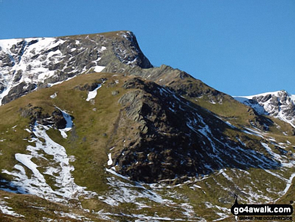
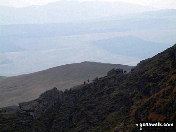
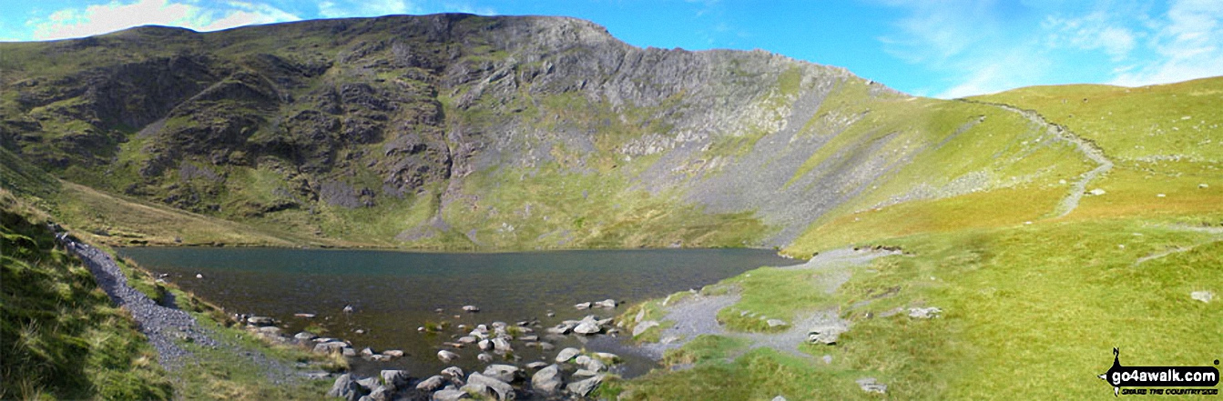
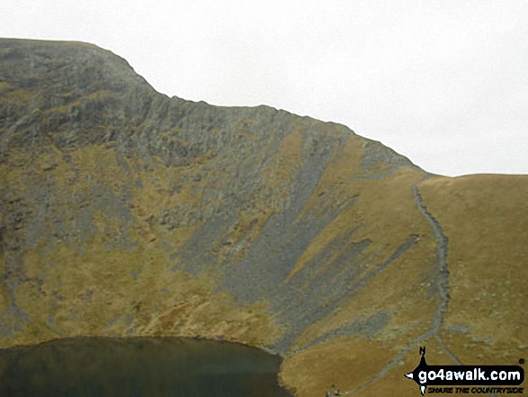
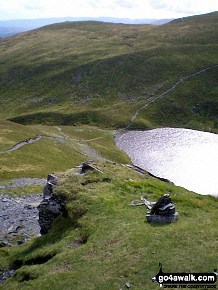
Scales Tarn from Atkinson Pike at the top of Sharp Edge, Blencathra (or Saddleback)
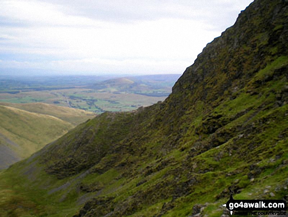
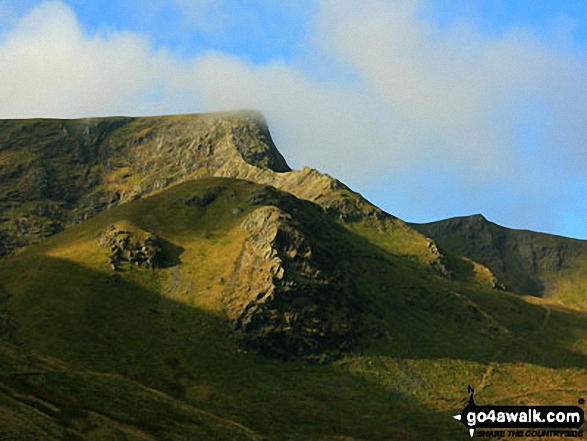
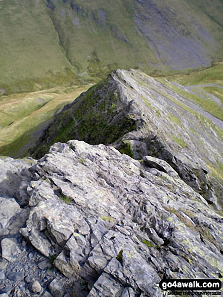
Gategill Fell Top with Knowe Crags beyond from Hallsfell Top, Blencathra or Saddleback
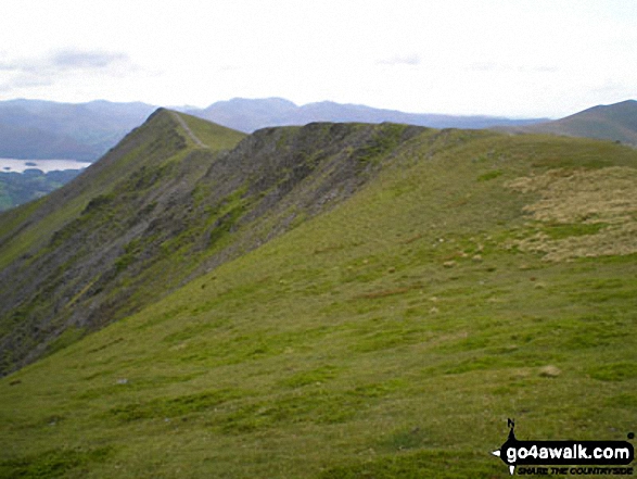
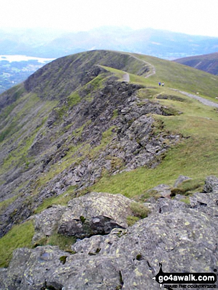
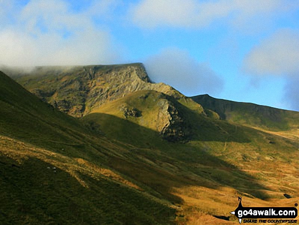
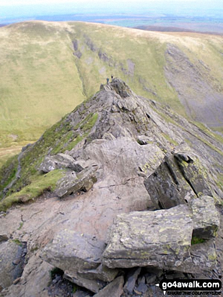
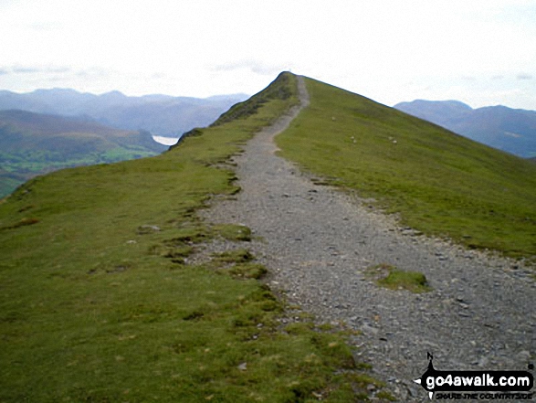
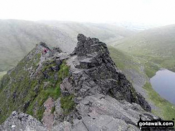
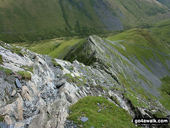
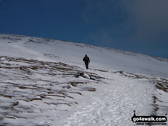
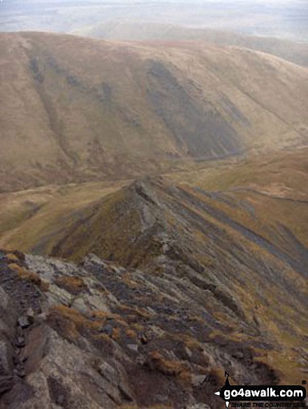
Hallsfell Top Ridge rising to Hallsfell Top (the summit of Blencathra or Saddleback) from Atkinson Pike at the top of Sharp Edge

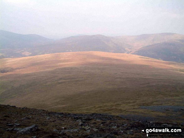
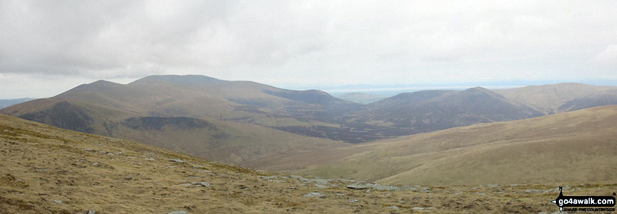
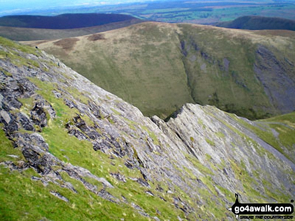
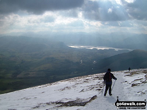
Gategill Fell, Threlkeld and The Glendermackin Valley from Blencathra or Saddleback
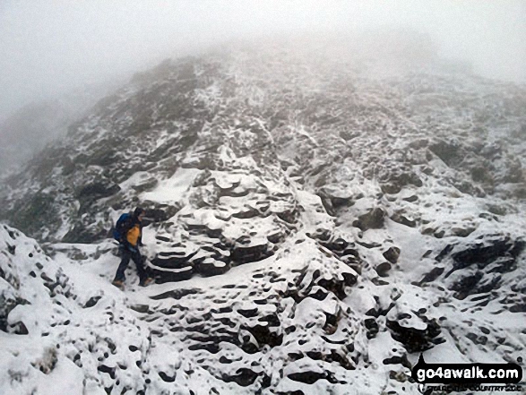
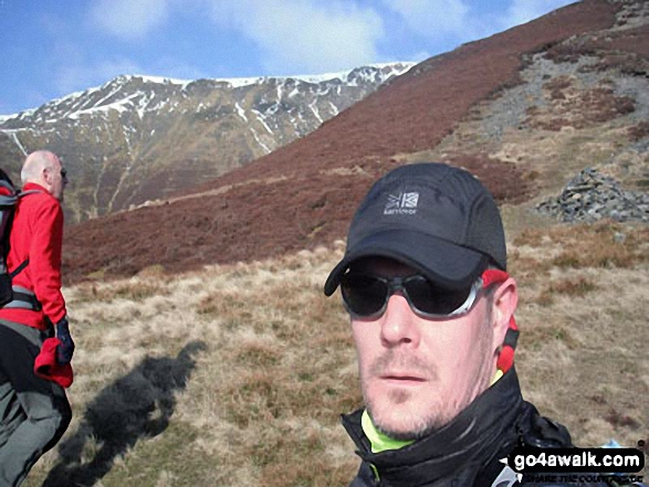
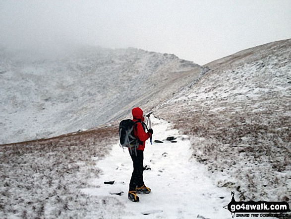
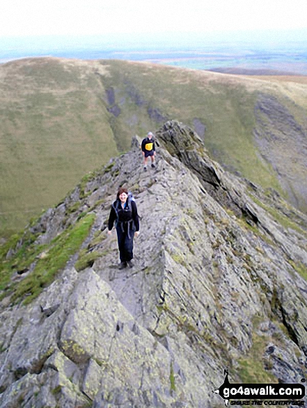
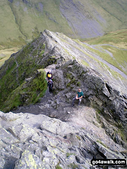
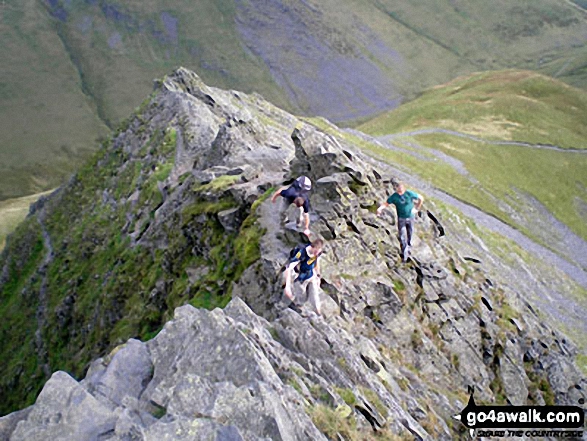
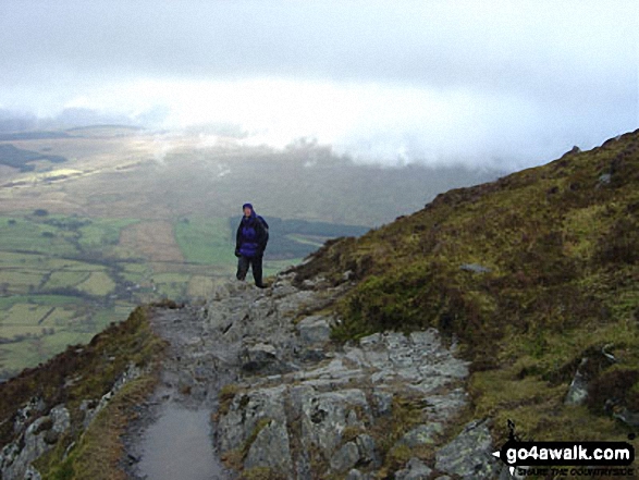
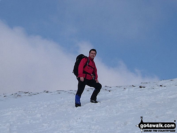
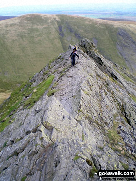
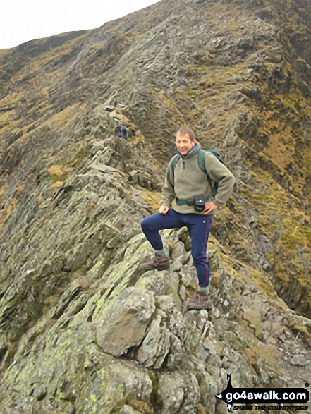
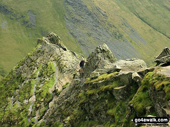
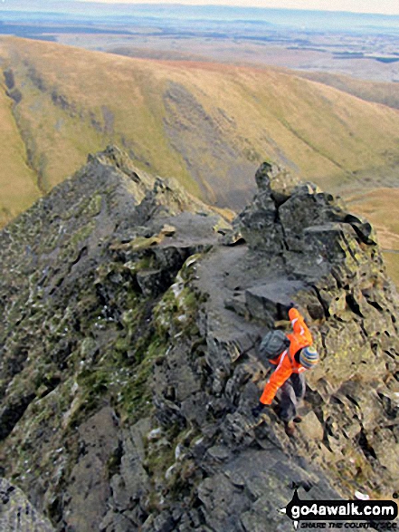
My mate Rich just strolling past the 'Bad Step' on Sharp Edge without really noticing it!
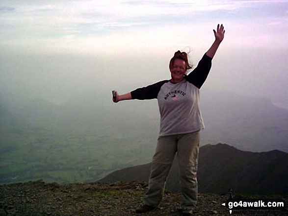
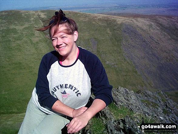
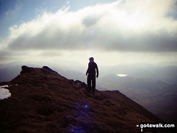
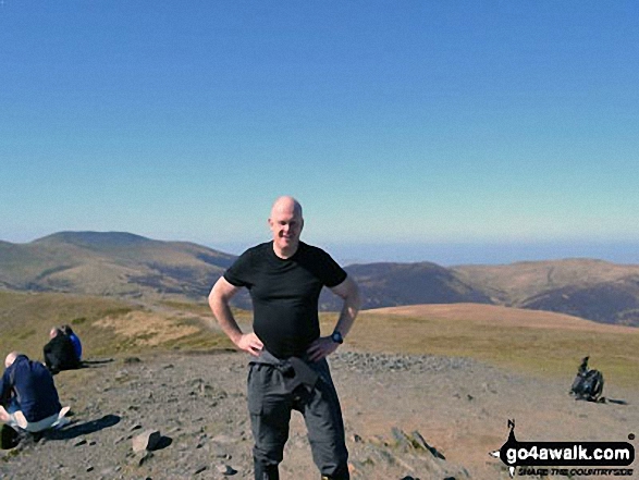
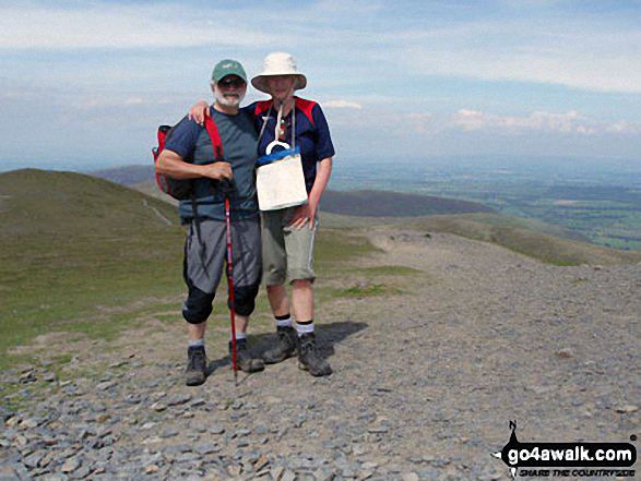
Celebrating at the top of Blencathra (or Saddleback) having successfully negotiated Sharp Edge
Atkinson Pike and the top of Sharp Edge from Hallsfell Top summit cairn, Blencathra or Saddleback
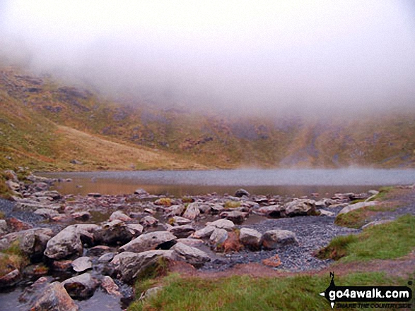
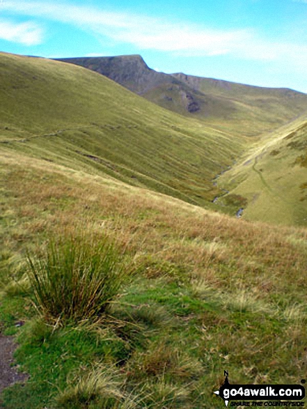
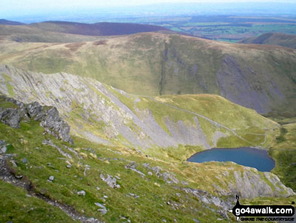
Sharp Edge and Scales Tarn from Atkinson Pike, Blencathra (or Saddleback)
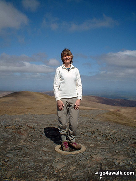
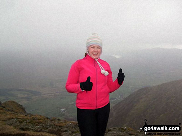
Standing on the Ordnance Survey Concrete Ring on the summit of Blencathra or Saddleback (Hallsfell Top)
Send us your photographs and pictures from your walks and hikes
We would love to see your photographs and pictures from walk c383 Blencathra via Sharp Edge from Scales. Send them in to us as email attachments (configured for any computer) along with your name and where the picture was taken to:
and we shall do our best to publish them.
(Guide Resolution = 300dpi. At least = 660 pixels (wide) x 440 pixels (high).)

You can also submit photos from walk c383 Blencathra via Sharp Edge from Scales via our Facebook Page.
NB. Please indicate where each photo was taken.