   |
Vital Statistics:
| Length: | 7mls (11km) |
| Ascent: | 1,976ft (602m) |
| Time: | 4½hrs |
| Grade: |  |
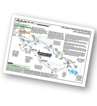
Route outline for walk c238:
Elterwater - Elterwater Bridge - Dale End - Lingmoor Fell - Fat Man's Agony (or Fat Man's Struggle) - Side Pike - Great Langdale - Side House Farm - The Cumbria Way - Oak Howe - Chapel Stile - Elterwater Bridge - Elterwater
Peaks, Summits and Tops reached on this walk:
 0 English Mountains |
 1 Wainwright |
 0 English Nuttalls |
 0 English Deweys |
 0 Wainwright Outlying Fells |
 1 Marilyn |
 0 Bridgets |
Peak Bagging Statistics for this walk:
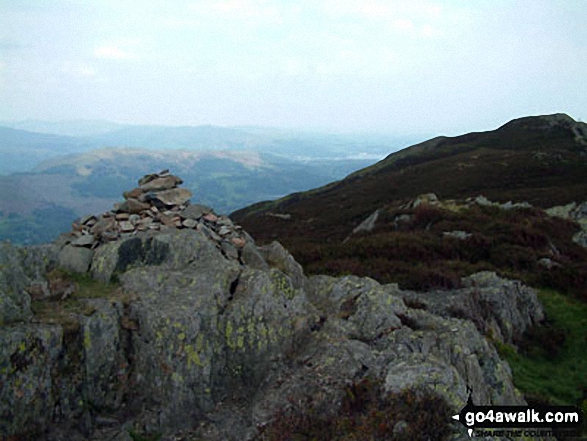
The highest point of this walk is Lingmoor Fell at 469m (1539ft). Lingmoor Fell is classified as an Wainwright (No. 184).
Lingmoor Fell is also known as English Marilyn (83rd highest in England, 1052nd highest in the UK).
National Trails & Long Paths included on this walk:
Part of this walk follows a section of The Cumbria Way, a 112km (70 miles) linear footpath connecting Ulverston in Cumbria, England with Carlisle in Cumbria, England. The Cumbria Way is waymarked by named posts. For more walks that include a section of this trail see The Cumbria Way.
You can find more walks near this one on these unique free-to-access Interactive Walk Planning Maps: (click/TAP to select)
1:25,000 scale OS Explorer Maps (the ones with orange/yellow covers):
1:50,000 scale OS Landranger Map (the ones with pink/magenta covers):
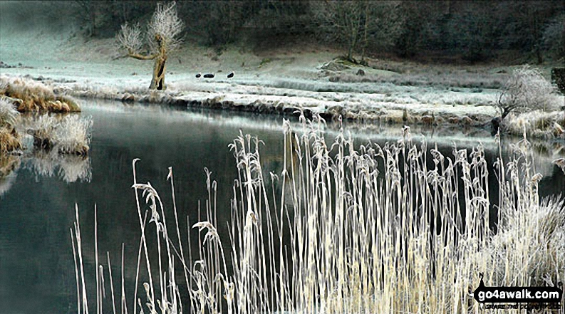
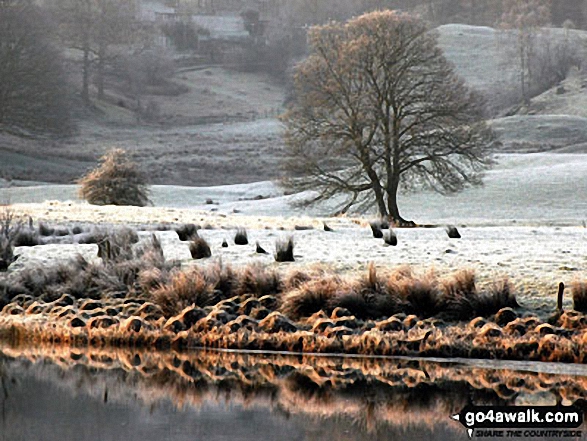
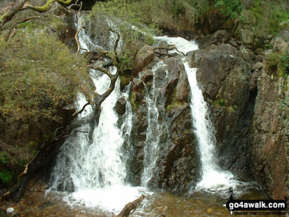
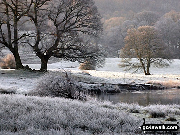
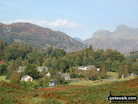
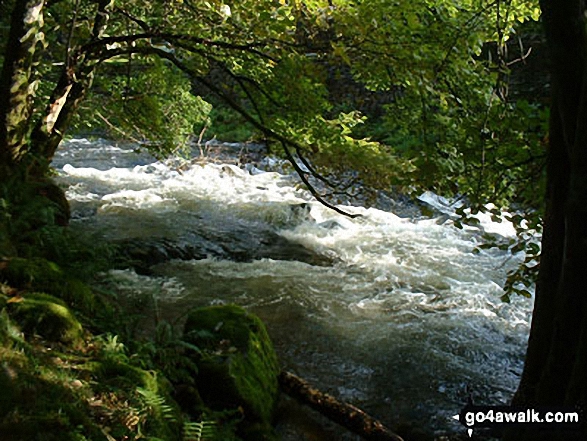
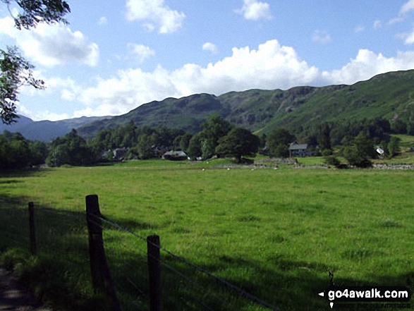
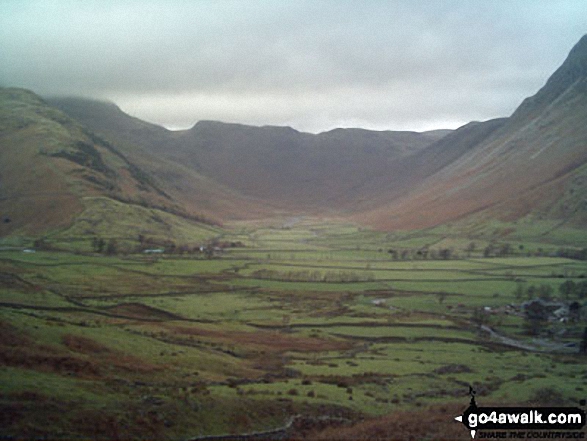
Some Photos and Pictures from Walk c238 Lingmoor Fell and Great Langdale from Elterwater
In no particular order . . .
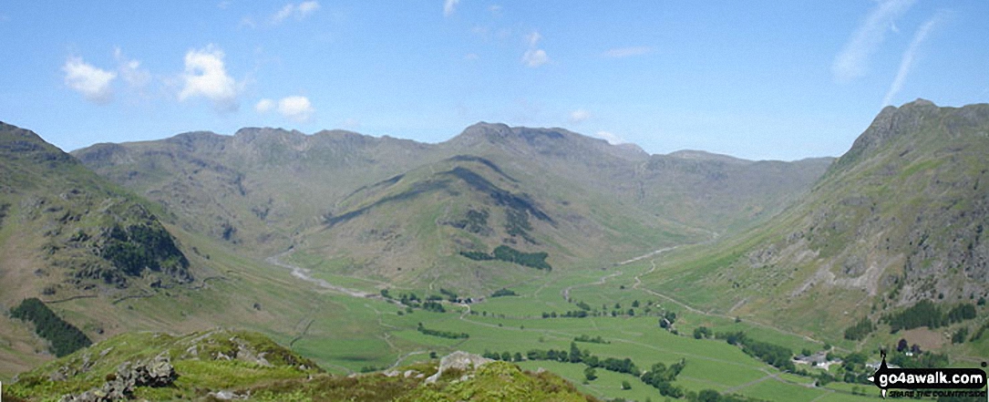
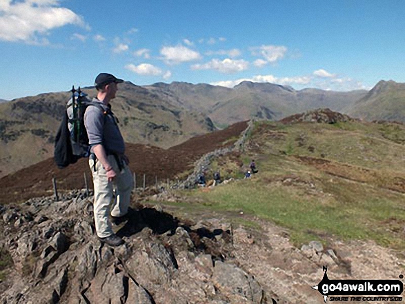
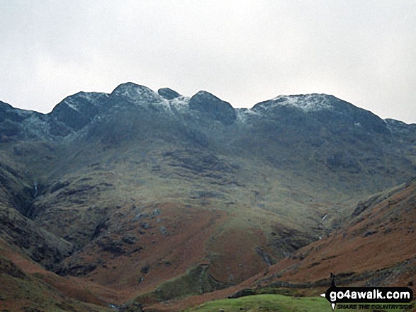
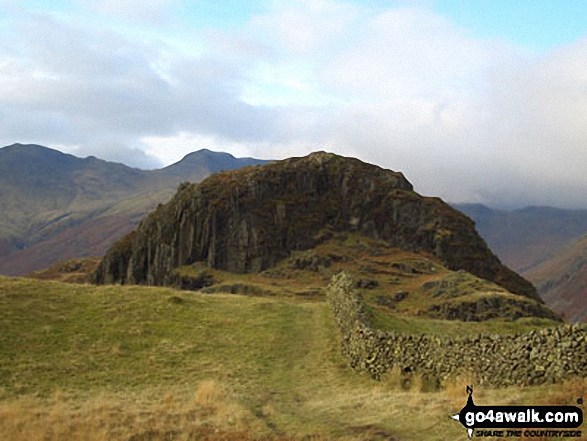
*Kettle Crag (left), Oxendale, The Band (centre - with Crinkle Crags (Crinkle Crags (South Top), Crinkle Crags (Long Top), & Gunson Knott) (top left) and Bow Fell (Bowfell) (top right), Mickleden and The Langdale Pikes from Side Pike
The Band (left), Bow Fell (Bowfell), Esk Pike (centre) and Pike of Stickle (far right) surround Mickleden from Great Langdale
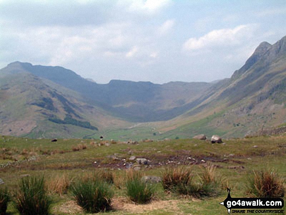
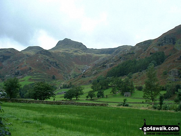
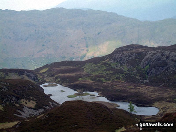
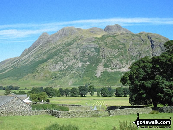
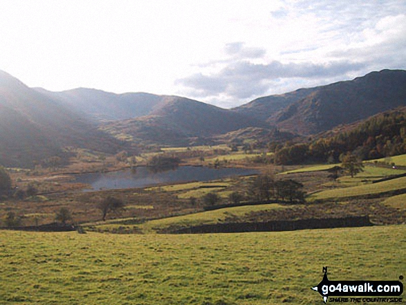
The shoulder of Pike of Blisco (Pike o' Blisco) (far left) , Oxendale, The Band and Mickledeon with The Langdale Pikes (right) from Lingmoor Fell
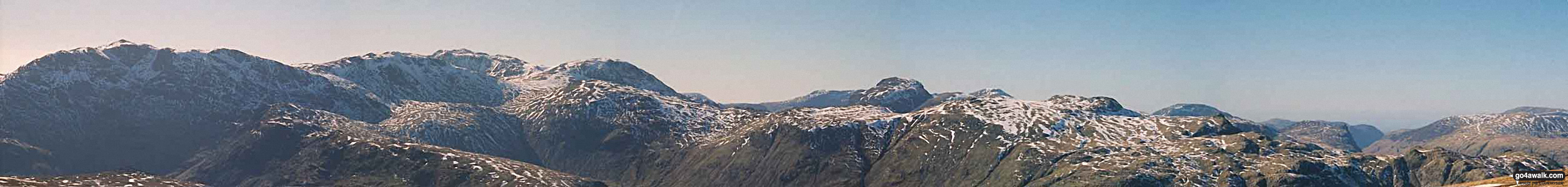
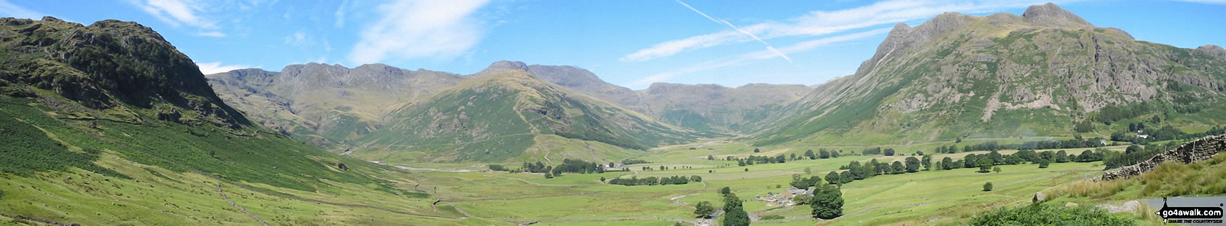
Crinkle Crags (Long Top), Gunson Knott & Crinkle Crags (South Top) and Bow Fell (Bowfell) from Great Langdale
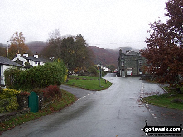
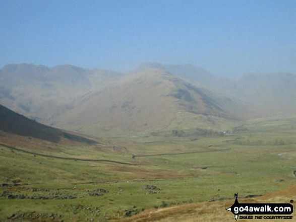
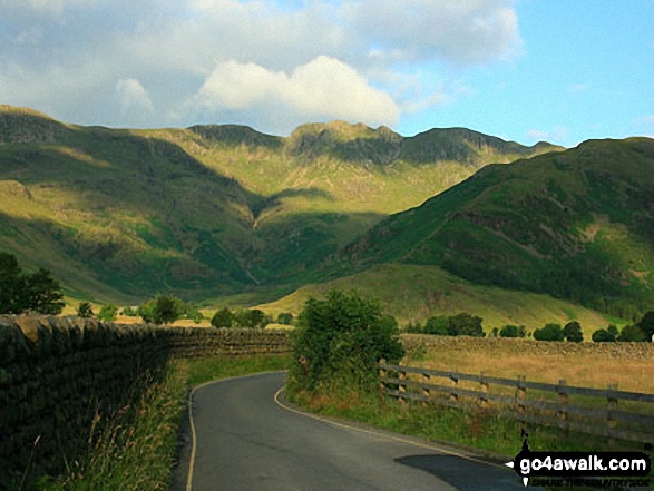
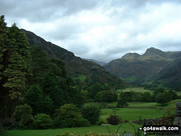
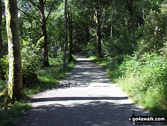
Approaching the (somewhat moody) Langdale Pikes along the Cumbria Wayin Great Langdale below Oakhowe Crag.
Crinkle Crags (Long Top), Crinkle Crags (Gunson Knott), Shelter Crags and Shelter Crags (North Top) from Great Langdale
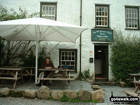
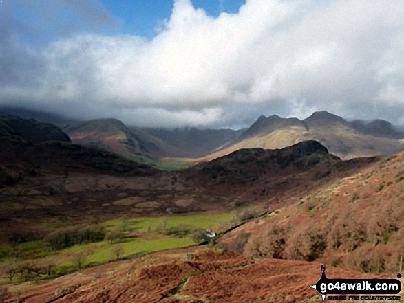
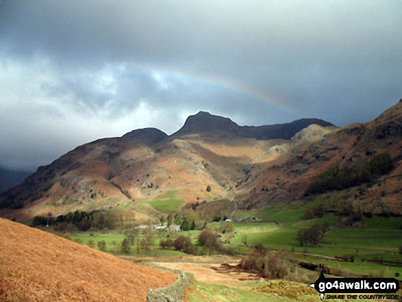
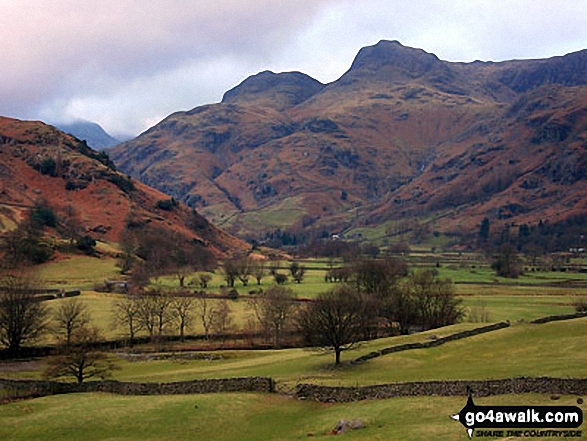
Crinkle Crags (Crinkle, Crags (South Top), Crinkle Crags (Long Top), Crinkle Crags (Gunson Knott), Shelter Crags & Shelter Crags (North Top)) and the Eastern shoulder of The Band from The Old Dungeon Ghyll, Great Langdale
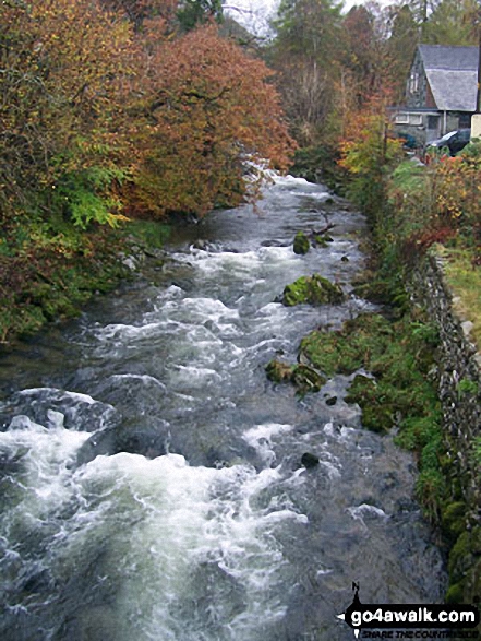
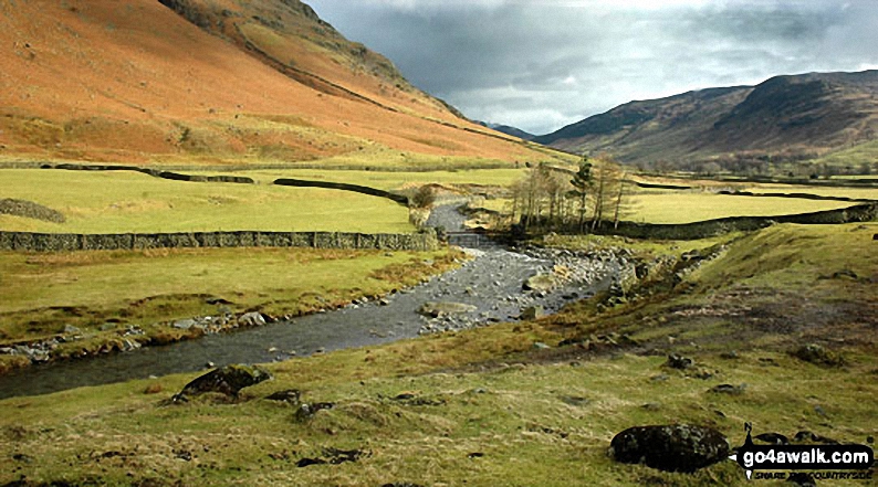
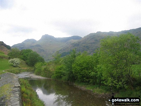
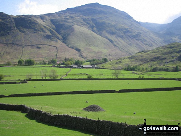
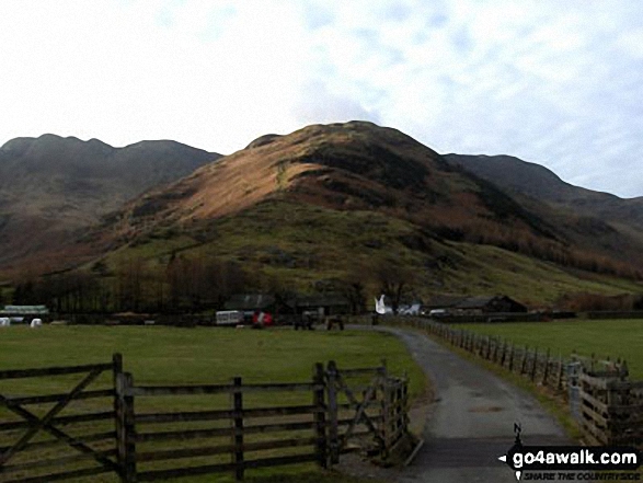
Mickelden Beck flowing through Great Langdale with the lowers slopes of the Landale pikes (left) and Side Pike (right)
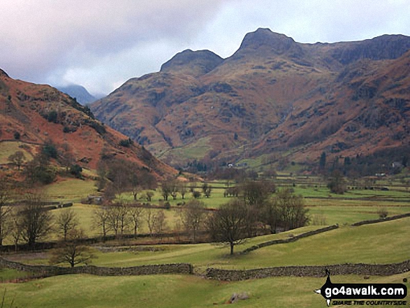
*Crinkle Crags featuring Crinkle Crags (Long Top), Gunson Knott & Crinkle Crags (South Top) (left), Bow Fell (Bowfell) (centre) and The Langdale Pikes (right) from Great Langdale
The Band (centre) with Crinkle Crags (left) and Bow Fell (Bowfell) (right) beyond from Great Langdale
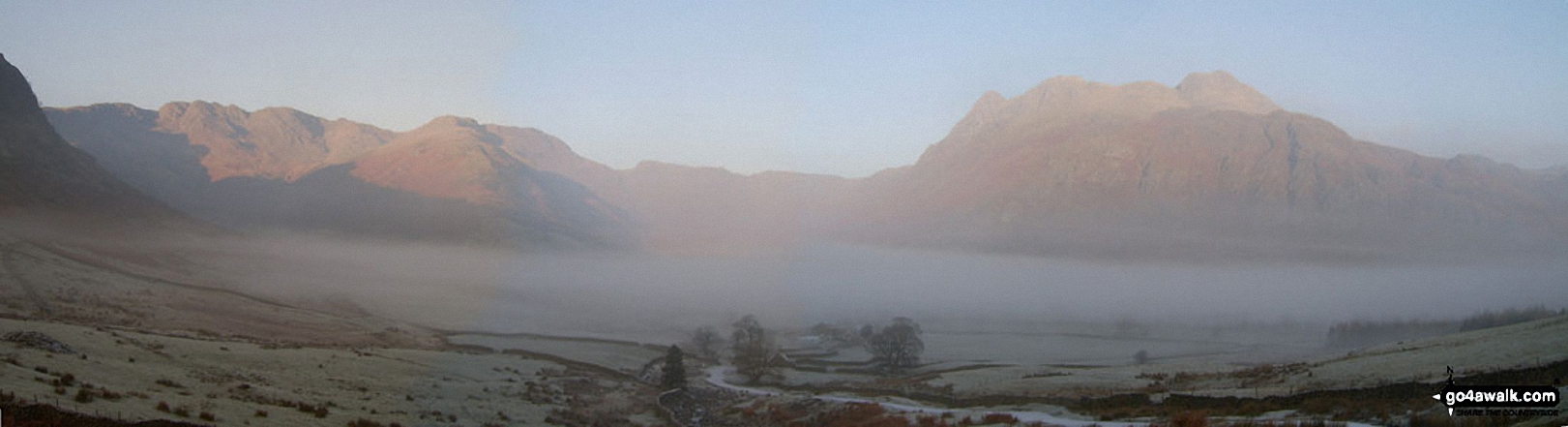
*Cinkle Crags, Bow Fell (Bowfell) and the Langdale Pikes from Great Langdale in the early morning
Send us your photographs and pictures from your walks and hikes
We would love to see your photographs and pictures from walk c238 Lingmoor Fell and Great Langdale from Elterwater. Send them in to us as email attachments (configured for any computer) along with your name and where the picture was taken to:
and we shall do our best to publish them.
(Guide Resolution = 300dpi. At least = 660 pixels (wide) x 440 pixels (high).)

You can also submit photos from walk c238 Lingmoor Fell and Great Langdale from Elterwater via our Facebook Page.
NB. Please indicate where each photo was taken.

To contribute to go4awalk.com or to contact us about anything at all - see Talk To Us. For help see Help.
go4awalk.com and go4awalk.co.uk are registered trademarks of TMDH Limited.
Copyright © 2000-2025 TMDH Limited. All rights reserved.
Copyright Terms & Conditions Privacy Statement
A - Z Walks Home Log On/Accounts Photo Gallery Walk Ideas and Collections Fell Facts Hill Skills Walking Questions and Answers Your Stories News Competitions Product Reviews/Gear Tests Walking Gear Guides Peaks and Mountains Peak Bagging Find New Walking Friends Camping GPS Waypoints for Walking Contents Walk Search Talk To Us go4awalk.com Help Free Example Walks Newsletter


