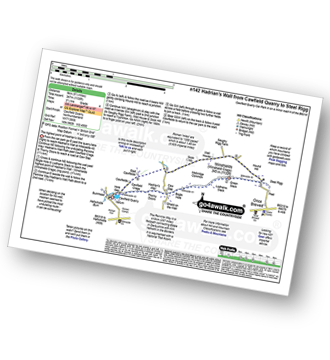
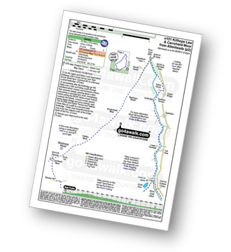
6 easy to follow walk route maps of all grades on OS Explorer Map OL43 Hadrian’s Wall
Six easy-to-follow hand-crafted printable walk route maps that are wholly on or partly on OS Explorer Map OL43 Hadrian’s Wall to suit all levels of fitness and ability.
Tap/mouse over a coloured circle (1-3 easy walks, 4-6 moderate walks, 7-9 hard walks) and click to select.
You can use these checkboxes to show only the grades of walk you are interested in:-
Six easy-to-follow walk route maps of all grades on OS Explorer Map OL43 Hadrian’s Wall in Walk Grade Order
Scroll down the list of walks below & click on each walk title (in blue) to locate it on the map above.
See this list of walks, routes & maps in:
Grade Order |
Length Order |
Time Order |
Walk Number or Start Location Order
NB. To reverse (toggle) this order, click Grade Order again
Route Summary:
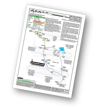
Clesketts - Tortie Farm - Howgill Cottages - Tindale Fells - Howgill Beck - Cold Fell Pike (Geltsdale) - Tindale Fell - Tindale Tarn - Thron Farm - Clesketts
Route Summary:
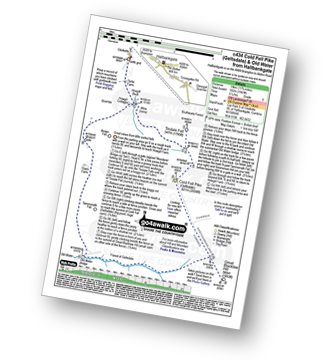
Clesketts - Tortie Farm - Howgill Cottages - Tindale Fells - Howgill Beck - Tindale Fell - Cold Fell Pike (Geltsdale) - Great Blacklaw Hill - Old Water - Old Water Bridge - Gairs Farm - Howgill Cottages - Clesketts
Route Summary:
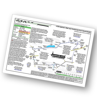
Housteads Visitor Centre - Chapel Hill - Housesteads - Vercovicium Fort - The Hadrian's Wall Path - Housesteads Crags - Cuddy's Crag - The Pennine Way - Hotbank Crags - Hotbank - Crag Lough - Highshield Crags - Steel Rigg - Peel Crags - Peel - Once Brewed - Brackies Burn - Smith's Shield - Causeway House - Vindolanda Roman Fort - Chesterholm - Barcombe - East Crindledykes Farm - Green Brae - Little Shield - Deafley Rigg - Housteads Visitor Centre
Route Summary:
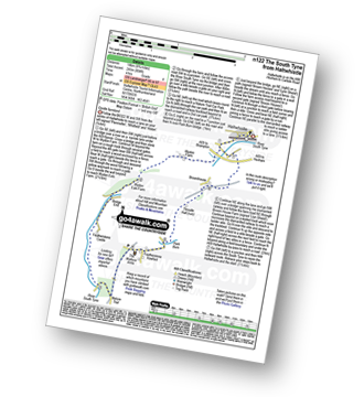
Haltwhistle - Wydon Farm - Wydon Eals Farm - River South Tyne - Featherstone Castle - Lambley Viaduct Nature Trail - Thorneyhole Wood - Featherstone Rowfoot - Park Village - Broomhouse Farm - Haltwhistle
Route Summary:
Cawfield Quarry Car Park - Hadrian's Wall - The Pennine Way - The Hadrian's Wall Path - Cawfield Crags - Thorny Doors - Caw Gap - Bogle Hole - Lodhams Slack - Winshields (Winshield Crags) - Green Slack - Steel Rigg - Hound Hill - Melkridge Common - East Cawfields - Cawfields - Cawfield Quarry Car Park
Route Summary:
Allenheads - Dirt Pots - The Weardale Way - Killhope Law - Shivery Hill - Carshield Moor - Scum Hill - Hartley Moor - Nan Davison's Cleugh - Philipson's Fold - Knockshield Moor - Black Way (Track) - Swinhope Shield - High Knock Shield - Knock Shield - Knockburn Farm - River East Allen - Low Sipton Shield - Sipton Terrace - Teedham Green - Corn Mill - Low Huntwell - Dirt Pots - Allenheads
See this list of walks, routes & maps in:
Grade Order |
Length Order |
Time Order |
Walk Number or Start Location Order
NB. To reverse (toggle) this order, click Grade Order again
To contribute to go4awalk.com or to contact us about anything at all - see Talk To Us. For help see Help.
go4awalk.com and go4awalk.co.uk are registered trademarks of TMDH Limited.
Copyright © 2000-2024 TMDH Limited. All rights reserved.
Copyright | Terms & Conditions | Privacy Statement
A - Z
Walks
Home
Log On/Accounts
Photo Gallery
Walk Ideas and Collections
Fell Facts
Places to Stay
Hill Skills
Walking Questions and Answers
Your Stories
News
Competitions
Product Reviews/Gear Tests
Walking Gear Guides
Peaks and Mountains
Peak Bagging
Find New Walking Friends
Camping
GPS Waypoints for Walking
Contents
Walk Search
Talk to us
go4awalk.com Help
Free example walks
Newsletter

