25 easy to follow walk route maps of all grades on OS Explorer Map OL41 Forest of Bowland & Ribblesdale
Twenty-five easy-to-follow hand-crafted printable walk route maps that are wholly on or partly on OS Explorer Map OL41 Forest of Bowland & Ribblesdale to suit all levels of fitness and ability.
Tap/mouse over a coloured circle (1-3 easy walks, 4-6 moderate walks, 7-9 hard walks) and click to select.
You can use these checkboxes to show only the grades of walk you are interested in:-
Twenty-five easy-to-follow walk route maps of all grades on OS Explorer Map OL41 Forest of Bowland & Ribblesdale in Walk Grade Order
Scroll down the list of walks below & click on each walk title (in blue) to locate it on the map above.
See this list of walks, routes & maps in:
Grade Order |
Length Order |
Time Order |
Walk Number or Start Location Order
NB. To reverse (toggle) this order, click Grade Order again
Route Summary:
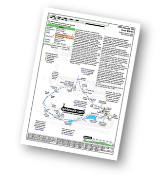
Barley - Lower Ogden Reservoir - The Pendle Way - Upper Ogden Reservoir - Boar Clough - Ogden Clough - Pendle Moor - Barley Moor - Pendle Hill (Beacon or Big End) - Pendle House - Ing Head Farm - Ing Ends - Barley
Route Summary:
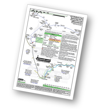
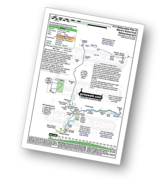
Abbeystead - Stoops Bridge - Tarnbrook Wyre - Lee - Tarnbrook - Higher Syke - Black Side of Tarnbrook Fell - Gables Clough - Tarnbrook Fell - Brown Syke - Wolfhole Crag - Mallowdale Pike (Mallowdale Fell) - Ward's Stone (Mallowdale Fell) - Ward's Stone Breast - Cabin Flat - Lee Fell - Burrow Fell - Grit Fell - Clougha Pike - Shooters Pile - Appletree Moss - Hare Appletree Fell - Jubilee Tower - Lainsley Slack - Abbeystead
Route Summary:
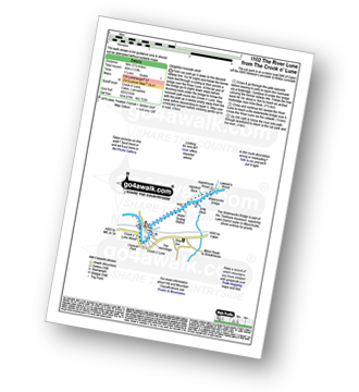
The Crook of Lune - Caton - The River Lune - Crook O' Lune Wood - Artle Beck - Waterworks Bridge - Applehouse Wood - Highfield Beck - Crook O' Lune.
Route Summary:
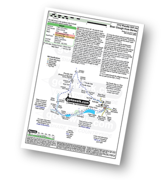
Barley - Lower Ogden Reservoir - The Pendle Way - Upper Ogden Reservoir - Boar Clough - Pendle Moor - Barley Moor - Pendle Hill (Beacon or Big End) - Pendle House - Ing Head Farm - Ing Ends - Barley,.
Route Summary:
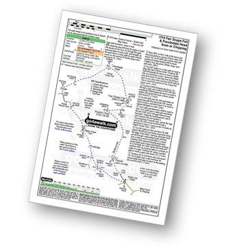
Fell Foot (nr Chipping) - Parlick - Blindhurst Fell - Wolf Fell - Paddy's Pole (Fair Snape Fell) - Fair Snape Fell - Holme House Fell - Fiendsdale Head - Holme House Farm - Higher Snape Farm - Fell Foot (nr Chipping)
Route Summary:
Abbeystead - Stoops Bridge - Tarnbrook Wyre - Lee - Tarnbrook - Higher Syke - Black Side of Tarnbrook Fell - Gables Clough - Tarnbrook Fell - Brown Syke - Mallowdale Pike (Mallowdale Fell) - Ward's Stone (Mallowdale Fell) - Ward's Stone Breast - Cabin Flat - Lee Fell - Grizedale Head - Rotten Hill - Margery's Hill - Higher Lee Farm - Rakehouse Barn - Grizedale Bridge - Abbeystead
Route Summary:
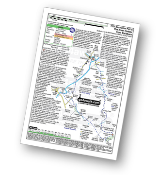
Slaidburn - King Syke - Broadhead Farm - Easington Brook - Skelshaw Brook - Skelshaw Farm - Fell Side Farm - Harrop Fell - Easington Fell - Old Ned - Old Ned's Wife - Sadler Hill - Smelfthwaite Farm - Meanley Farm - Fowler's Laithe - Newton - River Hodder - Dunnow Hall - Dunnow Lodge - Slaidburn
Route Summary:
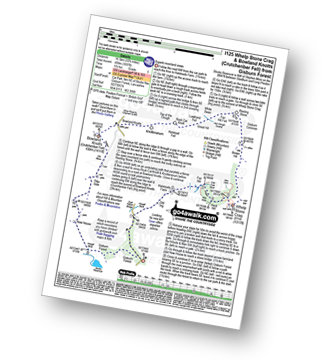
Gisburn Forest - Halsteads Farm - Fair Hill - Herd Hill - Whelp Stone Crag - Brown Hill - Gisburn Common - Resting Stone - Ash Clough Swamp - Lawkland Fell - Rock Cat Knoll - Halstead Fell - Knotteranum - Crutchenber Fell (Bowland Knotts) - Pike Side - New House - Hasgill Beck - Stocks Reservoir - Gisburn Forest
Route Summary:
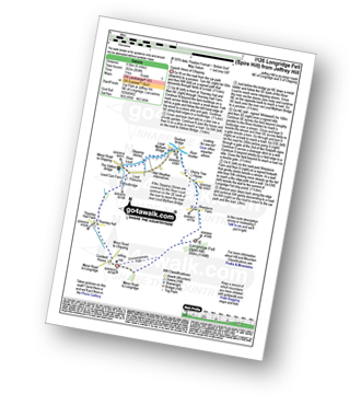
Jeffrey Hill - Thornley Hall - Gibbon Bridge - River Loud - River Hodder - Weedacre Farm - Longridge Fell (Spire Hill) - Jeffrey Hill
Route Summary:
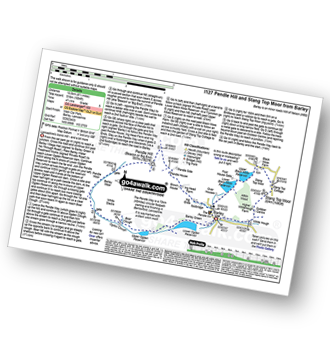
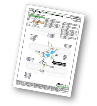
Barley - Lower Ogden Reservoir - The Pendle Way - Upper Ogden Reservoir - Boar Clough - Ogden Clough - Pendle Moor - Barley Moor - Pendle Hill (Beacon or Big End) - Pendle House - Ing Head Farm - Ing Ends - Barley - Lower Black Moss Reservoir - Upper Black Moss Reservoir - Stang Top Moor - White Hough - Barley
Route Summary:
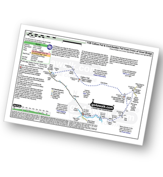
Cross of Greet Bridge - The River Hodder - Cross of Greet - Great Harlow - Raven's Castle - Crowd Stones - Catlow Fell (Ravens Castle) - Hailshowers Fell - Cold Stone - Copy Nook - Knottend Well - Crutchenber Fell (Bowland Knotts) - Pike Side - Catlow Farm - Kearsdon Holes - The River Hodder - Cross of Greet Bridge
Route Summary:
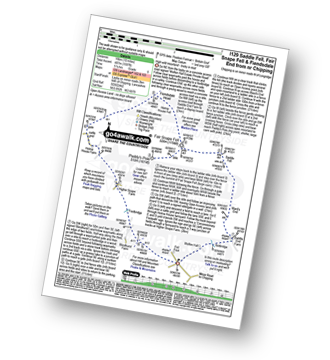
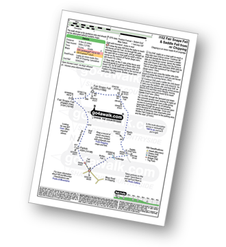
Fell Foot (nr Chipping) - Wolfen Hall - Saddle End Farm - Ward's End - Saddle Fell - Paddy's Pole (Fair Snape Fell) - Fair Snape Fell - Holme House Fell - Fiendsdale Head - Holme House Farm - Higher Snape Farm - Fell Foot (nr Chipping)
Route Summary:
Barley - Lower Black Moss Reservoir - Upper Black Moss Reservoir - Salt Pie - Foot House Gate - Over Houses - Barley,.
Route Summary:
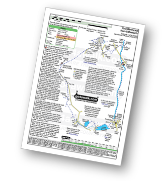
Salterforth Marina - The Leeds and Liverpool Canal - The Leeds and Liverpool Canal Walk - The Pendle Way - Letcliffe Country Park - Bancroft Mill Engine - Barnoldswick - Weets Hill - Weets House - Hollin Hall - Slipper Hill Reservoir - Lower Foulridge Reservoir - Foulridge - Foulridge Wharf - The Leeds and Liverpool Canal - Salterforth.
Route Summary:
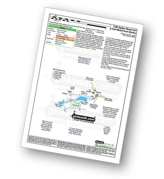
Barley - Barley Green - The Pendle Way - Upper Ogden Reservoir - Fell Wood - Lower Ogden Reservoir - Barley,.
Route Summary:
Fell Foot (nr Chipping) - Parlick - Blindhurst Fell - Wolf Fell - Paddy's Pole (Fair Snape Fell) - Fair Snape Fell - Saddle Fell - Ward's End - Saddle End Farm - Wolfen Hall - Fell Foot (nr Chipping)
Route Summary:
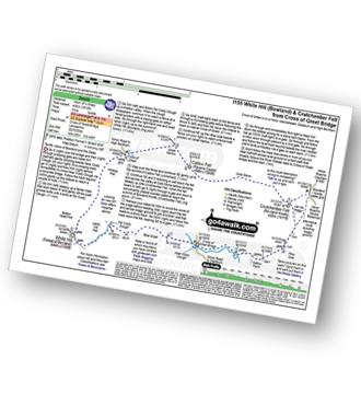
Cross of Greet Bridge - Near Crosty Clough - Shooters' Huts - Far Costy Clough - White Hill (Forest of Bowland) - Botton Head Hill - Whitray Fell - Cross of Greet - Great Harlow - Raven's Castle - Crowd Stones - Catlow Fell (Ravens Castle) - Hailshowers Fell - Cold Stone - Copy Nook - Knottend Well - Crutchenber Fell (Bowland Knotts) - Pike Side - Catlow Farm - Kearsdon Holes - The River Hodder - Cross of Greet Bridge
Route Summary:
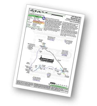
Cross of Greet Bridge - Near Crosty Clough - Shooters' Huts - Far Costy Clough - White Hill (Forest of Bowland) - Botton Head Hill - Whitray Fell - Cross of Greet - Cross of Greet Bridge
Route Summary:
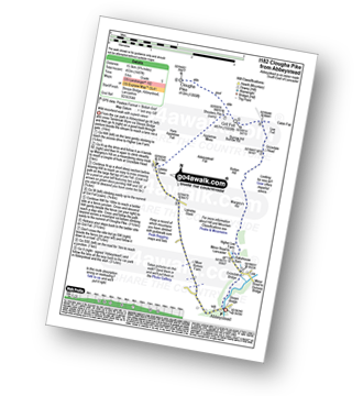
Abbeystead - Stoops Bridge - Tarnbrook Wyre - LCrizedale Bridge - Rakehouse Barn - Higher Lee Farm - Margery's Hill - Rotten Hill - Grizedale Head - Lee Fell - Burrow Fell - Grit Fell - Clougha Pike - Shooters Pile - Appletree Moss - Hare Appletree Fell - Jubilee Tower - Lainsley Slack - Abbeystead
Route Summary:
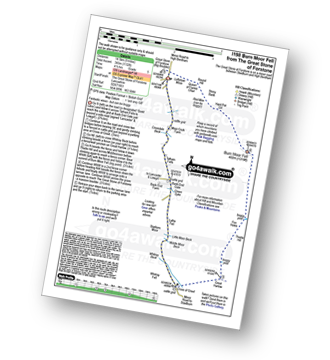
The Great Stone of Forstone - Moor Cock Farm - Tatham Fells - Bank End Gate - Lyth Fell - Starkers Moor - Whitray Fell - Cross of Greet - Great Harlow - Raven's Castle - Crowd Stones - Thistley Hill - Thistle Hill - Tanstree Cragg - Burn Moor Fell - Hart Pot Gill - Stony Bank - Red Mire Queen of The Fairies Chair - Loftshaw Moss - The Great Stone of Forstone
Route Summary:
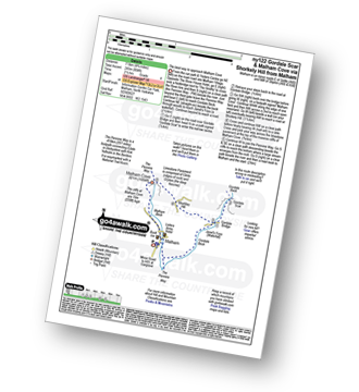
Malham - The Pennine Way - Gordale Beck - New Laithe - Mantley Field Laithe - Janet's Foss - Gordale Bridge - Gordale Scar - Gordale Bridge - Cawden Flats Barn - Shorkley Hill - Sheriff Hill - Malham Cove - Malham Beck - Malham
Route Summary:
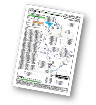
Malham - The Pennine Way - Gordale Beck - New Laithe - Mantley Field Laithe - Janet's Foss - Gordale Bridge - Gordale Scar - New Close - Seaty Hill - Street Gate - Great Close Scar - Great Close Plantation - Malham Tarn - The Pennine Way - Malham Beck - Water Sinks - Comb Hill - Ing Scar Crag - Watlowes - Malham Cove - Malham
Route Summary:
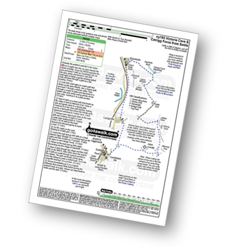
Settle - Constitution Hill - Attermire - Attermire Scar - Victoria Cave - Clay Pits Plantation - Upper Winskill - Catrigg Force (waterfall) - Stainforth - Langcliffe - Settle
Route Summary:
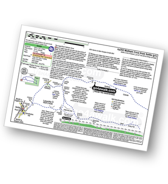
Settle - Constitution Hill - Attermire Scar - Victoria Cave - Stickdale Farm - Malham - Malham Cove - Limestone Pavement - Watlowes - Langscar Gate - Outside - Gorbeck - Jubilee Cave - Clay Pits Plantation - Settle
Route Summary:
Settle - Constitution Hill - Attermire - Attermire Scar - Warrendale Knotts - Victoria Cave - Clay Pits Plantation - Blua Crags - Settle
See this list of walks, routes & maps in:
Grade Order |
Length Order |
Time Order |
Walk Number or Start Location Order
NB. To reverse (toggle) this order, click Grade Order again
To contribute to go4awalk.com or to contact us about anything at all - see Talk To Us. For help see Help.
go4awalk.com and go4awalk.co.uk are registered trademarks of TMDH Limited.
Copyright © 2000-2024 TMDH Limited. All rights reserved.
Copyright | Terms & Conditions | Privacy Statement
A - Z
Walks
Home
Log On/Accounts
Photo Gallery
Walk Ideas and Collections
Fell Facts
Places to Stay
Hill Skills
Walking Questions and Answers
Your Stories
News
Competitions
Product Reviews/Gear Tests
Walking Gear Guides
Peaks and Mountains
Peak Bagging
Find New Walking Friends
Camping
GPS Waypoints for Walking
Contents
Walk Search
Talk to us
go4awalk.com Help
Free example walks
Newsletter

